Parke
Heritage Site in Devon Teignbridge
England
Parke
Parke, located in Devon, England, is a historic heritage site that offers visitors a glimpse into the region's rich cultural and natural heritage. This picturesque estate spans over 250 acres and is known for its beautiful gardens, ancient woodlands, and diverse wildlife.
The history of Parke dates back to the 13th century when it was originally a medieval priory. However, during the Dissolution of the Monasteries in the 16th century, it was converted into a private residence. Today, the grand manor house stands as a testament to its historical significance, with its striking architecture and well-preserved interiors.
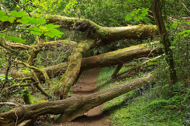
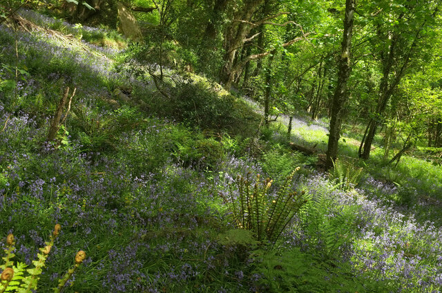
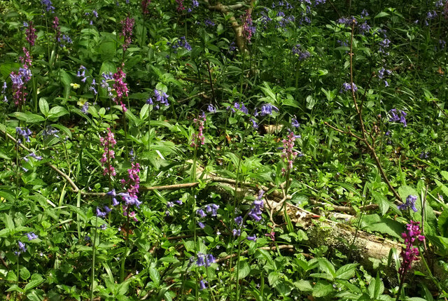
One of the main highlights of Parke is its meticulously maintained gardens. Visitors can wander through the formal gardens, featuring vibrant flower beds, elegant statues, and neatly trimmed hedges. Additionally, the estate boasts extensive woodland areas that are perfect for leisurely walks, with winding paths that lead to tranquil ponds and water features.
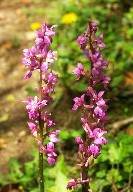
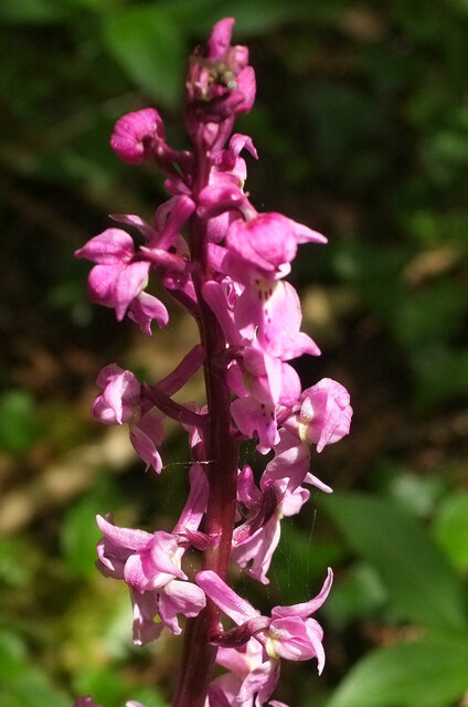
Nature enthusiasts will be delighted by the abundant wildlife at Parke. The estate is home to a variety of bird species, including herons, kingfishers, and woodpeckers, making it a popular spot for birdwatching. Red deer and fallow deer can also be spotted grazing in the meadows, adding to the area's natural charm.
Parke offers a range of activities for visitors of all ages. Families can enjoy picnicking in the designated areas or embark on nature trails that provide educational insights into the local flora and fauna. The estate also hosts regular events and workshops, allowing visitors to engage further with the heritage and natural beauty of Parke.
In summary, Parke in Devon is a captivating heritage site that seamlessly blends history, nature, and culture. With its stunning gardens, ancient woodlands, and diverse wildlife, it provides a serene and immersive experience for all who visit.
If you have any feedback on the listing, please let us know in the comments section below.
Parke Images
Images are sourced within 2km of 50.594/-3.69 or Grid Reference SX8078. Thanks to Geograph Open Source API. All images are credited.


Parke is located at Grid Ref: SX8078 (Lat: 50.594, Lng: -3.69)
Administrative County: Devon
District: Teignbridge
Police Authority: Devon and Cornwall
What 3 Words
///coach.shall.unfocused. Near Bovey Tracey, Devon
Nearby Locations
Related Wikis

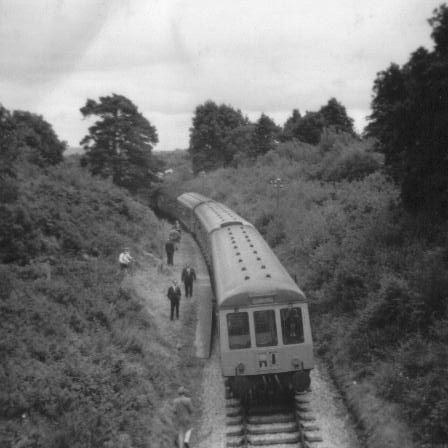
Bovey railway station
Bovey railway station sometimes known as Bovey for Ilsington was on the Moretonhampstead and South Devon Railway at Bovey Tracey, Devon, England. The station...

Bovey Tracey A.F.C.
Bovey Tracey Association Football Club is a football club based in Bovey Tracey, Devon, England. They are currently members of the South West Peninsula...
Brimley Halt railway station
Brimley Halt was a railway station open in 1928 by the Great Western Railway (GWR) to serve the village of Brimley that lies between Bovey Tracey and Ilsington...

Bovey Tracey Town Hall
Bovey Tracey Town Hall is a municipal building in Town Hall Place, Bovey Tracey, Devon, England. The town hall, which is the meeting place of Bovey Tracey...
Nearby Amenities
Located within 500m of 50.594,-3.69Have you been to Parke?
Leave your review of Parke below (or comments, questions and feedback).