Old Barrow

Heritage Site in Somerset

England

Old Barrow

River Barle north of Tarr Steps
River Barle north of Tarr Steps Credit: David Martin

Old Barrow, Somerset is a significant heritage site located in the picturesque county of Somerset, England. It is an ancient burial mound that dates back to the Neolithic period, making it over 5,000 years old. The site is of immense historical importance, providing valuable insights into the prehistoric communities that once thrived in the region.

The Old Barrow stands at an impressive height of 10 meters and has a diameter of approximately 40 meters. It is made up of layers of earth and stone, creating a distinctive circular shape. The mound is surrounded by a shallow ditch, further adding to its architectural significance.

Excavations at Old Barrow have revealed fascinating artifacts such as flint tools, pottery fragments, and even human remains. These findings have helped archaeologists gain a deeper understanding of the burial practices and cultural traditions of the ancient inhabitants. The presence of these objects suggests that the site was used for communal burial rituals and may have held significant spiritual or religious meaning to the Neolithic community.

The Old Barrow is situated in a peaceful rural setting, offering visitors a serene and tranquil atmosphere. It is easily accessible, with nearby parking and well-maintained footpaths leading to the site. Interpretive boards provide informative details about the history and significance of the mound, enhancing the visitor experience.

As a protected heritage site, Old Barrow is carefully managed and preserved by local authorities and historical organizations. Regular maintenance and conservation efforts ensure that this ancient monument continues to be enjoyed by visitors and future generations, allowing them to connect with the rich history of Somerset and the people who once called this land home.

If you have any feedback on the listing, please let us know in the comments section below.
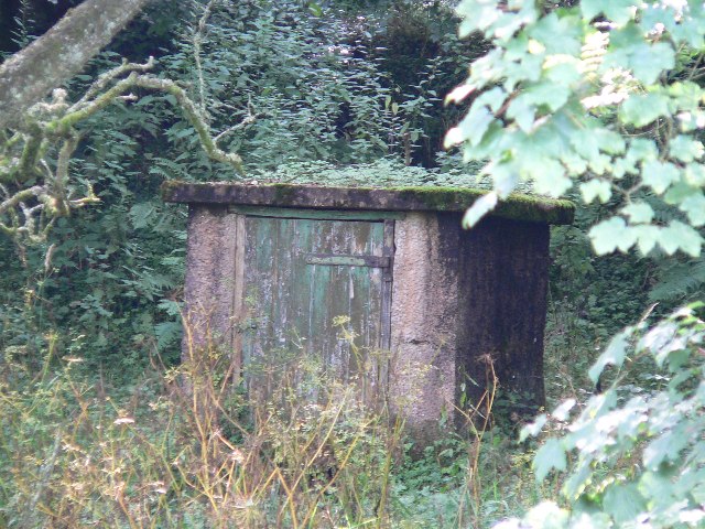
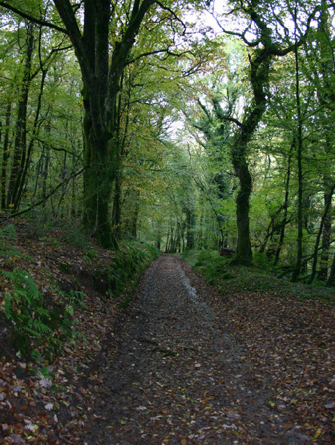
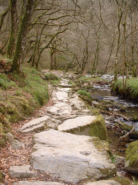
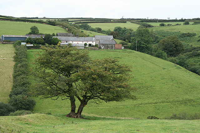
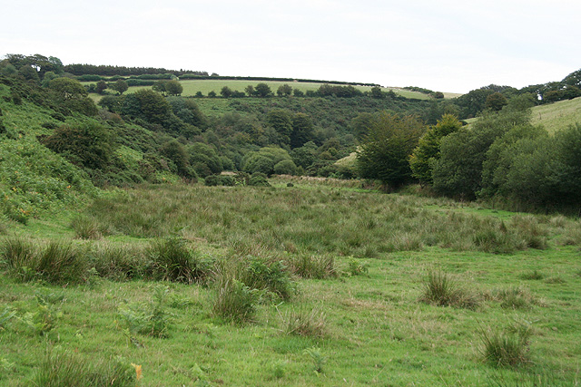
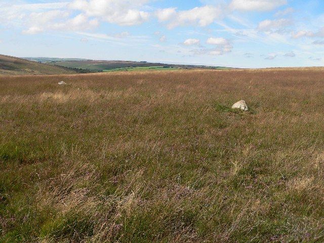
Old Barrow Images

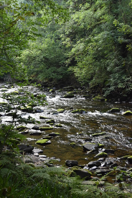
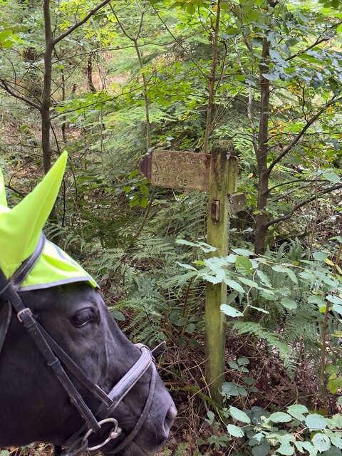
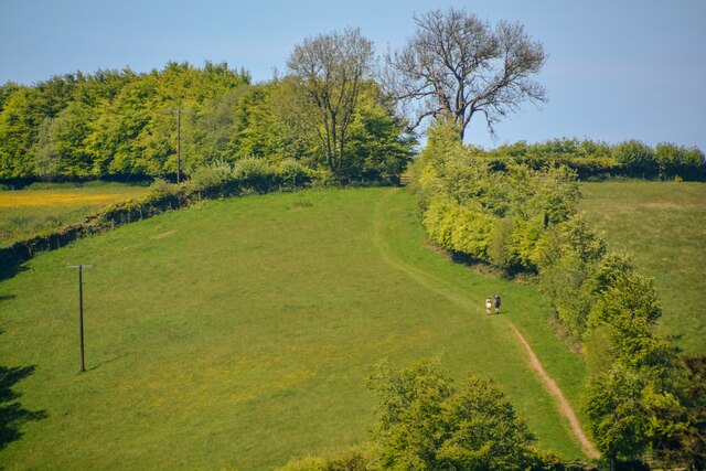
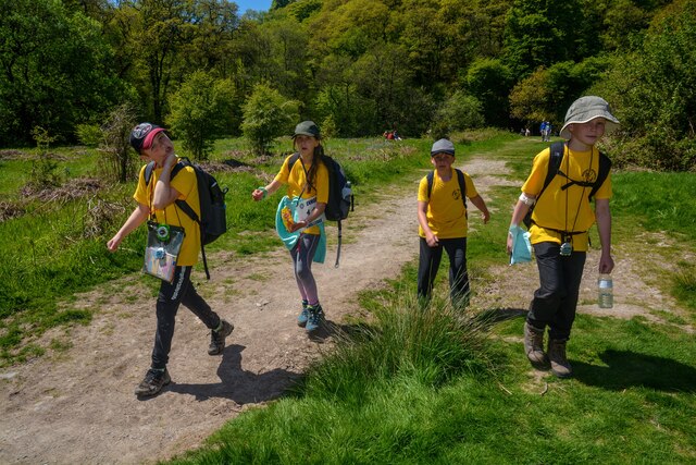
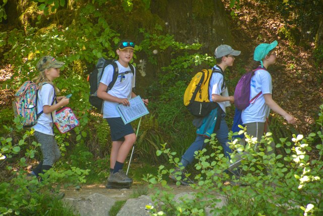
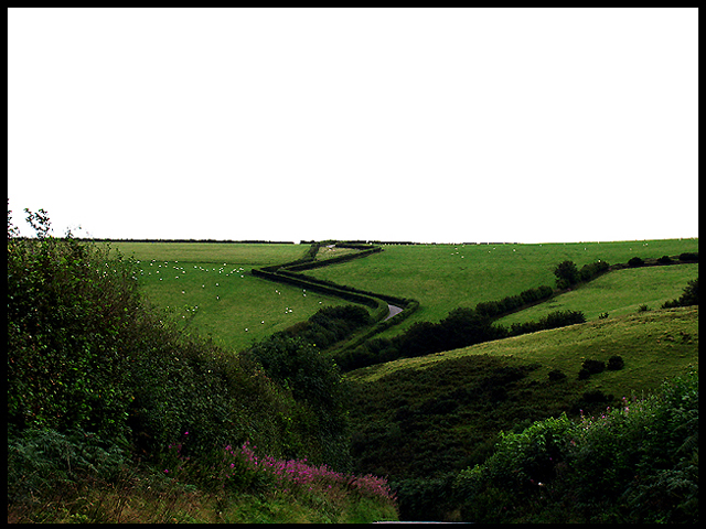
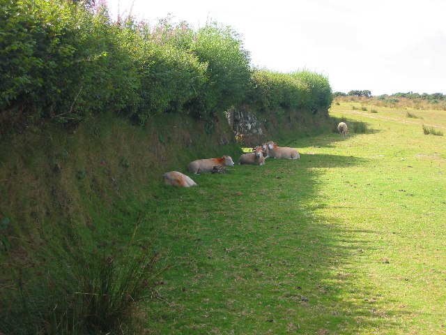
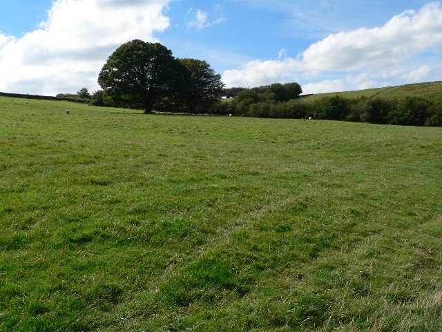
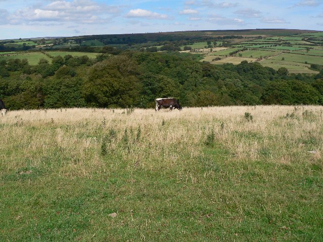
Images are sourced within 2km of 51.08/-3.648 or Grid Reference SS8432. Thanks to Geograph Open Source API. All images are credited.

River Barle north of Tarr Steps
Fingerpost for the restricted byway to Tarr Post
Dulverton : Grassy Hillside Looking across to the hillside.
Dulverton : Grassy Hillside
Looking across to the hillside.
Winsford : Exmoor - Footpath A footpath heads alongside the River Barle. Children take part in the Exmoor Challenge, which is a walk of around 16 miles.
Winsford : Exmoor - Footpath
A footpath heads alongside the River Barle. Children take part in the Exmoor Challenge, which is a walk of around 16 miles.
Winsford : Exmoor - Footpath A footpath which children are walking along as part of the 16 mile Exmoor Challenge.
Winsford : Exmoor - Footpath
A footpath which children are walking along as part of the 16 mile Exmoor Challenge.
Winsford : Exmoor - Footpath Looking across the river to the footpath.
Winsford : Exmoor - Footpath
Looking across the river to the footpath.
Tarr Steps Taken from the Hawkshead side of the river, the Tarr Steps are situated in the far south east corner of the grid square
Tarr Steps
Taken from the Hawkshead side of the river, the Tarr Steps are situated in the far south east corner of the grid square
Worth Lane Worth Lane climbing south out of the valley of the West Water.
Taken from just below Worth in the adjacent grid square.
Worth Lane
Worth Lane climbing south out of the valley of the West Water. Taken from just below Worth in the adjacent grid square.
Tarr Steps - an ancient clapper bridge
Bank at southeastern edge of Withypool Hill Looking West just off the Two Moors Way
Bank at southeastern edge of Withypool Hill
Looking West just off the Two Moors Way
Field south of Westwater Farm Looking South West from Two Moors Way
Field south of Westwater Farm
Looking South West from Two Moors Way
Cow field in front of North Barton Wood Looking North East from Two Moors Way
Cow field in front of North Barton Wood
Looking North East from Two Moors Way
Tarr Steps - medieval clapper bridge and ford Taken from Liscombe bank.
Tarr Steps - medieval clapper bridge and ford
Taken from Liscombe bank.
Hydraulic Ram on River Barle On South side of river visible, and audible, from Two Moors Way on other bank.
Hydraulic Ram on River Barle
On South side of river visible, and audible, from Two Moors Way on other bank.
Woodland track, Row Down Wood, Hawkridge, Somerset The Woodland track leading to Parsonage Farm. Looking down hill in a north-west direction.
Woodland track, Row Down Wood, Hawkridge, Somerset
The Woodland track leading to Parsonage Farm. Looking down hill in a north-west direction.
Path through Lea Wood On the Two Moors way beside the River Barle
Path through Lea Wood
On the Two Moors way beside the River Barle
Molland: towards Cloggs Farm Looking north-north-east. The tree is in square SS8330; Cloggs is in SS8331. In the valley between the two runs the Dane’s Brook. In the field below Cloggs can be seen the remains of old carriage gutters following the contours. To learn how this system functioned see Hazel Riley and Robert Wilson North, The Field Archaeology of Exmoor. English Heritage, 2001
Molland: towards Cloggs Farm
Looking north-north-east. The tree is in square SS8330; Cloggs is in SS8331. In the valley between the two runs the Dane’s Brook. In the field below Cloggs can be seen the remains of old carriage gutters following the contours. To learn how this system functioned see Hazel Riley and Robert Wilson North, The Field Archaeology of Exmoor. English Heritage, 2001
Withypool and Hawkridge: the Dane’s Brook valley Seen below Shircombe, looking east-south-east
Withypool and Hawkridge: the Dane’s Brook valley
Seen below Shircombe, looking east-south-east
Show me another place!

Old Barrow is located at Grid Ref: SS8432 (Lat: 51.08, Lng: -3.648)

What 3 Words

///overdrive.message.noise. Near Dulverton, Somerset

Nearby Locations

Old Barrow

Related Wikis

Withypool Stone Circle

Withypool Stone Circle, also known as Withypool Hill Stone Circle, is a stone circle located on the Exmoor moorland, near the village of Withypool in the...
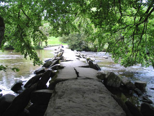
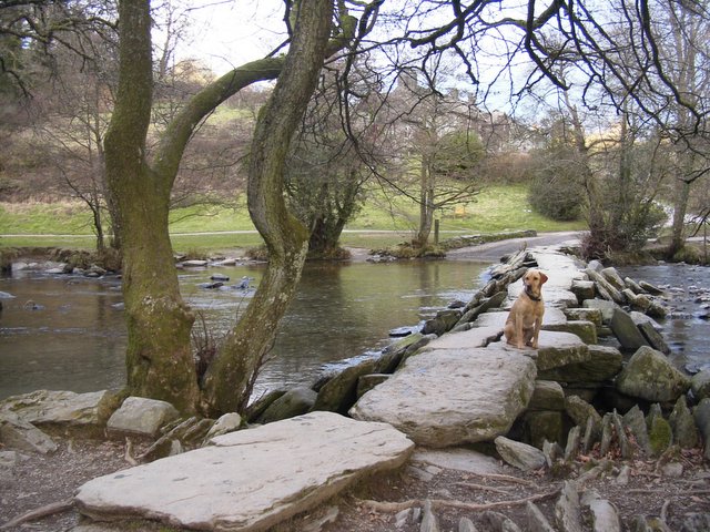
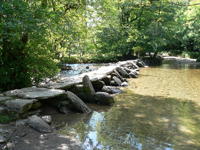
Tarr Steps

The Tarr Steps is a clapper bridge across the River Barle in the Exmoor National Park, Somerset, England. They are located in a national nature reserve...

Church of St Giles, Hawkridge

The Anglican Church of St Giles in Hawkridge, Somerset, England was built in the 14th century. It is a Grade II* listed building. == History == The oldest...

Withypool Bridge

The Withypool Bridge is an arch bridge that carries a small road over the River Barle at Withypool in Somerset, England. It is a Grade II* listed building...

Nearby Amenities

Located within 500m of 51.08,-3.648
The data included in this document is from www.openstreetmap.org. The data is made available under ODbL.

Have you been to Old Barrow?

Leave your review of Old Barrow below (or comments, questions and feedback).