Newtown
Heritage Site in Hampshire
England
Newtown
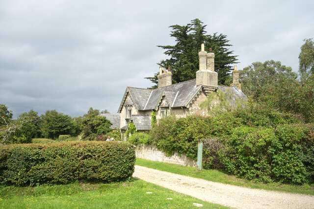
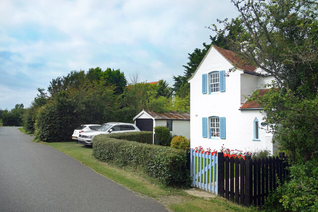
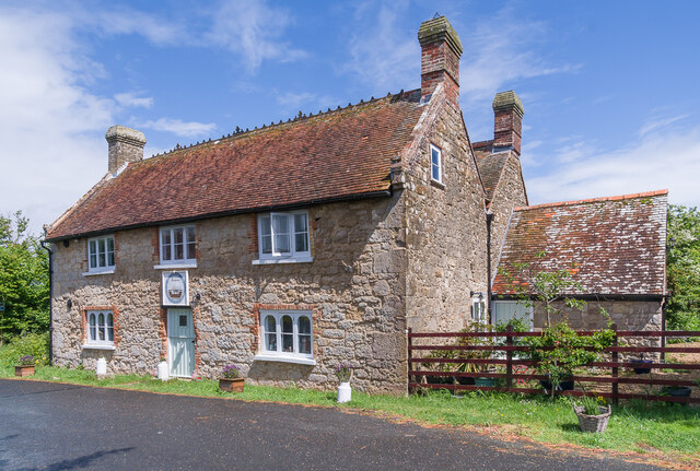
Newtown, Hampshire is a small village located in the county of Hampshire, England. It is recognized as a heritage site due to its rich history and well-preserved architectural landmarks. The village is situated within the New Forest National Park, adding to its natural beauty and appeal.
Dating back to the medieval period, Newtown has a long and fascinating history. It was originally established as a planned town by the Normans in the 12th century, with a grid-like layout that can still be observed today. The village was strategically positioned on the River Beaulieu, making it an important trading post during the Middle Ages.
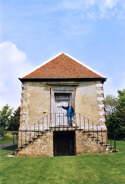
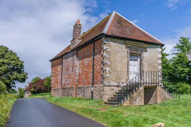
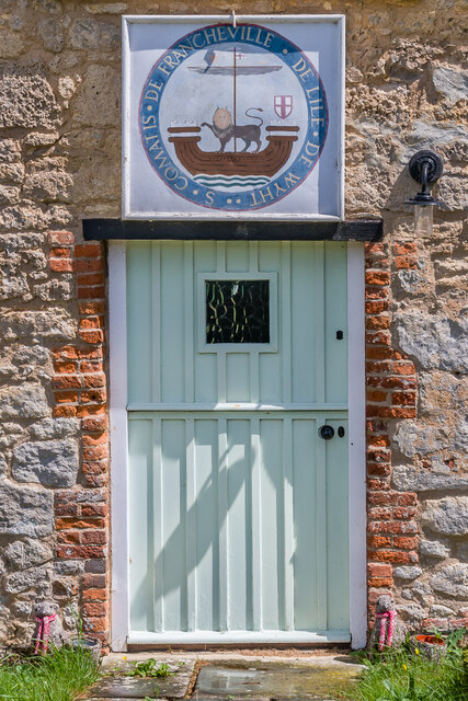
One of the most notable landmarks in Newtown is the Newtown Old Town Hall, which was built in the late 17th century. This Grade I listed building served as the administrative center for the village and is a fine example of Georgian architecture. The Old Town Hall is now open to the public and houses a small museum showcasing the history of Newtown and its surrounding area.
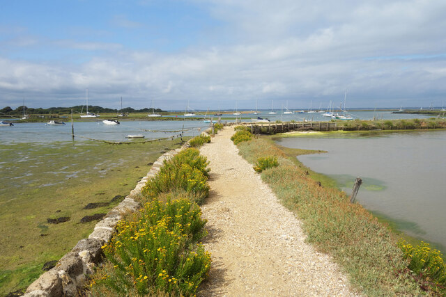
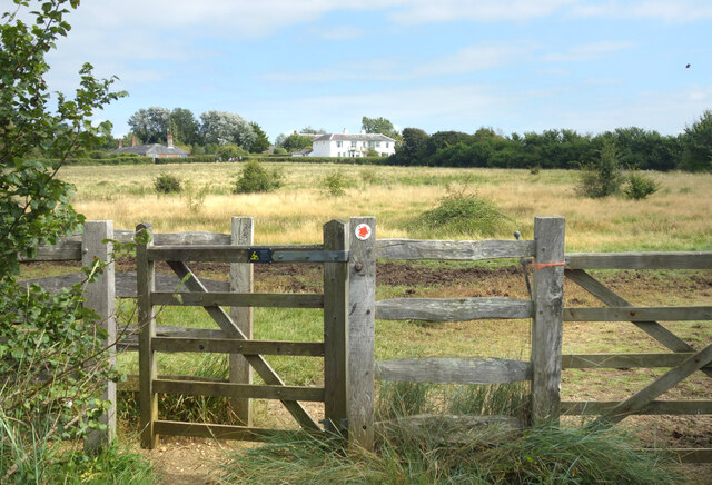
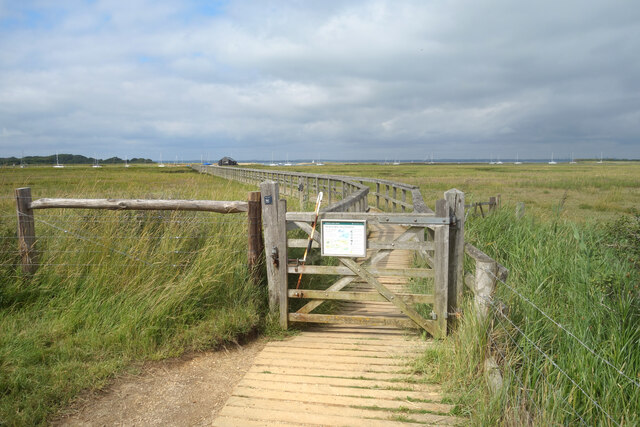
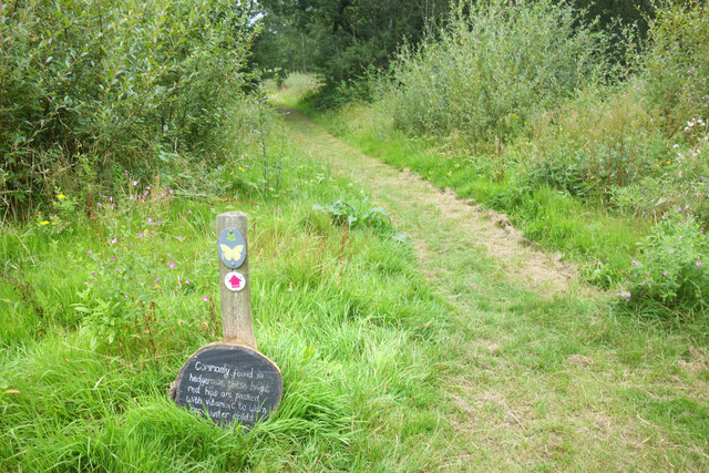
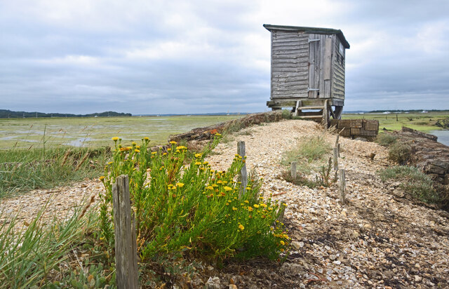
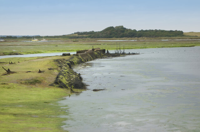
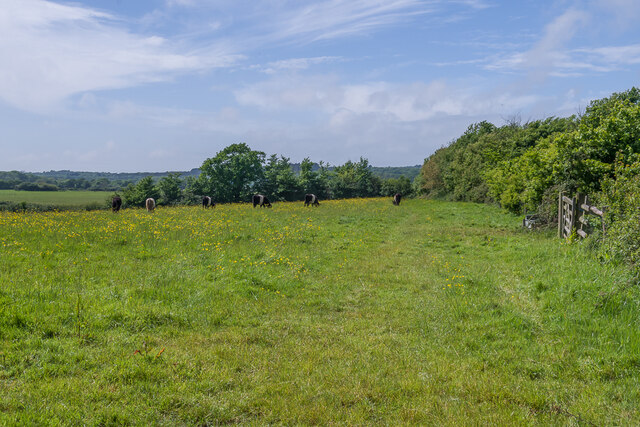
In addition to its architectural treasures, Newtown is also renowned for its picturesque natural surroundings. The village is surrounded by lush green fields and dense forests, offering a peaceful and idyllic setting for visitors. The nearby New Forest National Park provides ample opportunities for outdoor activities such as hiking, cycling, and wildlife spotting.
Overall, Newtown, Hampshire is a charming heritage site that offers a glimpse into the region's past. With its well-preserved architecture and stunning natural beauty, it is a must-visit destination for history enthusiasts and nature lovers alike.
If you have any feedback on the listing, please let us know in the comments section below.
Newtown Images
Images are sourced within 2km of 50.72/-1.413 or Grid Reference SZ4191. Thanks to Geograph Open Source API. All images are credited.
Newtown is located at Grid Ref: SZ4191 (Lat: 50.72, Lng: -1.413)
Unitary Authority: Isle of Wight
Police Authority: Hampshire
What 3 Words
///cake.handyman.makeovers. Near Shalfleet, Isle of Wight
Nearby Locations
Related Wikis

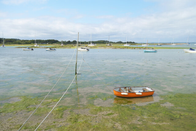
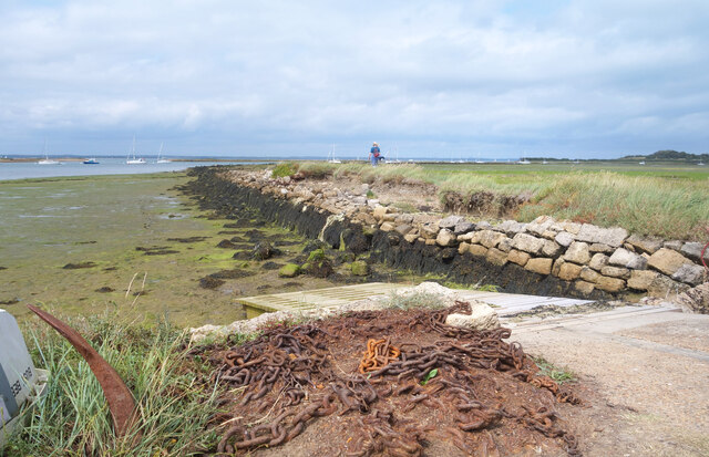
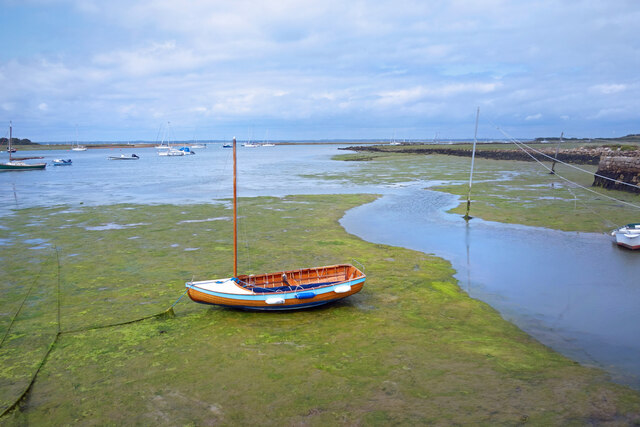
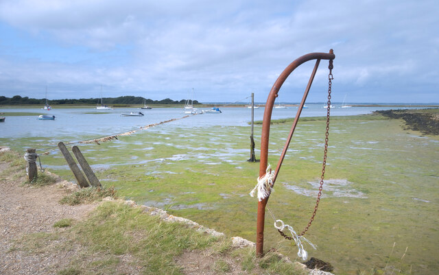
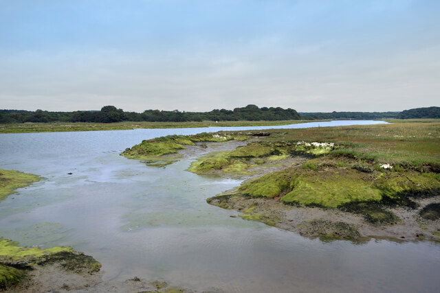
Newtown River
Newtown River is a large natural inland harbour located on the Isle of Wight's northwestern coast, named after the nearby village of Newtown. It is sometimes...

Holy Spirit Church, Newtown
Holy Spirit Church, Newtown is a parish church in the Church of England located in Newtown, Isle of Wight. == History == The church dates from 1835 by...

Newtown Old Town Hall
The Old Town Hall is a municipal building in the High Street in Town Lane, Newtown, Isle of Wight, England. The structure, which is used as a tourist attraction...

Newtown Bay
Newtown Bay is a bay on the northwestern coast of the Isle of Wight, England in the western arm of the Solent. It is a subtle bay located around the exit...
Nearby Amenities
Located within 500m of 50.72,-1.413Have you been to Newtown?
Leave your review of Newtown below (or comments, questions and feedback).