Newton Castle

Heritage Site in Perthshire

Scotland

Newton Castle

Perth Street, Blairgowrie
Perth Street, Blairgowrie Credit: Richard Webb

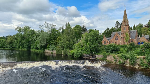
Newton Castle is a historic mansion located in the picturesque region of Perthshire, Scotland. Built in the 17th century, it stands as an impressive example of Scottish baronial architecture. The castle is situated on the banks of the River Tay, offering stunning views of the surrounding countryside.

The castle features a symmetrical design with turrets and battlements, giving it a grand and imposing appearance. It is constructed primarily of local stone, showcasing the craftsmanship of the era. The interiors of Newton Castle are equally impressive, with ornate wood paneling, intricate plasterwork, and elaborately decorated ceilings.

Over the centuries, Newton Castle has been home to several prominent Scottish families, including the Oliphants and the Kinlochs. The castle has witnessed significant historical events and has been visited by notable figures, adding to its rich heritage. Today, the castle is a designated heritage site, preserving its historical and architectural significance.

The castle is surrounded by well-maintained gardens and grounds, providing visitors with a peaceful and serene atmosphere. The gardens feature manicured lawns, vibrant flowerbeds, and ancient trees, creating a delightful setting for leisurely walks.

Visitors to Newton Castle can explore the exterior and grounds, taking in the castle's impressive architecture and scenic surroundings. The castle is occasionally open to the public for guided tours, allowing visitors to step inside and experience its magnificent interiors. The castle is also available for private events and functions, providing a unique and exclusive venue for special occasions.

Overall, Newton Castle in Perthshire stands as a stunning example of Scottish architectural heritage, offering visitors a glimpse into the region's rich history and grandeur.

If you have any feedback on the listing, please let us know in the comments section below.

Newton Castle Images

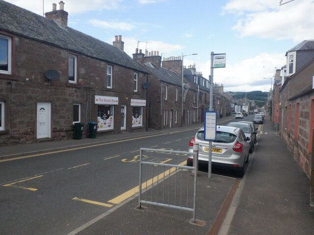
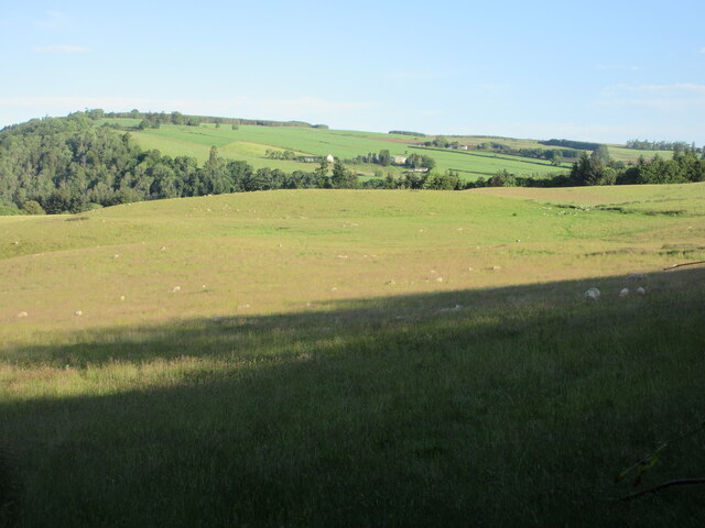
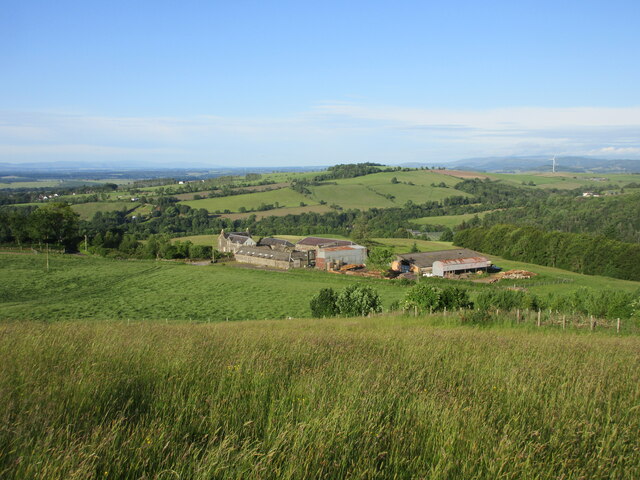
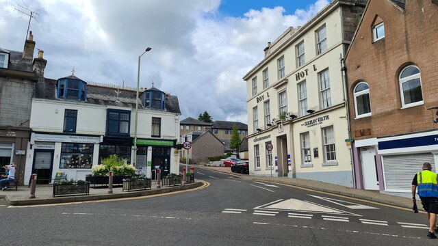
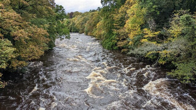
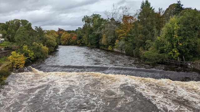
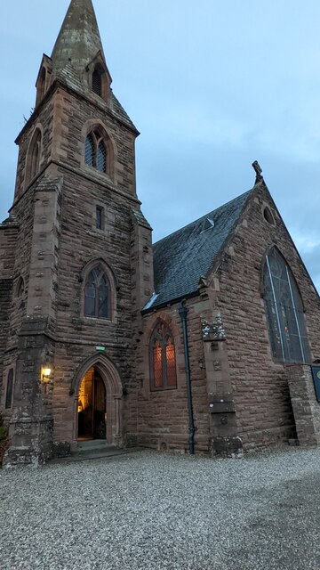
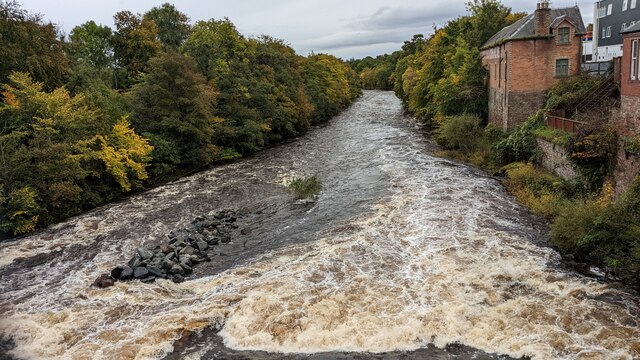
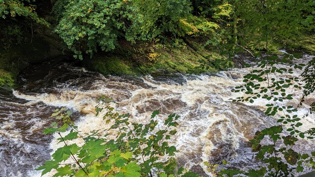
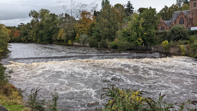
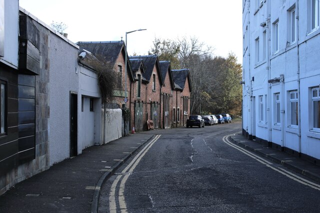
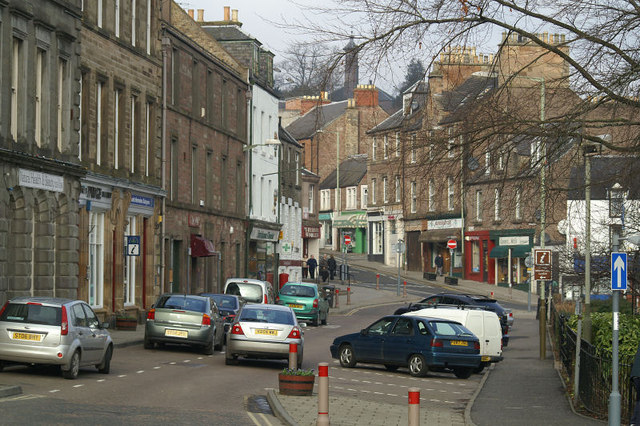
Images are sourced within 2km of 56.595/-3.343 or Grid Reference NO1745. Thanks to Geograph Open Source API. All images are credited.

Perth Street, Blairgowrie
Black Victorian Wallbox Black painted VR wallbox on the corner of the A93 Perth Road and A923 Dunkeld Road in Blairgowrie.
Black Victorian Wallbox
Black painted VR wallbox on the corner of the A93 Perth Road and A923 Dunkeld Road in Blairgowrie.
Blairgowrie Bowling Club Looking east from Lochy Terrace to the bowling green at Blairgowrie Bowling Club.
Blairgowrie Bowling Club
Looking east from Lochy Terrace to the bowling green at Blairgowrie Bowling Club.
River Ericht The River Ericht looking upstream towards Blairgowrie with the tower of the old Hill Church in the distance.
River Ericht
The River Ericht looking upstream towards Blairgowrie with the tower of the old Hill Church in the distance.
Field in the sun Field dotted with sheep in the early morning sunshine, looking north-westwards from the Bonnington Road
Field in the sun
Field dotted with sheep in the early morning sunshine, looking north-westwards from the Bonnington Road
Looking down on Bonnington Bonnington Farm from the hillside above to the north-east.
Looking down on Bonnington
Bonnington Farm from the hillside above to the north-east.
Barley near Linkholms Looking southwards over a field of barley near Linkholms.
Barley near Linkholms
Looking southwards over a field of barley near Linkholms.
Weir on River Ericht at Blairgowrie
Corner of Alan Street and High Street, Blairgowrie
Footbridge near Mill Leat, Blairgowrie
River Ericht, on A93 Bridge, Blairgowrie
Little's Fish Restaurant
River Ericht, A93 Bridge, Blairgowrie
Cargill's Leap
Cargill's Leap
Footpath near Cargills Leap
Footpath near River Ericht
View of River Ericht
Tannage Street, Blairgowrie The brick-built 19th century warehouse is Category C listed <span class="nowrap"><a title="https://portal.historicenvironment.scot/designation/LB49480" rel="nofollow ugc noopener" href="https://portal.historicenvironment.scot/designation/LB49480">Link</a><img style="margin-left:2px;" alt="External link" title="External link - shift click to open in new window" src="https://s1.geograph.org.uk/img/external.png" width="10" height="10"/></span>.
Tannage Street, Blairgowrie
The brick-built 19th century warehouse is Category C listed LinkExternal link.
Show me another place!

Newton Castle is located at Grid Ref: NO1745 (Lat: 56.595, Lng: -3.343)

Unitary Authority: Perth and Kinross

Police Authority: Tayside

What 3 Words

///factoring.fears.atoms. Near Blairgowrie, Perth & Kinross

Related Wikis

Blairgowrie and Rattray

Blairgowrie and Rattray ( ) is a twin burgh in Perth and Kinross, Scotland. Locals refer to the town as "Blair". Blairgowrie is the larger of the two former...

Newton Castle

Newton Castle stands in its grounds near the town of Blairgowrie in Perth and Kinross, Scotland. It is a Category A listed building dating to the mid-16th...

Blairgowrie railway station

Blairgowrie railway station served the burgh of Blairgowrie and Rattray, Perth and Kinross, Scotland from 1855 to 1955 on the Scottish Midland Junction...

Blairgowrie Community Hospital

Blairgowrie Community Hospital is a health facility in Perth Road, Blairgowrie and Rattray, Scotland. It is managed by NHS Tayside. == History == The first...

Nearby Amenities

Located within 500m of 56.595,-3.343
Stop
Lat/Long: 56.5905539/-3.3430426
Cargill's Leap
Tourism: viewpoint
Lat/Long: 56.5990529/-3.3407357
Tourism: viewpoint
Lat/Long: 56.5978653/-3.3399084
Cargill's Leap
Rapids: 5
Waterway: rapids
Lat/Long: 56.59892/-3.3404068
Pub
Milton Royal Hotel
Addr City: Blairgowrie
Addr Housenumber: 53
Addr Postcode: PH10 6AB
Addr Street: Allan Street
Fhrs Id: 938095
Tourism: hotel
Website: https://www.milton-hotels.com/royal
Lat/Long: 56.5929814/-3.3387584
Irvines
Shop: butcher
Lat/Long: 56.5907568/-3.3413333
Telephone
Defibrillator
Booth: KX100
Covered: booth
Defibrillator Location: inside phone box - High Street, Blairgowrie
Emergency: defibrillator
Man Made: telephone_box
Lat/Long: 56.5916376/-3.3405143
Bank
Bank of Scotland
Addr Country: GB
Atm: yes
Brand: Bank of Scotland
Brand Wikidata: Q627381
Brand Wikipedia: en:Bank of Scotland
Contact Website: https://branches.bankofscotland.co.uk/blairgowrie/51-high-street
Lat/Long: 56.5919279/-3.3403147
Semichem
Addr City: Blairgowrie
Addr Housenumber: 21
Addr Postcode: PH10 6ET
Addr Street: High Street
Brand: Semichem
Brand Wikidata: Q17032096
Shop: chemist
Lat/Long: 56.5925061/-3.3398343
Pharmacy
Boots
Addr Housenumber: 49
Addr Postcode: PH10 6AB
Addr Street: Allan Street
Brand: Boots
Brand Wikidata: Q6123139
Brand Wikipedia: en:Boots UK
Dispensing: no
Healthcare: pharmacy
Website: https://www.boots.com/stores/6054-blairgowrie-allen-street-ph10-6ab
Lat/Long: 56.5928605/-3.3387479
Atm
NoteMachine
Brand: NoteMachine
Brand Wikidata: Q104368525
Flickr: https://www.flickr.com/photos/22985844@N07/51995854929/
Operator: NoteMachine
Operator Short: NMATM
Operator Wikidata: Q104368525
Short Name: NMATM
Lat/Long: 56.5922671/-3.3380652
Victoria Hotel
Addr City: Blairgowrie
Addr Postcode: PH10 6NF
Addr Street: Lower Mill Street
Fhrs Id: 940180
Tourism: hotel
Website: http://www.victoriahotelblairgowrie.co.uk/
Lat/Long: 56.5921329/-3.3369053
Recycling
Recycling Cans: yes
Recycling Glass: yes
Lat/Long: 56.5914042/-3.3391626
Place Of Worship
Blairgowrie Evangelical Church
Denomination: evangelical
Religion: christian
Lat/Long: 56.5939901/-3.3397411
Restaurant
Cargills
Addr City: Blairgowrie
Addr Postcode: PH10 6AQ
Addr Street: Lower Mill Street
Website: https://www.cargillsbistro.com/
Lat/Long: 56.5927532/-3.3371468
Bicycle Parking
Access: yes
Bicycle Parking: stands
Capacity: 2
Covered: no
Fee: no
Flickr: https://www.flickr.com/photos/22985844@N07/51996121895/
Lat/Long: 56.591835/-3.3372826
Plash Mill
1860name: Plash Mill
Pont: no
Stobie1783: yes
Designation: Historic Mill
Historic: archaeological_site
Source: OS Six inch 1st series
Lat/Long: 56.593444/-3.3364462
Meikle Mill
1860name: Meikle Mill (Flax)
Pont: no
Stobie1783: no
Designation: Historic Mill
Historic: archaeological_site
Source: OS Six inch 1st series
Lat/Long: 56.593822/-3.3367466
Tourism: picnic_site
Lat/Long: 56.5939948/-3.3371237
Tourism: picnic_site
Lat/Long: 56.5940551/-3.3370481
Tourism: picnic_site
Lat/Long: 56.5935916/-3.336657
Pub
Fair O'Blair
Addr City: Blairgowrie
Addr Country: GB
Addr Housenumber: 25-29
Addr Postcode: PH10 6AB
Addr Street: Allan Street
Brand: Wetherspoon
Brand Wikidata: Q6109362
Brand Wikipedia: en:Wetherspoons
Fhrs Id: 938133
Internet Access: yes
Internet Access Fee: no
Source: survey
Website: https://www.jdwetherspoon.com/pubs/all-pubs/scotland/perth-and-kinross/the-fair-oblair-blairgowrie
Lat/Long: 56.592626/-3.3383662
Cafe
The Wee Coffee House
Addr Postcode: PH10 6AB
Fhrs Id: 440233
Internet Access: wlan
Lat/Long: 56.5922607/-3.3377403
Blairgowrie and Rattray
Burgh: barony
Burgh Start Date: 1930
Loc Name: Blair
Name Gd: Blàr Ghobharaidh agus Raitear
Name Sco: Blairgowrie an Rattray
Place: town
Population: 9040
Wikidata: Q881185
Wikipedia: en:Blairgowrie and Rattray
Lat/Long: 56.5927172/-3.3389425
Post Box
Collection Times: Mo-Fr 09:00; Sa 07:00
Operator: Royal Mail
Post Box Type: wall
Ref: PH10 164D
Lat/Long: 56.5962586/-3.3363171
Sainsbury's Local
Addr Postcode: PH10 6ET
Brand: Sainsbury's Local
Brand Wikidata: Q13218434
Brand Wikipedia: en:Sainsbury's Local
Fhrs Id: 583238
Opening Hours: Mo-Su 07:00-22:00
Shop: convenience
Website: https://stores.sainsburys.co.uk/4363/blairgowrie-high-street-local
Lat/Long: 56.5924959/-3.3393332
Bank
Nationwide Building Society
Addr City: Blairgowrie
Addr Housenumber: 13 - 15
Addr Postcode: PH10 6AH
Addr Street: Leslie Street
Atm: yes
Brand: Nationwide
Brand Wikidata: Q846735
Contact Website: https://locations.nationwidebranches.co.uk/blairgowrie/13-15-leslie-street
Drive Through: no
Operator: Link
Speech Output: yes
Lat/Long: 56.5918096/-3.3381638
Fast Food
Subway
Addr City: Blairgowrie
Addr Housenumber: 14
Addr Postcode: PH10 6ND
Addr Street: Wellmeadow
Brand: Subway
Brand Wikidata: Q244457
Brand Wikipedia: en:Subway (restaurant)
Contact Phone: +44 1250876912
Contact Website: https://restaurants.subway.com/united-kingdom/sc/blairgowrie/14-wellmeadow
Cuisine: sandwich
Delivery: no
Drive Through: no
Fhrs Id: 938027
Opening Hours: Mo-Fr 07:00-22:00; Sa-Su 08:00-22:00
Operator: Subway
Smoking: no
Takeaway: yes
Lat/Long: 56.5921035/-3.3373163
Bank
RBS
Addr City: Blairgowrie
Addr Housenumber: 14
Addr Postcode: PH10 6AD
Addr Street: Allan Street
Brand: RBS
Brand Wikidata: Q160126
Brand Wikipedia: en:Royal Bank of Scotland
Drive Through: no
Official Name: Royal Bank of Scotland
Operator: Link
Lat/Long: 56.5922908/-3.3382238
Bicycle Parking
Bicycle Parking: stands
Capacity: 4
Covered: no
Lat/Long: 56.5918938/-3.3375332
Bicycle Parking
Capacity: 4
Lat/Long: 56.592819/-3.3390098
Cafe
Cateran Café
Addr City: Blairgowrie
Addr Housenumber: 5
Addr Postcode: PH10 6ET
Addr Street: High Street
Fhrs Id: 924164
Internet Access: wlan
Name En: Cateran Café
Source Addr: FHRS Open Data
Lat/Long: 56.5928216/-3.339298
Balmoral Road
Location: outdoor
Operator: SSE
Power: substation
Substation: minor_distribution
Lat/Long: 56.5961184/-3.3364937
Barrier: bollard
Lat/Long: 56.5959467/-3.3374752
Information: map
Map Size: site
Tourism: information
Lat/Long: 56.5939638/-3.3368732
Something Special Flowers
Shop: florist
Lat/Long: 56.5921671/-3.3379877
Atm
RBS
Brand: RBS
Brand Wikidata: Q160126
Brand Wikipedia: en:Royal Bank of Scotland
Covered: no
Official Name: Royal Bank of Scotland
Opening Hours: 24/7
Operator: RBS
Operator Wikidata: Q160126
Wheelchair: yes
Lat/Long: 56.592372/-3.3382314
Atm
Check Date: 2022-04-06
Opening Hours: 24/7
Wheelchair: yes
Lat/Long: 56.5924986/-3.3394804
Nickel 'n' Dime
Shop: variety_store
Lat/Long: 56.5920193/-3.3402532
Ewarts
Addr City: Blairgowrie
Addr Housenumber: 36
Addr Street: High Street
Operator: Ewarts Butchers of Quality
Phone: +44 1250 870358
Shop: butcher
Lat/Long: 56.5921958/-3.3397468
Atm
Brand: Bank of Scotland
Brand Wikidata: Q627381
Check Date: 2022-05-05
Covered: yes
Opening Hours: 24/7
Operator: Bank of Scotland
Operator Wikidata: Q627381
Wheelchair: yes
Lat/Long: 56.5918565/-3.3402729
Post Box
Collection Times: Mo-Fr 17:15; Sa 12:30
Manufacturer: Carronade Engineering Co Ltd Falkirk
Operator: Royal Mail
Operator Wikidata: Q638098
Post Box Design: type_k
Post Box Type: pillar
Ref: PH10 5
Royal Cypher: scottish_crown
Source: survey;local knowledge
Lat/Long: 56.5916603/-3.3404592
David Scott
Shop: funeral_directors
Lat/Long: 56.5913425/-3.3408
Post Office
Blairgowrie Post Office
Addr Postcode: PH10 6DQ
Branch: Blairgowrie
Brand: Post Office
Brand Wikidata: Q1783168
Check Date: 2020-02-20
Contact Website: https://www.postoffice.co.uk/branch-finder/3168204/blairgowrie
Ref Pol Id: 145691
Lat/Long: 56.5910863/-3.3410494
Image: https://www.flickr.com/photos/22985844@N07/51988825006/
Image Direction: NNE
Lat/Long: 56.5932696/-3.3370771
Recycling
Recycling Glass Bottles: yes
Recycling Type: container
Lat/Long: 56.5916984/-3.339227
Power: pole
Lat/Long: 56.5938835/-3.3504736
Power: pole
Lat/Long: 56.5933986/-3.3502197
Power: pole
Lat/Long: 56.593761/-3.3488852
Power: pole
Lat/Long: 56.5935915/-3.3495075
Power: pole
Lat/Long: 56.5989628/-3.3462363
Power: pole
Lat/Long: 56.5988082/-3.3462048
Power: pole
Lat/Long: 56.598003/-3.3460857
Power: pole
Lat/Long: 56.5976233/-3.3470024
Power: pole
Lat/Long: 56.5970754/-3.34627
Power: pole
Lat/Long: 56.5965831/-3.3456162
Power: pole
Lat/Long: 56.596144/-3.3450387
Power: pole
Lat/Long: 56.5956826/-3.3444007
Power: pole
Lat/Long: 56.5956208/-3.3443018
Post Box
Collection Times: Mo-Fr 17:15; Sa 12:30
Manufacturer: Carronade Engineering Co Ltd Falkirk
Operator: Royal Mail
Operator Wikidata: Q638098
Post Box Design: type_k
Post Box Type: pillar
Ref: PH10 7
Royal Cypher: scottish_crown
Source: survey;local knowledge
Lat/Long: 56.5916508/-3.340467
Bench
Lat/Long: 56.5916174/-3.3405312
Post Box
Collection Times: Mo-Fr 09:00; Sa 07:00
Operator: Royal Mail
Post Box Design: type_k
Post Box Type: pillar
Ref: PH10 101
Royal Cypher: scottish_crown
Source: survey;local knowledge
Lat/Long: 56.5918835/-3.3376867
Post Box
Collection Plate: CP5D
Collection Plate Date: 2016-07-20
Collection Times: Mo-Fr 09:00; Sa 07:00
Operator: Royal Mail
Post Box Mounting: wooden_post
Post Box Type: lamp
Ref: PH10 144D
Source: survey;local knowledge
Lat/Long: 56.5920355/-3.3455896
The data included in this document is from www.openstreetmap.org. The data is made available under ODbL.

Have you been to Newton Castle?

Leave your review of Newton Castle below (or comments, questions and feedback).