Newtimber and Pangdean
Heritage Site in Sussex Mid Sussex
England
Newtimber and Pangdean
Newtimber and Pangdean, located in Sussex, England, are two neighboring areas that hold significant historical and cultural value. Both sites are renowned for their rich heritage and offer visitors a glimpse into the past.
Newtimber is a small village nestled within the South Downs National Park. It is most notable for its picturesque 11th-century church, St. John the Evangelist. This Norman church is a prime example of medieval architecture, with its sturdy flint walls and a beautiful wooden spire. The interior features an intricately carved Norman font, ancient stained glass windows, and a collection of historical artifacts. The churchyard itself is a peaceful haven, dotted with ancient gravestones and offering stunning views of the surrounding countryside.
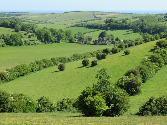
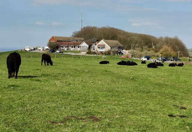
A short distance away lies Pangdean, a historic farmstead that dates back to the 16th century. The farm is known for its charming traditional buildings, including a timber-framed farmhouse and a historic barn. These structures provide a unique insight into the rural life of Sussex's past. Pangdean has been lovingly preserved and is still a working farm, with fields grazed by cattle and sheep.
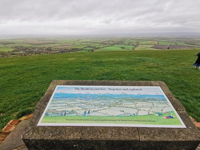
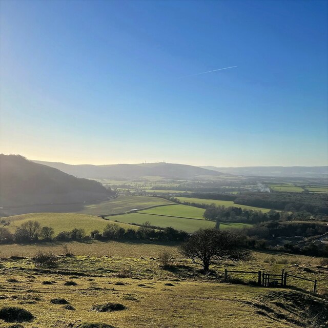
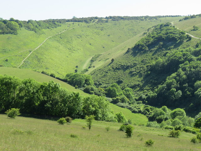
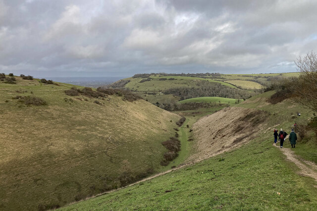
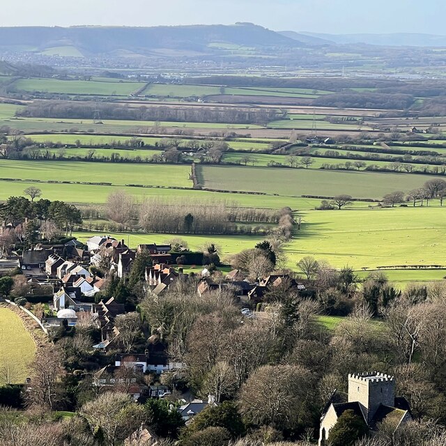
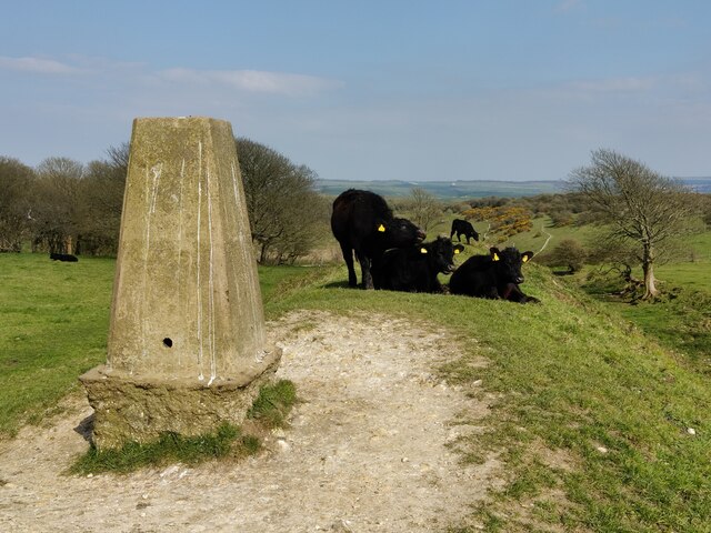
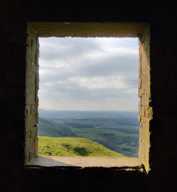
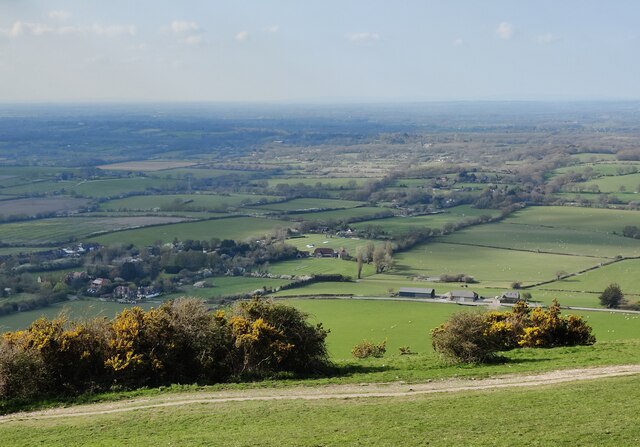
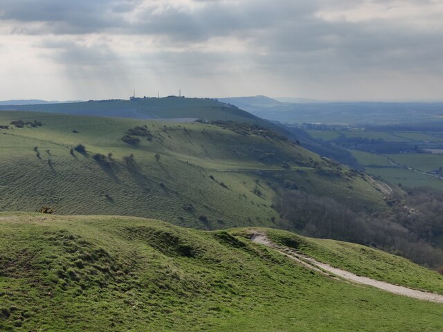
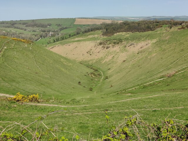
Both Newtimber and Pangdean offer visitors the opportunity to connect with the area's rich history and natural beauty. The sites are often visited by history enthusiasts, photographers, and those seeking a peaceful retreat in the countryside. The surrounding landscapes of rolling hills, lush meadows, and quaint villages further add to the charm and allure of these heritage sites. Whether exploring the ancient church or strolling through the idyllic farmstead, visitors to Newtimber and Pangdean are sure to be captivated by their timeless appeal.
If you have any feedback on the listing, please let us know in the comments section below.
Newtimber and Pangdean Images
Images are sourced within 2km of 50.894/-0.196 or Grid Reference TQ2612. Thanks to Geograph Open Source API. All images are credited.


Newtimber and Pangdean is located at Grid Ref: TQ2612 (Lat: 50.894, Lng: -0.196)
Administrative County: West Sussex
District: Mid Sussex
Police Authority: Sussex
What 3 Words
///roof.wiggles.shrubbery. Near Hassocks, West Sussex
Nearby Locations
Related Wikis

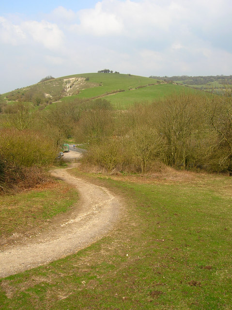
Poynings
Poynings ( or locally ) is a village and civil parish in the Mid Sussex District of West Sussex, England. The parish lies wholly with the South Downs...

Saddlescombe Preceptory
Saddlescombe Preceptory was a priory in West Sussex, England. == References == == Further reading == L. F. Salzmann (1907). "Religious Houses: The Preceptory...
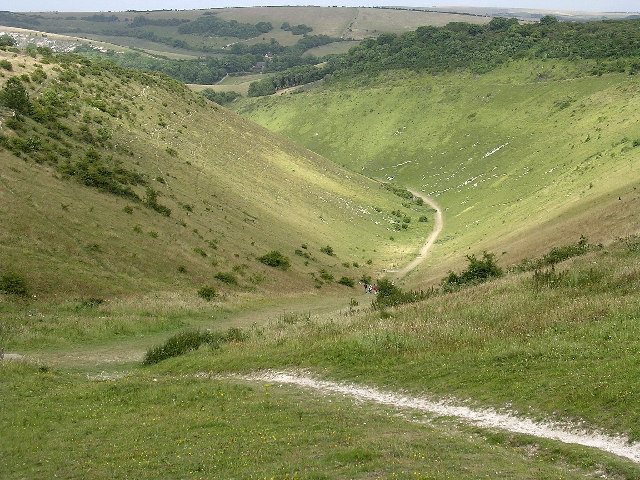
Devil's Dyke, Sussex
Devil's Dyke is a 100 metre (300') deep V-shaped dry valley on the South Downs in Sussex in southern England, 5 miles (8.0 km) north-west of Brighton....

Newtimber Place
Newtimber Place is a Grade I listed building in the Mid Sussex district of West Sussex, England. The house sits on a D-shaped island in a moat. The oldest...
Newtimber
Newtimber is a small village and civil parish in the Mid Sussex District of West Sussex, England. It is located north-west of Brighton. The parish also...
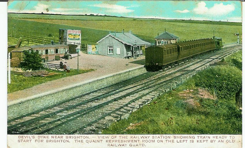
The Dyke railway station
The Dyke railway station was a railway station near Devil's Dyke in West Sussex, England which opened in 1887 and closed in 1939. == History == The Dyke...

Beeding Hill to Newtimber Hill
Beeding Hill to Newtimber Hill is a 321 ha (790-acre) biological and geological Downland Site of Special Scientific Interest (SSSI) north of Shoreham-by...
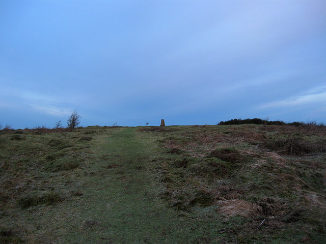
Wolstonbury Hill
Wolstonbury Hill is a 58.9-hectare (146-acre) biological Site of Special Scientific Interest south-west of in West Sussex. It is owned by the National...
Nearby Amenities
Located within 500m of 50.894,-0.196Have you been to Newtimber and Pangdean?
Leave your review of Newtimber and Pangdean below (or comments, questions and feedback).