Newport Castle

Heritage Site in Pembrokeshire

Wales

Newport Castle

Morfa Beach: Christmas Day 2021 A collection of photographs taken around midday by Geographers from all over Britain and Ireland. 
See all the images on the map: <a title="https://www.geograph.org.uk/stuff/xmas.php?year=2021" href="https://www.geograph.org.uk/stuff/xmas.php?year=2021">Link</a>
Morfa Beach: Christmas Day 2021 Credit: Dylan Moore

Newport Castle is a historic fortress located in the coastal town of Newport in Pembrokeshire, Wales. The castle, now in ruins, dates back to the 13th century and is listed as a Scheduled Ancient Monument and a Grade II listed building.

The castle was originally built by the Norman lord, William FitzMartin, in the early 13th century. It served as a defensive structure to protect the Norman settlement against Welsh attacks. The castle was strategically positioned on a hill overlooking the Nevern estuary, providing a vantage point to monitor any potential threats.

The castle consisted of a rectangular stone keep with a courtyard and a curtain wall surrounding it. It was constructed using local rubble stone and featured a strong gatehouse. Over the years, the castle underwent several modifications and expansions, including the addition of a tower and a chapel.

Despite its formidable appearance, Newport Castle saw very little military action throughout its history. By the 16th century, it had fallen into disrepair and was abandoned. The castle gradually deteriorated, and today only fragments of the walls and the gatehouse remain.

Newport Castle is now a popular heritage site, attracting visitors interested in Welsh history and medieval architecture. The ruins offer a glimpse into the castle's past, and the surrounding area provides stunning views of the estuary and the Pembrokeshire coastline. The castle is easily accessible and is often visited by tourists exploring the picturesque town of Newport.

If you have any feedback on the listing, please let us know in the comments section below.

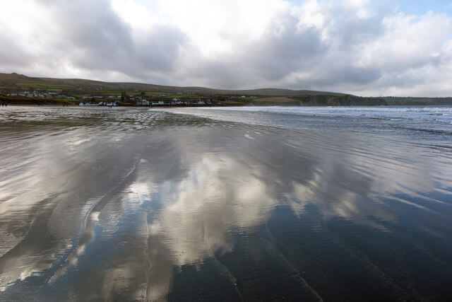
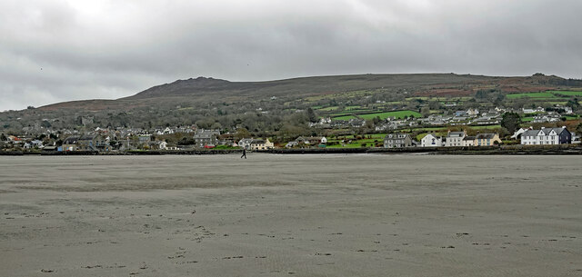
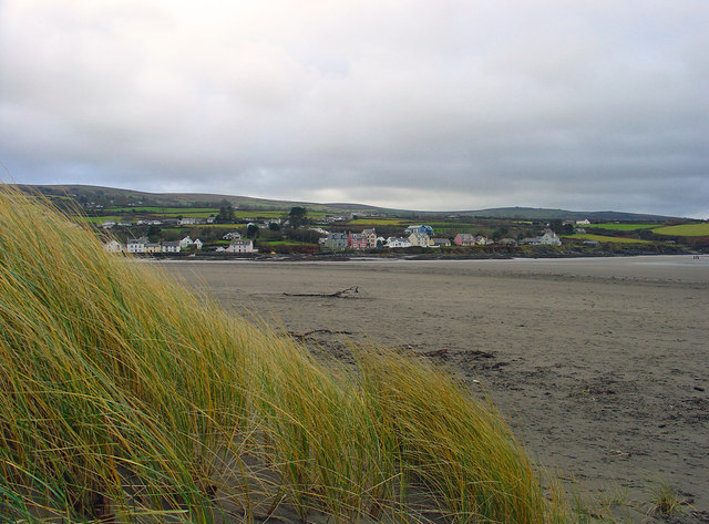
Newport Castle Images

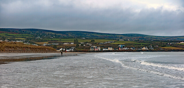
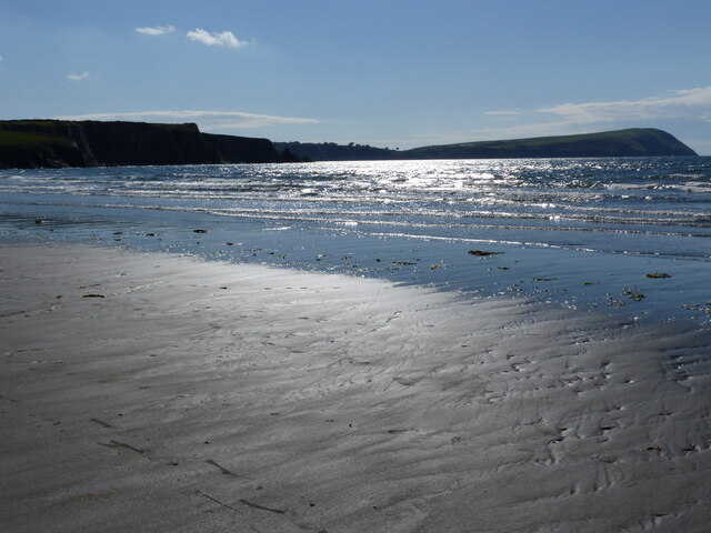
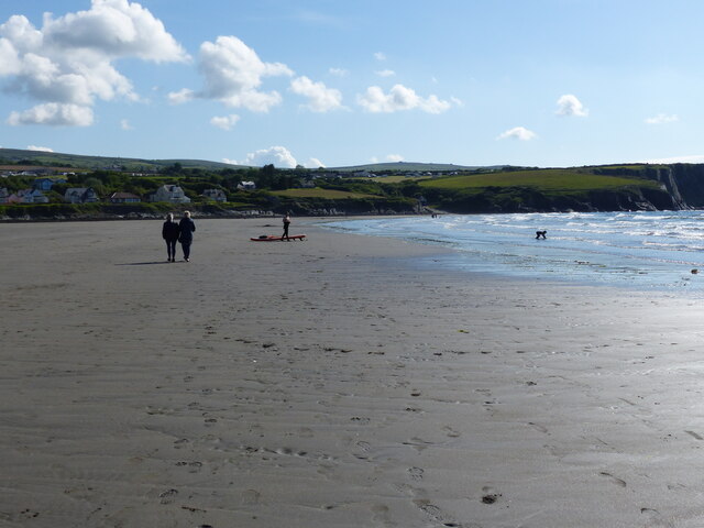
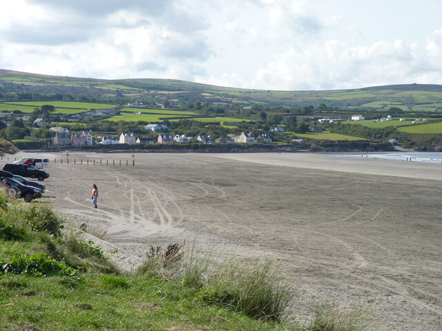
Images are sourced within 2km of 52.01/-4.833 or Grid Reference SN0538. Thanks to Geograph Open Source API. All images are credited.

Morfa Beach: Christmas Day 2021 A collection of photographs taken around midday by Geographers from all over Britain and Ireland. 
See all the images on the map: <a title="https://www.geograph.org.uk/stuff/xmas.php?year=2021" href="https://www.geograph.org.uk/stuff/xmas.php?year=2021">Link</a>
Morfa Beach: Christmas Day 2021
A collection of photographs taken around midday by Geographers from all over Britain and Ireland. See all the images on the map: Link
Morfa Beach, towards Parrog: Christmas Day 2021
Low tide at Newport Sands, looking west
People on the beach at Newport Sands
Parrog, Newport from Newport Sands
Newport Sands: midday Christmas 2022
Newport Sands: Midday Christmas 2022 The weather forecast was for wet and cloudy weather, but as so often, the rain from the southwest never quite made it over Preseli, and it was a glorious sunny morning.
Newport Sands: Midday Christmas 2022
The weather forecast was for wet and cloudy weather, but as so often, the rain from the southwest never quite made it over Preseli, and it was a glorious sunny morning.
A bleak Newport Beach: Christmas Day 2023 The ancient borough of Newport and Carn Ingli form the backdrop.
A bleak Newport Beach: Christmas Day 2023
The ancient borough of Newport and Carn Ingli form the backdrop.
Newport Sands
Newport Sands
Newport Sands on a bitter day in February
Afon Nyfer estuary The small headland curving from the right is The Bennet.
Afon Nyfer estuary
The small headland curving from the right is The Bennet.
Newport golf course A seaside links course.
Newport golf course
A seaside links course.
Newport Sands: Christmas Day
Sandbank at low spring tide Water percolating through the sands flows northeast in the channel to the right.
Sandbank at low spring tide
Water percolating through the sands flows northeast in the channel to the right.
Newport Beach: mid-day Christmas 2013 A collection of photographs taken around midday by Geographers from all over Britain and Ireland. 
See all the images on the map: <a title="https://www.geograph.org.uk/stuff/xmas.php?year=2013" href="https://www.geograph.org.uk/stuff/xmas.php?year=2013">Link</a>
Newport Beach: mid-day Christmas 2013
A collection of photographs taken around midday by Geographers from all over Britain and Ireland. See all the images on the map: Link
Cae amaethyddol ger Berry Hill / Agricultural field near Berry Hill Golygfa lawr i Drefdraeth / A view down to Newport.
Cae amaethyddol ger Berry Hill / Agricultural field near Berry Hill
Golygfa lawr i Drefdraeth / A view down to Newport.
High tide on Newport Beach on a blustery Christmas Day
Show me another place!

Newport Castle is located at Grid Ref: SN0538 (Lat: 52.01, Lng: -4.833)

Unitary Authority: Pembrokeshire

Police Authority: Dyfed Powys

What 3 Words

///likewise.contracting.caressed. Near Newport, Pembrokeshire

Nearby Locations

Newport Castle

Related Wikis

Cnapan Hotel

Cnapan, also known variously as Cnapan Country House or Cnapan Restaurant and Bed & Breakfast, is a Grade II listed hotel and restaurant in Newport, Pembrokeshire...

Carreg Coetan Arthur

Carreg Coetan Arthur is a neolithic dolmen near Newport in North Pembrokeshire, Wales.Carreg Coetan Arthur dates from around 3000 BC and is the remains...

Carn Ingli

Carn Ingli (Welsh: [karn ˈɪŋli]) is a Site of Special Scientific Interest (SSSI) in the Preseli Hills, Pembrokeshire, Wales. It was designated a SSSI in...

Newport, Pembrokeshire

Newport (Welsh: Trefdraeth, meaning: "town by the beach") is a town, community, electoral ward and ancient port of Parrog, on the Pembrokeshire coast in...

Nearby Amenities

Located within 500m of 52.01,-4.833
Give Way
Direction: backward
Lat/Long: 52.014125/-4.8309425
Power: pole
Lat/Long: 52.0095807/-4.833751
Power: pole
Lat/Long: 52.0099736/-4.8351672
Power: pole
Lat/Long: 52.0108189/-4.8381525
Power: pole
Lat/Long: 52.0112729/-4.8397806
Power: pole
Lat/Long: 52.0127702/-4.8280808
Power: pole
Lat/Long: 52.0125193/-4.8308757
Power: pole
Lat/Long: 52.0124054/-4.8328686
Material: wood
Power: pole
Lat/Long: 52.0123146/-4.8344806
Power: pole
Lat/Long: 52.0122436/-4.8358807
Power: pole
Lat/Long: 52.0121677/-4.8373237
Power: pole
Lat/Long: 52.0120736/-4.838748
Direction: WSW
Generator Method: photovoltaic
Generator Output Electricity: yes
Generator Solar Modules: 1
Generator Source: solar
Generator Type: solar_photovoltaic_panel
Location: roof
Power: generator
Lat/Long: 52.0136293/-4.8298786
Direction: 185
Generator Method: photovoltaic
Generator Output Electricity: yes
Generator Solar Modules: 24
Generator Source: solar
Generator Type: solar_photovoltaic_panel
Location: roof
Power: generator
Lat/Long: 52.0103104/-4.839389
Direction: SSE
Generator Method: photovoltaic
Generator Output Electricity: yes
Generator Solar Modules: 7
Generator Source: solar
Generator Type: solar_photovoltaic_panel
Location: roof
Power: generator
Lat/Long: 52.0136402/-4.8299202
The data included in this document is from www.openstreetmap.org. The data is made available under ODbL.

Have you been to Newport Castle?

Leave your review of Newport Castle below (or comments, questions and feedback).