Nan Tow's Tump
Heritage Site in Gloucestershire Stroud
England
Nan Tow's Tump
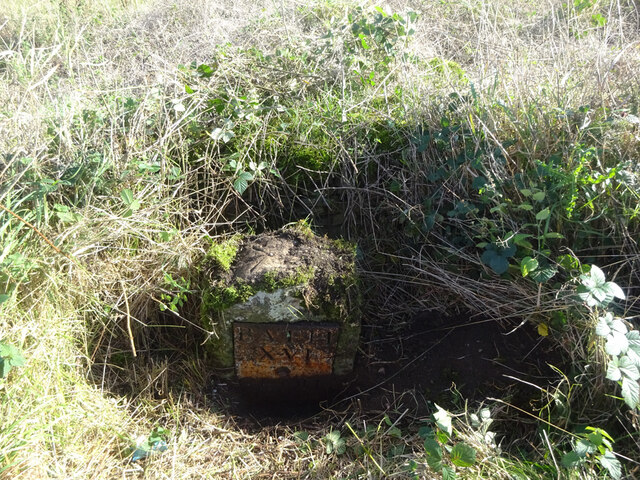
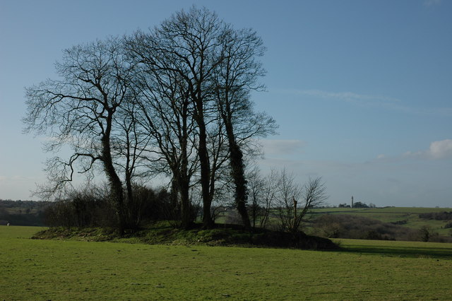
Nan Tow's Tump, located in Gloucestershire, England, is a significant heritage site that holds great historical and cultural value. This ancient monument is a Neolithic long barrow, which is a type of burial mound dating back to around 3,800 to 2,500 BC.
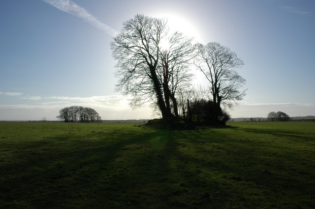
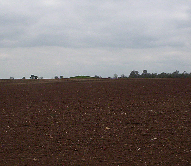
The site is situated near the village of Uley and is known for its distinctive shape, resembling an upturned boat or "tump" in the local dialect. Nan Tow's Tump is approximately 43 meters long and 18 meters wide, with a height of around 3 meters. It is surrounded by a circular ditch and bank, adding to its unique appearance.
Archaeological excavations conducted at the site have revealed several burial chambers within the barrow. These chambers were used to inter the remains of multiple individuals, making Nan Tow's Tump an important burial site during the Neolithic period. The artifacts discovered during excavations suggest that the site had ceremonial and ritualistic significance to the ancient communities that inhabited the area.
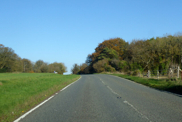
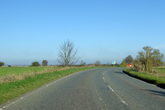
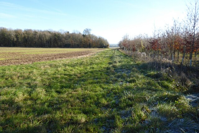
Today, Nan Tow's Tump continues to captivate visitors with its historical allure. The site is open to the public, allowing visitors to explore the ancient monument and appreciate its architectural and archaeological significance. The surrounding landscape provides a picturesque backdrop, offering panoramic views of the scenic Cotswold Hills.
Nan Tow's Tump stands as a testament to the rich cultural heritage of Gloucestershire, providing a glimpse into the lives and beliefs of our Neolithic ancestors. Its preservation and accessibility ensure that future generations can appreciate and learn from this remarkable piece of history.
If you have any feedback on the listing, please let us know in the comments section below.
Nan Tow's Tump Images
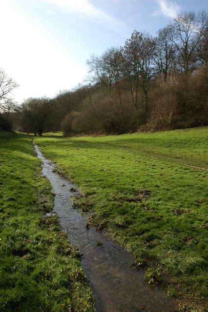
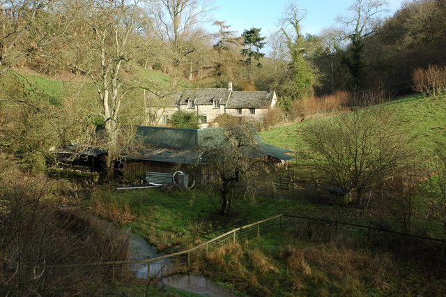
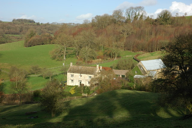
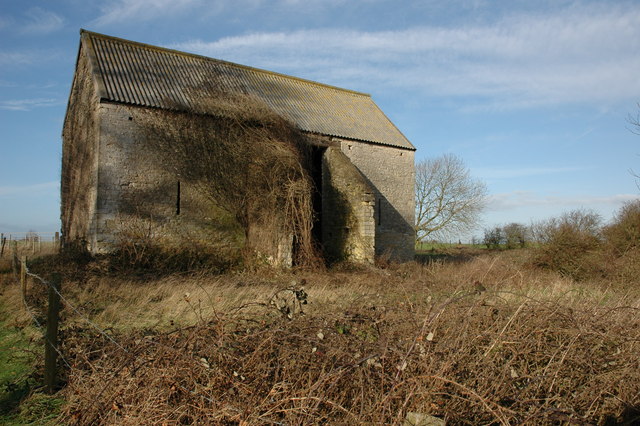
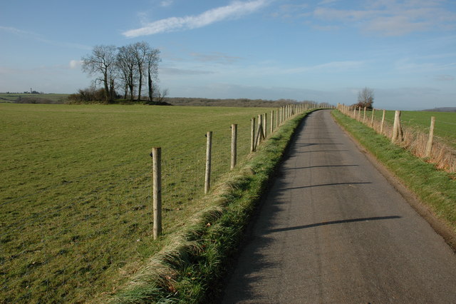
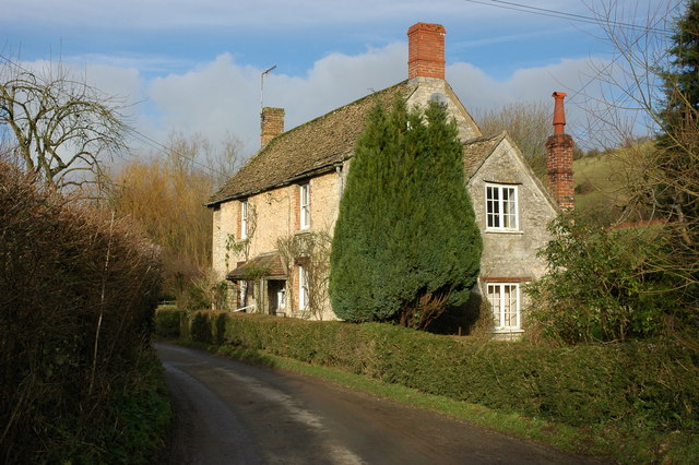
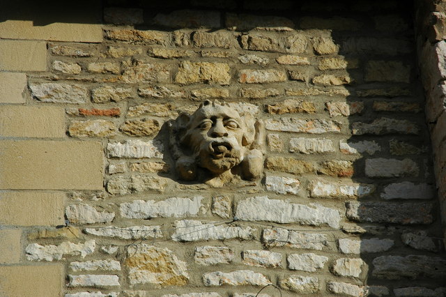
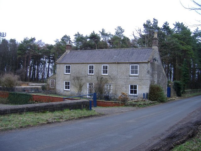
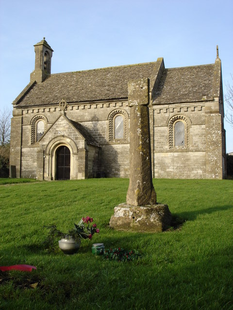
Images are sourced within 2km of 51.603/-2.282 or Grid Reference ST8089. Thanks to Geograph Open Source API. All images are credited.
Nan Tow's Tump is located at Grid Ref: ST8089 (Lat: 51.603, Lng: -2.282)
Administrative County: Gloucestershire
District: Stroud
Police Authority: Gloucestershire
What 3 Words
///drawn.twist.surely. Near Wotton-under-Edge, Gloucestershire
Nearby Locations
Related Wikis

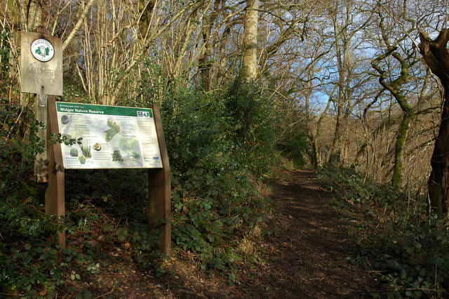
Midger
Midger (grid reference ST797895) is a 65.7-hectare (162-acre) biological Site of Special Scientific Interest straddling the border of Gloucestershire and...

St Arild's Church, Oldbury-on-the-Hill
St Arild's Church is a historic Anglican church near the village of Oldbury-on-the-Hill, Gloucestershire, England under the care of The Churches Conservation...

Boxwell with Leighterton
Boxwell with Leighterton is a civil parish in the Cotswold district of Gloucestershire, England. According to the 2001 census it had a population of 232...

Boxwell
Boxwell is a hamlet in Gloucestershire, England, near the village of Leighterton Boxwell Court is a Grade II* listed manor house from the 15th or 16th...

Oldbury-on-the-Hill
Oldbury-on-the-Hill is a small village and former civil parish, now in the parish of Didmarton, in the Cotswold district, in Gloucestershire, England,...
Tresham
Tresham is a village in Gloucestershire, England. It was transferred back from the county of Avon in 1991, having been in Gloucestershire before 1972....

Leighterton
Leighterton is a village in rural Gloucestershire off the A46. It sits within the civil parish of Boxwell with Leighterton, 4.25 miles west-southwest...

Didmarton
Didmarton is a village and civil parish in Gloucestershire, England. It lies in the Cotswold District, about 6 miles (10 km) southwest of Tetbury. The...
Have you been to Nan Tow's Tump?
Leave your review of Nan Tow's Tump below (or comments, questions and feedback).