Mill Barrows

Heritage Site in Hampshire Winchester

England

Mill Barrows

Refurbished barn on Holden Lane Earlier (and opposite direction) see <a title="https://www.geograph.org.uk/photo/3914644" href="https://www.geograph.org.uk/photo/3914644">Link</a> .
Refurbished barn on Holden Lane Credit: Peter Facey

Mill Barrows is a renowned heritage site located in Hampshire, England. Situated amidst picturesque countryside, it holds significant historical and archaeological importance. The site consists of a group of Bronze Age round barrows, offering a glimpse into the ancient past.

Dating back to the 2nd millennium BC, the barrows are circular burial mounds constructed by the early inhabitants of the area. These mounds, approximately 30 meters in diameter, were created using earth and stones, providing a final resting place for the deceased. The barrows are believed to have been used for multiple burials over many generations, with some containing cremated remains.

Mill Barrows is particularly noteworthy due to its well-preserved nature. The mounds have retained their original shape, despite centuries of erosion and human activity. This exceptional preservation allows archaeologists to study the burial customs and rituals of the Bronze Age people.

The site offers a unique opportunity for visitors to explore and learn about this ancient civilization. Interpretive panels provide information about the significance of the barrows, their construction, and the people who built them. Visitors can also enjoy the tranquil surroundings, with beautiful views of the Hampshire countryside.

Mill Barrows is easily accessible, with nearby parking and footpaths leading to the site. It is an ideal destination for those interested in history, archaeology, and the natural beauty of the English countryside. As a protected heritage site, it continues to contribute to our understanding of the past and serves as a reminder of the rich cultural heritage of Hampshire.

If you have any feedback on the listing, please let us know in the comments section below.
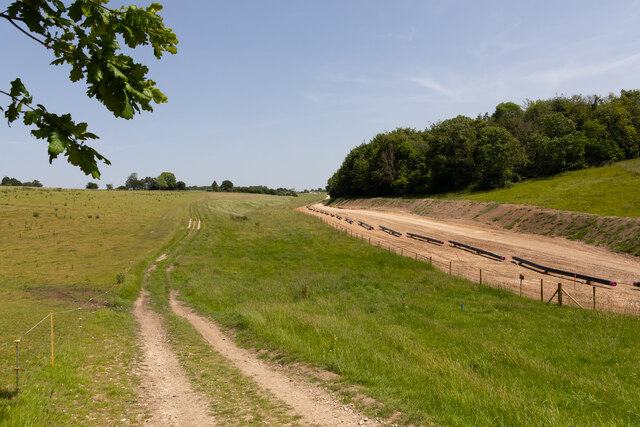
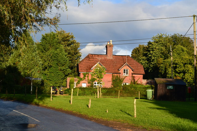
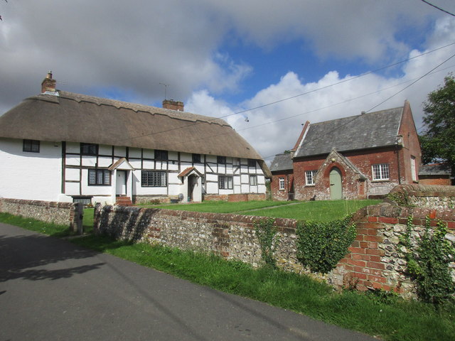
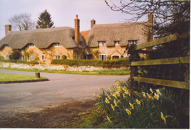
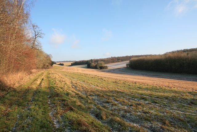
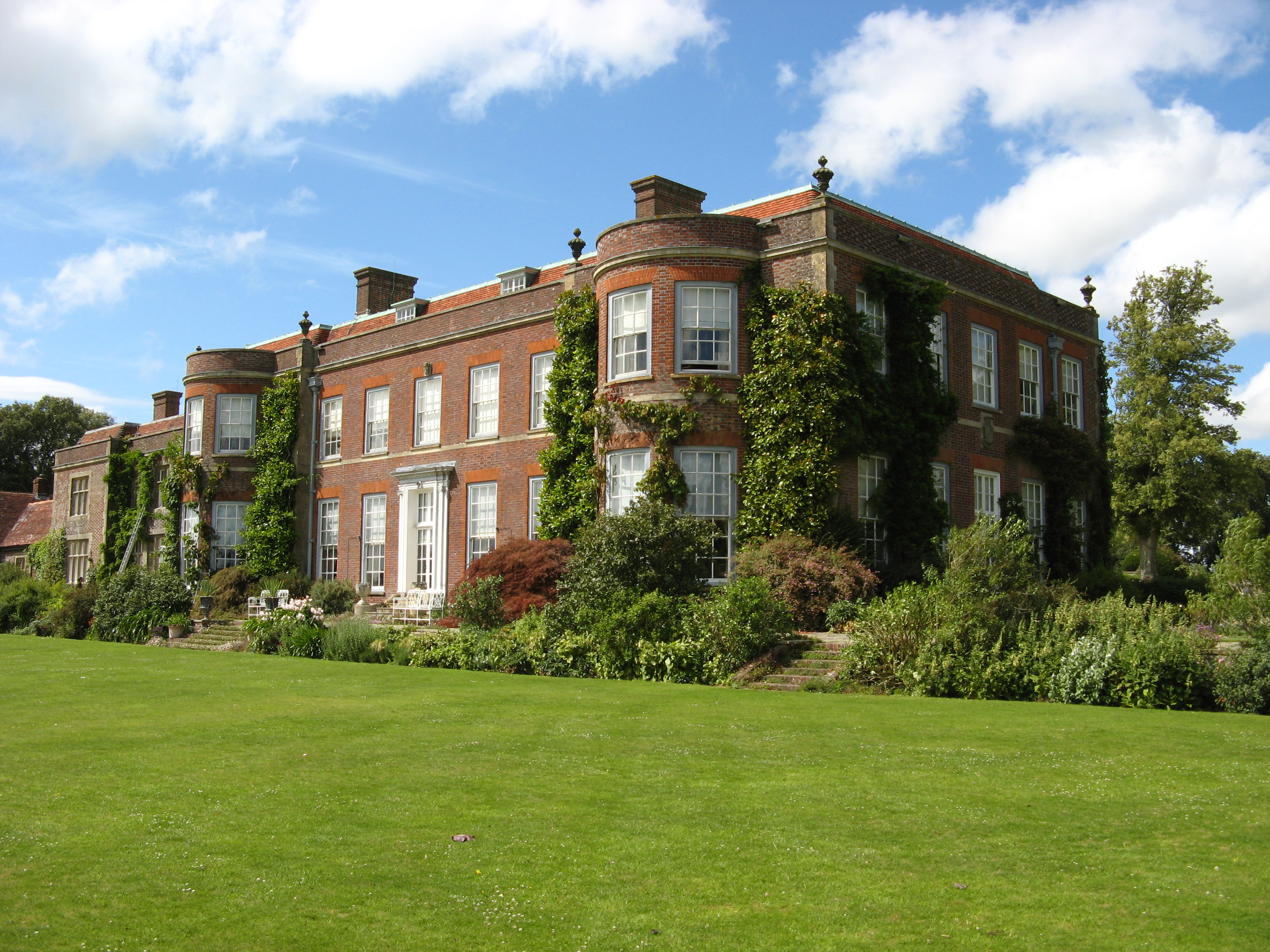
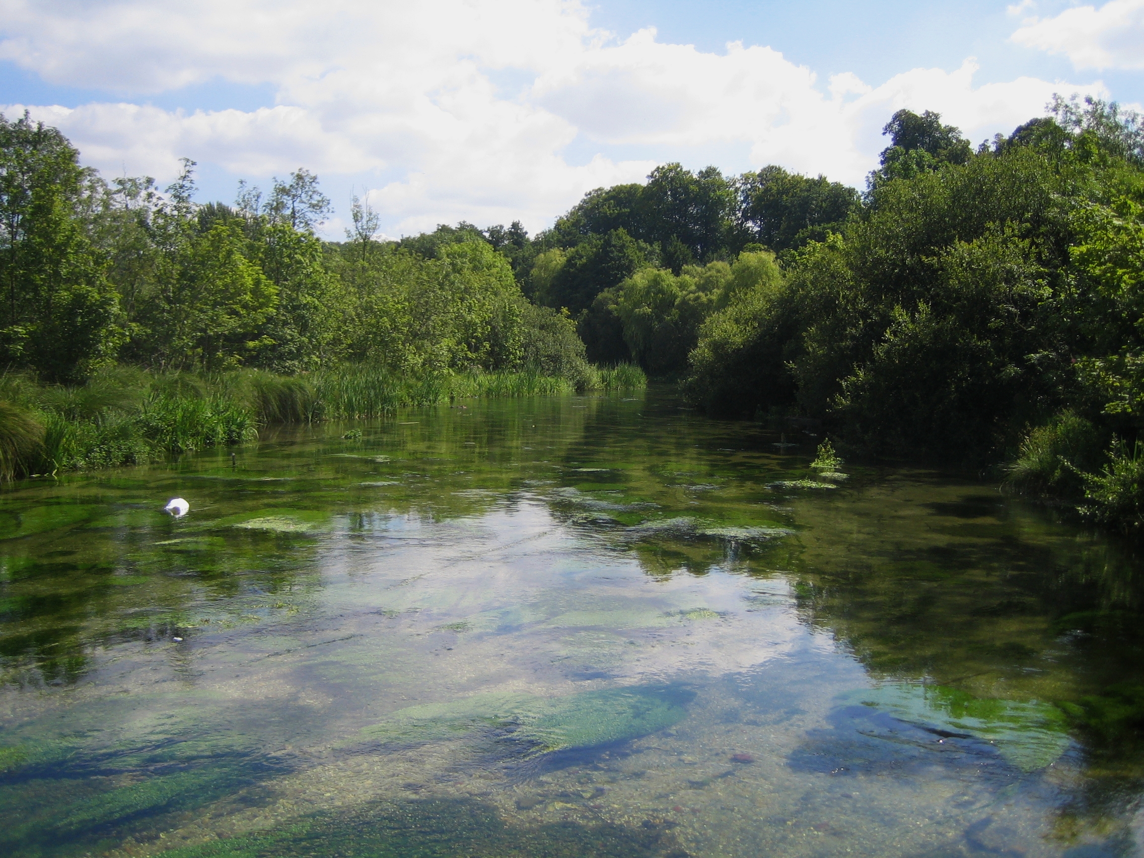
Mill Barrows Images

Images are sourced within 2km of 51.017/-1.18 or Grid Reference SU5724. Thanks to Geograph Open Source API. All images are credited.

Refurbished barn on Holden Lane Earlier (and opposite direction) see <a title="https://www.geograph.org.uk/photo/3914644" href="https://www.geograph.org.uk/photo/3914644">Link</a> .
Refurbished barn on Holden Lane
Earlier (and opposite direction) see Link .
Anti-Gypsy trenching on Holden Farm This recently-dug trench is not for drainage, as evidenced by the fact that there are bunds on both sides of it and there is nothing flowing into it. It is an example of the works that farmers find themselves forced to do to prevent unlawful occupation of their land by so-called travellers. It is a pity that lawyers are incapable of realising the trouble that they cause.
Anti-Gypsy trenching on Holden Farm
This recently-dug trench is not for drainage, as evidenced by the fact that there are bunds on both sides of it and there is nothing flowing into it. It is an example of the works that farmers find themselves forced to do to prevent unlawful occupation of their land by so-called travellers. It is a pity that lawyers are incapable of realising the trouble that they cause.
Lomer Farm Seen from drive to Lomer Cottage, on the South Downs Way. Unclearly seen in front of the farm are works for Esso pipeline laying <a title="https://www.geograph.org.uk/snippet/22652" href="https://www.geograph.org.uk/snippet/22652">Link</a> .
Lomer Farm
Seen from drive to Lomer Cottage, on the South Downs Way. Unclearly seen in front of the farm are works for Esso pipeline laying Link .
Studio of Robert Hunt, Sculptor at Lomer Farm With Mr Hunt in the doorway beside two of his works. I was passing upon the footpath and Mr Hunt was working inside on a hot day so I stopped for a chat. His web site is <span class="nowrap"><a title="https://roberthuntsculpture.com/" rel="nofollow ugc noopener" href="https://roberthuntsculpture.com/">Link</a><img style="margin-left:2px;" alt="External link" title="External link - shift click to open in new window" src="https://s1.geograph.org.uk/img/external.png" width="10" height="10"/></span> . The upper floor of this building is occupied by an office of the Preshaw Estate.
Studio of Robert Hunt, Sculptor at Lomer Farm
With Mr Hunt in the doorway beside two of his works. I was passing upon the footpath and Mr Hunt was working inside on a hot day so I stopped for a chat. His web site is LinkExternal link . The upper floor of this building is occupied by an office of the Preshaw Estate.
Esso pipeline laying works on Lomer Farm The individual pipes are lying upon wooden cradles, known as 'skids', which are actually just four pieces of <a href="https://www.geograph.org.uk/photo/7173617">SU6126 : Timber used to support the pipes temporarily</a>. Later they will be welded together and supported upon piles of earth before burying.
Esso pipeline laying works on Lomer Farm
The individual pipes are lying upon wooden cradles, known as 'skids', which are actually just four pieces of SU6126 : Timber used to support the pipes temporarily. Later they will be welded together and supported upon piles of earth before burying.
Esso pipeline laying works on Lomer Farm The individual pipes are lying upon wooden cradles, known as 'skids', which are actually just four pieces of SU6126 <a href="https://www.geograph.org.uk/photo/7173617">SU6126 : Timber used to support the pipes temporarily</a>. Later they will be welded together and supported upon piles of earth before burying.
Esso pipeline laying works on Lomer Farm
The individual pipes are lying upon wooden cradles, known as 'skids', which are actually just four pieces of SU6126 SU6126 : Timber used to support the pipes temporarily. Later they will be welded together and supported upon piles of earth before burying.
Wheatfield and Millbarrow Plantation
Salt Lane Heavy rain ahead.
Salt Lane
Heavy rain ahead.
House on the road to Kilmeston
Cottages by College Down Farm
Thatched cottages by the green at Beauworth
Houses by the green at Kilmeston
Evening light on field at Kilmeston
Evening shadows and sheep south of Kilmeston
College Down Farm Cottages Grade II listed, late 18th century.
College Down Farm Cottages
Grade II listed, late 18th century.
Beauworth, Church Cottages and Village Hall The cottages date from about 1600 and were once one house <span class="nowrap"><a title="http://www.britishlistedbuildings.co.uk/101095173-church-cottages-beauworth#.WYeCGumQysw" rel="nofollow ugc noopener" href="http://www.britishlistedbuildings.co.uk/101095173-church-cottages-beauworth#.WYeCGumQysw">Link</a><img style="margin-left:2px;" alt="External link" title="External link - shift click to open in new window" src="https://s1.geograph.org.uk/img/external.png" width="10" height="10"/></span> The Village Hall is the former school and is more or less contemporary with the adjacent church (1838) <span class="nowrap"><a title="http://www.britishlistedbuildings.co.uk/101095174-village-hall-beauworth#.WYeCcumQysw" rel="nofollow ugc noopener" href="http://www.britishlistedbuildings.co.uk/101095174-village-hall-beauworth#.WYeCcumQysw">Link</a><img style="margin-left:2px;" alt="External link" title="External link - shift click to open in new window" src="https://s1.geograph.org.uk/img/external.png" width="10" height="10"/></span>
Beauworth, Church Cottages and Village Hall
The cottages date from about 1600 and were once one house LinkExternal link The Village Hall is the former school and is more or less contemporary with the adjacent church (1838) LinkExternal link
Bean field near Beauworth
Alongside Westfield Drove Hamilton Farm Cottages are hidden by the trees.
Alongside Westfield Drove
Hamilton Farm Cottages are hidden by the trees.
Show me another place!

Mill Barrows is located at Grid Ref: SU5724 (Lat: 51.017, Lng: -1.18)

Administrative County: Hampshire

District: Winchester

Police Authority: Hampshire

What 3 Words

///tolerable.coaster.aliens. Near Bishops Waltham, Hampshire

Related Wikis

Preshaw

Preshaw (variously named Presshawe, Presthawe, and Preishawe in old documents) is a manor to the north of Corhampton in the United Kingdom. In the 19th...

Beauworth

Beauworth () is a village and civil parish in the City of Winchester district of Hampshire, England, about eight miles east of Winchester. As of 2013...

Kilmeston

Kilmeston is a small village and civil parish in the City of Winchester district of Hampshire, England. Historically the village has been known as Chelmestune...

Betty Mundy's Bottom

Betty Mundy's Bottom is a wooded valley in the South Downs of Hampshire. There are a variety of folk tales about the name, which goes back centuries....

Beacon Hill, Warnford

There are two hills in Hampshire called Beacon Hill; the other one is near BurghclereBeacon Hill, Warnford is a 46.4-hectare (115-acre) biological Site...

Hinton Ampner

Hinton Ampner is a village and country house estate with gardens and former civil parish, now in the parish of Bramdean and Hinton Ampner, in the Winchester...

Cheriton, Hampshire

Cheriton is a village and civil parish near Alresford in Hampshire, England. The settlement is close to the site of the 1644 Battle of Cheriton, fought...

Itchen Way

The Itchen Way is a 31.80-mile (51.18 km) long-distance footpath following the River Itchen in Hampshire, England, from its source near Hinton Ampner House...

Nearby Amenities

Located within 500m of 51.017,-1.18
Barrier: kissing_gate
Lat/Long: 51.0139748/-1.1755485
Barrier: stile
Lat/Long: 51.0163776/-1.1742551
The data included in this document is from www.openstreetmap.org. The data is made available under ODbL.

Have you been to Mill Barrows?

Leave your review of Mill Barrows below (or comments, questions and feedback).