Mediobogdvm
Heritage Site in Cumberland
England
Mediobogdvm

Mediobogdvm, Cumberland, is a significant heritage site located in present-day Carlisle, Cumbria, England. The site holds archaeological remains from the Roman period and provides valuable insights into the region's rich history.
Mediobogdvm was a Roman fort originally established around AD 72 as a key military outpost on Hadrian's Wall, a defensive barrier constructed by the Romans to protect their empire's northern frontier. The fort was strategically positioned near the confluence of the rivers Eden, Caldew, and Petteril, offering an advantageous location for controlling and monitoring the nearby river crossings.
The fort itself covered an area of approximately 6 acres and was originally built using timber structures. Over time, it was enhanced with stone buildings and defensive walls. The fort's layout featured typical Roman military architecture, including barracks, granaries, a principia (headquarters), and other necessary facilities to support the garrison.
Excavations at the site have uncovered various artifacts, such as pottery, jewelry, coins, and weaponry, providing valuable insights into the daily life of the Roman soldiers stationed at Mediobogdvm. The fort also served as a key administrative center for the surrounding region, which was inhabited by local tribes such as the Brigantes.
Today, visitors to Mediobogdvm can explore the remains of the fort, including sections of the original defensive walls, foundations of buildings, and reconstructed gateways. The site offers a unique glimpse into the Roman Empire's presence in northern England and its military strategies along Hadrian's Wall.
If you have any feedback on the listing, please let us know in the comments section below.
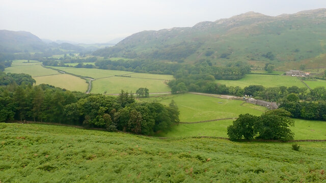
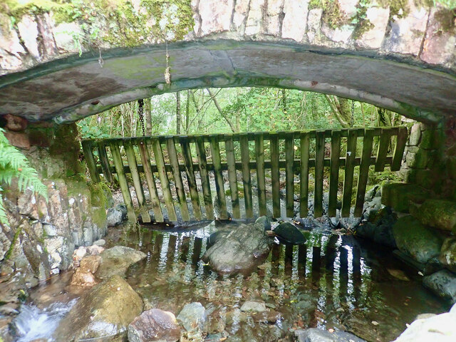
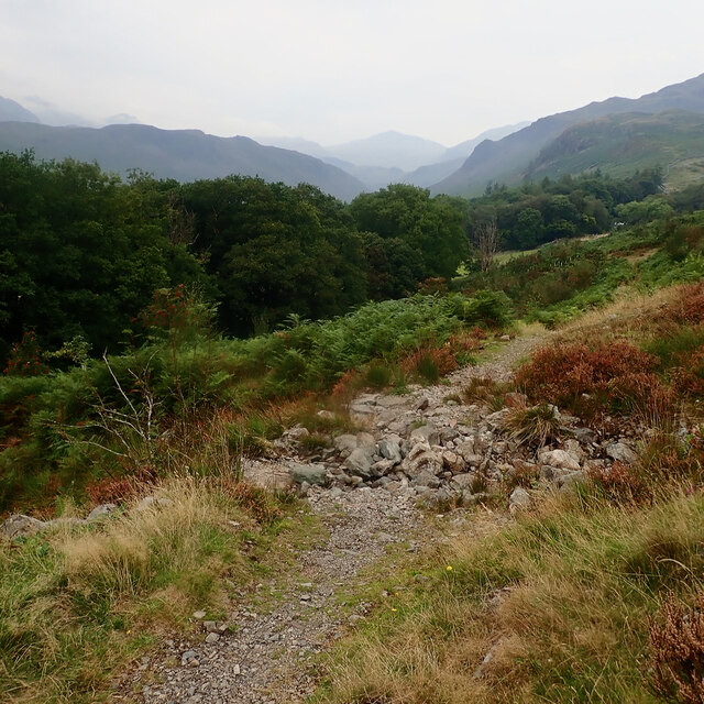
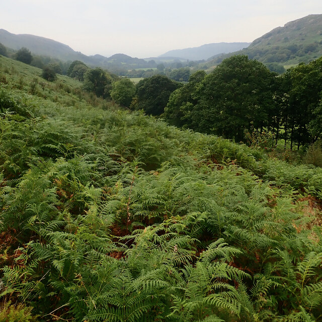
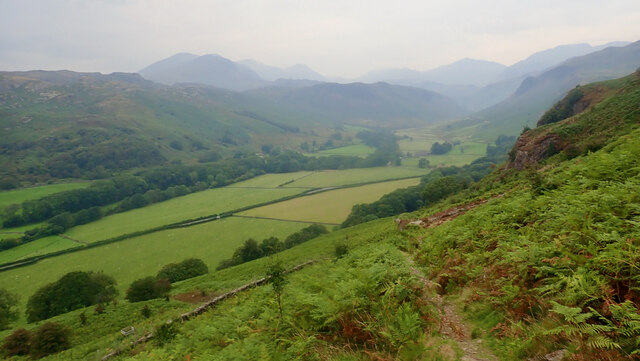
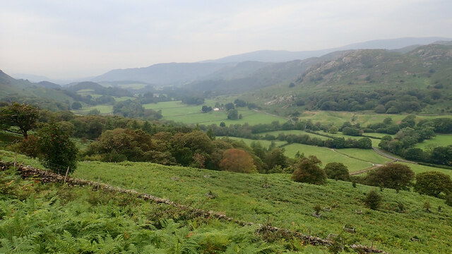
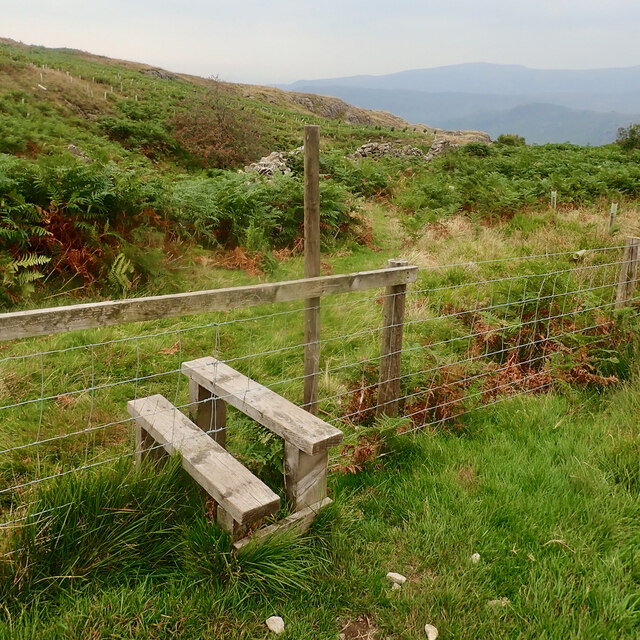
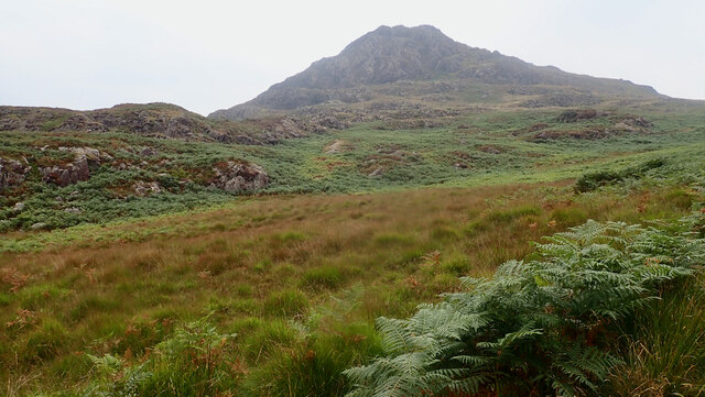
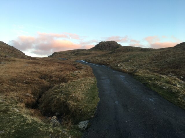
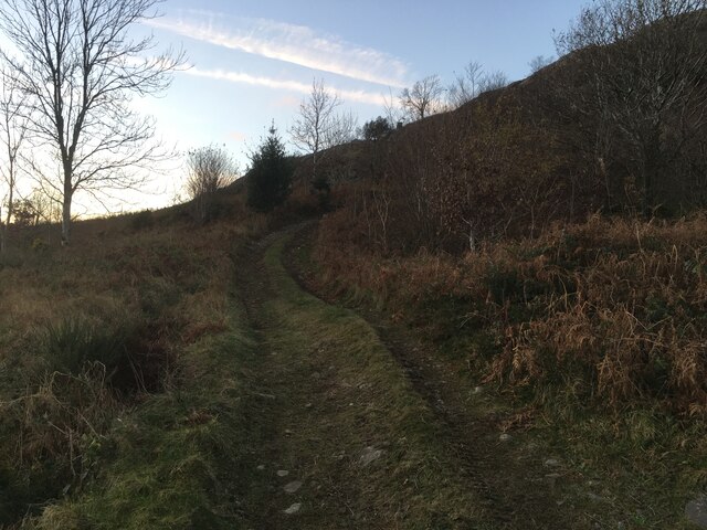
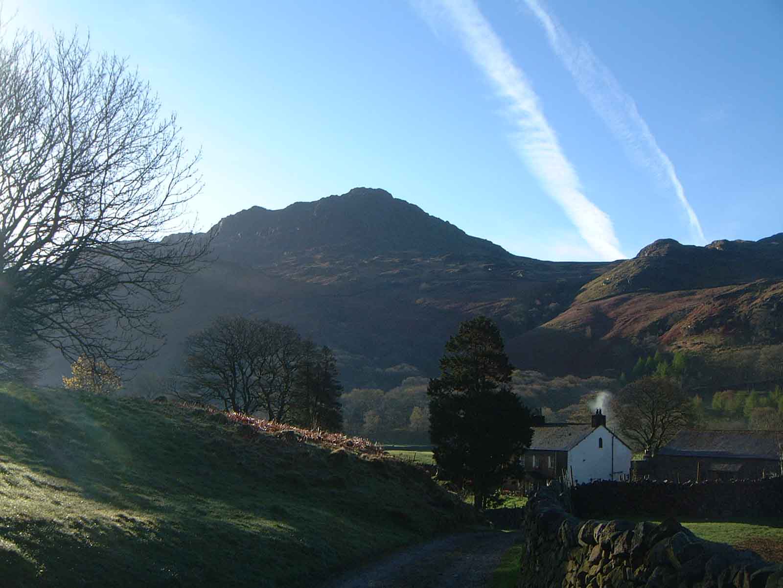
Mediobogdvm Images
Images are sourced within 2km of 54.402/-3.21 or Grid Reference NY2101. Thanks to Geograph Open Source API. All images are credited.


Mediobogdvm is located at Grid Ref: NY2101 (Lat: 54.402, Lng: -3.21)
Administrative County: Cumbria
Police Authority: Cumbria
What 3 Words
///ribcage.destiny.houseboat. Near Ambleside, Cumbria
Nearby Locations
Related Wikis

Hardknott Roman Fort
Hardknott Roman Fort is an archeological site, the remains of the Roman fort Mediobogdum, located on the western side of the Hardknott Pass in the English...

Hardknott Pass
Hardknott Pass is a hill pass between Eskdale and the Duddon Valley in the Lake District National Park, Cumbria, England. The tarmac-surfaced road, which...
Harter Fell (Eskdale)
Harter Fell is a fell in the western part of the English Lake District, located between the Eskdale and Duddon valleys. Its height is 653 metres (2,142...

Hard Knott
Hard Knott is a fell in the English Lake District, at the head of Eskdale. == Geology == Rhyolitic lava-like tuff of the Bad Step Tuff forms the summit...
Nearby Amenities
Located within 500m of 54.402,-3.21Have you been to Mediobogdvm ?
Leave your review of Mediobogdvm below (or comments, questions and feedback).