Meaburn Hall
Heritage Site in Westmorland Eden
England
Meaburn Hall
Meaburn Hall is a historic mansion located in the picturesque village of Crosby Ravensworth, Cumbria, in the former county of Westmorland, England. Built in the late 16th century, the hall is a Grade II listed heritage site that has retained much of its original charm and architectural features.
The hall is a fine example of a traditional English manor house, showcasing a mix of Elizabethan and Jacobean architectural styles. The exterior of the building is characterized by its mullioned windows, stone balustrades, and a grand entrance porch. The hall is surrounded by beautifully landscaped gardens, which have been meticulously maintained over the years.
Inside, visitors can explore the various rooms that have been carefully restored to their former glory. The Great Hall, with its impressive oak paneling and intricately carved fireplace, is particularly noteworthy. Other notable features include a stunning oak staircase and a library filled with a vast collection of rare books.
Meaburn Hall has a rich historical significance, having been home to several prominent families throughout its existence. The hall has witnessed various architectural additions and alterations over the centuries, reflecting the changing tastes and preferences of its owners.
Today, Meaburn Hall stands as a testament to the rich heritage of Westmorland and offers visitors a glimpse into the grandeur and elegance of a bygone era. The hall is open to the public and also serves as a venue for private events and weddings. Its idyllic location amidst the rolling hills of Cumbria makes it a popular destination for history enthusiasts and nature lovers alike.
If you have any feedback on the listing, please let us know in the comments section below.
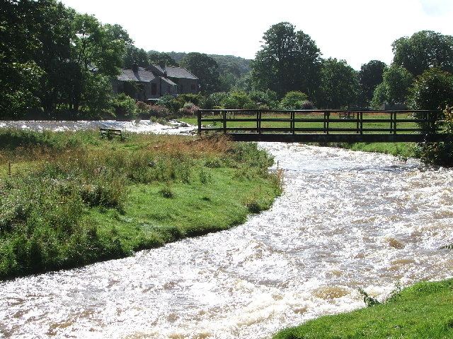
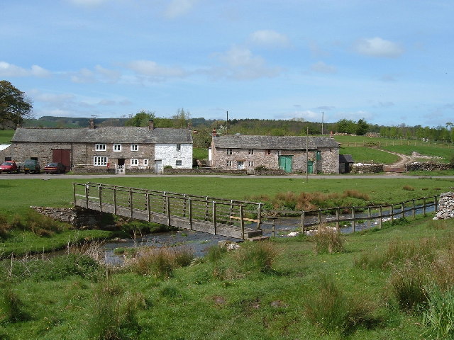
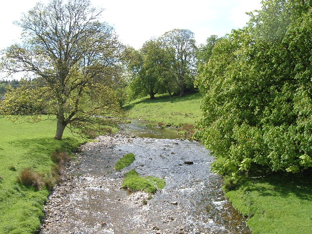
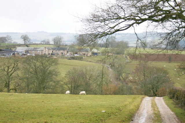
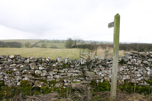
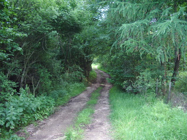
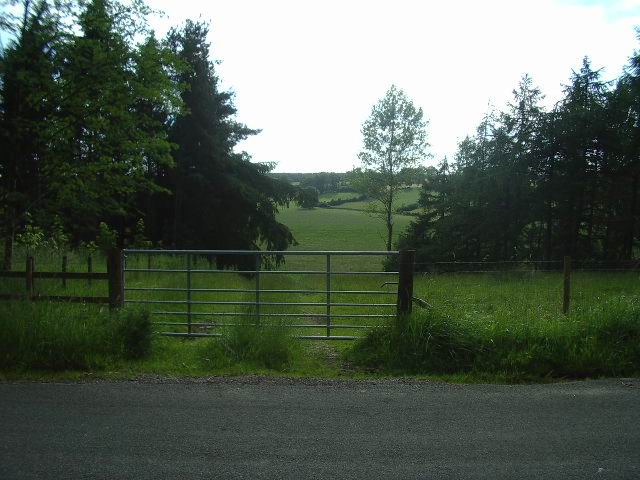
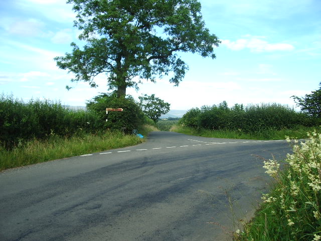
Meaburn Hall Images
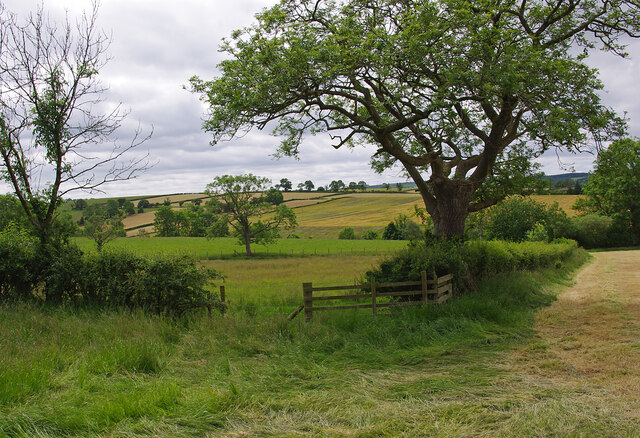
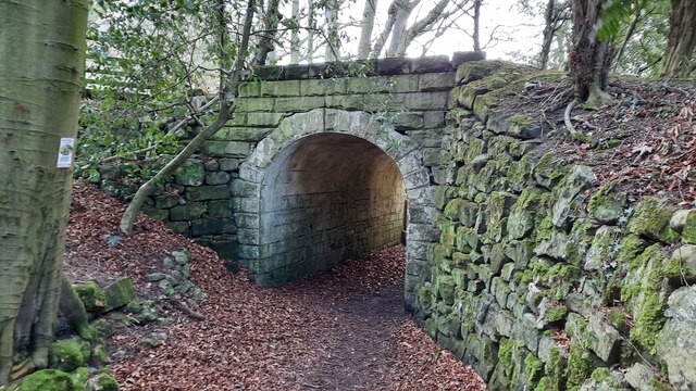
Images are sourced within 2km of 54.552/-2.58 or Grid Reference NY6217. Thanks to Geograph Open Source API. All images are credited.


Meaburn Hall is located at Grid Ref: NY6217 (Lat: 54.552, Lng: -2.58)
Administrative County: Cumbria
District: Eden
Police Authority: Cumbria
What 3 Words
///unheated.truly.crouching. Near Appleby-in-Westmorland, Cumbria
Nearby Locations
Related Wikis

Maulds Meaburn
Maulds Meaburn (English: ) is a village in Cumbria, England. It is located in the Lyvennet Valley and Yorkshire Dales National Park and is 13 miles from...

Flass
Flass, also called Flass House, is a large Grade II* listed house near the village of Maulds Meaburn, Cumbria, England. It was built in the 19th century...

Reagill
Reagill is a hamlet in the parish of Crosby Ravensworth, in the Eden district, in the English county of Cumbria, England. Its closest major settlements...

Littlebeck, Cumbria
Littlebeck is a hamlet in the Eden District in the English county of Cumbria, located near the small village of King's Meaburn, the hamlet of Lankaber...

St Lawrence's Church, Crosby Ravensworth
St Lawrence's Church is in the village of Crosby Ravensworth, Cumbria, England. It is an active Anglican parish church in the deanery of Appleby, the...

Crosby Ravensworth
Crosby Ravensworth is a village and civil parish in the Eden district of Cumbria, England. The village is about 4 miles (6.4 km) east of the M6 motorway...

Sleagill
Sleagill is a small village and civil parish in the Eden district of Cumbria, England. At the 2011 census Sleagill was grouped with Newby giving a total...

King's Meaburn
King's Meaburn (English: ) is a small village and civil parish in Cumbria, England. It is located 5 miles (8.0 km) from Appleby-in-Westmorland and 10 miles...
Nearby Amenities
Located within 500m of 54.552,-2.58Have you been to Meaburn Hall?
Leave your review of Meaburn Hall below (or comments, questions and feedback).