Manor House

Heritage Site in Wiltshire

England

Manor House

The Hungerford Arms
The Hungerford Arms Credit: Anthony Parkes

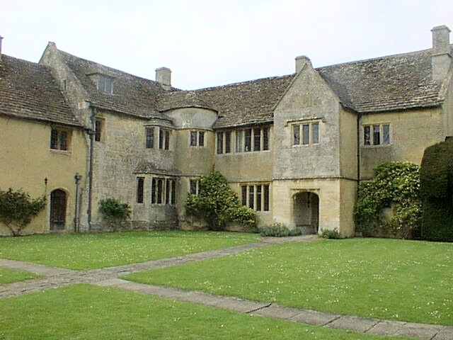
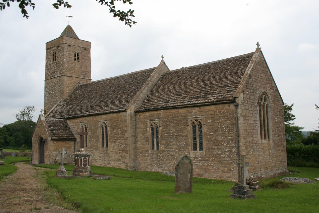
Manor House, located in the county of Wiltshire, England, is a historic and well-preserved heritage site that holds significant cultural and architectural value. It is situated in the village of Lacock, which is renowned for its picturesque charm and rich history. Manor House, dating back to the 13th century, stands as one of the oldest surviving domestic buildings in Lacock.

The house, built in the English Gothic style, is a prime example of medieval architecture. It features a timber-framed structure, stone walls, and a thatched roof, showcasing the architectural techniques of the time. Over the centuries, Manor House has been subject to several alterations and additions, reflecting the changing tastes and needs of its occupants.

Inside, visitors can explore the various rooms and experience the evolution of domestic life throughout history. The Great Hall, with its impressive timber ceiling and large fireplace, offers a glimpse into the grandeur of medieval dining and entertainment. The house also boasts a collection of antique furniture, artwork, and historical artifacts, providing an insight into the lifestyles of its former residents.

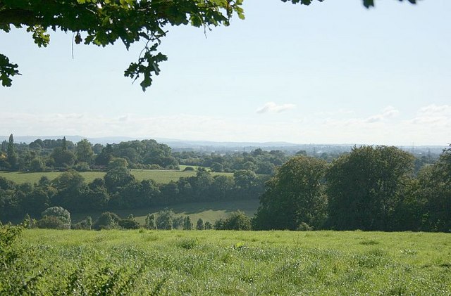
The surrounding gardens and grounds of Manor House are equally captivating. With its well-manicured lawns, flower beds, and charming pathways, the gardens offer a peaceful retreat for visitors. Additionally, the estate features a medieval tithe barn, a charming structure that once served as a storage facility for crops and livestock.

Manor House is not only a remarkable heritage site but also a popular filming location. Its historic charm has attracted several film and television productions, including the popular British period drama, Downton Abbey. Today, the house is managed by the National Trust and welcomes thousands of visitors each year, allowing them to step back in time and experience the fascinating history of Lacock and its surroundings.

If you have any feedback on the listing, please let us know in the comments section below.
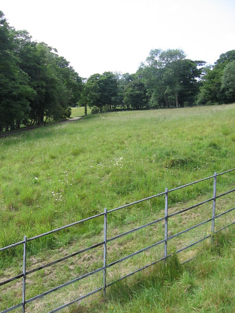
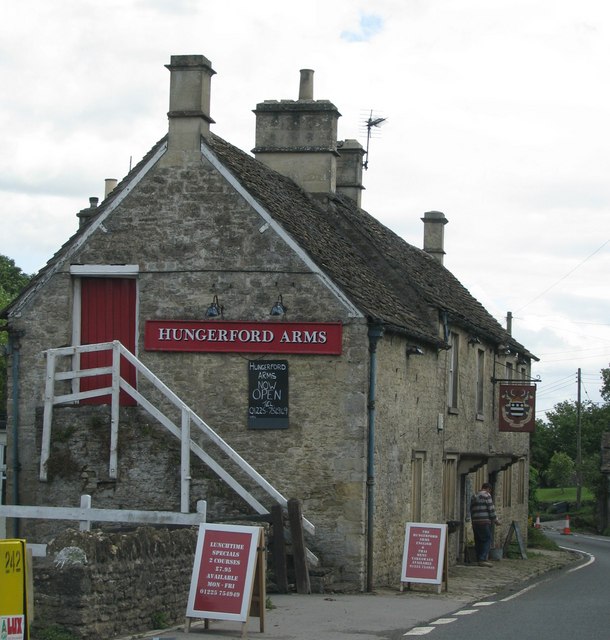
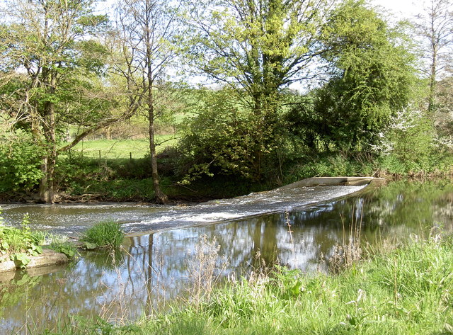
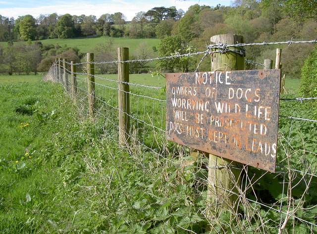
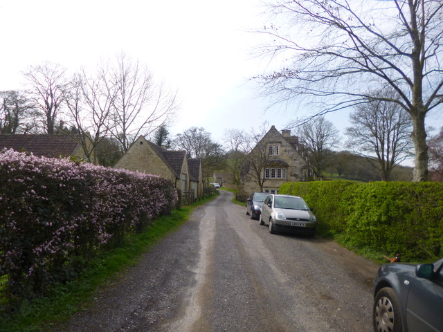
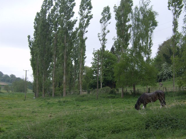
Manor House Images

Images are sourced within 2km of 51.325/-2.265 or Grid Reference ST8158. Thanks to Geograph Open Source API. All images are credited.

The Hungerford Arms
The Hungerford Arms
The end of the grounds at Iford Manor This fence, which lies just beyond the orchard, is as far as visitors can go.
The end of the grounds at Iford Manor
This fence, which lies just beyond the orchard, is as far as visitors can go.
The Hungerford Arms
The Hungerford Arms
Eye test or responsibility test? The warning sign on a footpath gate might grab the attention with the differing font size. At least someone has put a 'Macmillan Way' sticker on it as well to emphasise its status.
Eye test or responsibility test?
The warning sign on a footpath gate might grab the attention with the differing font size. At least someone has put a 'Macmillan Way' sticker on it as well to emphasise its status.
Green power The River Frome was altered over 100 years ago to provide means to run a mill. The weir is still there (see <a href="https://www.geograph.org.uk/photo/3459579">ST7958 : Frome weir</a>) but the mill has since gone; however, a new form of power is being used today. This unimposing station houses an Archimedes Screw turbine that can generate up to 44kW, and an annual output of 149MWh. It appears to be up and running again after suffering bearing failure recently.
Green power
The River Frome was altered over 100 years ago to provide means to run a mill. The weir is still there (see ST7958 : Frome weir) but the mill has since gone; however, a new form of power is being used today. This unimposing station houses an Archimedes Screw turbine that can generate up to 44kW, and an annual output of 149MWh. It appears to be up and running again after suffering bearing failure recently.
Frome weir The man-made weir remains after over a century.
Frome weir
The man-made weir remains after over a century.
Warning shot A home-made but important notice to users of the footpath through Friary Wood and on to Sharpstone.
Warning shot
A home-made but important notice to users of the footpath through Friary Wood and on to Sharpstone.
Iford hamlet A handful of cottages and houses overlooking <a href="https://www.geograph.org.uk/photo/3907834">ST8058 : Iford Manor</a>.
Iford hamlet
A handful of cottages and houses overlooking ST8058 : Iford Manor.
Macmillan Way A view looking northeast along the lane to Iford Manor at the point where it is joined (from the right) by the Macmillan Way footpath. The route then follows the road past Iford Mill, seen in the distance, and over the River Frome at Iford Manor.
Macmillan Way
A view looking northeast along the lane to Iford Manor at the point where it is joined (from the right) by the Macmillan Way footpath. The route then follows the road past Iford Mill, seen in the distance, and over the River Frome at Iford Manor.
Iford Mill A view looking to the southwest, along the lane from Iford Manor. Iford Mill is on the right.
Iford Mill
A view looking to the southwest, along the lane from Iford Manor. Iford Mill is on the right.
Past Dog Kennel Farm Rough grazing land below Dog Kennel Farm running parallel with the River Frome.  These poplars make quite a sight, and quite a noise, but the horse seems content.
Past Dog Kennel Farm
Rough grazing land below Dog Kennel Farm running parallel with the River Frome. These poplars make quite a sight, and quite a noise, but the horse seems content.
River Frome watermeadows Looking north, the Macmillan Way runs across this meadow, with the River Frome to the right by the line of trees.
River Frome watermeadows
Looking north, the Macmillan Way runs across this meadow, with the River Frome to the right by the line of trees.
View from the Hill Above Iford Taken from a gateway on the side road between Iford and the A36.  Iford is hidden in the valley below.
Beacon Hill, north of Devizes, is on the skyline on the left, beyond that we are looking along the Vale of Pewsey toward Milk Hill, nearer the centre.
View from the Hill Above Iford
Taken from a gateway on the side road between Iford and the A36. Iford is hidden in the valley below. Beacon Hill, north of Devizes, is on the skyline on the left, beyond that we are looking along the Vale of Pewsey toward Milk Hill, nearer the centre.
2007 : The Hungerford Arms West along the A366, at the top of the hill about 150 yards beyond Farleigh Castle. The turning for Tellisford and Rode can be seen to the right.
2007 : The Hungerford Arms
West along the A366, at the top of the hill about 150 yards beyond Farleigh Castle. The turning for Tellisford and Rode can be seen to the right.
St Leonard's Church, Farleigh Hungerford
Farleigh Hungerford Castle
Loves Lane
Loves Lane
Stowford Farm
Stowford Farm
Show me another place!

Manor House is located at Grid Ref: ST8158 (Lat: 51.325, Lng: -2.265)

What 3 Words

///wash.test.hails. Near Wingfield, Wiltshire

Nearby Locations

Manor House Westwood Manor

Related Wikis

Midway Manor

Midway Manor is a country house and farm in Wingfield parish, about 1+1⁄2 miles (2.4 km) south of Bradford on Avon in Wiltshire, England. The house is...

Westwood Manor

Westwood Manor is a 15th-century manor house with 16th-century additions and 17th-century plaster-work in the village of Westwood, near Bradford-on-Avon...

Westwood, Wiltshire

Westwood is a large village and a civil parish in west Wiltshire, England. The village is about 1.4 miles (2.3 km) southwest of the town of Bradford-on...

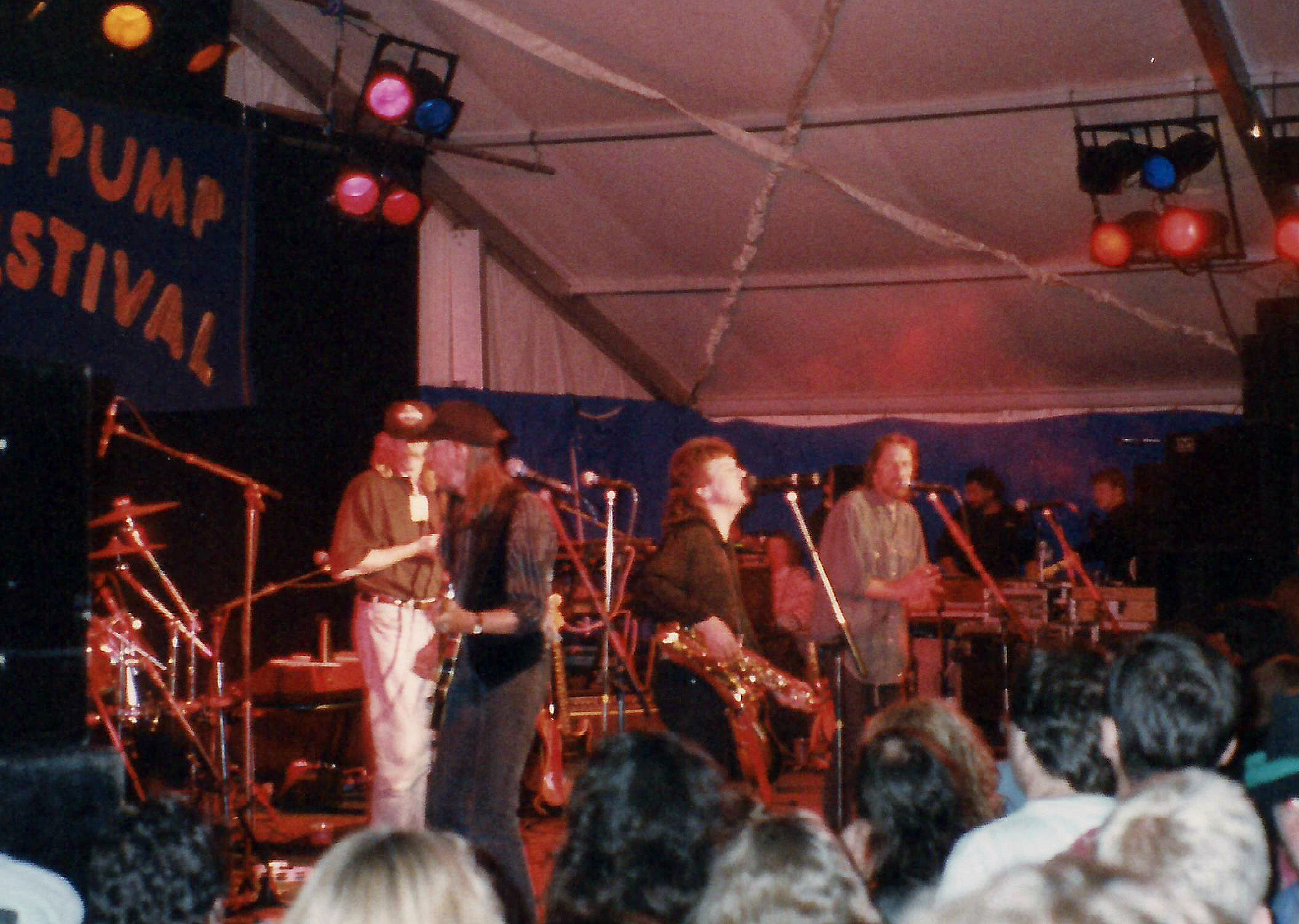
Trowbridge Village Pump Festival

The Village Pump Festival is a folk music festival that takes place near Trowbridge, England. It has its roots 53 years ago in a barn at the Lamb Inn...

Iford Manor

Iford Manor (grid reference ST802589) is a manor house in Wiltshire, England. It is a Grade II* listed building sitting on the steep, south-facing slope...

Farleigh Hungerford Castle

Farleigh Hungerford Castle, sometimes called Farleigh Castle or Farley Castle, is a medieval castle in Farleigh Hungerford, Somerset, England. The castle...

Farleigh Hungerford

Farleigh Hungerford (grid reference ST800576) is a village and former civil parish, now in the parish of Norton St Philip, in the Somerset district, in...

Farleigh House

Farleigh House, or Farleigh Castle, sometimes called Farleigh New Castle, is a large English country house in the county of Somerset, formerly the centre...

Nearby Amenities

Located within 500m of 51.325,-2.265
Barrier: entrance
Lat/Long: 51.3271102/-2.2696243
Barrier: stile
Lat/Long: 51.3237931/-2.2686717
Barrier: entrance
Lat/Long: 51.3218655/-2.2696051
Barrier: stile
Lat/Long: 51.3219347/-2.2686651
Power: tower
Lat/Long: 51.326765/-2.2666025
Barrier: stile
Lat/Long: 51.3246674/-2.2581029
Barrier: stile
Lat/Long: 51.3246959/-2.2581418
Barrier: stile
Lat/Long: 51.3221073/-2.2626257
Barrier: stile
Lat/Long: 51.3207403/-2.2662802
Barrier: stile
Lat/Long: 51.3212071/-2.2665605
Power: tower
Source Ref: bing
Lat/Long: 51.3254462/-2.2702326
Material: wood
Operator: Scottish and Southern Electricity Networks
Operator Wikidata: Q43080530
Power: pole
Lat/Long: 51.323941/-2.2590208
The data included in this document is from www.openstreetmap.org. The data is made available under ODbL.

Have you been to Manor House?

Leave your review of Manor House below (or comments, questions and feedback).