Mandvessedvm

Heritage Site in Warwickshire North Warwickshire

England

Mandvessedvm

Duckweed, Coventry Canal, 1975 The conifers on the right conceal the local sewage works. Distant are the two bridges before and after the Hartshill canal maintenance depot.
Duckweed, Coventry Canal, 1975 Credit: Robin Webster

Mandvessedvm, located in Warwickshire, England, is a significant heritage site that holds immense historical and cultural value. The site is believed to have been inhabited since the Iron Age, with evidence of human activity dating back over 2,000 years.

The main feature of Mandvessedvm is its impressive Roman fort, which was built in the 1st century AD as part of the Roman conquest of Britain. The fort served as a strategic military outpost, guarding the nearby Fosse Way, an important Roman road. Today, the remnants of the fort's walls and defensive ditches can still be seen, giving visitors a glimpse into the Roman military architecture of the time.

In addition to the fort, Mandvessedvm boasts a wealth of archaeological discoveries. Excavations have revealed numerous artifacts, including pottery, coins, and jewelry, providing valuable insights into the daily lives of the Roman occupants. These artifacts are now housed in local museums, further enriching the historical significance of the site.

The surrounding landscape of Mandvessedvm is equally captivating. The fort is situated on a hill, offering panoramic views of the Warwickshire countryside. The area is known for its picturesque beauty, with rolling green hills and charming villages nearby.

Mandvessedvm is a popular destination for history enthusiasts, archaeologists, and tourists alike. Its historical importance, combined with its stunning natural surroundings, make it a must-visit heritage site in Warwickshire.

If you have any feedback on the listing, please let us know in the comments section below.
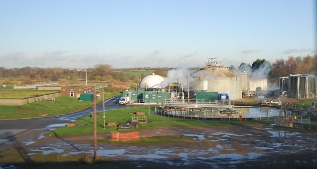
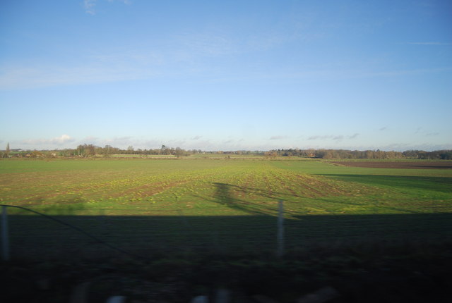
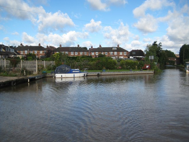
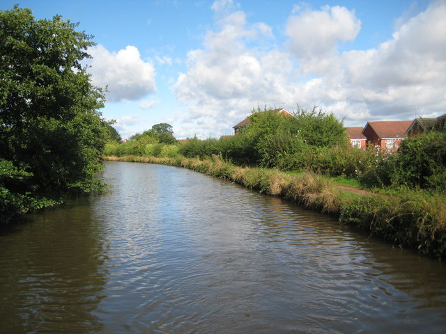
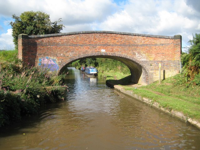
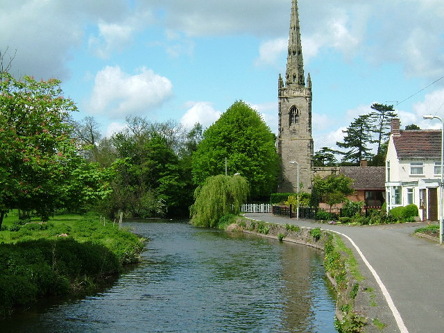
Mandvessedvm Images

Images are sourced within 2km of 52.565/-1.52 or Grid Reference SP3296. Thanks to Geograph Open Source API. All images are credited.

Duckweed, Coventry Canal, 1975 The conifers on the right conceal the local sewage works. Distant are the two bridges before and after the Hartshill canal maintenance depot.
Duckweed, Coventry Canal, 1975
The conifers on the right conceal the local sewage works. Distant are the two bridges before and after the Hartshill canal maintenance depot.
Farmland by Mancetter Crossing
Houses by the B4111 near Mancetter
Farmland near Dobbies World
Hartshill Sewage Treatment Works
Farmland near Caldecote
Coventry Canal: Taverners Bridge Winding Hole The eponymous bridge is just visible along the canal to the right. The houses behind are in the delightfully named Bachelor's Bench road.
Coventry Canal: Taverners Bridge Winding Hole
The eponymous bridge is just visible along the canal to the right. The houses behind are in the delightfully named Bachelor's Bench road.
Coventry Canal: Reach near Rawn Hill The canal just clips across the south-western corner of this grid square as it approaches, (or leaves depending on which way one is travelling!), Rawn Hill.
Coventry Canal: Reach near Rawn Hill
The canal just clips across the south-western corner of this grid square as it approaches, (or leaves depending on which way one is travelling!), Rawn Hill.
Coventry Canal: Reach near Rawn Hill The canal winds its way around the contours of Rawn Hill, to the left, here.
Coventry Canal: Reach near Rawn Hill
The canal winds its way around the contours of Rawn Hill, to the left, here.
Coventry Canal: Reach near Purley Park, Mancetter Purley Park is off to the south-west and left along this reach.
Coventry Canal: Reach near Purley Park, Mancetter
Purley Park is off to the south-west and left along this reach.
Coventry Canal: Overflow structure in Mancetter This overflow structure allows excess water in the canal to drain out via a brook past Bardon Manor Farm to the River Anker.
Coventry Canal: Overflow structure in Mancetter
This overflow structure allows excess water in the canal to drain out via a brook past Bardon Manor Farm to the River Anker.
Coventry Canal: Bridge Number 35: Stoneleigh Quarry Bridge The number plates on the bridges on the Coventry Canal are generally well-looked after. This one however appears to have escaped the attention of the maintenance team as it is entirely rusty and almost indistinguishable at a distance from the brickwork. The bridge takes Quarry Lane over the canal.
Coventry Canal: Bridge Number 35: Stoneleigh Quarry Bridge
The number plates on the bridges on the Coventry Canal are generally well-looked after. This one however appears to have escaped the attention of the maintenance team as it is entirely rusty and almost indistinguishable at a distance from the brickwork. The bridge takes Quarry Lane over the canal.
Coventry Canal: Bridge Number 34 A busy scene at an isolated bridge on the canal as a narrowboat and a BWB/CRT towpath grass mowing machine both try to go through the narrow bridge arch at the same time. The tillerman appears either completely nonchalant or contemplating the costs of a collision!

The high ground to the left was once the site of Stoneleigh Quarry.
Coventry Canal: Bridge Number 34
A busy scene at an isolated bridge on the canal as a narrowboat and a BWB/CRT towpath grass mowing machine both try to go through the narrow bridge arch at the same time. The tillerman appears either completely nonchalant or contemplating the costs of a collision! The high ground to the left was once the site of Stoneleigh Quarry.
Coventry Canal: Hartshill winding hole A winding hole enables full length narrowboats to make a 180 degree turn.
Coventry Canal: Hartshill winding hole
A winding hole enables full length narrowboats to make a 180 degree turn.
Coventry Canal: Bridge Number 33: Stoneleigh Glebe Farm Bridge Although this bridge has never been anything other than a farmers' bridge enabling access across the canal between fields it still merits Grade II Listed structure status. The fine semi-elliptical arch and the outwardly curving parapet with its blue brick saddleback coping distinguish it from some other original bridges along the canal. It was probably designed by James Brindley and built circa 1770. Very regrettably, even though it is in the middle of nowhere, some pondlife has crawled out of the canal and thought it a good idea to daub it with some paint.
Coventry Canal: Bridge Number 33: Stoneleigh Glebe Farm Bridge
Although this bridge has never been anything other than a farmers' bridge enabling access across the canal between fields it still merits Grade II Listed structure status. The fine semi-elliptical arch and the outwardly curving parapet with its blue brick saddleback coping distinguish it from some other original bridges along the canal. It was probably designed by James Brindley and built circa 1770. Very regrettably, even though it is in the middle of nowhere, some pondlife has crawled out of the canal and thought it a good idea to daub it with some paint.
Coventry Canal: Reach at Hartshill This is the view looking from the Atherstone Road bridge.
Coventry Canal: Reach at Hartshill
This is the view looking from the Atherstone Road bridge.
Coventry Canal: Bridge Number 32: Atherstone Road Bridge Traffic lights control a one-way system for vehicles crossing the bridge.
Coventry Canal: Bridge Number 32: Atherstone Road Bridge
Traffic lights control a one-way system for vehicles crossing the bridge.
Show me another place!

Mandvessedvm is located at Grid Ref: SP3296 (Lat: 52.565, Lng: -1.52)

Administrative County: Warwickshire

District: North Warwickshire

Police Authority: Warwickshire

What 3 Words

///really.ambushed.fund. Near Hartshill, Warwickshire

Nearby Locations

Mandvessedvm Mill Stream

Related Wikis

Manduessedum

Manduessedum or Manduesedum was a Roman fort and later a civilian small town in the Roman Province of Britannia. It was located on and immediately to the...

Mancetter

Mancetter is a village and civil parish in North Warwickshire, England at the crossing of Watling Street over the River Anker. The population had reduced...

Witherley

Witherley is a village and civil parish in the Hinckley and Bosworth district of Leicestershire, England. The civil parish of Witherley includes Atterton...

The Queen Elizabeth Academy

The Queen Elizabeth Academy (formerly Queen Elizabeth School) is a mixed secondary school with academy status. It is located on Witherley Road, Atherstone...

Atherstone Priory

Atherstone Priory was a priory in Atherstone, Warwickshire, England. The first monastic site in Atherstone was an Augustinian friary founded in the centre...

Atherstone rail accident

The Atherstone rail accident happened near Atherstone railway station in the small hours of the morning of 16 November 1860, and killed 10 people. A special...

Atherstone Rural District

Atherstone Rural District was located in the administrative county of Warwickshire, England, from 1894 to 1974. It was named after its main town and administrative...

North Warwickshire

North Warwickshire is a local government district with borough status in the ceremonial county of Warwickshire, West Midlands, England. The borough includes...

Nearby Amenities

Located within 500m of 52.565,-1.52
Bus Stop
Kennel Lane
Bus: yes
Naptan AtcoCode: 4200F172101
Naptan Bearing: NW
Naptan CommonName: Kennel Lane
Naptan Crossing: Kennel Lane
Naptan Indicator: Nr
Naptan NaptanCode: waradgda
Naptan Street: Witherley Road
Naptan Verified: no
Public Transport: platform
Source: naptan_import
Lat/Long: 52.5686674/-1.5176987
Bus Stop
Mill Lane
Bus: yes
Naptan AtcoCode: 4200F178101
Naptan Bearing: N
Naptan CommonName: Mill Lane
Naptan Indicator: Nr
Naptan NaptanCode: waratmjm
Naptan Street: Nuneaton Road
Naptan Verified: no
Public Transport: platform
Source: naptan_import
Lat/Long: 52.5650873/-1.526103
Bus Stop
Quarry Lane
Bus: yes
Naptan AtcoCode: 4200F178102
Naptan Bearing: N
Naptan CommonName: Quarry Lane
Naptan Indicator: Nr
Naptan NaptanCode: waratmjp
Naptan Street: Nuneaton Road
Naptan Verified: no
Public Transport: platform
Source: naptan_import
Lat/Long: 52.5650432/-1.5262953
Roman Mancetter
Information: board
Tourism: information
Lat/Long: 52.5665029/-1.5269186
Roman Mancetter
Information: board
Tourism: information
Lat/Long: 52.5667902/-1.5247644
Barrier: kissing_gate
Source: survey
Lat/Long: 52.5667063/-1.5257474
Barrier: kissing_gate
Source: survey
Lat/Long: 52.5667699/-1.5249844
Barrier: kissing_gate
Source: survey
Lat/Long: 52.5669492/-1.5250038
Roman Fort Plaque
Historic: memorial
Operator: Atherstone Archaeological Society
Source: survey
Lat/Long: 52.5664554/-1.5268987
Man Made: street_cabinet
Ref: Feeder Pillar A5 25
Source: survey
Lat/Long: 52.5692401/-1.5198489
Generator Method: photovoltaic
Generator Output Electricity: yes
Generator Source: solar
Generator Type: solar_photovoltaic_panel
Power: generator
Lat/Long: 52.5630211/-1.5236959
Addr Housename: Bella Vista
Addr Street: Nuneaton Road
Lat/Long: 52.5645569/-1.5254372
The data included in this document is from www.openstreetmap.org. The data is made available under ODbL.

Have you been to Mandvessedvm?

Leave your review of Mandvessedvm below (or comments, questions and feedback).