Belgrave
Settlement in Warwickshire Tamworth
England
Belgrave

Belgrave is a small village located in the county of Warwickshire, England. Situated approximately 5 miles east of the market town of Tamworth, Belgrave is known for its picturesque countryside and tranquil atmosphere.
The village is surrounded by rolling hills and lush green fields, making it an ideal destination for nature lovers and those seeking a peaceful retreat. The River Anker flows through Belgrave, adding to the charm of the area.
Belgrave is home to a tight-knit community, with a population of around 500 residents. The village has a primary school, providing education for local children, and a small but well-stocked village shop for daily needs.
Historically, Belgrave was an agricultural community, and remnants of its past can still be seen in the form of traditional farmhouses and barns. The village features a beautiful 12th-century church, St. Peter's, which is a prominent landmark and holds regular services.
Although Belgrave is a relatively quiet village, it benefits from its proximity to larger towns like Tamworth and Nuneaton. This allows residents to easily access a wider range of amenities, such as shopping centers, recreational facilities, and healthcare services.
Overall, Belgrave offers a peaceful and idyllic lifestyle, with its natural beauty and strong sense of community. Whether it's exploring the countryside, attending local events, or simply enjoying the tranquility, Belgrave provides a perfect escape from the hustle and bustle of urban life.
If you have any feedback on the listing, please let us know in the comments section below.
Belgrave Images
Images are sourced within 2km of 52.616381/-1.675763 or Grid Reference SK2202. Thanks to Geograph Open Source API. All images are credited.


Belgrave is located at Grid Ref: SK2202 (Lat: 52.616381, Lng: -1.675763)
Administrative County: Staffordshire
District: Tamworth
Police Authority: Staffordshire
What 3 Words
///oils.scam.moral. Near Fazeley, Staffordshire
Nearby Locations
Related Wikis

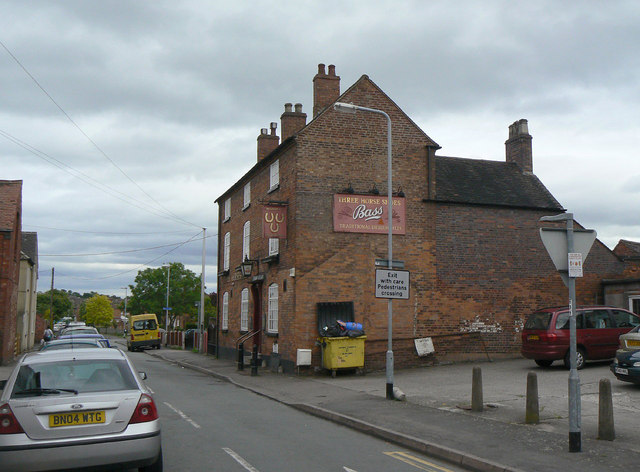
Belgrave, Tamworth
Belgrave is an area of Tamworth, Staffordshire, roughly 1+1⁄2 miles (2.4 km) from the town centre. The main feature of Belgrave is Marlborough way which...
Tamworth Enterprise College
Tamworth Enterprise College (formerly Belgrave High School) is a coeducational secondary school with academy status in Tamworth, Staffordshire, England...
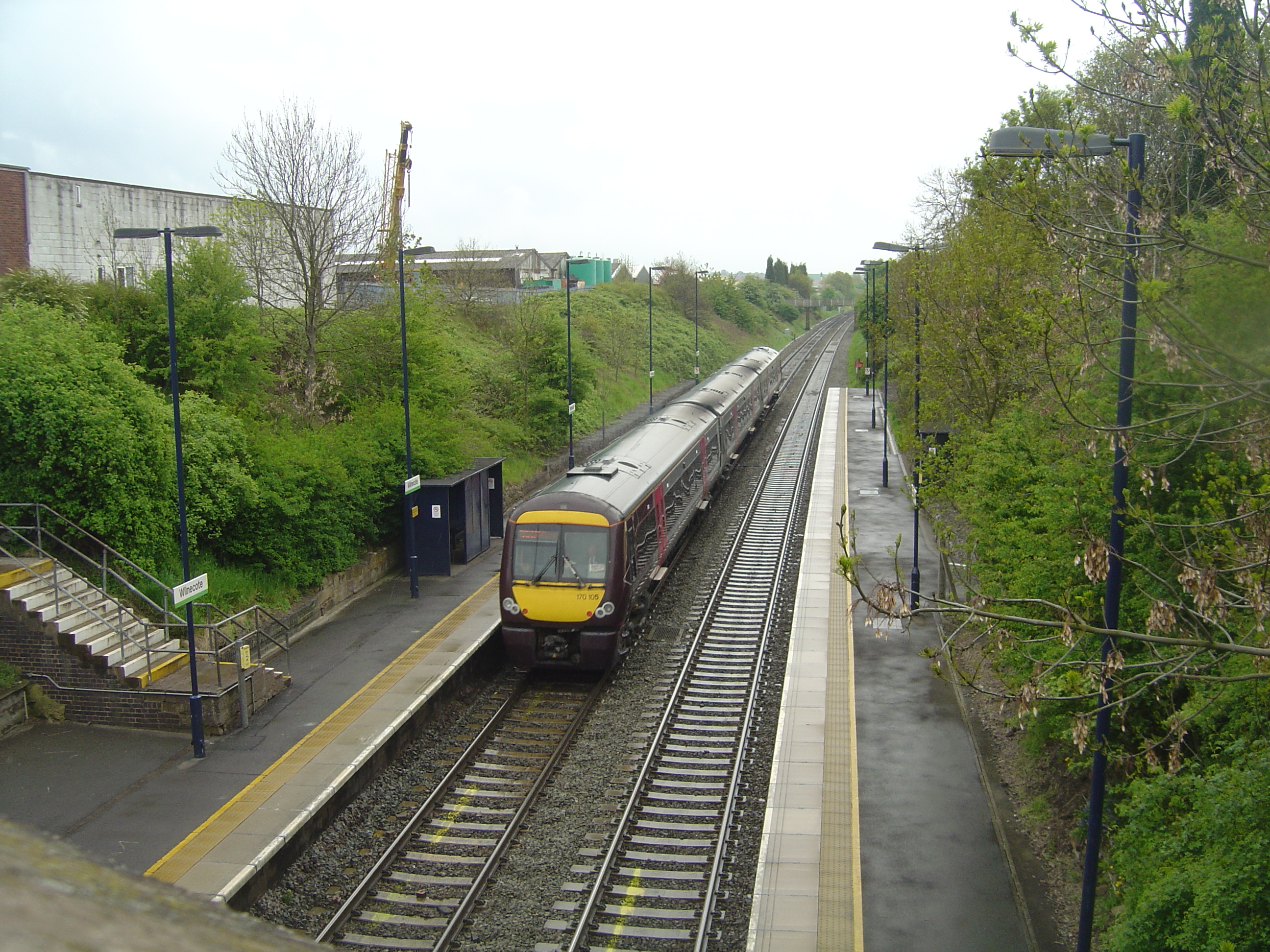
Wilnecote railway station
Wilnecote railway station is a small unmanned station serving Wilnecote 1.5 miles (2 km) south of Tamworth town centre in Staffordshire, England. The station...
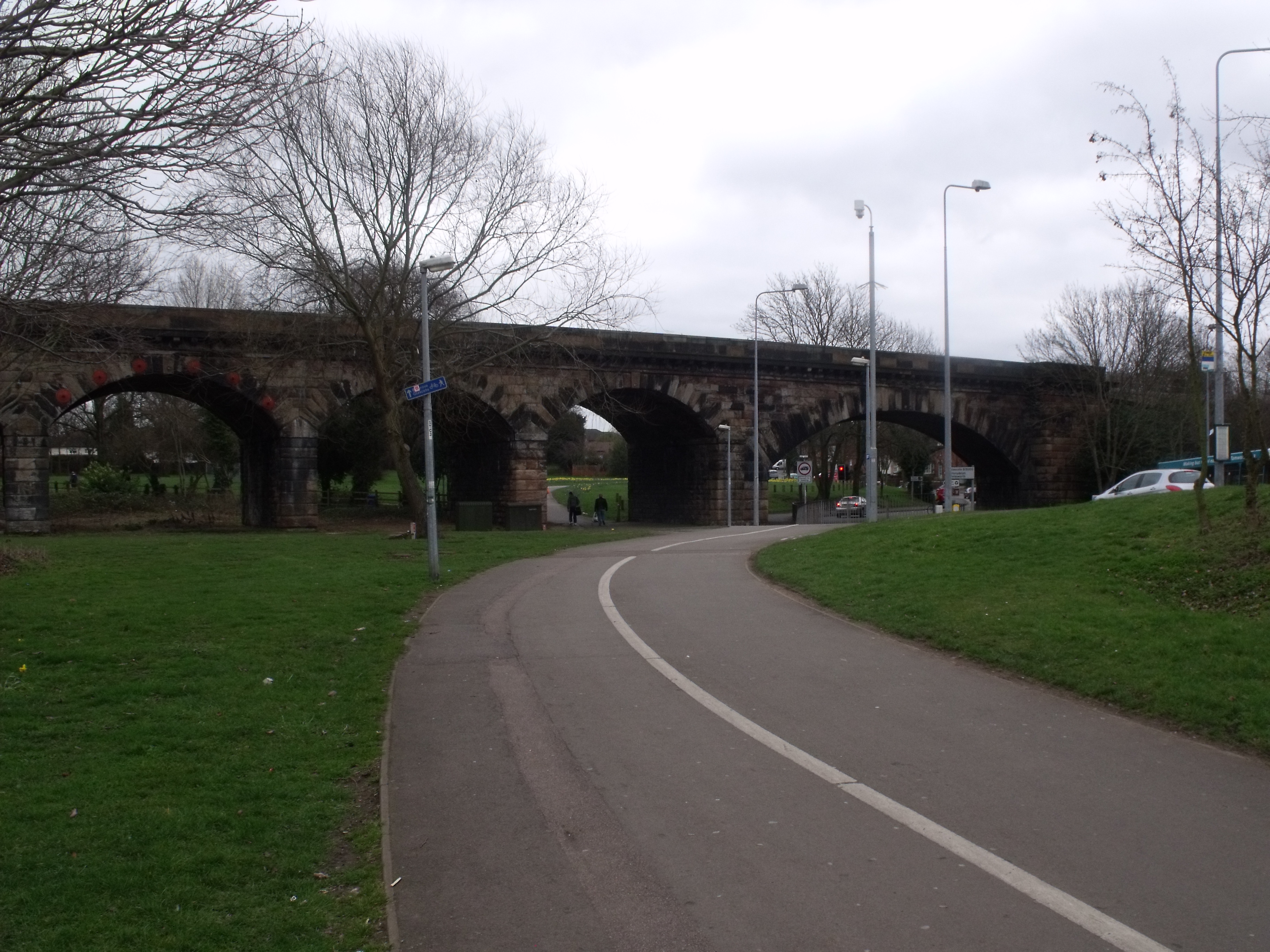
Bolehall
Bolehall is a village in Staffordshire, England, part of the Tamworth Conurbation. The village sits on the south bank of the River Anker. The parish of...

Glascote
Glascote is an area of Tamworth, in the Tamworth district, in Staffordshire, England. The area centres on the Glascote Road, and is mainly residential...

Wilnecote
Wilnecote (pronounced Wilncutt) is a suburban area about two miles (3.2 km) south-east of Tamworth, in the Tamworth district, in the county of Staffordshire...
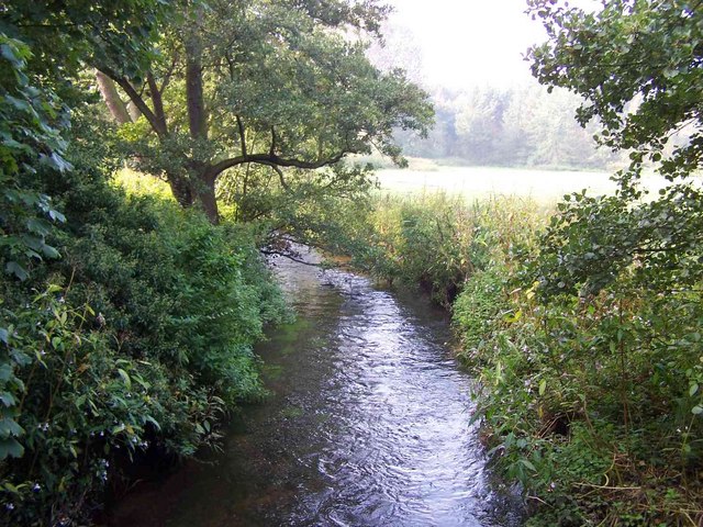
Bourne Brook
The Bourne Brook or Black Brook, as it is known in its upper reaches, is a tributary of the River Tame in Staffordshire, England. == Course == From its...
The Wilnecote School
The Wilnecote School (formerly Wilnecote High School) is a co-educational secondary school located in Wilnecote (near Tamworth) in the English county of...
Related Videos
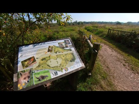
Peaceful Walk through Tameside Nature Reserve, UK Walking Tour, English Countryside in 4K.
Peaceful Walk through Tameside Nature Reserve, UK Walking Tour, English Countryside in 4K. A quiet and peaceful walk ...

Walking Tamworth in Staffordshire
Time to head up the A5 Watling Street and have a look at Tamworth Sam one of our subscribers invited me up to have a walk ...
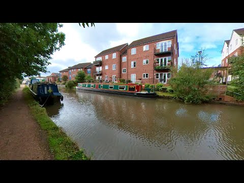
Peaceful Canal Walk to Fazeley Junction. English Countryside 4K. UK Walking Tour.
Peaceful Canal Walk to Fazeley Junction. English Countryside 4K. UK Walking Tour. Walk along the Birmingham & Fazeley Canal ...
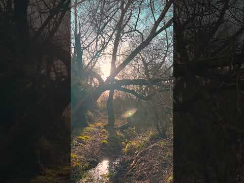
Tamworth England - A Relaxing Walk Through Nature in a Town in United Kingdeom TMV
Tamworth Walk. Town in England. Miles across the English Countryside. Beautiful Countryside United Kingdom. Amazing Places ...
Nearby Amenities
Located within 500m of 52.616381,-1.675763Have you been to Belgrave?
Leave your review of Belgrave below (or comments, questions and feedback).