Lord's Barrow

Heritage Site in Dorset

England

Lord's Barrow

Five Marys tumuli
Five Marys tumuli Credit: Becky Williamson

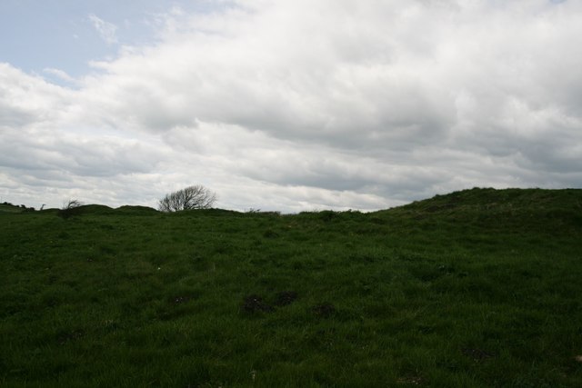
Lord's Barrow is an ancient heritage site located in the county of Dorset, England. Situated on the outskirts of the village of Winterbourne Abbas, this historic monument is an impressive example of a Neolithic burial mound.

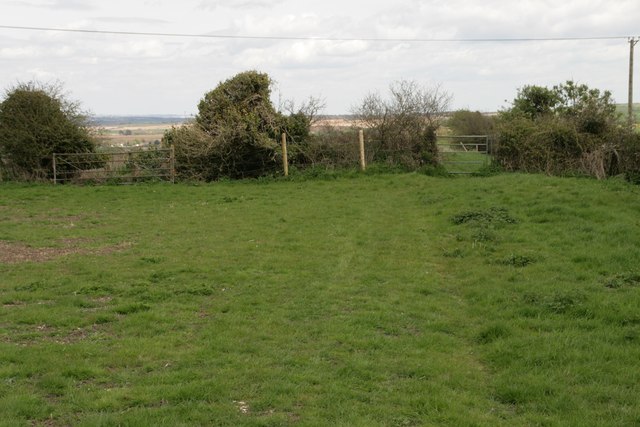
Believed to have been constructed around 4,000 years ago, Lord's Barrow stands at a height of approximately 3 meters and has a diameter of around 40 meters. The mound is made up of earth and stones, which were carefully placed to create a circular structure. The original purpose of the barrow was to serve as a burial site, housing the remains of individuals from the local community.

Today, Lord's Barrow remains remarkably well-preserved, despite its age. It is a designated Scheduled Ancient Monument, protected by law to ensure its conservation for future generations. Visitors can explore the barrow and marvel at its ancient construction, gaining insight into the burial practices and rituals of the Neolithic era.

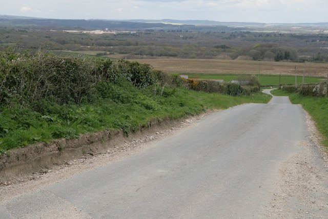
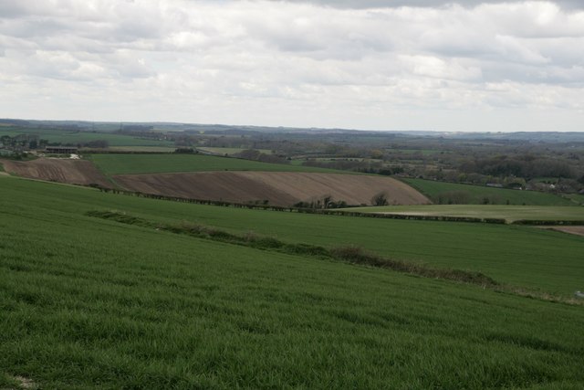
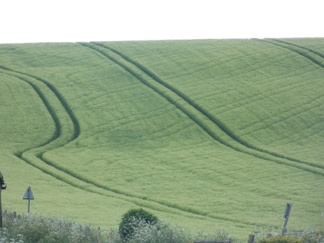
The site offers a tranquil and picturesque setting, surrounded by rolling Dorset countryside. It provides a unique opportunity to connect with the region's ancient past and offers visitors a chance to reflect on the lives and traditions of those who once inhabited this area.

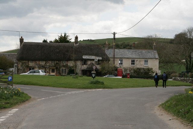
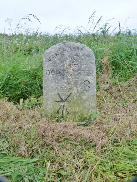
Lord's Barrow is easily accessible, with nearby parking facilities and a footpath leading directly to the site. Guided tours and information boards are available to enhance the visitor experience, providing historical context and archaeological insights into this remarkable heritage site. Lord's Barrow stands as a testament to the rich cultural heritage of Dorset and is a must-visit for history enthusiasts and those seeking a deeper understanding of the area's ancient past.

If you have any feedback on the listing, please let us know in the comments section below.

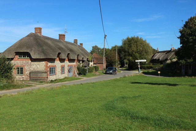
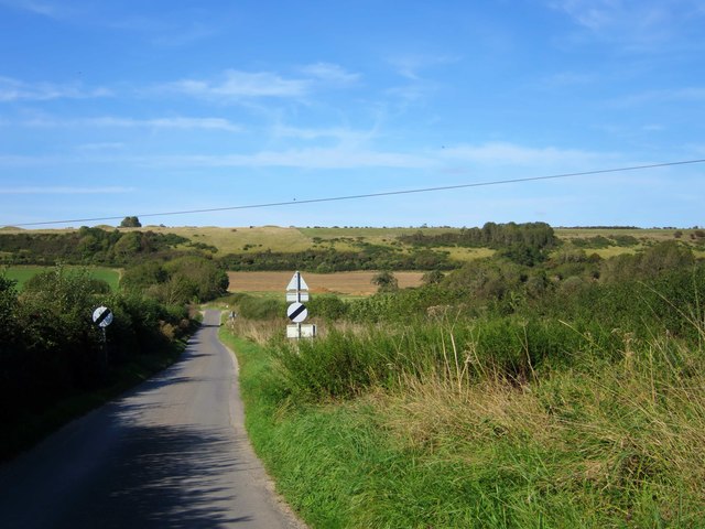
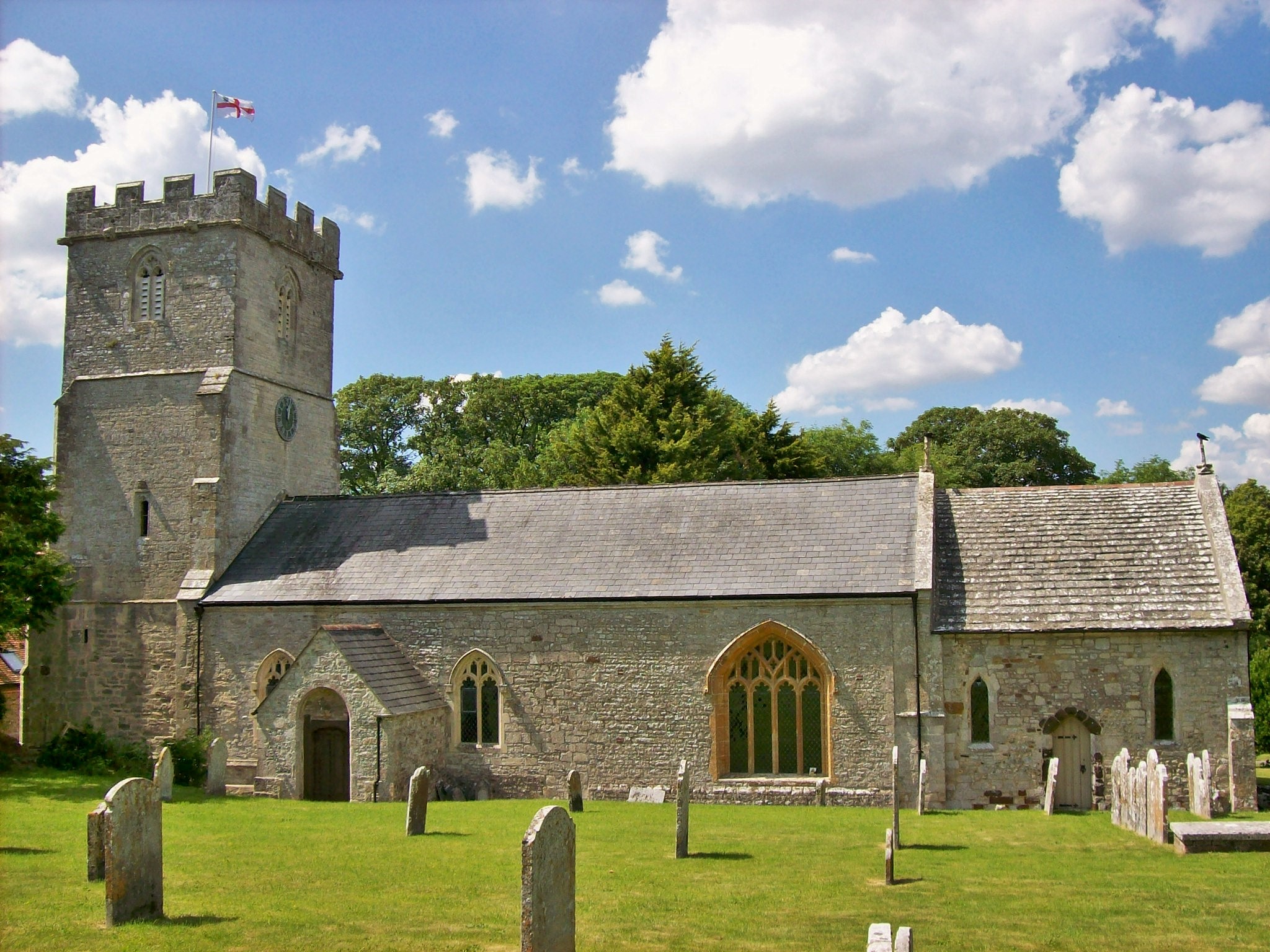
Lord's Barrow Images

Images are sourced within 2km of 50.658/-2.318 or Grid Reference SY7784. Thanks to Geograph Open Source API. All images are credited.

Five Marys tumuli
Five Marys tumuli
Chaldon Herring Village Centre
Road north of Holworth Owermoigne Down barn roof can just be seen to the left of the road.
Road north of Holworth
Owermoigne Down barn roof can just be seen to the left of the road.
Painted sign at North Holworth Farm
Ridgeway path west of the Five Marys
Vicarage Farm, Chaldon Herring There is an Ordnance Survey benchmark on this building. See <a href="https://www.geograph.org.uk/photo/4923880">SY7983 : Benchmark on Vicarage Farm, Chaldon Herring</a>.
Vicarage Farm, Chaldon Herring
There is an Ordnance Survey benchmark on this building. See SY7983 : Benchmark on Vicarage Farm, Chaldon Herring.
Benchmark on Vicarage Farm, Chaldon Herring Ordnance Survey benchmark, described on database at <span class="nowrap"><a title="http://www.bench-marks.org.uk/bm75118" rel="nofollow ugc noopener" href="http://www.bench-marks.org.uk/bm75118">Link</a><img style="margin-left:2px;" alt="External link" title="External link - shift click to open in new window" src="https://s1.geograph.org.uk/img/external.png" width="10" height="10"/></span>. See also <a href="https://www.geograph.org.uk/photo/4923878">SY7983 : Vicarage Farm, Chaldon Herring</a>.
Benchmark on Vicarage Farm, Chaldon Herring
Ordnance Survey benchmark, described on database at LinkExternal link. See also SY7983 : Vicarage Farm, Chaldon Herring.
Cottages and letterbox at Holworth
Lord's Barrow near Owermoigne Bronze age burial ground.
Lord's Barrow near Owermoigne
Bronze age burial ground.
West Chaldon: postbox bristles Detail of the posting slot on <a href="https://www.geograph.org.uk/photo/1415411">SY7782 : West Chaldon: postbox № DT2 11</a>.

Bristles have been attached to prevent snails from getting inside. Apparently they do not like the bristles tickling their undersides. The practice originated in November 2000 in the West Country, where the problem was particularly prevalent - especially with boxes set into walls with ivy or similar vegetation growing up around them.

As you can see, a couple of snails are in the immediate vicinity of the slot.
West Chaldon: postbox bristles
Detail of the posting slot on SY7782 : West Chaldon: postbox № DT2 11. Bristles have been attached to prevent snails from getting inside. Apparently they do not like the bristles tickling their undersides. The practice originated in November 2000 in the West Country, where the problem was particularly prevalent - especially with boxes set into walls with ivy or similar vegetation growing up around them. As you can see, a couple of snails are in the immediate vicinity of the slot.
Owermogne: tractor tracks in a green field Tractor tyre tracks pick out the contours of the ridge between Owermoigne and West Chaldon - the kink on the left is thanks to the field edge skirting round a disused pit.

The road signs facing the other way are a warning of cattle crossing (the building alongside us is marked on the map as a dairy) and, the nearer one, denoting a passing place.
Owermogne: tractor tracks in a green field
Tractor tyre tracks pick out the contours of the ridge between Owermoigne and West Chaldon - the kink on the left is thanks to the field edge skirting round a disused pit. The road signs facing the other way are a warning of cattle crossing (the building alongside us is marked on the map as a dairy) and, the nearer one, denoting a passing place.
Old Milestone by the A352, Chaldon Herring Carved stone post by the A352, in parish of Chaldon Herring (Purbeck District), 60m East of turning to Tadnoll, 4m back from road on rough grass verge, on North side of road. Dorset 3 (limestone), erected by the Dorchester & Wool Turnpike Trust in the 19th century. 

Inscription reads:-
WAREHAM
9
DORCHESTER
8 
Cancelled benchmark on bottom left of front face.

Grade II listed. List Entry Number: 1120520
<span class="nowrap"><a title="https://historicengland.org.uk/listing/the-list/list-entry/1120520" rel="nofollow ugc noopener" href="https://historicengland.org.uk/listing/the-list/list-entry/1120520">Link</a><img style="margin-left:2px;" alt="External link" title="External link - shift click to open in new window" src="https://s1.geograph.org.uk/img/external.png" width="10" height="10"/></span>

Milestone Society National ID: DO_DOWA08.
Old Milestone by the A352, Chaldon Herring
Carved stone post by the A352, in parish of Chaldon Herring (Purbeck District), 60m East of turning to Tadnoll, 4m back from road on rough grass verge, on North side of road. Dorset 3 (limestone), erected by the Dorchester & Wool Turnpike Trust in the 19th century. Inscription reads:- WAREHAM 9 DORCHESTER 8 Cancelled benchmark on bottom left of front face. Grade II listed. List Entry Number: 1120520 LinkExternal link Milestone Society National ID: DO_DOWA08.
St Nicholas Cottage and Vicarage Farm
Damers Farm House Grade II listed.
Damers Farm House
Grade II listed.
Footbridge, unsuitable for HGV's
Fields by Sailors Return pub
Sailor's Return sign
Road from Chaldon Herring
Show me another place!

Lord's Barrow is located at Grid Ref: SY7784 (Lat: 50.658, Lng: -2.318)

What 3 Words

///locked.slyly.desiring. Near Bovington Camp, Dorset

Nearby Locations

Lord's Barrow

Related Wikis

Owermoigne

Owermoigne ( OH-ər-MOYN) is a village and civil parish in the county of Dorset in southern England, situated 6 miles (9.7 km) south-east of Dorchester...

Five Marys

The Five Marys is a group of Bronze Age round barrows near the village of Chaldon Herring, in Dorset, England. The site is a scheduled monument. ��2�...

Bindon Liberty

Bindon Liberty was a liberty in the county of Dorset, England, containing the following parishes: Chaldon Herring Edmondsham (part) Moreton (part) Pulham...

Chaldon Herring

Chaldon Herring or East Chaldon is a village and civil parish in the English county of Dorset, about 8 miles (13 km) south-east of the county town of Dorchester...

St Catherine-by-the-Sea, Holworth

St Catherine-by-the-Sea is a Church of England church in Holworth, Dorset, England. The small wooden church, which forms part of the Watercombe Benefice...

Winfrith Newburgh

Winfrith Newburgh (), commonly called just Winfrith, is a village and civil parish in Dorset, England. It is about 8 miles (13 km) west of Wareham and...

Chaldon Hill

Chaldon Hill, also called Chaldon Down, is one of the highest hills, 178 metres (584 ft), on South Dorset's Jurassic Coast in England. The summit is about...

RAF Ringstead

RAF Ringstead is a former Royal Air Force radar station at Ringstead Bay, Dorset, England. It is notable for having served three separate functions: first...

Related Videos

The Barn

Galton Barn near the Dorset Jurassic coast. Sleeps up to 5 and is of close proximity to Durdle Door and Lulworth Cove.
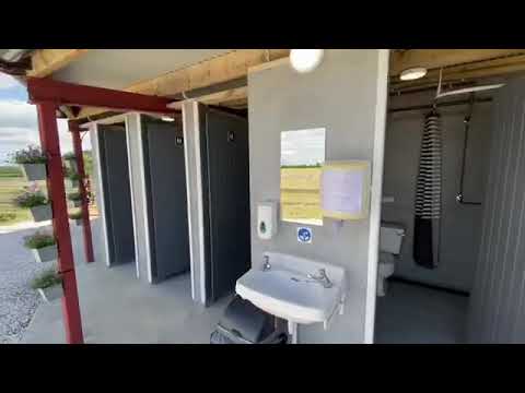
Galton Campsite

www.galtonfarm.co.uk.

Appalachian Gear Hoody Review

Showing off my new Appalachian gear hoody! First look at it before putting it through its trials on the South West Coast Path in a ...

Nearby Amenities

Located within 500m of 50.658,-2.318
Passing Place
Lat/Long: 50.6615791/-2.3168545
Material: wood
Power: pole
Source: bing
Lat/Long: 50.6597241/-2.3116855
Material: wood
Power: pole
Source: bing
Lat/Long: 50.6597894/-2.3134622
Material: wood
Power: pole
Source: survey
Lat/Long: 50.6598344/-2.315218
Material: wood
Power: pole
Source: survey
Transformer: distribution
Lat/Long: 50.6598535/-2.3162662
Hill Dairy
Place: farm
Lat/Long: 50.6601921/-2.3167429
The data included in this document is from www.openstreetmap.org. The data is made available under ODbL.

Have you been to Lord's Barrow?

Leave your review of Lord's Barrow below (or comments, questions and feedback).