Loose Howe
Heritage Site in Yorkshire
England
Loose Howe
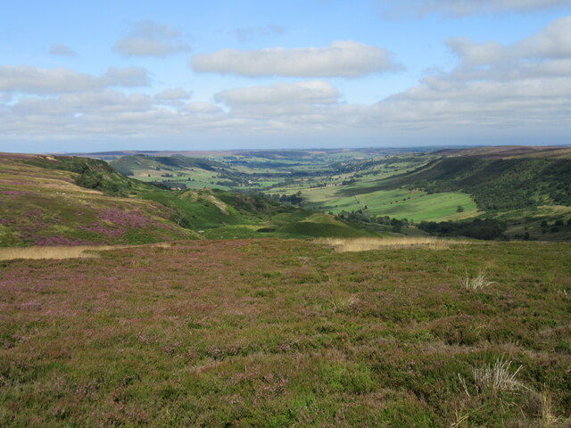
Loose Howe, located in the county of Yorkshire, England, is a significant heritage site that holds historical and archaeological importance. This ancient burial mound is situated near the village of Loose, in the picturesque Yorkshire Dales National Park.
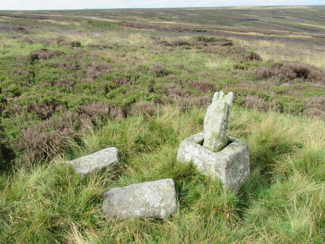
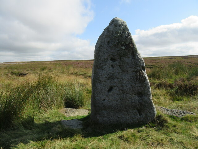
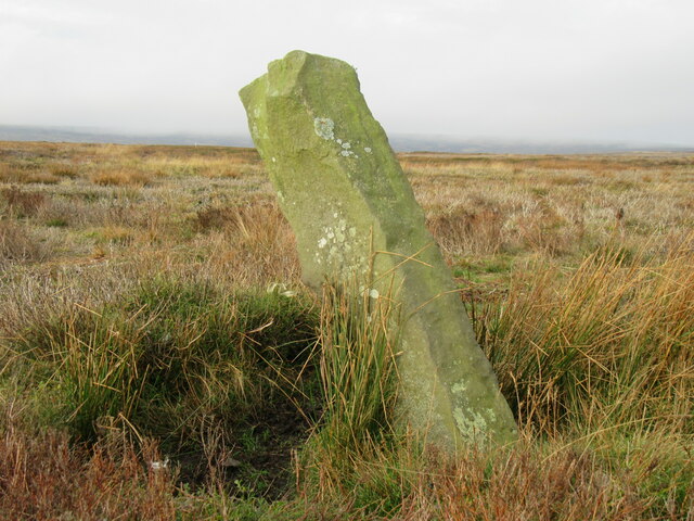
Loose Howe is believed to date back to the Bronze Age, making it over 4,000 years old. The site consists of a round barrow, a circular mound of earth and stones, which was used as a burial site for important individuals during that period. The mound is approximately 22 meters in diameter and 2 meters high, offering a remarkable sight against the surrounding landscape.
Excavations carried out in the 1950s unveiled fascinating finds, including human remains, pottery shards, and fragments of metal objects. These discoveries provided valuable insights into the burial customs and everyday life of the Bronze Age people who inhabited the region.
Visitors to Loose Howe can explore the site and immerse themselves in its rich history. Interpretive panels provide information about the site's significance and the archaeological discoveries made there. The mound offers a serene and reflective atmosphere, allowing visitors to appreciate the ancient rituals and traditions that once took place in this very spot.
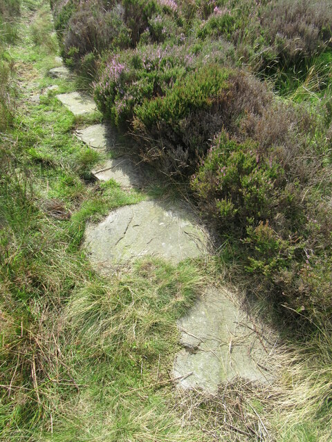
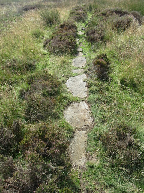
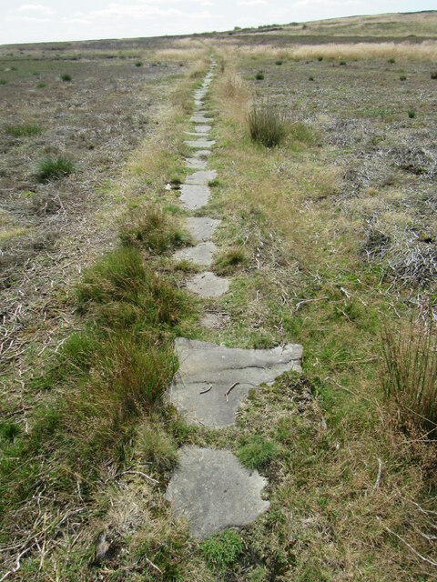
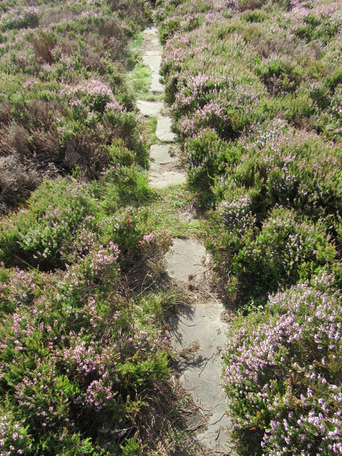
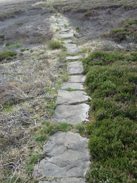
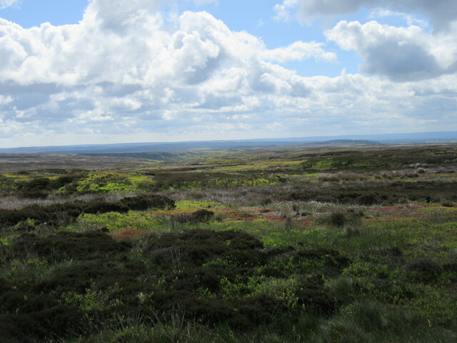
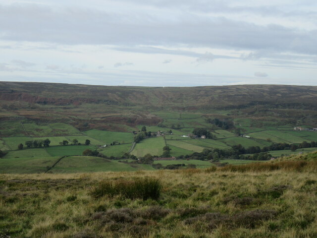
Situated in the heart of the Yorkshire Dales, Loose Howe offers breathtaking views of the surrounding countryside, making it an ideal destination for nature lovers and history enthusiasts alike. The site is easily accessible by foot, and nearby footpaths provide opportunities for further exploration of the beautiful Yorkshire landscape.
If you have any feedback on the listing, please let us know in the comments section below.
Loose Howe Images
Images are sourced within 2km of 54.3983/-0.9193 or Grid Reference NZ7000. Thanks to Geograph Open Source API. All images are credited.
![Foundations of navvy camp Headed high today. To Blakey Ridge. Through the freezing fog to blue skies and a boreal wonderland.
We were in search of the remains of a temporary encampment for the navvies that built the mineral railway around Rosedale. The location was at Black Intake just west of Green Head Brow.
The first loaded train along the 14-mile mineral railway from Battersby to the ironstone mines on the west side of Rosedale ran in 1861. Three years later work began on a 5-mile extension from Blakey crossing around the head of the dale to the mines on the east side. It was completed in 1865 taking just eighteen months.
The work was completed by an army of itinerant navvies or labourers who lived close to the job in temporary camps. One of these was located on a south-west-facing slope between Castle Crag and Green Head Brow. It was first identified and surveyed by members of the Scarborough and District Archaeology Society in 1974 (1979 Research Report No. 9). In 2019 the site was resurveyed.
The site consists of the turf-built foundations of seven buildings, six measuring 28 by 5 m and the seventh 12 by 5 m. It is thought the larger huts would have been occupied by a gangmaster and his family in one-half with the gang in the other. The gangmaster’s wife would cook and clean for the men.
However, as the camp was only occupied between censuses, records of the navvies are scant.
Some Lidar information is publicly available but only at one-metre resolution. The end and central walls of each building can clearly be seen as three ‘knolls’ in a line. On the ground, it is the back walls that are more pronounced.
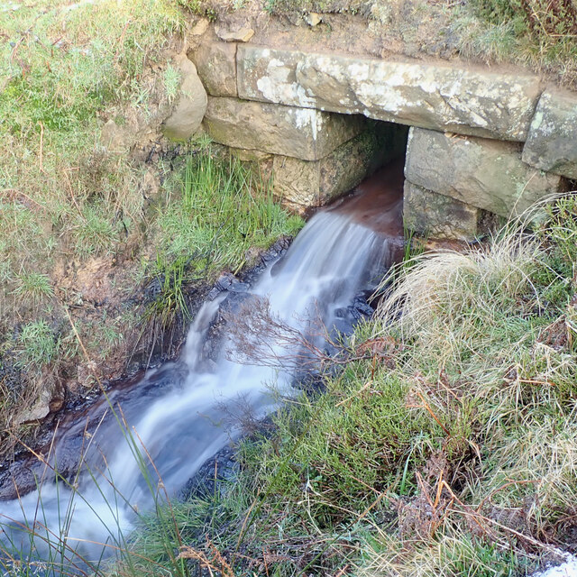
One of the tasks the navvies probably would not have performed would be the construction of the many culverts through the railway embankments for the moorland streams. These are well constructed of dressed sandstone blocks but were they cut on-site by skilled stonemasons or brought in from further down the dale?
The navvies’ main work would be digging the cuttings and transporting the spoil to fill the embankments. All by hand. What a hard life.
For sources and references see my blog: Out and about ... (2020). In search of a navvy camp in Rosedale. [online] Available at: <span class="nowrap"><a title="http://www.fhithich.uk/?p=24689" rel="nofollow ugc noopener" href="http://www.fhithich.uk/?p=24689">Link</a><img style="margin-left:2px;" alt="External link" title="External link - shift click to open in new window" src="https://s1.geograph.org.uk/img/external.png" width="10" height="10"/></span> [Accessed 11 Dec. 2021].](https://s3.geograph.org.uk/geophotos/07/04/11/7041167_dba6c73e.jpg)
Loose Howe is located at Grid Ref: NZ7000 (Lat: 54.3983, Lng: -0.9193)
Division: North Riding
What 3 Words
///steer.blackouts.incorrect. Near Danby, North Yorkshire
Nearby Locations
Related Wikis

Lion Inn
The Lion Inn is a public house at Blakey Ridge, near Kirkbymoorside, in North Yorkshire, England. The building was completed between 1553 and 1558 (dates...

Botton, North Yorkshire
Botton is a small village within the North York Moors National Park in North Yorkshire, England which is mainly a Camphill Community for people with learning...

Fryup
Fryup (grid reference NZ720046) is a hamlet in the North York Moors National Park in North Yorkshire, England. It is within the civil parish of Danby,...

Ironstone mining in Rosedale
The Ironstone mining in Rosedale, was a major mining concern, in Rosedale, North Yorkshire, England. It flourished in the 19th century and ceased in the...
Related Videos

THE VILLAGE OF GOATHLAND #heartbeat #Goathland #northyorkshire#explore #walking
The picturesque village situated on the North Yorkshire Moors. Used for the 1980 tv show heartbeat.

BLAKEY TOPPING & THE BRIDESTONES HIKE | NORTH YORK MOORS WALK
Join me for a 10 mile hike in the North York Moors where I walk from the car park at the Hole of Horcum to Malo Cross, up to the ...

15 TIPS for BEGINNERS to Long Distance Hiking & The West Highland Way
In this video I go over 15 tips that can hopefully help people that are new to long distance hiking. Whether you're planning on ...

Coast to Coast: Solo Hiking Across the Country - Day 13 (4K)
Join me on Patreon! https://www.patreon.com/TinyPineOutdoors Day 13 of solo hiking the Coast to Coast, I woke to a beautiful ...
Nearby Amenities
Located within 500m of 54.3983,-0.9193Have you been to Loose Howe?
Leave your review of Loose Howe below (or comments, questions and feedback).