Long Crag Stainmore
Heritage Site in Westmorland
England
Long Crag Stainmore
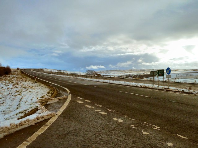
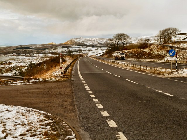
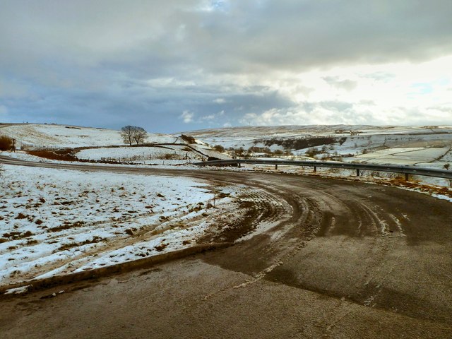
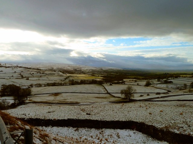
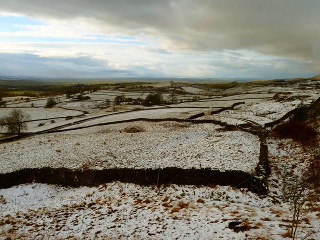
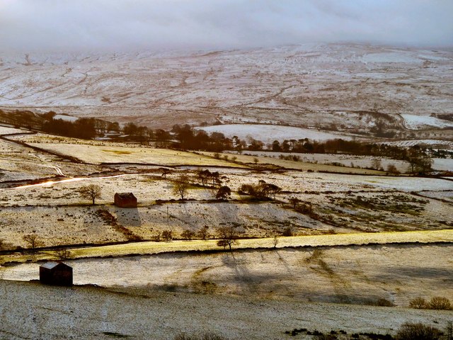
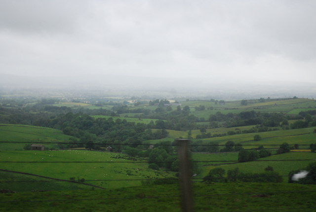
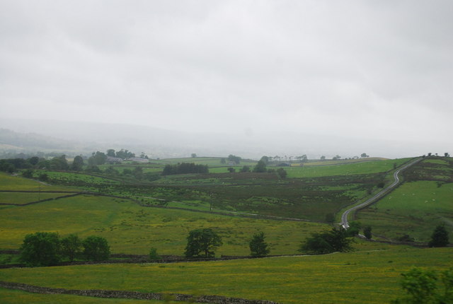
Long Crag Stainmore, located in Westmorland, England, is a significant heritage site that holds historical and geological importance. Situated in the North Pennines Area of Outstanding Natural Beauty, it is known for its stunning landscapes and rich cultural heritage.
The site is characterized by Long Crag, a prominent limestone outcrop that rises above the surrounding moorland. Long Crag has been shaped by natural processes over millions of years, resulting in unique geological formations and features. The exposed limestone rocks offer a glimpse into the area's ancient past, showcasing fossils and evidence of past marine environments.
Long Crag Stainmore is also of historical importance. It was once a bustling mining area, with lead mining being the primary industry during the 18th and 19th centuries. The remains of mining infrastructure, such as shafts, spoil heaps, and mine entrances, can still be seen scattered across the site, providing a tangible link to the area's industrial past.
The site is also home to a variety of wildlife and plant species, making it a haven for nature enthusiasts. Rare bird species, including the black grouse and curlew, can be spotted in the surrounding moorland. Additionally, the area is known for its diverse plant life, including vibrant heather and bilberry bushes.
Long Crag Stainmore is a cherished heritage site, offering both natural beauty and historical significance. Its geological and industrial history, coupled with its stunning landscapes and diverse wildlife, make it a must-visit destination for those interested in exploring England's heritage and natural wonders.
If you have any feedback on the listing, please let us know in the comments section below.
Long Crag Stainmore Images
Images are sourced within 2km of 54.538/-2.245 or Grid Reference NY8415. Thanks to Geograph Open Source API. All images are credited.


Long Crag Stainmore is located at Grid Ref: NY8415 (Lat: 54.538, Lng: -2.245)
Administrative County: Cumbria
Police Authority: Cumbria
What 3 Words
///resettle.mash.making. Near Kirkby Stephen, Cumbria
Nearby Locations
Related Wikis

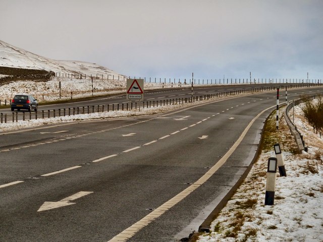
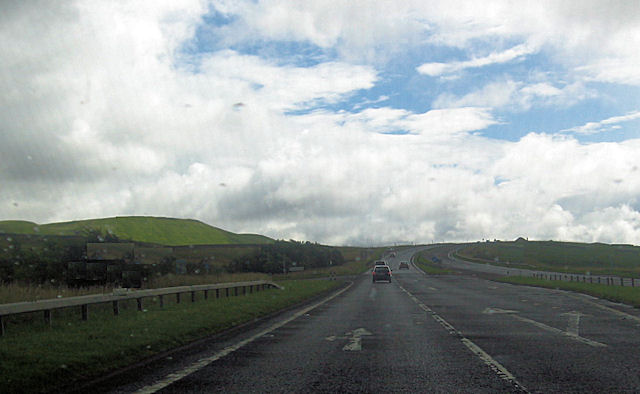
A66 road
The A66 is a major road in Northern England, which in part follows the course of the Roman road from Scotch Corner to Penrith. It runs from east of Middlesbrough...

Stainmore
Stainmore is a remote geographic area in the Pennines on the border of Cumbria, County Durham and North Yorkshire. The name is used for a civil parish...

Battle of Stainmore
The Battle of Stainmore was probably fought between the Earldom of Bernicia, led by Oswulf, and the forces of the last Norse king of Jórvík (York), Eric...
Snowdrift at Bleath Gill
Snowdrift at Bleath Gill is a 1955 British Transport Film documentary directed by Kenneth Fairbairn. The 10-minute-long film presents a first-hand account...

Barras, Cumbria
Barras is a hamlet close to the River Belah, about 4 miles (6 kilometres) south-east of Brough, Cumbria, England. Until the creation of the new county...

Barras railway station
Barras railway station was situated on the South Durham & Lancashire Union Railway between Barnard Castle and Kirkby Stephen East. == History == The station...

Helbeck
Helbeck is a settlement and civil parish near the village of Brough, in the Eden district, in the county of Cumbria, England. There is a wood called Helbeck...

Stainmore Summit
Stainmore Summit is the highest point on the trans-Pennine South Durham & Lancashire Union Railway, also known as the Stainmore Railway in Northern England...
Nearby Amenities
Located within 500m of 54.538,-2.245Have you been to Long Crag Stainmore?
Leave your review of Long Crag Stainmore below (or comments, questions and feedback).