Letocetum

Heritage Site in Staffordshire Lichfield

England

Letocetum

The Trooper pub at Wall
The Trooper pub at Wall Credit: Roy Hughes

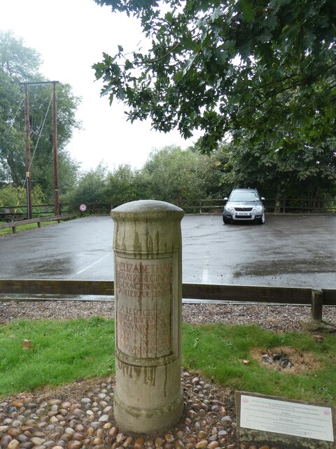
Letocetum, located in Staffordshire, England, is an ancient Roman settlement that has been designated as a heritage site due to its historical and archaeological significance. The site is situated near the modern-day village of Wall, approximately eight miles south-east of Lichfield.

Letocetum was an important staging post and a small town along the Roman road known as Watling Street, which connected the Roman settlements of Londinium (London) and Viroconium (Wroxeter). It served as a resting point for travelers and provided essential services such as inns, bathhouses, and workshops.

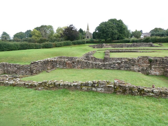
Excavations at Letocetum have revealed a wealth of remains that give insight into the daily life of its Roman inhabitants. The most prominent feature of the site is the well-preserved Roman bathhouse, which includes a frigidarium (cold room), tepidarium (warm room), and caldarium (hot room). These baths were a central aspect of Roman culture and were used for relaxation, socializing, and maintaining personal hygiene.

Other notable structures at Letocetum include a mansio, or traveler's inn, where visitors could rest and find lodging, and a granary that stored food supplies for the settlement. The remains of houses, a temple, and a small amphitheater have also been identified, showcasing the diversity of activities that took place within the town.

Today, Letocetum offers visitors the opportunity to explore the archaeological remains of this ancient Roman settlement. The site provides informative displays, reconstructed buildings, and guided tours that bring the history of Letocetum to life. It serves as an important educational resource, enabling visitors to learn about the Roman occupation of Britain and the impact it had on local communities.

If you have any feedback on the listing, please let us know in the comments section below.
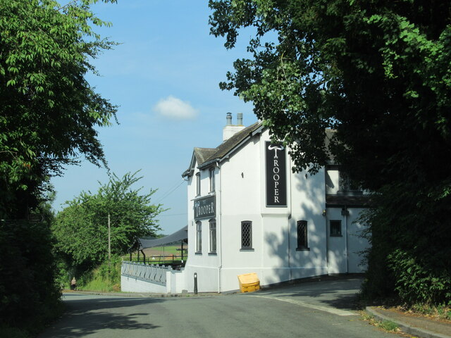
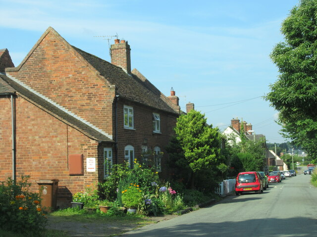
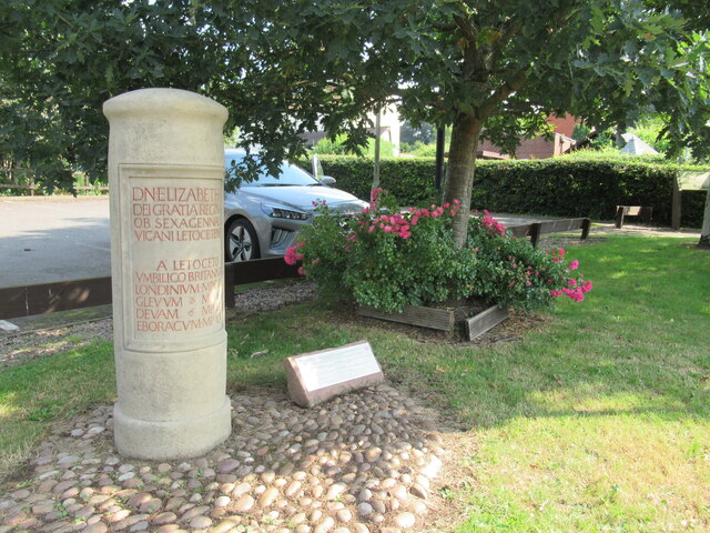
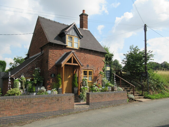
Letocetum Images

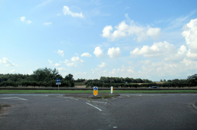
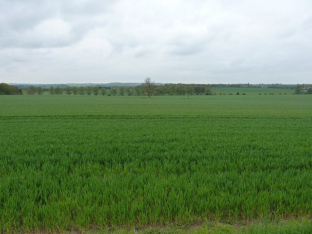
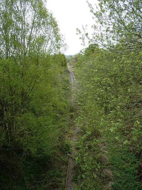
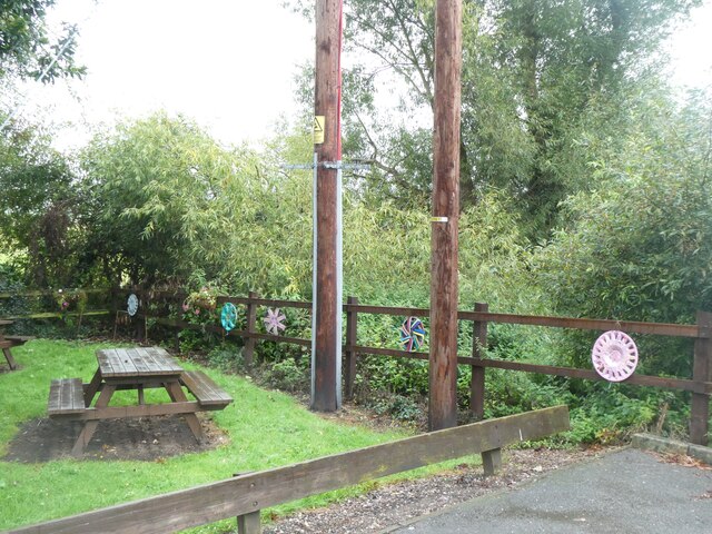
Images are sourced within 2km of 52.655/-1.845 or Grid Reference SK1006. Thanks to Geograph Open Source API. All images are credited.

The Trooper pub at Wall
Watling Street Wall
Watling Street Wall
Milestone in Wall
Milestone in Wall
Cottage and entrance to Roman remains, Wall
Watling Street junction with the A5, Wall
Large field southwest of Wall Lane
Lichfield direction on the former railway line The opposite view to that taken from the trackbed in <a href="https://www.geograph.org.uk/photo/4852272">SK0907 : Old Bridge</a>
Lichfield direction on the former railway line
The opposite view to that taken from the trackbed in SK0907 : Old Bridge
Recycled car hubcaps in Wall picnic area A picnic area by the car park for visitors to the village and its Roman excavations
Recycled car hubcaps in Wall picnic area
A picnic area by the car park for visitors to the village and its Roman excavations
A jubilee monument in the style of a Roman marker, Wall Erected in 2012 for Queen Elizabeth's diamond jubilee <a href="https://www.geograph.org.uk/photo/6050409">SK0906 : Modern Waymarker, Wall Roman Site Museum Car Park, Watling Street, Wall, off the A5</a> The text uses abbreviation, but a rough translation is: Her Majesty Queen Elizabeth by the grace of God in the 60th year of her reign the people of wall set up this monument/milestone at the centre of (Great) Britain.  Distances from Wall to London 114 miles, Gloucester 61 miles, Chester 63 miles and York 112 miles
A jubilee monument in the style of a Roman marker, Wall
Erected in 2012 for Queen Elizabeth's diamond jubilee SK0906 : Modern Waymarker, Wall Roman Site Museum Car Park, Watling Street, Wall, off the A5 The text uses abbreviation, but a rough translation is: Her Majesty Queen Elizabeth by the grace of God in the 60th year of her reign the people of wall set up this monument/milestone at the centre of (Great) Britain. Distances from Wall to London 114 miles, Gloucester 61 miles, Chester 63 miles and York 112 miles
Ploughed field on the edge of Wall
St John's church, Wall
Green Lane, Wall
Green Lane, Wall
Footpath and pointer, Wall
Excavations of the Roman site, Wall
The village hall, Wall
Cottages and the old school house, Wall The furthest building (cream facade) is the old school house
Cottages and the old school house, Wall
The furthest building (cream facade) is the old school house
Old Bridge Bridge carrying Wall Lane over the long disused Lichfield to Walsall railway. The rails are pretty clear in the other direction to Lichfield but past the bridge mother nature has been busy.

<span class="nowrap"><a title="http://southstaffsrail.webs.com/" rel="nofollow ugc noopener" href="http://southstaffsrail.webs.com/">Link</a><img style="margin-left:2px;" alt="External link" title="External link - shift click to open in new window" src="https://s1.geograph.org.uk/img/external.png" width="10" height="10"/></span>
Old Bridge
Bridge carrying Wall Lane over the long disused Lichfield to Walsall railway. The rails are pretty clear in the other direction to Lichfield but past the bridge mother nature has been busy. LinkExternal link
Old Canal Looking down the route of the long abandoned Lichfield canal which once ran from just outside Brownhills to Huddlesford.

<span class="nowrap"><a title="http://www.lhcrt.org.uk/" rel="nofollow ugc noopener" href="http://www.lhcrt.org.uk/">Link</a><img style="margin-left:2px;" alt="External link" title="External link - shift click to open in new window" src="https://s1.geograph.org.uk/img/external.png" width="10" height="10"/></span>
Old Canal
Looking down the route of the long abandoned Lichfield canal which once ran from just outside Brownhills to Huddlesford. LinkExternal link
Show me another place!

Letocetum is located at Grid Ref: SK1006 (Lat: 52.655, Lng: -1.845)

Administrative County: Staffordshire

District: Lichfield

Police Authority: Staffordshire

What 3 Words

///quaking.nurses.alarming. Near Shenstone, Staffordshire

Nearby Locations

Castle Croft Letocetum

Related Wikis

Wall, Staffordshire

Wall is a small village and civil parish in Staffordshire, England, just south of Lichfield. It lies on the site of the Roman settlement of Letocetum....

Letocetum

Letocetum is the ancient remains of a Roman settlement. It was an important military staging post and posting station near the junction of Watling Street...

Lichfield Canal

The Lichfield Canal, as it is now known, was historically a part of the Wyrley and Essington Canal, being the section of that canal from Ogley Junction...

Shenstone railway station

Shenstone railway station is a railway station on Station Road, in the village of Shenstone, in Staffordshire, England. It is situated on the Cross-City...

Shenstone, Staffordshire

Shenstone is a village and civil parish in The Lichfield District, Staffordshire, England, located between Lichfield and Sutton Coldfield. The parish also...

Pipehill

Pipehill is a hamlet and former civil parish, now in the parish of Hammerwich, in the Lichfield district, in the county of Staffordshire, England. It is...

Sandfields Pumping Station

Sandfields Pumping Station is a disused pumping station in Lichfield, in Staffordshire, England. The engine house was built in 1873 and contains the original...

Swinfen

Swinfen is a small community about two miles south of Lichfield in the civil parish of Swinfen and Packington, Staffordshire. Swinfen is referred to in...

Nearby Amenities

Located within 500m of 52.655,-1.845
Post Box
Postal Code: WS14
Ref: WS14 49
Lat/Long: 52.6570519/-1.8505969
Bus Stop
Watling Street
Bus: yes
Naptan AtcoCode: 3800C419401
Naptan Bearing: S
Naptan CommonName: Watling Street
Naptan Indicator: Adj
Naptan Landmark: Watling St (W)
Naptan Street: Chesterfield Lane
Naptan Verified: no
Public Transport: platform
Source: naptan_import
Lat/Long: 52.6554376/-1.8510721
Bus Stop
Watling Street
Bus: yes
Naptan AtcoCode: 3800C419402
Naptan Bearing: N
Naptan BusStopType: CUS
Naptan CommonName: Watling Street
Naptan Indicator: Adj
Naptan Landmark: Watling St (E)
Naptan Street: Chesterfield Lane
Naptan Verified: no
Public Transport: platform
Source: naptan_import
Lat/Long: 52.6554648/-1.8512346
Power: tower
Source: BING
Lat/Long: 52.651434/-1.8409439
Parking
Fee: no
Parking: layby
Source: survey
Lat/Long: 52.6531817/-1.8461419
Camera Mount: traffic_signals
Camera Type: panning
Man Made: surveillance
Surveillance: public
Surveillance Type: camera
Lat/Long: 52.6529509/-1.8437928
The data included in this document is from www.openstreetmap.org. The data is made available under ODbL.

Have you been to Letocetum ?

Leave your review of Letocetum below (or comments, questions and feedback).