Lennoxlove

Heritage Site in East Lothian

Scotland

Lennoxlove

Estate road, Clerkington
Estate road, Clerkington Credit: Richard Webb

Lennoxlove, located in East Lothian, Scotland, is a historic house and estate steeped in rich heritage. The property is situated approximately 20 miles east of Edinburgh and holds significant historical and cultural importance.

Originally known as Lethington, the house was built in the late 14th century and was later renamed Lennoxlove in the 17th century. The estate has been home to many notable figures throughout its long history, including the Maitland family, who were influential politicians and diplomats. The house itself is a stunning example of Scottish Renaissance architecture, boasting intricate detailing and impressive craftsmanship.

Lennoxlove is also famous for its connections to Mary, Queen of Scots, who frequently visited the property during her reign. The Queen gifted the house to her secretary, Sir William Maitland, and it remained in the family's possession for centuries. Visitors to Lennoxlove can explore the Mary, Queen of Scots room, which showcases a collection of rare artifacts associated with the iconic monarch.

The estate's grounds are equally captivating, featuring beautifully manicured gardens, woodlands, and a picturesque lake. The gardens provide a tranquil space for visitors to relax and enjoy the scenic surroundings.

Today, Lennoxlove is open to the public and offers guided tours, allowing visitors to delve into its fascinating history and admire its architectural splendor. The estate also hosts various events and exhibitions throughout the year, including art exhibitions and concerts, making it a vibrant cultural hub in East Lothian.

In summary, Lennoxlove is a remarkable heritage site in East Lothian, Scotland, offering a glimpse into Scotland's past through its historic house, stunning gardens, and connection to Mary, Queen of Scots.

If you have any feedback on the listing, please let us know in the comments section below.
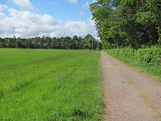
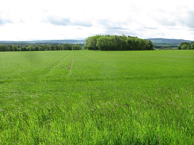
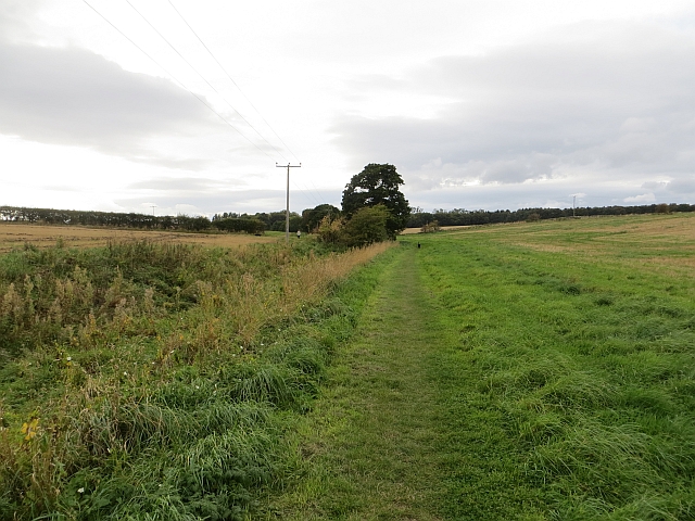
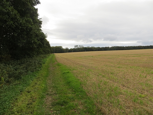
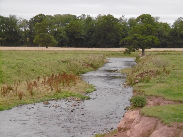
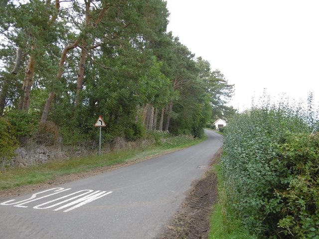
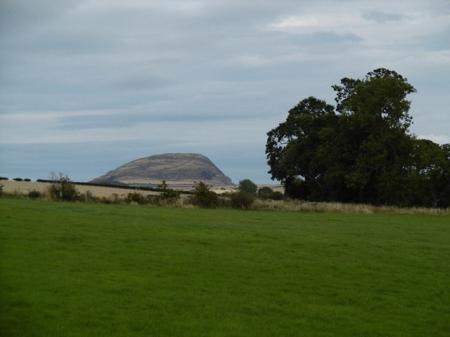
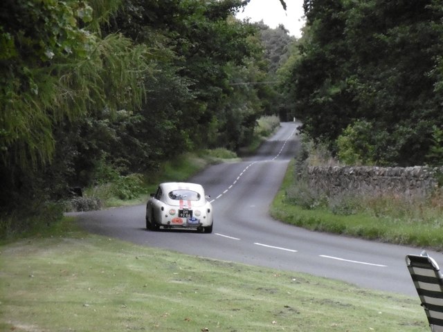
Lennoxlove Images

Images are sourced within 2km of 55.943/-2.777 or Grid Reference NT5172. Thanks to Geograph Open Source API. All images are credited.

Estate road, Clerkington
Cereals, Clerkington Arable farming at Clerkington Mains.
Cereals, Clerkington
Arable farming at Clerkington Mains.
Road, Westfield The cyclist in the picture was benefiting from a fierce tail wind. Guess which way I was going?  The short distance to the Samuelston Bridge was quite a struggle.
Road, Westfield
The cyclist in the picture was benefiting from a fierce tail wind. Guess which way I was going? The short distance to the Samuelston Bridge was quite a struggle.
Path to Letham Holdings East Lothian core path no.109, out of Haddington.
Path to Letham Holdings
East Lothian core path no.109, out of Haddington.
Path near Letham Holdings East Lothian core path no.109, out of Haddington.
Path near Letham Holdings
East Lothian core path no.109, out of Haddington.
Rural East Lothian : Gateway To Westfield
Rural East Lothian : Approaching Rain At Westfield Cottages
Road side post box at Letham Mains At the road junction from the A6093 to Letham Mains Smallholdings
Road side post box at Letham Mains
At the road junction from the A6093 to Letham Mains Smallholdings
An old gravestone at St Mary’s Kirkyard, Haddington The inscription reads:

HEER LYES PATRICK
DRUMOND LAVFUL SON
TO JOHN DRUMOND
OF LENOCH WHO DIED
AT DYRES MAY 1669
AND OF HIS AGE
4 YEERES
An old gravestone at St Mary’s Kirkyard, Haddington
The inscription reads: HEER LYES PATRICK DRUMOND LAVFUL SON TO JOHN DRUMOND OF LENOCH WHO DIED AT DYRES MAY 1669 AND OF HIS AGE 4 YEERES
Junction, B6368 By West Lodge, Lennoxlove.
Junction, B6368
By West Lodge, Lennoxlove.
East Lothian CC fingerpost Distances down to the furlong (200m) as usual in East Lothian.   A sadly neglected unit of distance is the furlong as it is 1/5th of a kilometre and 1/8th of a mile - very useful for quick conversions in a land where they still use miles on roadsigns.
East Lothian CC fingerpost
Distances down to the furlong (200m) as usual in East Lothian. A sadly neglected unit of distance is the furlong as it is 1/5th of a kilometre and 1/8th of a mile - very useful for quick conversions in a land where they still use miles on roadsigns.
Colstoun Water Near the Tyne confluence, upstream of Haddington. There is a new bridge here for the cycle/footpath.
Colstoun Water
Near the Tyne confluence, upstream of Haddington. There is a new bridge here for the cycle/footpath.
Mitchelhall Brae The steep side of a hill over to Haddington from the Gifford direction.
Mitchelhall Brae
The steep side of a hill over to Haddington from the Gifford direction.
View of Traprain Law From Mitchelhall.
View of Traprain Law
From Mitchelhall.
B6368 Leaving a control point on a rally, Tour Ecosse.  Every classic car that passed was Netherlands registered.
B6368
Leaving a control point on a rally, Tour Ecosse. Every classic car that passed was Netherlands registered.
Control, Grants' Braes Dutch classic car rally checkpoint by the Burns Monument.
Control, Grants' Braes
Dutch classic car rally checkpoint by the Burns Monument.
Control, Grants' Braes Rally checkpoint for Tour Ecosse - all cars were Netherlands registered and mostly 1960s classics.
Control, Grants' Braes
Rally checkpoint for Tour Ecosse - all cars were Netherlands registered and mostly 1960s classics.
New bridge over the Colstoun Water Route 196 of the National Cycle Network uses a new path and bridge beside the B6368.
New bridge over the Colstoun Water
Route 196 of the National Cycle Network uses a new path and bridge beside the B6368.
Show me another place!

Lennoxlove is located at Grid Ref: NT5172 (Lat: 55.943, Lng: -2.777)

Unitary Authority: East Lothian

Police Authority: The Lothians and Scottish Borders

What 3 Words

///king.stage.slot. Near Haddington, East Lothian

Related Wikis

Nearby Amenities

Located within 500m of 55.943,-2.777
East Port
Place: locality
Lat/Long: 55.9452585/-2.7706677
North Port
Place: locality
Lat/Long: 55.944779/-2.781933
Power: pole
Lat/Long: 55.9453774/-2.7824533
The data included in this document is from www.openstreetmap.org. The data is made available under ODbL.

Have you been to Lennoxlove?

Leave your review of Lennoxlove below (or comments, questions and feedback).