Lemanis

Heritage Site in Kent

England

Lemanis

Saxon Shore Way beside The Royal Military Canal Section of the Royal Military Canal between Green Gigger Bridge and Aldergate Bridge.
Saxon Shore Way beside The Royal Military Canal Credit: Chris Heaton

Lemanis, located in modern-day Kent, England, is a significant heritage site that holds archaeological remains of a Roman fort and a Saxon Shore fort. The site is believed to have been occupied since the late Iron Age, with evidence of pre-Roman settlement in the area. Lemanis, also known as Portus Lemanis, played a crucial role in the Roman defense system along the southeastern coast of Britain.

The Roman fort at Lemanis was established around the mid-1st century AD and served as a strategic military base guarding the important Roman port of Rutupiae (modern-day Richborough). The fort was rectangular in shape, covering an area of approximately 2.2 hectares, and featured defensive ditches and ramparts. It housed a garrison of Roman soldiers, who protected the port and the transportation of goods between Britain and the continent.

During the 3rd century AD, Lemanis underwent significant renovations, with the construction of a new defensive wall and gatehouse. This upgrade reflects the increased importance of the fort during this period of Roman defensive reorganization. However, by the 4th century AD, the fort was abandoned, likely due to the declining Roman influence in Britain.

In the 5th century AD, a Saxon Shore fort was built on the same site, demonstrating the strategic significance of Lemanis throughout different historical periods. The Saxon Shore fort was a defensive structure established to protect against Saxon raids along the southeastern coast of Britain. The fort was reinforced with a stone wall, towers, and a gatehouse.

Today, the remains of Lemanis provide valuable insights into the Roman and Saxon presence in Kent. Visitors to the site can explore the ruins of the fort, including the foundations of buildings and the defensive structures. The heritage site serves as a reminder of the area's rich history and its importance in the Roman defensive network.

If you have any feedback on the listing, please let us know in the comments section below.
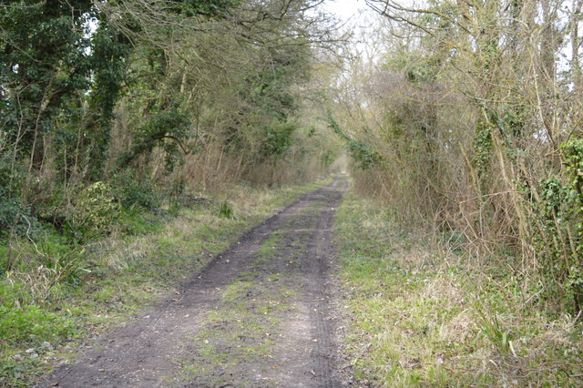
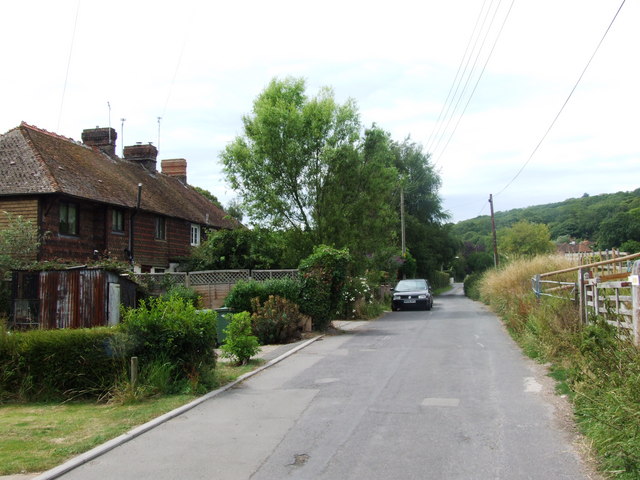
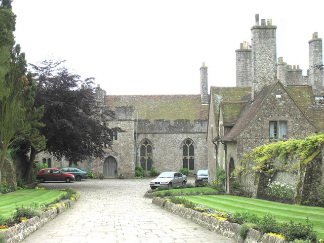
Lemanis Images

Images are sourced within 2km of 51.07/1.018 or Grid Reference TR1134. Thanks to Geograph Open Source API. All images are credited.

Saxon Shore Way beside The Royal Military Canal Section of the Royal Military Canal between Green Gigger Bridge and Aldergate Bridge.
Saxon Shore Way beside The Royal Military Canal
Section of the Royal Military Canal between Green Gigger Bridge and Aldergate Bridge.
Arable field, Romney Marsh
Lower Wall Road near Tontine Farm The scarp near Port Lympne Zoo and Stutfall Castle can be seen ahead. This was the old cliff line when Romney Marsh was covered by the sea.
Lower Wall Road near Tontine Farm
The scarp near Port Lympne Zoo and Stutfall Castle can be seen ahead. This was the old cliff line when Romney Marsh was covered by the sea.
View from Lower Wall Road near Tontine Farm The scarp near Port Lympne Zoo and Stutfall Castle can be seen ahead. This was the old cliff line when Romney Marsh was covered by the sea.
View from Lower Wall Road near Tontine Farm
The scarp near Port Lympne Zoo and Stutfall Castle can be seen ahead. This was the old cliff line when Romney Marsh was covered by the sea.
The Saxon Shore Way heading towards Aldergate Bridge The Royal Military Canal is on the other side of the bank on the right
The Saxon Shore Way heading towards Aldergate Bridge
The Royal Military Canal is on the other side of the bank on the right
Saxon Shore Way The Saxon Shore Way starts at Gravesend, Kent and traces the coast as it was in the Roman times as far as Hastings in East Sussex, 163 miles (262 km) in total. The Saxon Shore Way was originally opened in 1980, but has since been re-established, and in parts re-routed and extended. It follows the coastline of the South East as it was about 1500 years ago, long before the North Kent Marshes or the Romney Marsh came into existence.  The Way takes its name, The Saxon Shore, from a line of fortifications built along the coastline as it was in the 3rd Century AD.
Saxon Shore Way
The Saxon Shore Way starts at Gravesend, Kent and traces the coast as it was in the Roman times as far as Hastings in East Sussex, 163 miles (262 km) in total. The Saxon Shore Way was originally opened in 1980, but has since been re-established, and in parts re-routed and extended. It follows the coastline of the South East as it was about 1500 years ago, long before the North Kent Marshes or the Romney Marsh came into existence. The Way takes its name, The Saxon Shore, from a line of fortifications built along the coastline as it was in the 3rd Century AD.
Aldergate Wood (House)
Saxon Shore Way The Saxon Shore Way starts at Gravesend, Kent and traces the coast as it was in the Roman times as far as Hastings in East Sussex, 163 miles (262 km) in total. The Saxon Shore Way was originally opened in 1980, but has since been re-established, and in parts re-routed and extended. It follows the coastline of the South East as it was about 1500 years ago, long before the North Kent Marshes or the Romney Marsh came into existence.  The Way takes its name, The Saxon Shore, from a line of fortifications built along the coastline as it was in the 3rd Century AD.
Saxon Shore Way
The Saxon Shore Way starts at Gravesend, Kent and traces the coast as it was in the Roman times as far as Hastings in East Sussex, 163 miles (262 km) in total. The Saxon Shore Way was originally opened in 1980, but has since been re-established, and in parts re-routed and extended. It follows the coastline of the South East as it was about 1500 years ago, long before the North Kent Marshes or the Romney Marsh came into existence. The Way takes its name, The Saxon Shore, from a line of fortifications built along the coastline as it was in the 3rd Century AD.
Saxon Shore Way The Royal Military Canal Path (27 miles) mainly follows a canal-side path, which fringes the northern edge of Romney Marsh and which was built in the early 19th century as a defence against a possible invasion by Napoleon. The Canal is a Scheduled Ancient Monument and a SSSI. In addition to its historical and archaeological interest it is a valuable wetland habitat for a variety of species of flora and fauna. Links are made with the Saxon Shore Way at Appledore and West Hythe providing options for a circular route between these two places.
Saxon Shore Way
The Royal Military Canal Path (27 miles) mainly follows a canal-side path, which fringes the northern edge of Romney Marsh and which was built in the early 19th century as a defence against a possible invasion by Napoleon. The Canal is a Scheduled Ancient Monument and a SSSI. In addition to its historical and archaeological interest it is a valuable wetland habitat for a variety of species of flora and fauna. Links are made with the Saxon Shore Way at Appledore and West Hythe providing options for a circular route between these two places.
Royal Military Canal Path towards Aldergate Bridge
Lower Wall Road at Tontine Farm
Lower Wall Road towards Botolph's Bridge
The Saxon Shore Way
The Saxon Shore Way
Royal Military Canal Path The Royal Military Canal Path (27 miles) mainly follows a canal-side path, which fringes the northern edge of Romney Marsh and which was built in the early 19th century as a defence against a possible invasion by Napoleon. The Canal is a Scheduled Ancient Monument and a SSSI. In addition to its historical and archaeological interest it is a valuable wetland habitat for a variety of species of flora and fauna. Links are made with the Saxon Shore Way at Appledore and West Hythe providing options for a circular route between these two places.
Royal Military Canal Path
The Royal Military Canal Path (27 miles) mainly follows a canal-side path, which fringes the northern edge of Romney Marsh and which was built in the early 19th century as a defence against a possible invasion by Napoleon. The Canal is a Scheduled Ancient Monument and a SSSI. In addition to its historical and archaeological interest it is a valuable wetland habitat for a variety of species of flora and fauna. Links are made with the Saxon Shore Way at Appledore and West Hythe providing options for a circular route between these two places.
Field off Lower Wall Road
Pond near Coldharbour Cottage A footpath from the B2067 Otterpool Lane, leads past this pond and onwards to the B2067 near Court-at-Street. The cottage is in the centre. Coldharbour House is just seen on the left.
Pond near Coldharbour Cottage
A footpath from the B2067 Otterpool Lane, leads past this pond and onwards to the B2067 near Court-at-Street. The cottage is in the centre. Coldharbour House is just seen on the left.
The Royal Military Road towards Aldergate Bridge This track beside the Royal Military Canal (unseen on the right), it leads from Griggs Green Road towards West Hythe. It is also the route of the Saxon Shore Way (another long distance path).
The Royal Military Road towards Aldergate Bridge
This track beside the Royal Military Canal (unseen on the right), it leads from Griggs Green Road towards West Hythe. It is also the route of the Saxon Shore Way (another long distance path).
Show me another place!

Lemanis is located at Grid Ref: TR1134 (Lat: 51.07, Lng: 1.018)

What 3 Words

///trailing.breakfast.grazed. Near Lympne, Kent

Related Wikis

Portus Lemanis

Portus Lemanis, also known as Lemanae, was the Latin name of a Roman Saxon Shore fort, settlement and port in southern Kent. The modern village of Lympne...
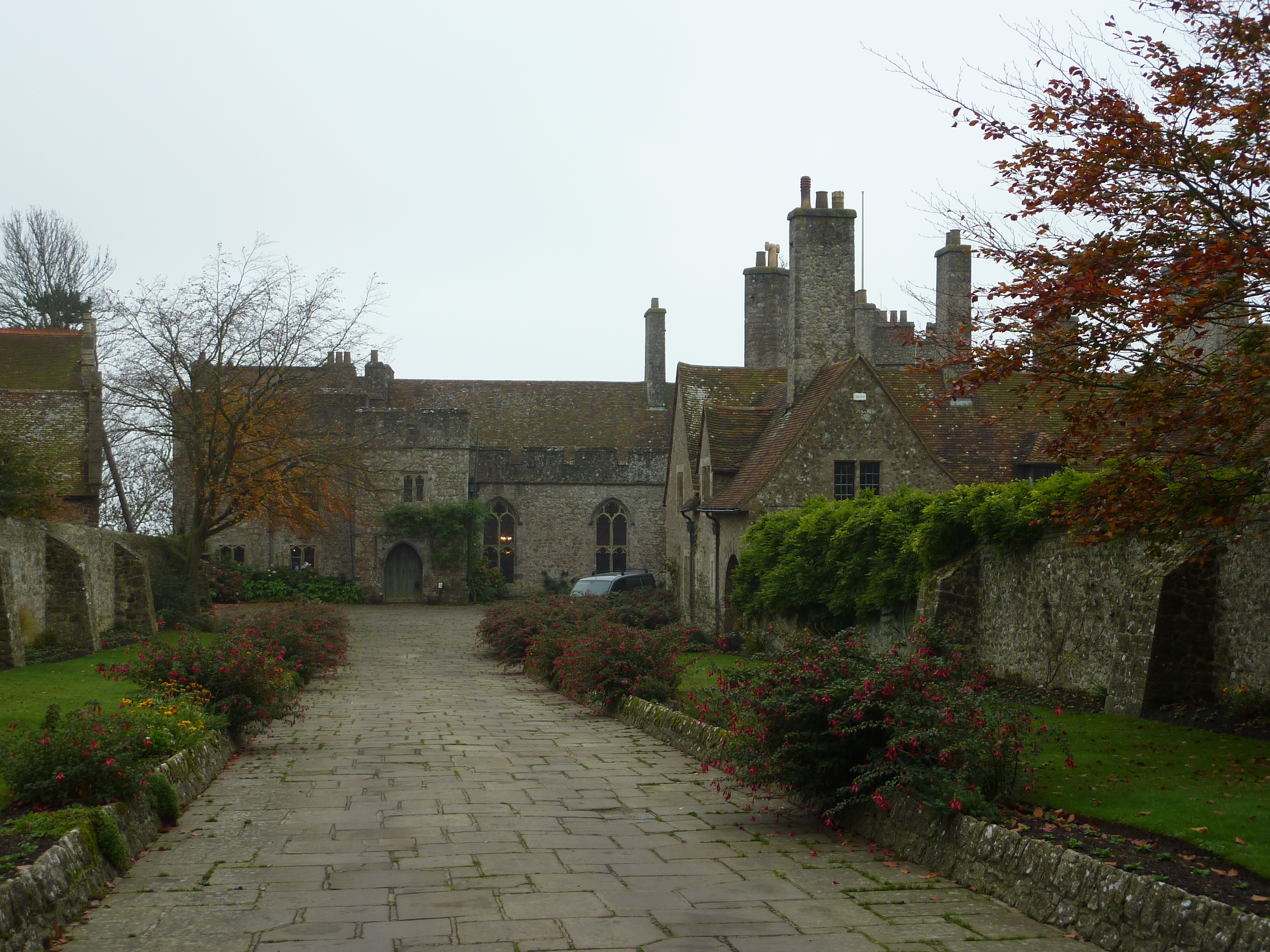
Lympne Castle

Lympne Castle is a 18,862 square feet (1,752.3 m2) medieval castle located in the village of Lympne, Kent, above Romney Marsh. After the Reformation, the...

Lympne Escarpment

Lympne Escarpment is a 140.2-hectare (346-acre) biological Site of Special Scientific Interest west of Hythe in Kent. Part of it is the remains of a Saxon...

West Hythe

West Hythe is a hamlet and former civil parish, now in the parish of Hythe, in the Folkestone and Hythe district, in Kent, England, near Palmarsh and a...

Lympne

Lympne (), formerly also Lymne, is a village on the former shallow-gradient sea cliffs above the expansive agricultural plain of Romney Marsh in Kent....

Lympne light aircraft trials

The Lympne Light Aircraft Trials were held to encourage the development of practical light aircraft for private ownership, with a strong but not exclusive...

Port Lympne Mansion

Port Lympne, at Lympne, Kent is an early 20th-century country house built for Sir Philip Sassoon by Herbert Baker and Philip Tilden. Completed after the...

Port Lympne Wild Animal Park

Port Lympne Hotel & Reserve near the town of Hythe in Kent, England is set in 600 acres (2.4 km2) and incorporates the historic Port Lympne Mansion, and...

Nearby Amenities

Located within 500m of 51.07,1.018
Millennium Milepost West Hythe Dam
Bicycle: yes
Description: 1) Folkestone 8.5 2) Rye 21.5
Image: https://www.cyclestreets.net/location/185617/cyclestreets185617.jpg
Information: guidepost
Ncn Milepost: mills
Source: survey
Sustrans Ref: MP 290
Tourism: information
Lat/Long: 51.0668236/1.0225868
Bench
Lat/Long: 51.0668779/1.0186112
Waste Basket
Lat/Long: 51.0669282/1.0184769
The data included in this document is from www.openstreetmap.org. The data is made available under ODbL.

Have you been to Lemanis ?

Leave your review of Lemanis below (or comments, questions and feedback).