Middle Hill
Settlement in Staffordshire South Staffordshire
England
Middle Hill

Middle Hill is a small village located in the county of Staffordshire, England. Situated in the West Midlands region, it is nestled within the picturesque countryside, surrounded by rolling hills and lush green fields. The village is located approximately 4 miles south of the town of Stafford, making it easily accessible for residents and visitors alike.
The village of Middle Hill is known for its quaint and charming atmosphere, with traditional stone cottages lining the streets. It has a tight-knit community, with a population of around 500 residents. The village boasts a primary school, which serves the local area, providing education for children aged 4 to 11.
Nature enthusiasts are drawn to Middle Hill due to its proximity to Cannock Chase, a designated Area of Outstanding Natural Beauty. This expansive woodland offers a range of outdoor activities, including walking trails, cycling routes, and wildlife spotting opportunities.
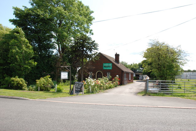
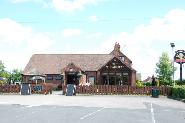
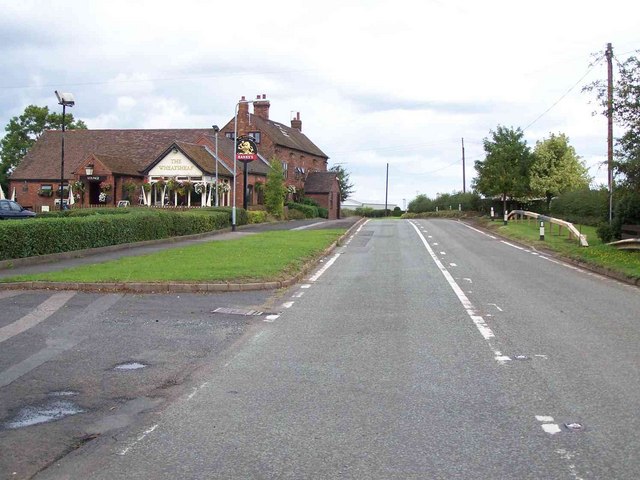
Although Middle Hill is a predominantly residential area, there are a few amenities available to its residents. These include a village hall, a local pub, and a small convenience store. For more extensive shopping and leisure facilities, residents often travel to nearby Stafford, where they can find a wider range of amenities and services.
Overall, Middle Hill offers a peaceful and idyllic setting for residents seeking a rural lifestyle, while still providing convenient access to nearby towns and amenities.
If you have any feedback on the listing, please let us know in the comments section below.
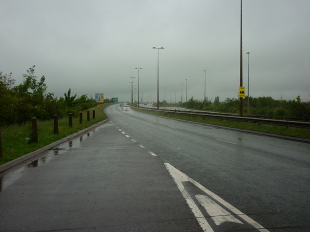
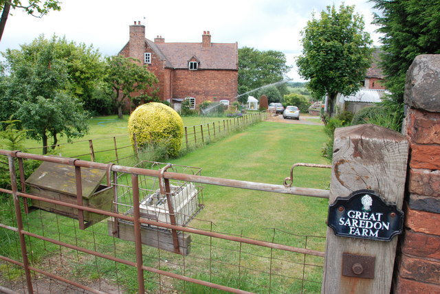
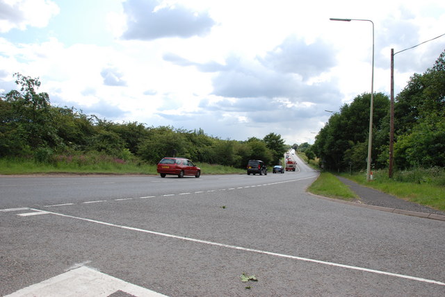
Middle Hill Images
Images are sourced within 2km of 52.667585/-2.0542848 or Grid Reference SJ9607. Thanks to Geograph Open Source API. All images are credited.


Middle Hill is located at Grid Ref: SJ9607 (Lat: 52.667585, Lng: -2.0542848)
Administrative County: Staffordshire
District: South Staffordshire
Police Authority: Staffordshire
What 3 Words
///robot.prices.hears. Near Great Wyrley, Staffordshire
Nearby Locations
Related Wikis
Wedges Mills
Wedges Mills is a small village in the South Staffordshire District in Staffordshire, England, close to the border with Cannock Chase District. The area...

Cheslyn Hay Academy
Cheslyn Hay Academy (formerly Cheslyn Hay Sport and Community High School) is a mixed secondary school and sixth form located in Cheslyn Hay in the English...
Saredon
Saredon is a civil parish in South Staffordshire district, Staffordshire, England, situated to the north east of Wolverhampton, West Midlands, and to the...

Cheslyn Hay
Cheslyn Hay is a former mining village and civil parish in the South Staffordshire district of Staffordshire, England. It is 3 miles south of Cannock,...
Bridgtown
Bridgtown is a village and civil parish, in the Cannock Chase District of Staffordshire, England. It is situated on the A5 between Cannock and Great Wyrley...

Four Crosses, Staffordshire
Four Crosses in South Staffordshire, Staffordshire, England. Is a scattered hamlet located between Cannock and Wolverhampton. As well as Penkridge and...
Wyrley and Cheslyn Hay railway station
Wyrley and Cheslyn Hay railway station served the villages of Great Wyrley and Cheslyn Hay in Staffordshire, England, between 1858 and 1965. == History... ==
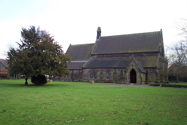
St Mark's Church, Great Wyrley
St Mark's is the parish church of Great Wyrley, South Staffordshire, England. It is known for having had the first South Asian vicar of any Church of England...
Nearby Amenities
Located within 500m of 52.667585,-2.0542848Have you been to Middle Hill?
Leave your review of Middle Hill below (or comments, questions and feedback).