Lang Stane

Heritage Site in Kincardineshire

Scotland

Lang Stane

Rumbleyond croft With a roof ladder in place.
Rumbleyond croft Credit: Stanley Howe

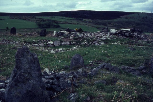
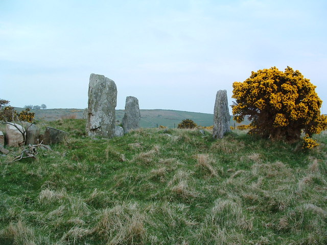
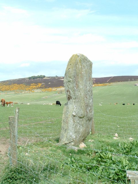
Lang Stane is a historic heritage site located in Kincardineshire, Scotland. The site holds significant cultural and historical importance and is considered one of the notable landmarks in the region. The Lang Stane, which translates to "long stone" in English, is an ancient standing stone that stands tall at approximately 3.4 meters in height.

The stone is believed to date back to the Bronze Age and is made of granite. It is thought to have been used as a boundary marker or a commemorative stone, although its exact purpose remains uncertain. The Lang Stane is known for its unique shape, resembling a thin, elongated pillar.

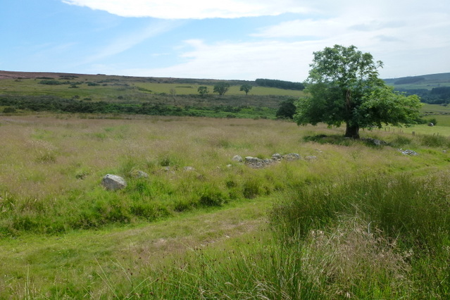
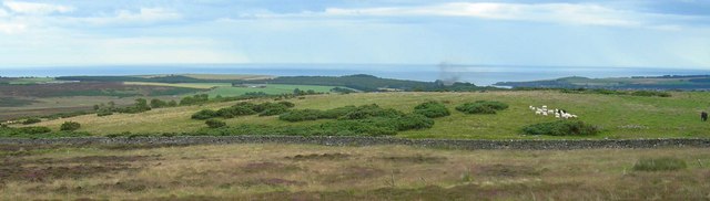
The stone is situated in an open field near the town of Kincardine O'Neil, providing a picturesque view of the surrounding landscape. It stands alone, surrounded by grass and a few scattered trees, creating a serene and tranquil atmosphere.

Due to its historical significance and unique appearance, the Lang Stane attracts visitors from both within Scotland and around the world. It offers an opportunity for people to step back in time and connect with the ancient history of the region. The stone's well-preserved condition and its intriguing backstory make it an intriguing destination for history enthusiasts, archaeologists, and tourists alike.

Overall, Lang Stane in Kincardineshire is a captivating heritage site that provides a glimpse into Scotland's ancient past and serves as a testament to the rich cultural heritage of the region.

If you have any feedback on the listing, please let us know in the comments section below.
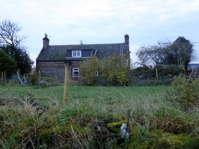
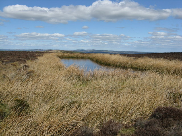
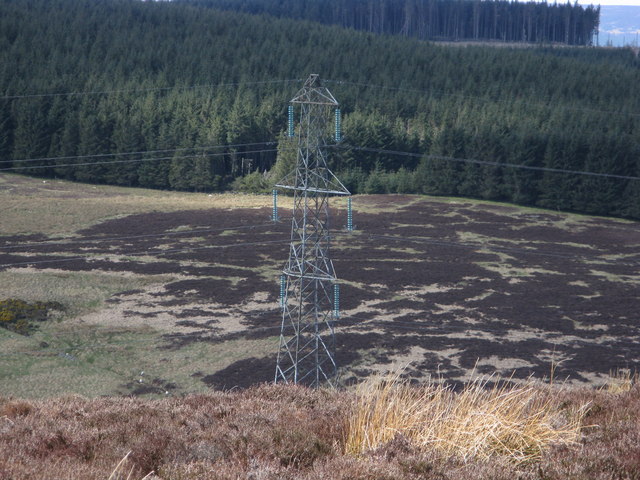
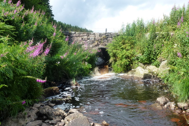
Lang Stane Images

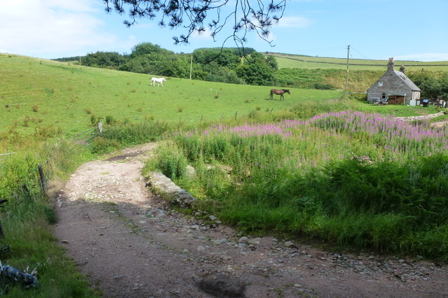
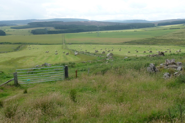
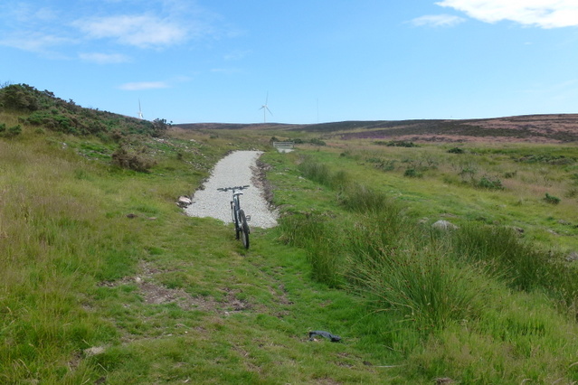
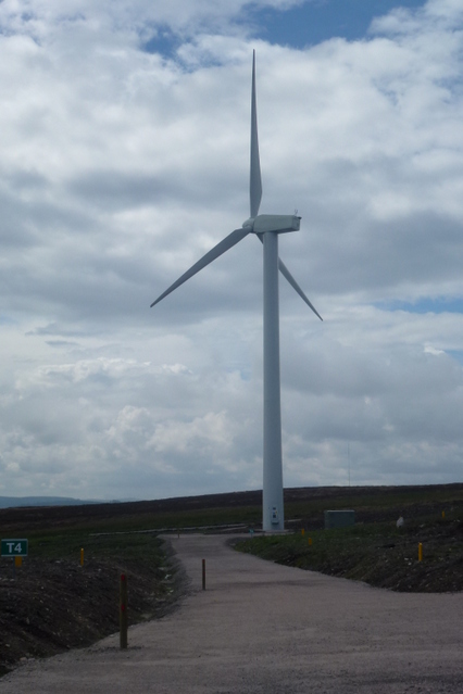
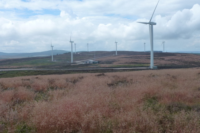
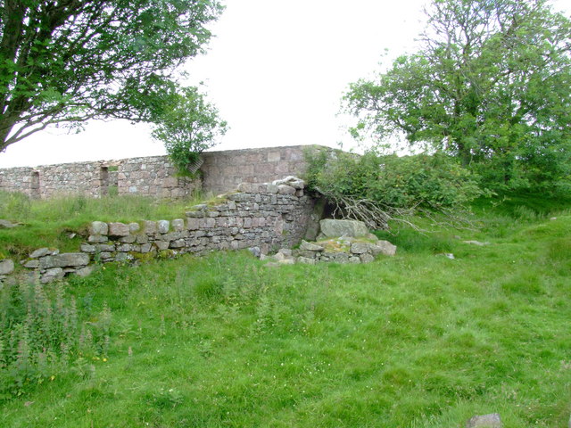
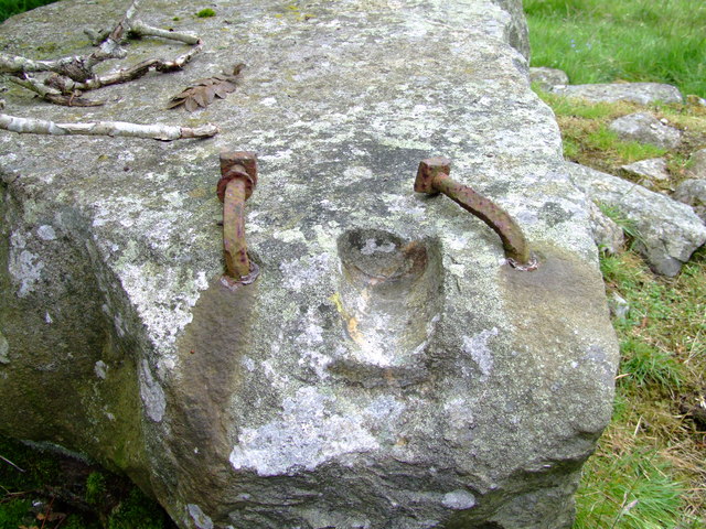
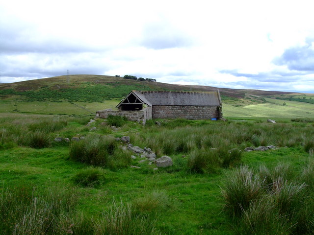
Images are sourced within 2km of 57.005/-2.288 or Grid Reference NO8290. Thanks to Geograph Open Source API. All images are credited.

Rumbleyond croft With a roof ladder in place.
Rumbleyond croft
With a roof ladder in place.
Curlethney trig. point
Pond between Curlethney Hill and Meikle Carewe Hill
H.V. pylon on Meikle Carewe
Rumbleyond Burn A minor bridge on the Rumbleyond Burn near Union cottage used mainly for farm vehicles on the Rickarton Estate
Rumbleyond Burn
A minor bridge on the Rumbleyond Burn near Union cottage used mainly for farm vehicles on the Rickarton Estate
Estate road at Union Cottage The estate track that leads from Union Cottage through Auquhollie Wood to Rumbleyond, a track used mainly by agricultural vehicles
Estate road at Union Cottage
The estate track that leads from Union Cottage through Auquhollie Wood to Rumbleyond, a track used mainly by agricultural vehicles
Agricultural Land An old track leading from the Lang Stane to the old derelict farm steading of Smallburn
Agricultural Land
An old track leading from the Lang Stane to the old derelict farm steading of Smallburn
A lone tree The track goes through the derelict farm steading of Smallburn, leading to Moss of Blackpots.  The tree is surrounded by rubble, and the low remains of farm buildings are just visible in the long grass
A lone tree
The track goes through the derelict farm steading of Smallburn, leading to Moss of Blackpots. The tree is surrounded by rubble, and the low remains of farm buildings are just visible in the long grass
A new hill track The new way marked track leading to Meikle Carewe windfarm.  The track snakes like a white ribbon over the Moss of Blackpots and can be seen clearly from the road leading to Easter Auquhollie
A new hill track
The new way marked track leading to Meikle Carewe windfarm. The track snakes like a white ribbon over the Moss of Blackpots and can be seen clearly from the road leading to Easter Auquhollie
Wind Turbine T4 Wind Turbine & access road, one of the turbines at Meikle Carewe windfarm
Wind Turbine
T4 Wind Turbine & access road, one of the turbines at Meikle Carewe windfarm
Meikle Carewe Windfarm The wind turbines at Meikle Carewe windfarm from Curlethney Hill
Meikle Carewe Windfarm
The wind turbines at Meikle Carewe windfarm from Curlethney Hill
Standing Stones and Ring Cairn I came looking for the Roman camp, but founds these standing stones instead.
Standing Stones and Ring Cairn
I came looking for the Roman camp, but founds these standing stones instead.
Standing Stones and Ring Cairn Just some of the Standing Stones on Campstone Hill near to West Raedykes. see <span class="nowrap"><a title="http://www.themodernantiquarian.com/site/8925/raedykes.html" rel="nofollow ugc noopener" href="http://www.themodernantiquarian.com/site/8925/raedykes.html">Link</a><img style="margin-left:2px;" alt="External link" title="External link - shift click to open in new window" src="https://s1.geograph.org.uk/img/external.png" width="10" height="10"/></span>
Standing Stones and Ring Cairn
Just some of the Standing Stones on Campstone Hill near to West Raedykes. see LinkExternal link
Lang Stane This stone has what is known as an Ogham Inscription on it an ancient
Irish alphabet from the fourth or fifth century
Lang Stane
This stone has what is known as an Ogham Inscription on it an ancient Irish alphabet from the fourth or fifth century
Mill This ruin of a mill lies west of Easter Auquhollie near Rickarton. The sluice
is hidden by the fallen Sycamore tree, but the large stone in front is where  
one side of the axle of the waterwheel rested on with the other end going through the hole in the wall. The water that powered the mill must have come from a spring as there is no sign of a river or burn at that height on the hill.
Mill
This ruin of a mill lies west of Easter Auquhollie near Rickarton. The sluice is hidden by the fallen Sycamore tree, but the large stone in front is where one side of the axle of the waterwheel rested on with the other end going through the hole in the wall. The water that powered the mill must have come from a spring as there is no sign of a river or burn at that height on the hill.
Waterwheel This is the stone that the axle of the waterwheel rotated on at the old 
mill near to Easter Auquhollie.
Waterwheel
This is the stone that the axle of the waterwheel rotated on at the old mill near to Easter Auquhollie.
Northward Farm (ruin) A remote farm steading on the east side of Bank Hill now used for
sheltering sheep. This had at one time been a fairly large farm by
the amount of ruins there are around the building. The hill behind
the steading is Meikle Carewe.
Northward Farm (ruin)
A remote farm steading on the east side of Bank Hill now used for sheltering sheep. This had at one time been a fairly large farm by the amount of ruins there are around the building. The hill behind the steading is Meikle Carewe.
Moorland and rough pastures below the Hill of Cairneymore
Show me another place!

Lang Stane is located at Grid Ref: NO8290 (Lat: 57.005, Lng: -2.288)

Unitary Authority: Aberdeenshire

Police Authority: North East

What 3 Words

///grasp.rabble.sponge. Near Stonehaven, Aberdeenshire

Nearby Locations

Auquhollie Wood Lang Stane

Related Wikis

Lang Stane of Auquhollie

The Lang Stane of Auquhollie is an Ogam-inscribed standing stone some 6 kilometres north-west of Stonehaven in Scotland. Situated on south side of Meikle...

Saddle Hill (Aberdeenshire)

Saddle Hill is a low lying mountain in eastern Aberdeenshire, Scotland within the Mounth Range of the Grampian Mountains. Its peak is 241 metres (791...

Raedykes

Raedykes is the site of a Roman marching camp located just over three miles (five kilometres) northwest of Stonehaven, Aberdeenshire, Scotland. National...

Meikle Carewe Hill

Meikle Carewe Hill is a landform in Aberdeenshire, Scotland within the Mounth Range of the Grampian Mountains. (Grid Reference NO 921 828) The peak elevation...

Nearby Amenities

Located within 500m of 57.005,-2.288
Design: barrel
Power: tower
Lat/Long: 57.0030111/-2.2937779
Design: barrel
Power: tower
Lat/Long: 57.0069382/-2.2929414
Lang Stane of Auquhollie
Archaeological Site: megalith
Description: The Lang Stane of Auquhollie is an Ogam-inscribed standing stone
Historic: archaeological_site
Historic Civilization: prehistoric
Megalith Type: standing_stone
Lat/Long: 57.0079888/-2.2926072
Power: pole
Lat/Long: 57.004237/-2.2960091
Power: pole
Lat/Long: 57.0043885/-2.295024
Power: pole
Lat/Long: 57.0045475/-2.2940266
Power: pole
Lat/Long: 57.004714/-2.2929785
Power: pole
Lat/Long: 57.0048521/-2.2917767
Power: pole
Lat/Long: 57.005007/-2.290478
Power: pole
Lat/Long: 57.0051643/-2.2892163
Power: pole
Lat/Long: 57.0053149/-2.2879192
Power: pole
Lat/Long: 57.0029774/-2.2863056
Power: pole
Lat/Long: 57.0031573/-2.2861841
Power: pole
Lat/Long: 57.0035315/-2.2861042
Power: pole
Lat/Long: 57.003965/-2.2862011
Power: pole
Lat/Long: 57.0043533/-2.2865023
Power: pole
Lat/Long: 57.0047751/-2.2868942
Power: pole
Lat/Long: 57.0051635/-2.2873752
Power: pole
Lat/Long: 57.0053007/-2.2875857
The data included in this document is from www.openstreetmap.org. The data is made available under ODbL.

Have you been to Lang Stane?

Leave your review of Lang Stane below (or comments, questions and feedback).