Belgrano
Settlement in Denbighshire
Wales
Belgrano

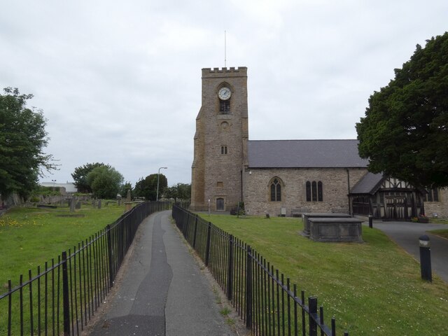
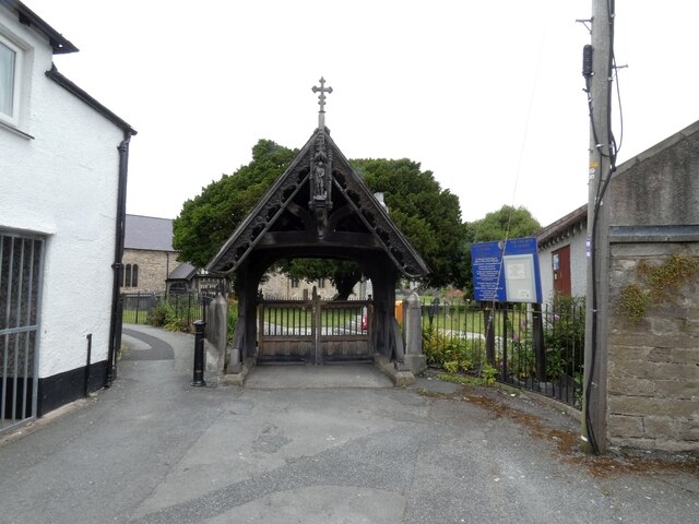
Belgrano is a small village located in Denbighshire, a county in north-east Wales, United Kingdom. Situated in the picturesque countryside of the Clwydian Range, it is surrounded by rolling hills and offers breathtaking views of the surrounding landscape.
The village itself is home to a tight-knit community of approximately 500 residents. Belgrano is known for its peaceful and tranquil atmosphere, making it an ideal place for those seeking a quiet and serene lifestyle. The village is characterized by its charming stone-built houses and narrow lanes, which add to its traditional Welsh village ambiance.
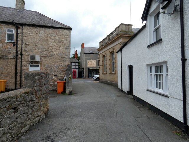
Despite its small size, Belgrano boasts a few amenities to cater to the needs of its residents. These include a local pub, a primary school, and a community center. The village also benefits from its proximity to larger towns like Denbigh and Ruthin, which provide a wider range of services such as supermarkets, shops, and healthcare facilities.
Nature lovers will find plenty to explore in the surrounding area. The Clwydian Range Area of Outstanding Natural Beauty offers numerous walking and hiking trails, allowing residents to immerse themselves in the stunning scenery. Additionally, the village is within easy reach of the North Wales coast, providing opportunities for beach visits and water activities.
Belgrano's location also offers excellent transport links, with good road connections to nearby towns and the A55 expressway, which connects to major cities like Chester and Liverpool. Overall, Belgrano offers a peaceful rural lifestyle with easy access to amenities and the natural beauty of Denbighshire.
If you have any feedback on the listing, please let us know in the comments section below.
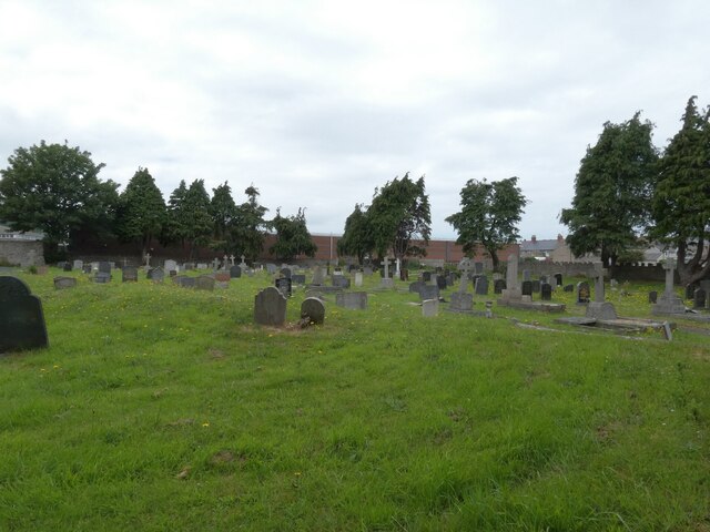
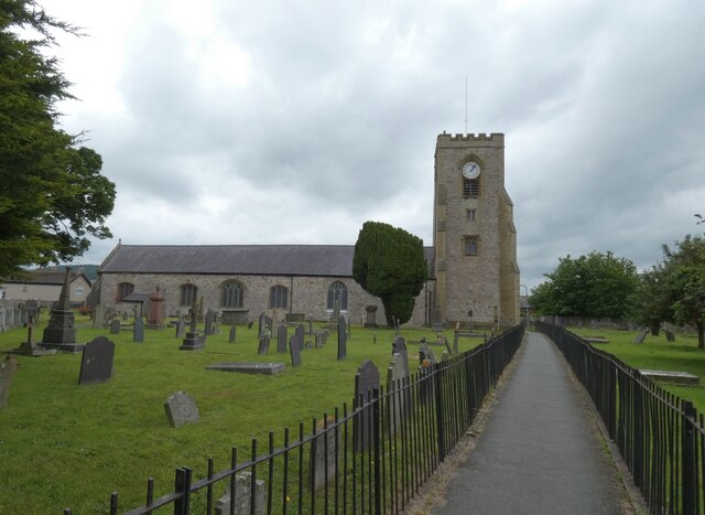
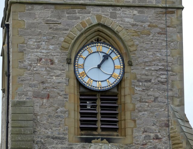
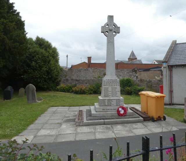
Belgrano Images
Images are sourced within 2km of 53.295789/-3.56398 or Grid Reference SH9578. Thanks to Geograph Open Source API. All images are credited.


Belgrano is located at Grid Ref: SH9578 (Lat: 53.295789, Lng: -3.56398)
Unitary Authority: Conwy
Police Authority: North Wales
What 3 Words
///shimmered.crystal.dish. Near Abergele, Conwy
Nearby Locations
Related Wikis

Pensarn
Pensarn is a suburb of Abergele in Conwy County Borough, Wales, the name Pensarn means 'end of the causeway' in English. The crossing of Morfa Rhuddlan...

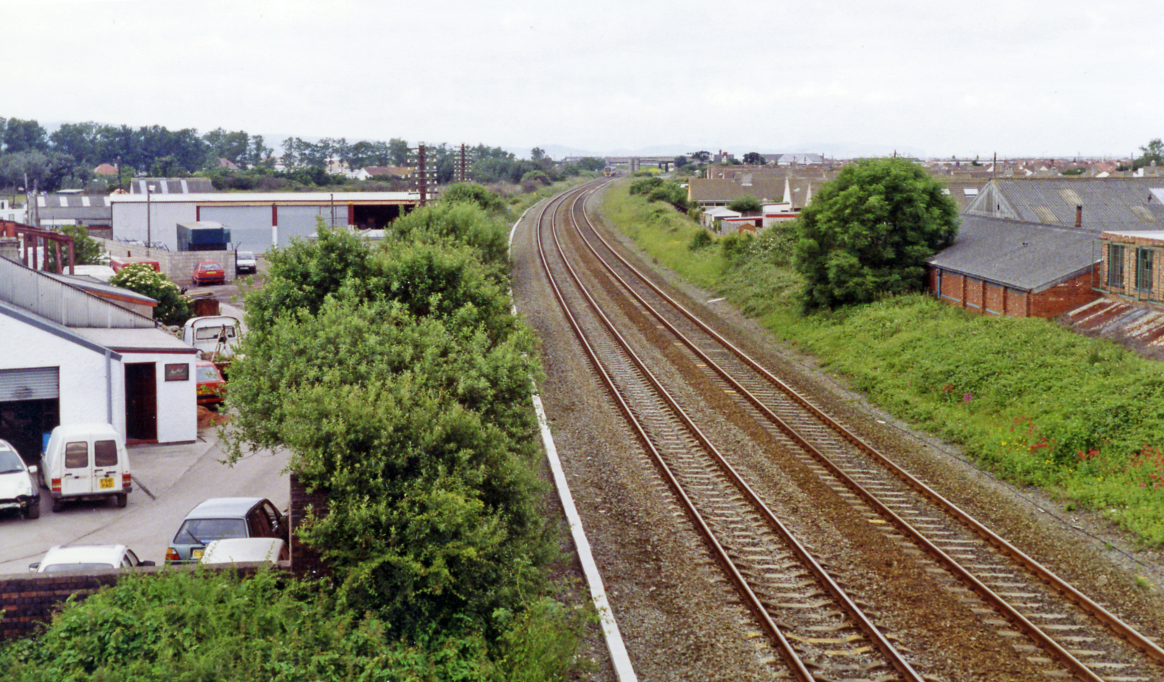
Abergele & Pensarn railway station
Abergele & Pensarn railway station is a railway station on the North Wales Coast Line which serves both the town of Abergele and suburb of Pensarn in Conwy...

Towyn
Towyn (Welsh: Tywyn) is a seaside resort in the Conwy County Borough, Wales. It is also an electoral ward to the town and county councils. == Location... ==

Kinmel Bay and Towyn
Kinmel Bay and Towyn (Welsh: Bae Cinmel a Tywyn) is a community in Conwy County Borough, in Wales. It is located on the coast bordering Denbighshire,...

River Gele
The River Gele (Welsh: Afon Gele) is a river in the North Wales and a tributary of the River Clwyd. The town of Abergele takes its name from the river...

Abergele
Abergele (; Welsh: [ˌabɛrˈɡɛlɛ]; ) is a market town and community, situated on the north coast of Wales between the holiday resorts of Colwyn Bay and Rhyl...
Foryd railway station
Foryd railway station (later known as Kinmel Bay Halt) was a railway station built to serve Kinmel Bay, then in Flintshire but now in Conwy County Borough...
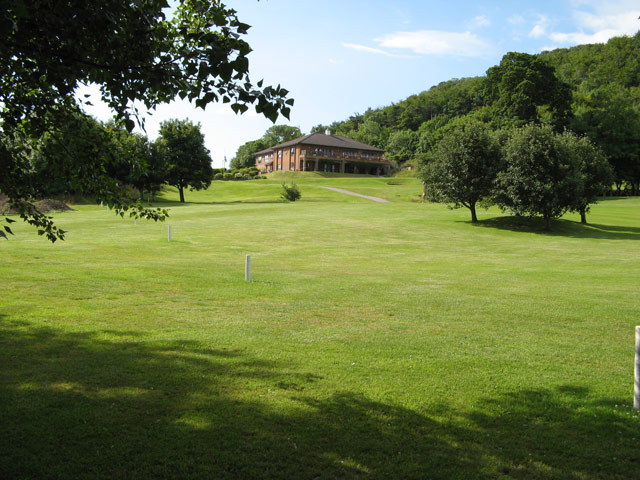
Abergele Golf Club
Abergele Golf Club (Welsh: Clwb Golff Abergele) is a golf club located in Abergele, Conwy, Clwyd, Wales. The 18-hole course was formed in 1910 and established...
Nearby Amenities
Located within 500m of 53.295789,-3.56398Have you been to Belgrano?
Leave your review of Belgrano below (or comments, questions and feedback).