Lady's Well

Heritage Site in Northumberland

England

Lady's Well

River Aln Upstream of Lion Bridge.
River Aln Credit: Jim Smillie

Lady's Well is a historical heritage site located in Northumberland, England. Situated near the village of Holystone, this ancient well holds significant cultural and religious importance. The well is named after the nearby Holy Trinity Church, which is dedicated to the Virgin Mary, often referred to as "Our Lady."

Lady's Well is believed to have been used as a place of pilgrimage since medieval times. It is said that the well possesses miraculous healing powers, attracting visitors seeking spiritual and physical relief. The water from the well is known for its clarity and purity, believed to have divine properties.

The site itself is surrounded by a tranquil and picturesque landscape, nestled amidst rolling hills and dense woodland. It consists of a stone well structure covered by a protective canopy, ensuring its preservation. The well is adorned with religious symbols, such as the Virgin Mary and the Holy Trinity, depicting the site's religious significance.

Visitors to Lady's Well can partake in a serene and reflective experience. Many choose to leave offerings and prayers at the well, adding to the spiritual ambiance of the site. The surrounding area also offers opportunities for leisurely walks and exploration of the nearby Holystone Forest.

Lady's Well is a cherished heritage site, cherished by locals and tourists alike. Its historical and cultural significance, coupled with its natural beauty, make it a must-visit destination for those interested in Northumberland's rich heritage and spiritual traditions.

If you have any feedback on the listing, please let us know in the comments section below.

Lady's Well Images

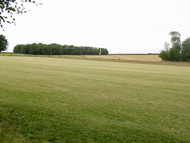
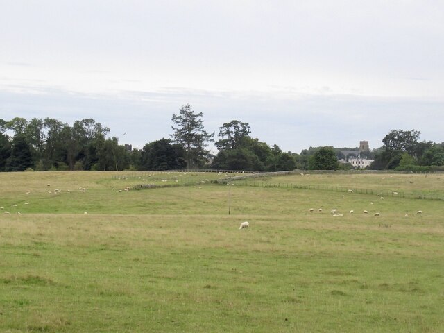
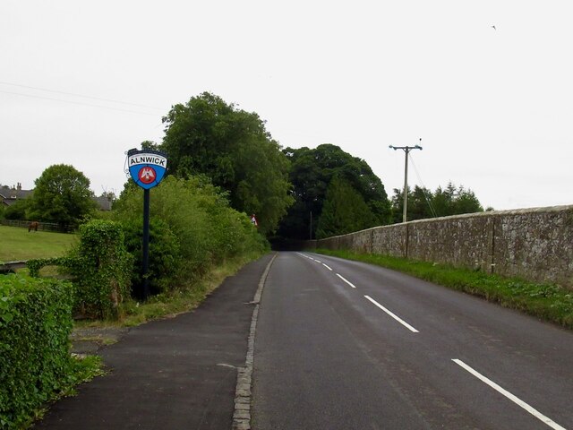
Images are sourced within 2km of 55.433/-1.723 or Grid Reference NU1715. Thanks to Geograph Open Source API. All images are credited.

River Aln Upstream of Lion Bridge.
River Aln
Upstream of Lion Bridge.
Lion Bridge The B6341 leaving Alnwick.
Lion Bridge
The B6341 leaving Alnwick.
Dawn Redwood, Metasequoia glypstostroboides Forming an avenue either side of Farm Drive in Hulne Park.
Until the 1940s, when it was discovered growing in China, the dawn redwood was only known from fossil specimens found throughout the northern hemisphere. Believed to have survived unchanged since the Cretaceous era, the first of the rediscovered trees to be grown in Britain can be found in the Cambridge University Botanic Garden.
Dawn Redwood, Metasequoia glypstostroboides
Forming an avenue either side of Farm Drive in Hulne Park. Until the 1940s, when it was discovered growing in China, the dawn redwood was only known from fossil specimens found throughout the northern hemisphere. Believed to have survived unchanged since the Cretaceous era, the first of the rediscovered trees to be grown in Britain can be found in the Cambridge University Botanic Garden.
Dawn Redwood, Metasequoia glypstostroboides Forming an avenue into Hulne Park.
For closer look at a trunk see: 
<a title="https://www.geograph.org.uk/photo/7031301" href="https://www.geograph.org.uk/photo/7031301">Link</a>
Dawn Redwood, Metasequoia glypstostroboides
Forming an avenue into Hulne Park. For closer look at a trunk see: Link
Repairing walls damaged by windfall Trees blown down by Storm Arwen.
Just north of the Lion Bridge.
The wall is enclosing Hulne Park.
Repairing walls damaged by windfall
Trees blown down by Storm Arwen. Just north of the Lion Bridge. The wall is enclosing Hulne Park.
Tree uprooted by Storm Arwen The debris on the road has been removed and the fence reinstated.
Tree uprooted by Storm Arwen
The debris on the road has been removed and the fence reinstated.
River Aln from Lion Bridge
Log stacks, Hinding Dean
Round bales Near Alnwick with Heifer Law in the background.
Round bales
Near Alnwick with Heifer Law in the background.
Field beside the Alnwick to Wooler road
Field near Heckley High House
Road junction near Heckley High House A yellow road that looks like a drive.
Road junction near Heckley High House
A yellow road that looks like a drive.
View towards Alnwick Near Abbeylands
View towards Alnwick
Near Abbeylands
B6346, Abbeylands
B6346, Abbeylands
Roe Deer in Hulne Park, Alnwick Browsing unconcerned until we were noticed.
Roe Deer in Hulne Park, Alnwick
Browsing unconcerned until we were noticed.
Malcolm's Cross <span class="nowrap"><a title="https://historicengland.org.uk/listing/the-list/list-entry/1153333?section=official-list-entry" rel="nofollow ugc noopener" href="https://historicengland.org.uk/listing/the-list/list-entry/1153333?section=official-list-entry">Link</a><img style="margin-left:2px;" alt="External link" title="External link - shift click to open in new window" src="https://s1.geograph.org.uk/img/external.png" width="10" height="10"/></span>
Malcolm's Cross
Medieval Cross Socket Stone <span class="nowrap"><a title="https://historicengland.org.uk/listing/the-list/list-entry/1153333?section=official-list-entry" rel="nofollow ugc noopener" href="https://historicengland.org.uk/listing/the-list/list-entry/1153333?section=official-list-entry">Link</a><img style="margin-left:2px;" alt="External link" title="External link - shift click to open in new window" src="https://s1.geograph.org.uk/img/external.png" width="10" height="10"/></span>
Medieval Cross Socket Stone
Beech trees beside the B6341
Show me another place!

Lady's Well is located at Grid Ref: NU1715 (Lat: 55.433, Lng: -1.723)

Unitary Authority: Northumberland

Police Authority: Northumbria

What 3 Words

///townhouse.leaky.system. Near Alnwick, Northumberland

Related Wikis

Hulne Priory

Hulne Priory, Hulne Friary or Hulne Abbey was a friary founded in 1240 by the Carmelites or 'Whitefriars'. It is said that the Northumberland site, quite...

Hulne Park

Hulne Park is the only one remaining of the three parks that once surrounded Alnwick Castle in Northumberland, providing wood and meat for the Percy family...

Alnwick Abbey

Alnwick Abbey was founded as a Premonstratensian monastery in 1147 by Eustace fitz John near Alnwick, England, as a daughter house of Newhouse Abbey in...

Battle of Alnwick (1093)

The Battle of Alnwick is one of two battles fought near the town of Alnwick in Northumberland, England. In the battle, which occurred on 13 November 1093...

Nearby Amenities

Located within 500m of 55.433,-1.723
Barrier: cattle_grid
Source: GPS survey
Lat/Long: 55.4298583/-1.7245073
Barrier: cattle_grid
Source: GPS survey
Lat/Long: 55.4286773/-1.721744
The data included in this document is from www.openstreetmap.org. The data is made available under ODbL.

Have you been to Lady's Well?

Leave your review of Lady's Well below (or comments, questions and feedback).