Lad Barrow

Heritage Site in Gloucestershire

England

Lad Barrow

Old Milestone, B4425 nr Aldsworth About ½ a mile West of the village. In parish of ALDSWORTH (COTSWOLD District), East of Aldsworth. Bibury marker, erected by the Bibury & Dancy's Fancy turnpike trust in the 19th century.

Inscription once read: Burford 7 / Cirencester 10
Lost benchmark representing 428.5 ft ASL (in 1900).

Milestone Society National ID: GL_CIBF10
Old Milestone, B4425 nr Aldsworth Credit: Mr Red

Lad Barrow, located in the county of Gloucestershire, England, is a renowned heritage site that holds significant historical and cultural importance. This ancient earthwork, dating back to the Iron Age, is situated on a hilltop overlooking the picturesque Severn Vale.

The Lad Barrow site encompasses a circular enclosure measuring approximately 40 meters in diameter, surrounded by a well-preserved earthen rampart and a deep, defensive ditch. The earthworks are believed to have been constructed around 500 BC, during the late Bronze Age or early Iron Age. The purpose of the site remains uncertain, but it is thought to have served as a fortified settlement or a ceremonial enclosure.

The strategic location of Lad Barrow provides panoramic views of the surrounding landscape, offering insights into the ancient inhabitants' choice of settlement. The site's preservation is remarkable, with the rampart still standing several meters high and the ditch remaining in good condition.

Lad Barrow is recognized as a Scheduled Monument, protected by law to preserve its historical significance. Visitors can explore the site and observe the earthworks up close, allowing them to appreciate the craftsmanship and engineering skills of the ancient people who constructed it.

The heritage site is easily accessible, with parking facilities and informative signage to guide visitors. It provides a unique opportunity for history enthusiasts, archaeologists, and locals to engage with Gloucestershire's rich cultural heritage and gain an understanding of the region's ancient past.

If you have any feedback on the listing, please let us know in the comments section below.
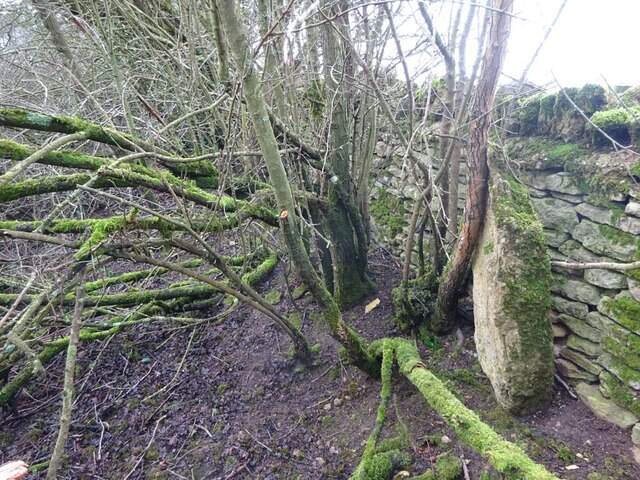
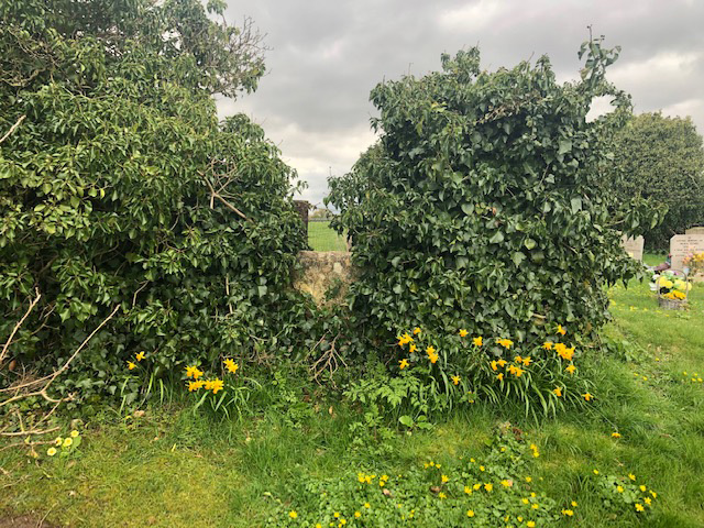
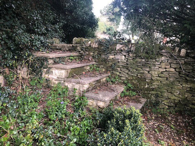
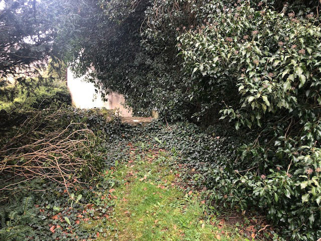
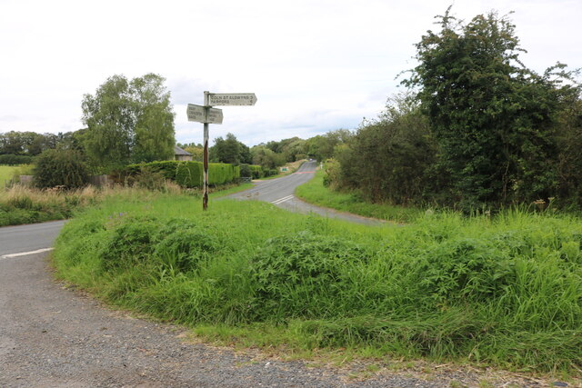
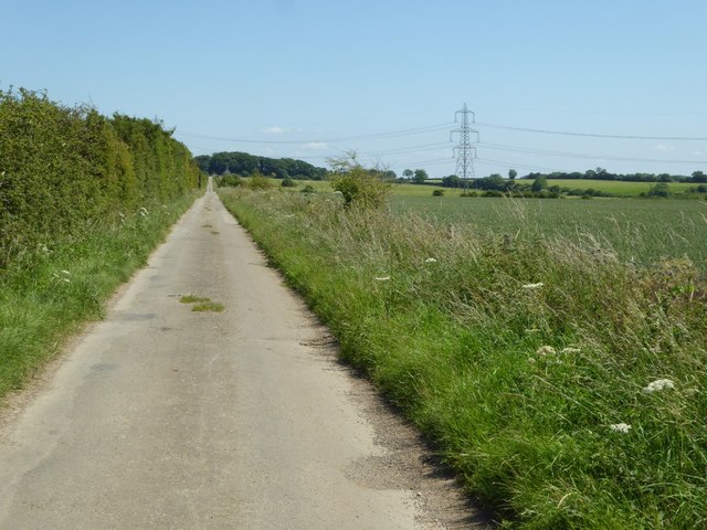
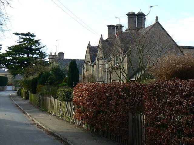
Lad Barrow Images

Images are sourced within 2km of 51.783/-1.76 or Grid Reference SP1609. Thanks to Geograph Open Source API. All images are credited.

Old Milestone, B4425 nr Aldsworth About ½ a mile West of the village. In parish of ALDSWORTH (COTSWOLD District), East of Aldsworth. Bibury marker, erected by the Bibury & Dancy's Fancy turnpike trust in the 19th century.

Inscription once read: Burford 7 / Cirencester 10
Lost benchmark representing 428.5 ft ASL (in 1900).

Milestone Society National ID: GL_CIBF10
Old Milestone, B4425 nr Aldsworth
About ½ a mile West of the village. In parish of ALDSWORTH (COTSWOLD District), East of Aldsworth. Bibury marker, erected by the Bibury & Dancy's Fancy turnpike trust in the 19th century. Inscription once read: Burford 7 / Cirencester 10 Lost benchmark representing 428.5 ft ASL (in 1900). Milestone Society National ID: GL_CIBF10
Stone Stile, Aldsworth Not on a registered footpath, in the churchyard wall of St Bartholomew's.
Stone Stile, Aldsworth
Not on a registered footpath, in the churchyard wall of St Bartholomew's.
Stone Stile, Aldsworth A private stile to the church storeyard from the graveyard. St Bartholomew's. Looking towards the church, the view SE back is <a href="https://www.geograph.org.uk/photo/7299535">SP1509 : Stone Stile, Aldsworth</a>.
Stone Stile, Aldsworth
A private stile to the church storeyard from the graveyard. St Bartholomew's. Looking towards the church, the view SE back is SP1509 : Stone Stile, Aldsworth.
Stone Stile, Aldsworth A private stile to the church storeyard from the graveyard. St Bartholomew's. Looking SE, the view NW towards the church is <a href="https://www.geograph.org.uk/photo/7299530">SP1509 : Stone Stile, Aldsworth</a>.
Stone Stile, Aldsworth
A private stile to the church storeyard from the graveyard. St Bartholomew's. Looking SE, the view NW towards the church is SP1509 : Stone Stile, Aldsworth.
Stone Stile, Aldsworth A private stile from the large divided house made to look like a Tithe Barn, and St Bartholomews.
Stone Stile, Aldsworth
A private stile from the large divided house made to look like a Tithe Barn, and St Bartholomews.
Slow Hedgehogs Crossing road sign near Swyre Farm (1) This road sign is located on the road between Aldsworth and Coln St Alwyns. Swyre Farm can be seen in the background.
Slow Hedgehogs Crossing road sign near Swyre Farm (1)
This road sign is located on the road between Aldsworth and Coln St Alwyns. Swyre Farm can be seen in the background.
Slow Hedgehogs Crossing road sign near Swyre Farm (2) This road sign is located by the road near Swyre Farm GL54 3RE between Aldsworth and Coln St Aldwyns.
Slow Hedgehogs Crossing road sign near Swyre Farm (2)
This road sign is located by the road near Swyre Farm GL54 3RE between Aldsworth and Coln St Aldwyns.
New Cottage
New Cottage
Junction on the B4425, Aldsworth
Fields in Aldsworth
Fields in Aldsworth
Approaching Aldsworth
Field in Aldsworth
Field in Aldsworth
Farmland by Dean Farm Farmland by Dean Farm to the north-east of Coln St Aldwyns.
Farmland by Dean Farm
Farmland by Dean Farm to the north-east of Coln St Aldwyns.
No through road approaching Dean Farm
Road approaching Upper Cottages Country road to Dean Farm approaching Upper Cottages.
Road approaching Upper Cottages
Country road to Dean Farm approaching Upper Cottages.
Hay bale and old shed Hay bale and old shed opposite Swyre Farm near Aldsworth.
Hay bale and old shed
Hay bale and old shed opposite Swyre Farm near Aldsworth.
Field entrance Field entrance opposite Swyre Farm near Aldsworth.
Field entrance
Field entrance opposite Swyre Farm near Aldsworth.
Road to Ladbarrow Farm A no through road from the village of Aldsworth giving access to Ladbarrow Farm.
Road to Ladbarrow Farm
A no through road from the village of Aldsworth giving access to Ladbarrow Farm.
Show me another place!

Lad Barrow is located at Grid Ref: SP1609 (Lat: 51.783, Lng: -1.76)

What 3 Words

///climbing.unusable.printouts. Near Northleach, Gloucestershire

Nearby Locations

Lad Barrow

Related Wikis

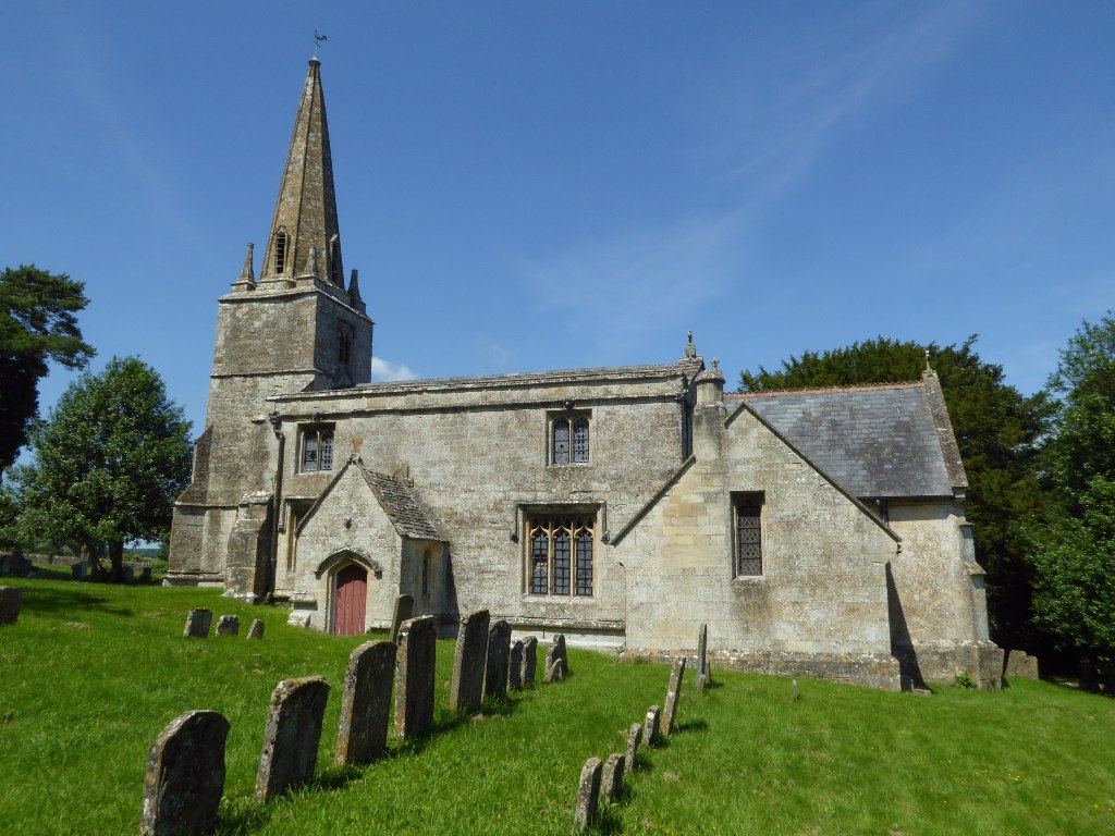
Church of St Bartholomew, Aldsworth

The Anglican Church of St Bartholomew at Aldsworth in the Cotswold District of Gloucestershire, England was built in the late 12th century. It is a grade...

Aldsworth

Aldsworth is a village and civil parish in the Cotswold district of Gloucestershire, about ten miles north-east of Cirencester. In 2010 its population...

Windrush, Gloucestershire

Windrush is a village and civil parish in Gloucestershire, England, approximately five miles southeast of Northleach. It lies in the Cotswolds on the River...

RAF Windrush

Royal Air Force Windrush, or more simply RAF Windrush, is a former Royal Air Force satellite station near Windrush, Gloucestershire, England. It was opened...

Lodge Park and Sherborne Estate

Lodge Park was built as a grandstand in the Sherborne Estate near the villages of Sherborne, Aldsworth and Northleach in Gloucestershire, England. The...

Hatherop

Hatherop is a village and civil parish in the Cotswolds Area of Outstanding Natural Beauty, about 2.5 miles (4.0 km) north of Fairford in Gloucestershire...

Church of St Peter, Windrush

The Anglican Church of St Peter at Windrush in the Cotswold District of Gloucestershire, England was built in the 12th century. It is a grade I listed...

Coln St. Aldwyns

Coln St. Aldwyns (sometimes Coln St. Aldwyn) is a village and civil parish in the Cotswold district of the English county of Gloucestershire. == History... ==

Nearby Amenities

Located within 500m of 51.783,-1.76
Power: tower
Lat/Long: 51.782565/-1.7549925
Power: tower
Lat/Long: 51.782204/-1.7644313
Power: tower
Lat/Long: 51.7823702/-1.7600963
The data included in this document is from www.openstreetmap.org. The data is made available under ODbL.

Have you been to Lad Barrow?

Leave your review of Lad Barrow below (or comments, questions and feedback).