Kirkconnel Church
Heritage Site in Dumfriesshire
Scotland
Kirkconnel Church
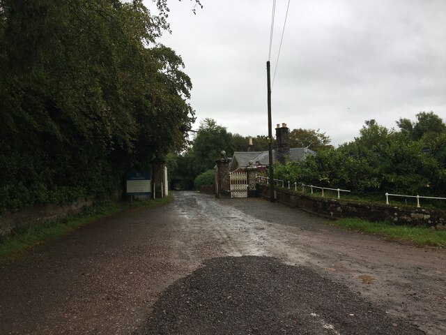
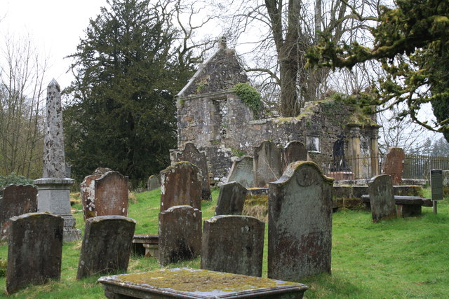
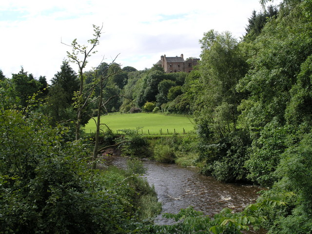
Kirkconnel Church is a historic heritage site located in Dumfriesshire, Scotland. Situated in the village of Kirkconnel, the church holds significant historical and architectural value.
The church dates back to the 16th century, with its origins being traced to an earlier medieval building. It was originally constructed as a place of worship for the local community and has served as a focal point for religious activities for centuries.
The architectural style of Kirkconnel Church showcases a unique blend of traditional Scottish design elements. The exterior features sturdy stone walls and a prominent bell tower, which adds to the visual appeal of the building. Inside, visitors can admire the intricate woodwork and stained glass windows that adorn the church.
One notable feature of Kirkconnel Church is the presence of ancient gravestones in its surrounding churchyard. These gravestones are believed to date back several centuries and offer a glimpse into the local history and the individuals who once lived in the area.
Over the years, the church has undergone several renovations and restorations to preserve its heritage. Despite its age, it continues to be an active place of worship, hosting regular religious services and events.
Kirkconnel Church stands as a testament to the rich cultural and historical heritage of Dumfriesshire. Its unique architecture and historical significance make it an important site for visitors and locals interested in exploring the region's past.
If you have any feedback on the listing, please let us know in the comments section below.
Kirkconnel Church Images
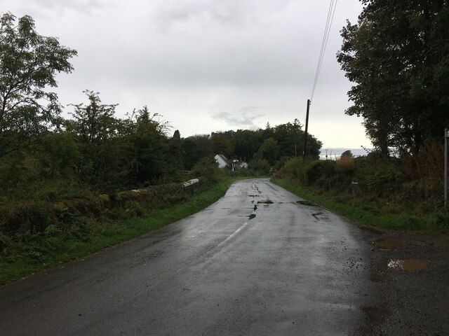
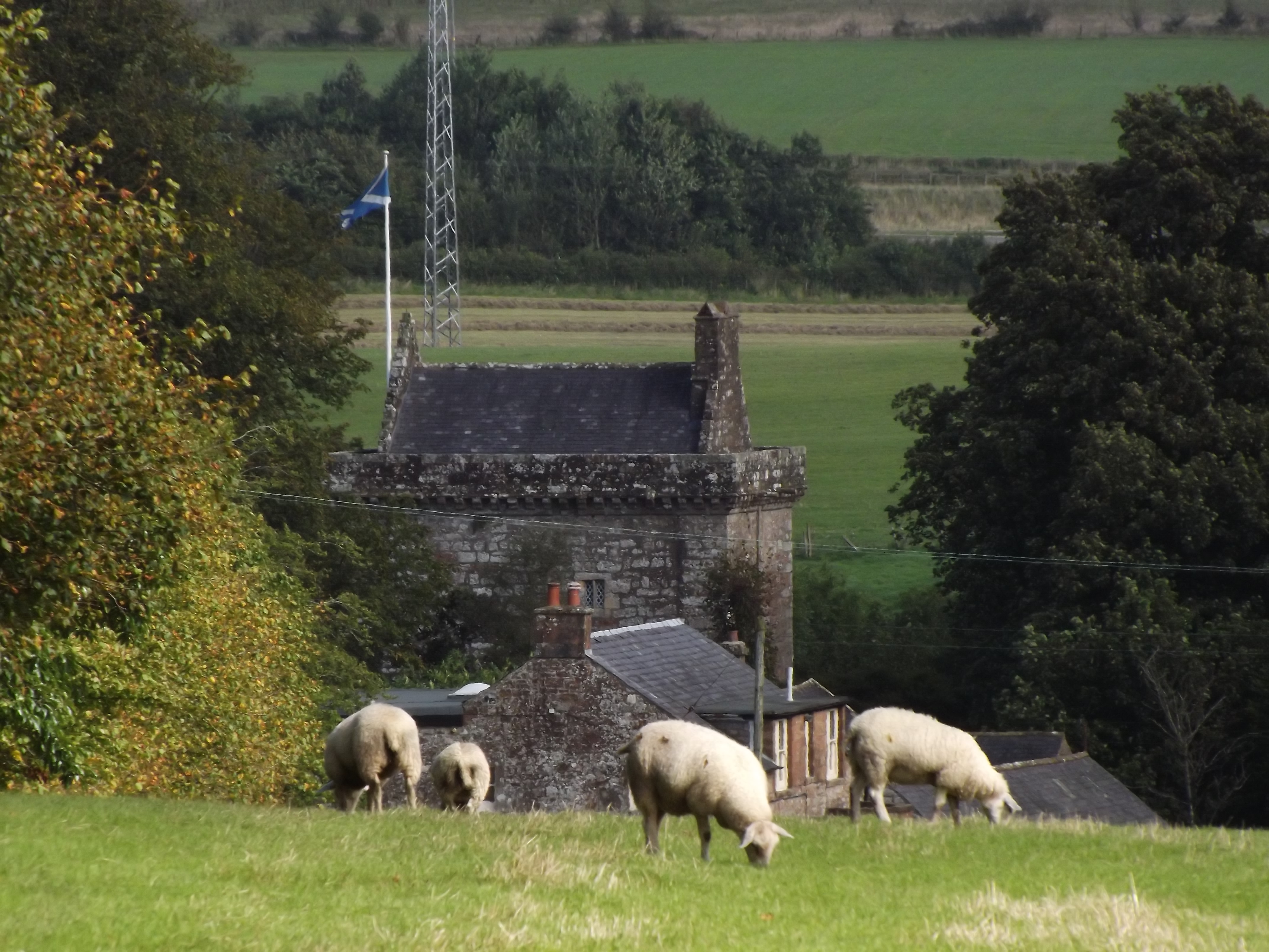
Images are sourced within 2km of 55.068/-3.167 or Grid Reference NY2575. Thanks to Geograph Open Source API. All images are credited.


Kirkconnel Church is located at Grid Ref: NY2575 (Lat: 55.068, Lng: -3.167)
Unitary Authority: Dumfries and Galloway
Police Authority: Dumfries and Galloway
What 3 Words
///helpers.fury.rationing. Near Eastriggs, Dumfries & Galloway
Nearby Locations
Related Wikis

Eaglesfield, Dumfries and Galloway
Eaglesfield is a village in south east Dumfriesshire in the local authority area of Dumfries and Galloway, Scotland. == History == Eaglesfield is of ancient...

Kirtlebridge
Kirtlebridge is a village in Dumfries and Galloway, southern Scotland. It is located 8 kilometres (5.0 mi) north-east of Annan, 5 kilometres (3.1 mi) north...

Kirtlebridge railway station
Kirtlebridge railway station was a station which served the rural area around Kirtlebridge and Eaglesfield, north of Annan in Dumfriesshire, Scotland;...

Kirtlebridge rail crash
The Kirtlebridge rail crash took place in 1872 at Kirtlebridge railway station in Dumfriesshire. An express passenger train ran into a goods train that...
Bonshaw Tower
Bonshaw Tower is an oblong tower house, probably dating from the mid-16th century, one mile south of Kirtlebridge, Dumfries and Galloway, Scotland, above...

Blatobulgium
Blatobulgium was a Roman fort, located at the modern-day site known as Birrens, in Dumfriesshire, Scotland. == Name == Blatobulgium is recorded in the...
Broadlea henge
Broadlea henge (grid reference NY 21946 74651) is a Neolithic or Bronze Age monument in the parish of Middlebie, Dumfries and Galloway. It is one of very...
Robgill Tower
Robgill Tower is a tower house near Kirkpatrick Fleming on the banks of the river Kirtle. It was one of a number of towers built along the border as protection...
Nearby Amenities
Located within 500m of 55.068,-3.167Have you been to Kirkconnel Church?
Leave your review of Kirkconnel Church below (or comments, questions and feedback).