Middle Harling

Settlement in Norfolk Breckland

England

Middle Harling

The Crescent
The Crescent Credit: P Gaskell

Middle Harling is a small village located in the county of Norfolk, England. Situated approximately 20 miles southwest of Norwich, it falls within the district of Breckland. The village is part of the civil parish of Harling, which also includes East Harling and West Harling.

Middle Harling is characterized by its picturesque rural setting, surrounded by beautiful countryside and farmland. The village itself is small, with a population of around 500 residents. It exudes a tranquil and peaceful atmosphere, making it an ideal place for those seeking a quiet and idyllic lifestyle.

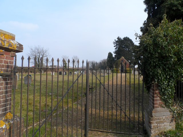
The village is known for its historic buildings, including St. Peter and St. Paul Church, which dates back to the 14th century. The church is a prominent feature in Middle Harling and adds to its charm and heritage.

Residents and visitors to Middle Harling can enjoy various amenities and facilities, such as a local convenience store, a primary school, and a village hall. The village also has a few pubs and restaurants that offer a warm and welcoming atmosphere.

Nature enthusiasts will appreciate the surrounding countryside, which provides ample opportunities for outdoor activities such as walking, cycling, and birdwatching. The nearby Thetford Forest Park, with its extensive woodland and recreational facilities, is a popular destination for locals and tourists alike.

Overall, Middle Harling offers a peaceful and close-knit community in a beautiful rural setting, making it an attractive place to live or visit for those seeking a quiet and charming village experience.

If you have any feedback on the listing, please let us know in the comments section below.

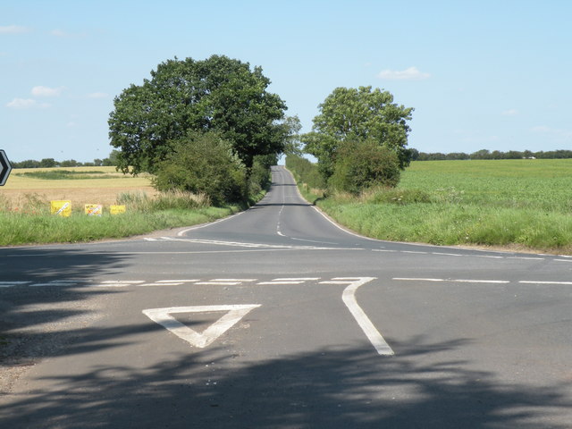
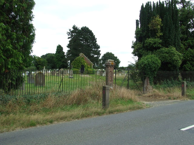
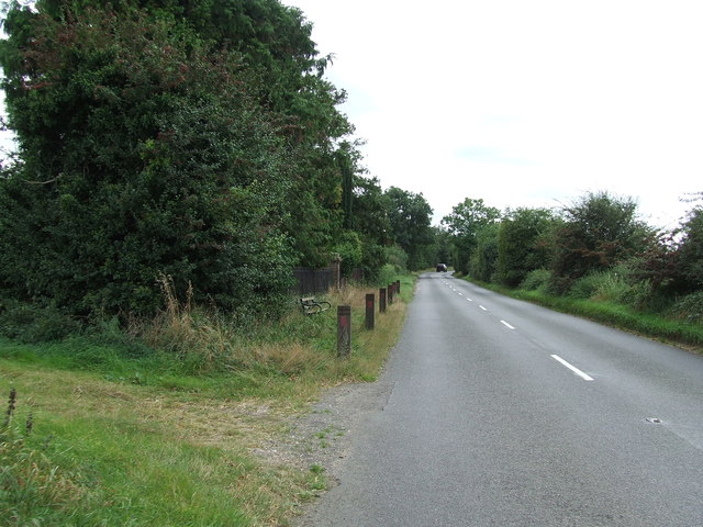
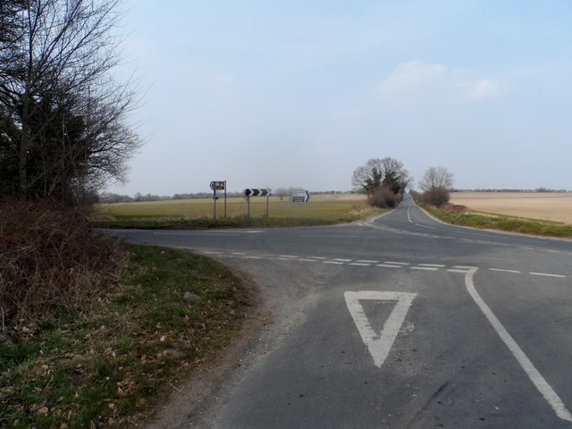
Middle Harling Images

Images are sourced within 2km of 52.431408/0.917727 or Grid Reference TL9885. Thanks to Geograph Open Source API. All images are credited.

The Crescent
The Crescent
St. Peter & St. Paul: the parish church of East Harling This beautiful church dates back to the 13th century.
St. Peter & St. Paul: the parish church of East Harling
This beautiful church dates back to the 13th century.
The village sign at East Harling
Road junction on the B1111 Five roads meet at this junction. The road straight ahead is Garboldisham Road and the section in view follows the course of a Roman road.
Road junction on the B1111
Five roads meet at this junction. The road straight ahead is Garboldisham Road and the section in view follows the course of a Roman road.
St Peter and St Paul East Harling The church of St Peter and St Paul East Harling, Norfolk. For info about the church see <span class="nowrap"><a title="http://www.norfolkchurches.co.uk/eastharling/eastharling.htm" rel="nofollow ugc noopener" href="http://www.norfolkchurches.co.uk/eastharling/eastharling.htm">Link</a><img style="margin-left:2px;" alt="External link" title="External link - shift click to open in new window" src="https://s1.geograph.org.uk/img/external.png" width="10" height="10"/></span>
St Peter and St Paul East Harling
The church of St Peter and St Paul East Harling, Norfolk. For info about the church see LinkExternal link
Village Sign The village sign at East Harling, Norfolk in the colours ready for London 2012 for close up view see <a title="https://www.geograph.org.uk/photo/3090931" href="https://www.geograph.org.uk/photo/3090931">Link</a>
Village Sign
The village sign at East Harling, Norfolk in the colours ready for London 2012 for close up view see Link
Village Sign The village sign at East Harling, Norfolk in the colours ready for London 2012 for overall view see <a title="https://www.geograph.org.uk/photo/3090926" href="https://www.geograph.org.uk/photo/3090926">Link</a>
Village Sign
The village sign at East Harling, Norfolk in the colours ready for London 2012 for overall view see Link
Lodge Marked on the 1:25:000 OS map as Lodge near to Middle Harling, Norfolk.
Lodge
Marked on the 1:25:000 OS map as Lodge near to Middle Harling, Norfolk.
Middle Farm Building at Middle Farm at Middle Harling, Norfolk.
Middle Farm
Building at Middle Farm at Middle Harling, Norfolk.
Cemetery Cemetery on the Garboldisham Road near to East Harling, Norfolk.
Cemetery
Cemetery on the Garboldisham Road near to East Harling, Norfolk.
Garboldisham Road Garboldisham Road with the cemetery on the left behind the railings near to East Harling, Norfolk. For view of the cemetery see <a title="https://www.geograph.org.uk/photo/3137647" href="https://www.geograph.org.uk/photo/3137647">Link</a>
Garboldisham Road
Garboldisham Road with the cemetery on the left behind the railings near to East Harling, Norfolk. For view of the cemetery see Link
Junction of B1111 with minor road near Seventeen Acre Plantation
Garboldisham Road cemetery
Market Street, East Harling
Fields on a frosty morning near East Harling The River Thet runs where the thicker band is in the centre of the image.
Fields on a frosty morning near East Harling
The River Thet runs where the thicker band is in the centre of the image.
East Harling Recreation Ground St Peter & St Paul's Church is behind.
East Harling Recreation Ground
St Peter & St Paul's Church is behind.
War memorial at East Harling
The Swan, East Harling One of two pubs in the village. This one is slightly more traditional. It sold a perfectly good Adnam's without sparkler.
The Swan, East Harling
One of two pubs in the village. This one is slightly more traditional. It sold a perfectly good Adnam's without sparkler.
Show me another place!

Middle Harling is located at Grid Ref: TL9885 (Lat: 52.431408, Lng: 0.917727)

Administrative County: Norfolk

District: Breckland

Police Authority: Norfolk

What 3 Words

///muscular.beakers.conductor. Near East Harling, Norfolk

Related Wikis

Middle Harling Fen

Middle Harling Fen is a 11.8-hectare (29-acre) biological Site of Special Scientific Interest south of East Harling in Norfolk.This calcareous valley fen...

All Saints Church, West Harling

All Saints Church, West Harling, is a redundant Anglican church in the civil parish of Harling, Norfolk, England. It is recorded in the National Heritage...

St Peter and St Paul, East Harling

St Peter and St Paul is a Grade I listed Church of England parish church in East Harling, Norfolk. It is part of Harling United Benefice, a group of five...

East Harling

East Harling is a village in the civil parish of Harling, in the Breckland district, in the county of Norfolk, England. It is the principal settlement...

Nearby Amenities

Located within 500m of 52.431408,0.917727
Middle Harling
Created By: POI Editor
Place: hamlet
Source: npe
Lat/Long: 52.4312621/0.9163821
Post Box
Collection Times: Mo-Fr 17:00; Sa 11:45
Post Box Design: 2010_pattern
Post Box Mounting: pier
Post Box Type: lamp
Ref: NR16 1656
Royal Cypher: EIIR
Royal Cypher Wikidata: Q33102113
Lat/Long: 52.4322785/0.9182374
Barrier: stile
Bicycle: no
Foot: yes
Material: wood
Stile: stepover
Lat/Long: 52.4304429/0.9217395
Barrier: stile
Bicycle: no
Foot: yes
Material: wood
Stile: stepover
Lat/Long: 52.4329327/0.9192472
Man Made: silo
Lat/Long: 52.434013/0.9224516
Man Made: silo
Lat/Long: 52.4341219/0.9227223
The data included in this document is from www.openstreetmap.org. The data is made available under ODbL.

Have you been to Middle Harling?

Leave your review of Middle Harling below (or comments, questions and feedback).