Kinsey Cave
Heritage Site in Yorkshire
England
Kinsey Cave

Kinsey Cave, located in the picturesque region of Yorkshire, England, is a revered heritage site renowned for its historical and geological significance. Nestled within the enchanting Yorkshire Dales National Park, this natural limestone cave has captivated visitors for centuries.
Measuring approximately 50 meters in length, Kinsey Cave boasts an intricate network of passages and caverns, offering a unique exploration opportunity for avid spelunkers and nature enthusiasts. The cave's formation can be traced back to the last Ice Age, when powerful glacial movements carved its distinctive features.
The cave's interior is adorned with mesmerizing stalagmites and stalactites, formed over thousands of years through the slow deposition of calcium-rich water. These breathtaking formations create an otherworldly ambiance, enhanced by the gentle drip of water echoing in the silence. The cave's atmospheric lighting further accentuates its natural beauty, creating an ethereal experience for visitors.
Kinsey Cave also holds great historical significance. Archaeological excavations have revealed evidence of human occupation dating back to the Neolithic period, providing valuable insights into the region's prehistoric inhabitants. The cave's discovery of ancient artifacts and tools has shed light on the daily lives and cultural practices of these early settlers.
Designated as a protected heritage site by the Yorkshire Dales National Park Authority, Kinsey Cave offers guided tours, ensuring both the preservation of its delicate ecosystem and the safety of visitors. These tours provide an educational experience, delving into the cave's geological and historical importance, while also highlighting the need for conservation efforts.
In conclusion, Kinsey Cave stands as a captivating heritage site, combining its natural beauty, geological wonders, and historical significance to offer a truly enriching experience for all who venture into its depths.
If you have any feedback on the listing, please let us know in the comments section below.
Kinsey Cave Images
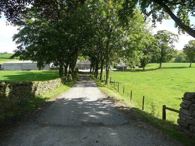
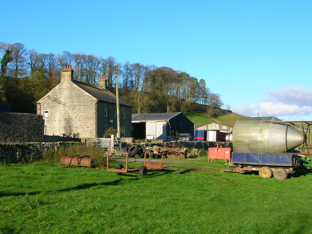
Images are sourced within 2km of 54.085/-2.298 or Grid Reference SD8065. Thanks to Geograph Open Source API. All images are credited.


Kinsey Cave is located at Grid Ref: SD8065 (Lat: 54.085, Lng: -2.298)
Division: West Riding
What 3 Words
///staging.prowl.witty. Near Settle, North Yorkshire
Nearby Locations
Related Wikis
Stackhouse, North Yorkshire
Stackhouse (sometimes written as Stack House), is a hamlet near to Giggleswick on the western bank of the River Ribble in North Yorkshire, England. �...

Giggleswick
Giggleswick, a village and civil parish in the Craven district of North Yorkshire, England, lies on the B6480 road, less than 1 mile (1.6 km) north-west...
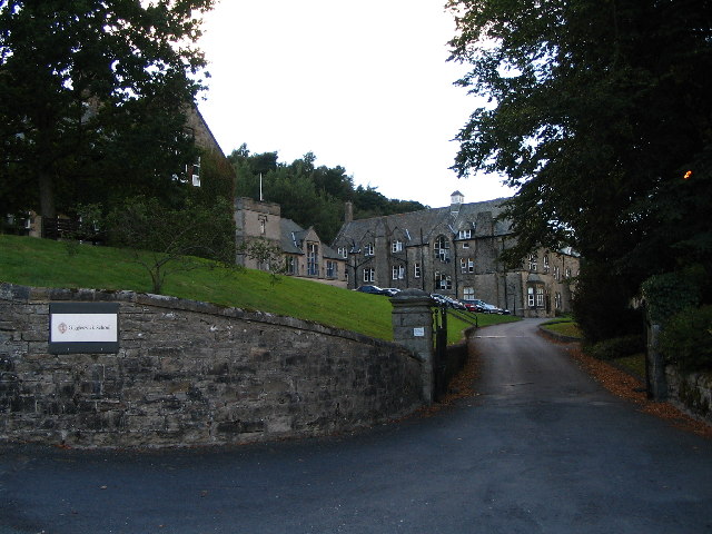
Giggleswick School
Giggleswick School is a public school (English private boarding and day school) in Giggleswick, near Settle, North Yorkshire, England. == Early school... ==
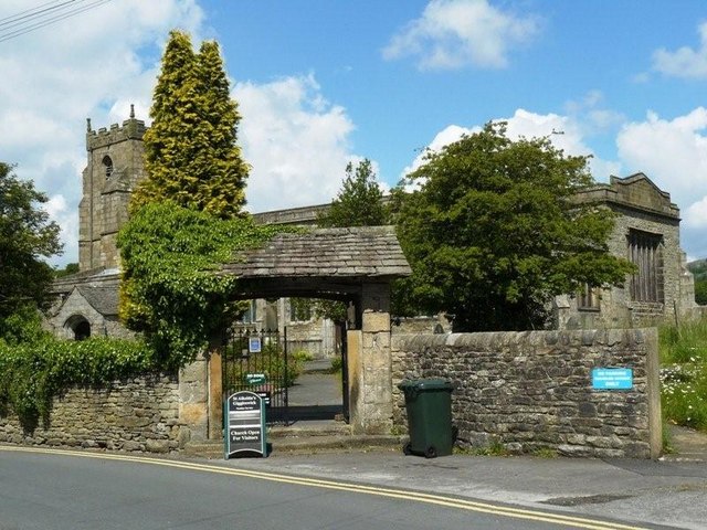
Church of St Alkelda, Giggleswick
The Church of St Alkelda, Giggleswick (historically St Alkald), is an Anglican church in the village of Giggleswick, North Yorkshire, England. St Alkelda...
Nearby Amenities
Located within 500m of 54.085,-2.298Have you been to Kinsey Cave?
Leave your review of Kinsey Cave below (or comments, questions and feedback).