King's Court Palace
Heritage Site in Dorset
England
King's Court Palace
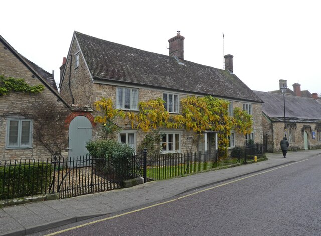
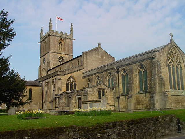
King's Court Palace is a historic heritage site located in Dorset, England. Dating back to the 14th century, it was originally a medieval manor house and later became a royal residence during the Tudor period. The palace is situated in a picturesque countryside setting, surrounded by rolling hills and lush greenery.
The architecture of King's Court Palace is a stunning example of medieval and Tudor design. The main building features a combination of stone and timber construction, with intricate carvings and decorative elements. The palace includes a central courtyard, surrounded by various wings and towers.
One of the key attractions of King's Court Palace is its beautiful gardens. The meticulously maintained gardens showcase a variety of plants, flowers, and topiary, reflecting the different periods of the palace's history. Visitors can explore the formal gardens, stroll along the winding paths, and enjoy the tranquil atmosphere.
Inside the palace, visitors can discover a wealth of historical artifacts and exhibits. The interiors are adorned with period furnishings, tapestries, and artwork, providing a glimpse into the opulent lifestyle of the royal residents. Guided tours are available, offering insights into the history and significance of each room.
King's Court Palace also hosts various events and activities throughout the year, including historical reenactments, concerts, and workshops. It provides a unique opportunity for visitors to immerse themselves in the rich heritage of the region and experience life as it was centuries ago.
Overall, King's Court Palace is a remarkable heritage site that offers a captivating journey through time. Its stunning architecture, picturesque gardens, and historical treasures make it a must-visit destination for history enthusiasts and nature lovers alike.
If you have any feedback on the listing, please let us know in the comments section below.
King's Court Palace Images
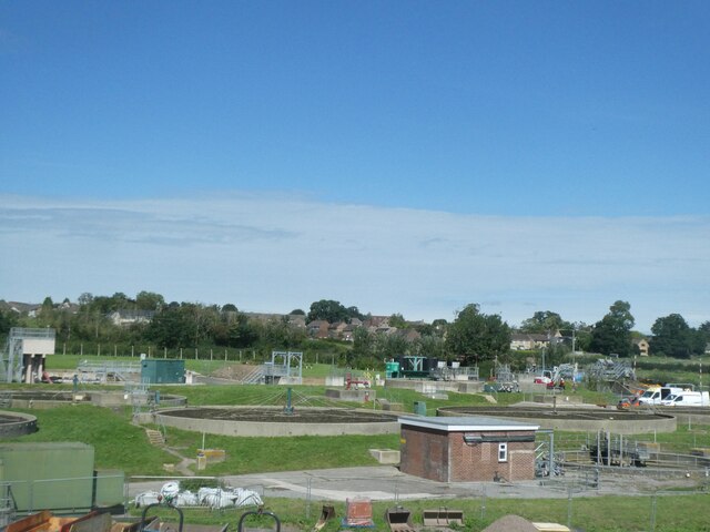
Images are sourced within 2km of 51.037/-2.263 or Grid Reference ST8126. Thanks to Geograph Open Source API. All images are credited.


King's Court Palace is located at Grid Ref: ST8126 (Lat: 51.037, Lng: -2.263)
Unitary Authority: Dorset
Police Authority: Dorset
What 3 Words
///stocks.warp.adapt. Near Gillingham, Dorset
Nearby Locations
Related Wikis
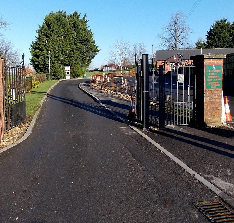
Gillingham School
Gillingham School is a coeducational school situated in Gillingham in North Dorset, England. Gillingham Grammar School can trace its foundation back to...

Gillingham Town F.C.
Gillingham Town Football Club is a football club based in Gillingham, Dorset, England. Affiliated to the Dorset FA, they are currently members of the Western...

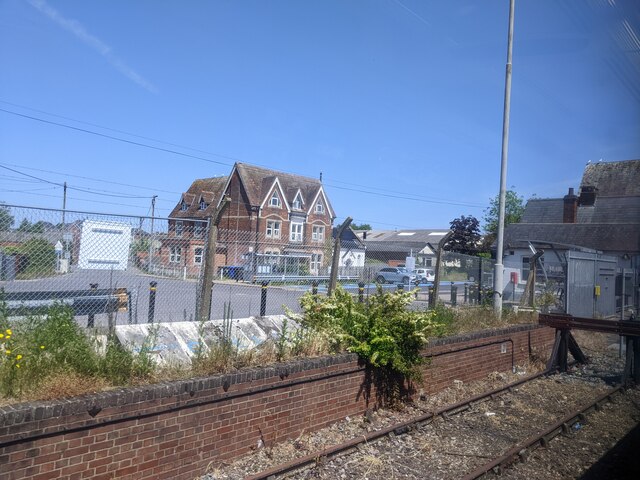
Gillingham railway station (Dorset)
Gillingham railway station is in Gillingham, Dorset, England. It is on the West of England Main Line, 105 miles 23 chains (169.4 km) down the line from...

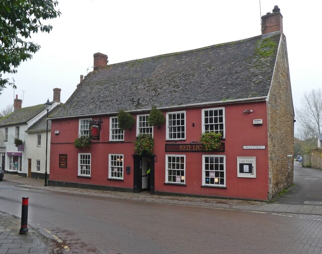
Gillingham, Dorset
Gillingham ( GHIL-ing-əm) is a town and civil parish in the Blackmore Vale area of Dorset, England. It lies on the B3095 and B3081 roads, approximately...
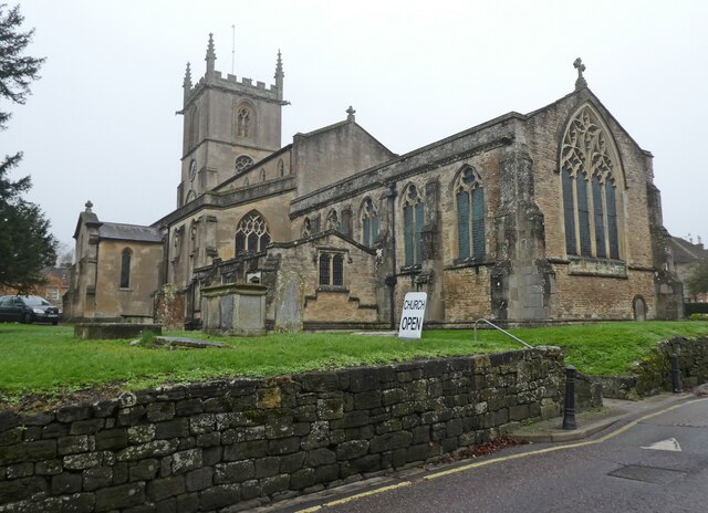
St Mary the Virgin, Gillingham, Dorset
St Mary's Church is the parish church for the town of Gillingham in the Blackmore Vale in the north of Dorset. The church is in the Diocese of Salisbury...
Gillingham (liberty)
Gillingham Liberty was a liberty in the county of Dorset, England, containing the following parishes: Bourton (from 1866) Gillingham Motcombe == See... ==

Bowridge Hill
Bowridge Hill is a hamlet 1 mile north east of Gillingham in Dorset, England, including the Grade II listed Lower Bowridge Hill Farmhouse, a 17th-century...

Peacemarsh
Peacemarsh is a section of the town of Gillingham in the north of the county of Dorset. It lies on the northern side of Gillingham, on the B3095 about...
Nearby Amenities
Located within 500m of 51.037,-2.263Have you been to King's Court Palace?
Leave your review of King's Court Palace below (or comments, questions and feedback).