Kelso Abbey
Heritage Site in Roxburghshire
Scotland
Kelso Abbey
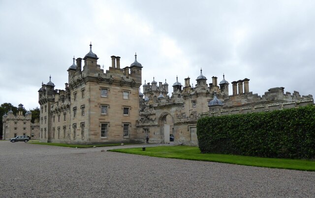
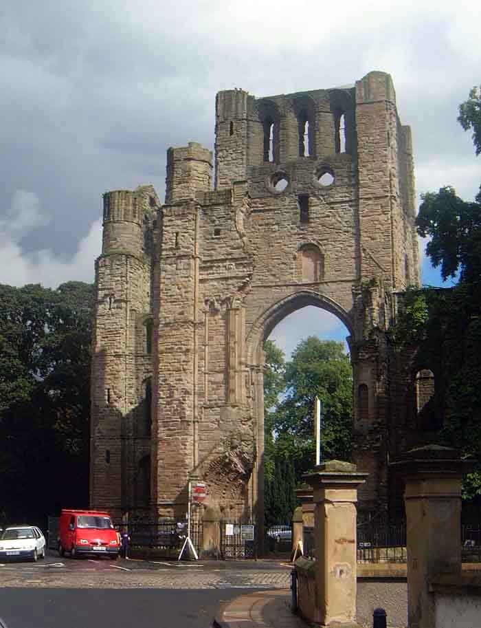
Kelso Abbey, situated in the town of Kelso, Roxburghshire, Scotland, is a historic site of immense cultural and architectural significance. It dates back to the 12th century and was founded by Tironensian monks from the Abbey of Tiron in France. Although now in ruins, the abbey remains an impressive example of medieval monastic architecture.
The abbey's original structure comprised a cruciform church with a central tower, along with a cloister and chapter house. Over the centuries, various extensions and additions were made, resulting in a complex of buildings that included a dormitory, library, and infirmary. The abbey's church was known for its grandeur, with a stunning west front featuring beautiful stained glass windows and intricate stone carvings.
Kelso Abbey played a significant role in Scottish history, serving as a place of worship, learning, and political power. It was frequently visited by Scottish kings, and several notable figures, including William Wallace and Robert the Bruce, are said to have sought refuge within its walls. The abbey was also a major center for trade and commerce, thanks to its location on the banks of the River Tweed.
Unfortunately, much of Kelso Abbey fell into disrepair after the Scottish Reformation in the 16th century. The Dissolution of the Monasteries led to its abandonment and subsequent destruction. Today, visitors can explore the remains of the abbey and marvel at its surviving architectural features, including the intricate stonework and the impressively preserved west front. Kelso Abbey stands as a testament to Scotland's rich medieval heritage and continues to captivate visitors with its historical significance.
If you have any feedback on the listing, please let us know in the comments section below.
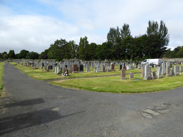
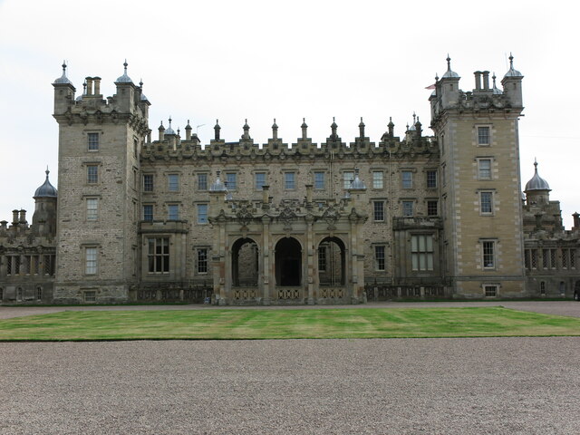
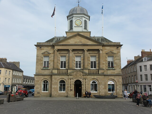
Kelso Abbey Images
Images are sourced within 2km of 55.595/-2.437 or Grid Reference NT7233. Thanks to Geograph Open Source API. All images are credited.


Kelso Abbey is located at Grid Ref: NT7233 (Lat: 55.595, Lng: -2.437)
Unitary Authority: The Scottish Borders
Police Authority: The Lothians and Scottish Borders
What 3 Words
///routs.crabmeat.cone. Near Kelso, Scottish Borders
Nearby Locations
Related Wikis
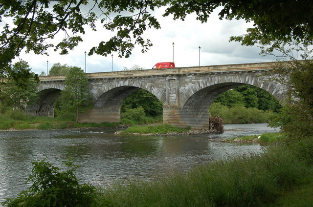
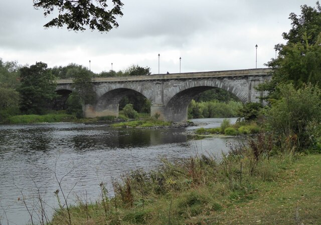
Kelso Bridge
The Kelso Bridge or Rennie's Bridge is a bridge across the River Tweed at Kelso, in the Scottish Borders. == History == === Old bridge === The first bridge...
Kelso Abbey
Kelso Abbey is a ruined Scottish abbey in Kelso, Scotland. It was founded in the 12th century by a community of Tironensian monks first brought to Scotland...

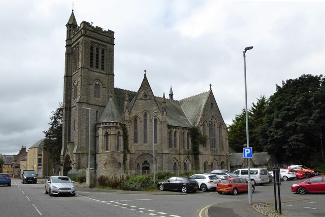
Kelso Town Hall
Kelso Town Hall is a municipal building in The Square, Kelso, Scotland. The building, which was the headquarters of Kelso Burgh Council, is a Category...

Kelso, Scottish Borders
Kelso is a market town in the Scottish Borders area of Scotland. Within the boundaries of the historic county of Roxburghshire, it lies where the rivers...

Corn Exchange, Kelso
The Corn Exchange is a commercial building in Woodmarket, Kelso, Scottish Borders, Scotland. The structure, which accommodates a health clinic, a dental...

Kelso railway station
Kelso railway station served the town of Kelso, Scottish Borders, Scotland from 1851 to 1964 on the Kelso Line. == History == The station opened on 27...

Kelso Hospital
Kelso Hospital, also known as Inch Hospital, is a health facility at Inch Road in Kelso, Scotland. It is managed by NHS Borders. == History == The hospital...
Roxburgh
Roxburgh () is a civil parish and formerly a royal burgh, in the historic county of Roxburghshire in the Scottish Borders, Scotland. It was an important...
Nearby Amenities
Located within 500m of 55.595,-2.437Have you been to Kelso Abbey?
Leave your review of Kelso Abbey below (or comments, questions and feedback).