Joiners' Hall
Heritage Site in Wiltshire
England
Joiners' Hall
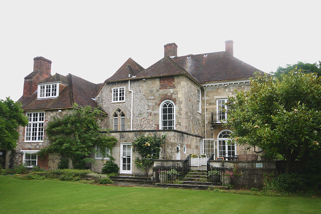
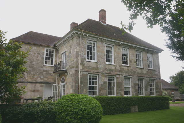
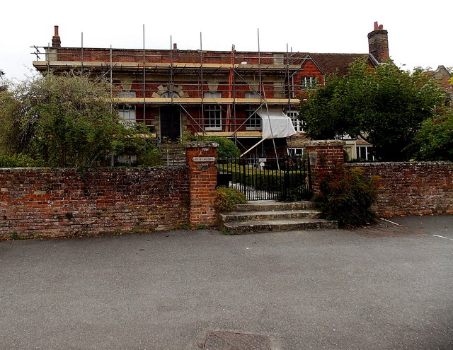
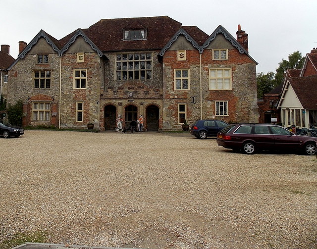
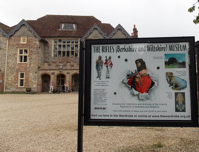
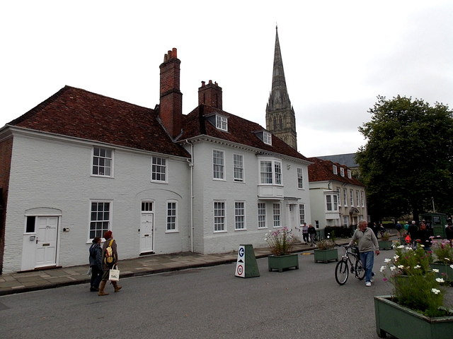
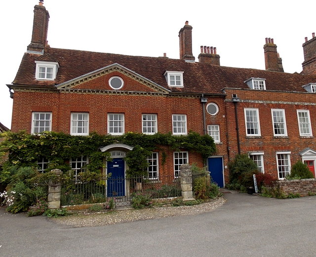
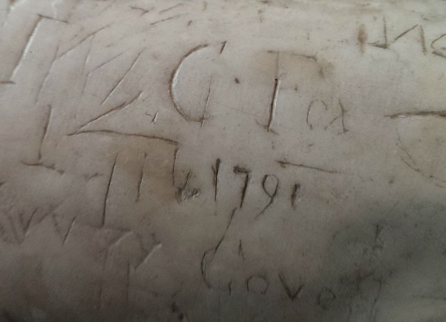
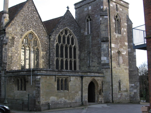
Joiners' Hall is a historic building located in the picturesque county of Wiltshire, England. This architectural gem is a designated heritage site, known for its significant historical and cultural value. Built in the early 17th century, the hall served as a gathering place for local joiners, carpenters, and craftsmen.
The hall's exterior showcases a charming blend of Jacobean and Gothic architectural styles. Its striking façade, adorned with intricate carvings and elaborate stone work, is a testament to the craftsmanship of the era. The building's well-preserved timber frame is a remarkable example of traditional joinery techniques.
Inside, Joiners' Hall boasts an impressive main hall, which was once a hub of activity for the local joiners' guild. The space is adorned with ornate wood paneling, creating a warm and inviting atmosphere. The hall also features a grand fireplace, adding to its historic charm.
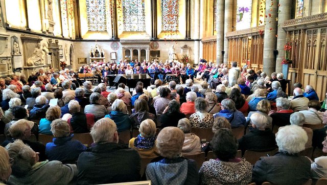
Today, Joiners' Hall serves as a popular venue for various events, including weddings, conferences, and cultural exhibitions. Visitors can explore the building's rich history through guided tours, which provide insight into the hall's significance within the community and its role in preserving traditional craftsmanship.
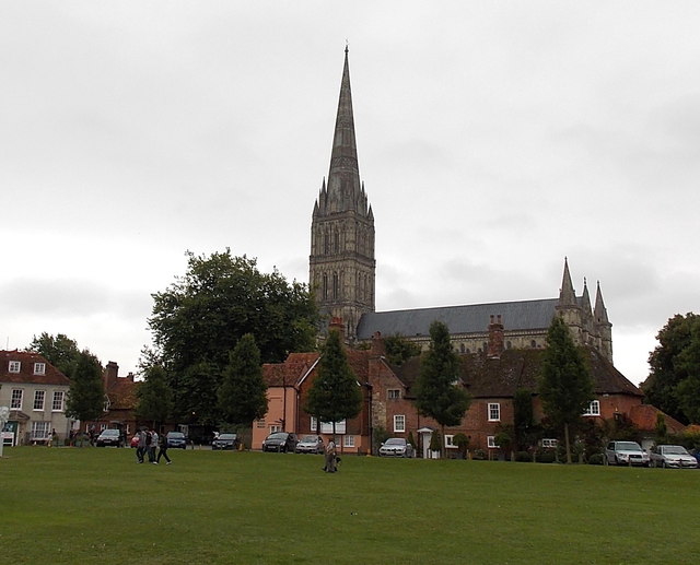
The hall's picturesque location in the heart of Wiltshire offers visitors a chance to experience the county's natural beauty and historical attractions. With its unique blend of architectural styles, rich history, and scenic surroundings, Joiners' Hall stands as a true testament to Wiltshire's cultural heritage.
If you have any feedback on the listing, please let us know in the comments section below.
Joiners' Hall Images
Images are sourced within 2km of 51.066/-1.79 or Grid Reference SU1429. Thanks to Geograph Open Source API. All images are credited.

Joiners' Hall is located at Grid Ref: SU1429 (Lat: 51.066, Lng: -1.79)
Unitary Authority: Wiltshire
Police Authority: Wiltshire
What 3 Words
///speak.adopt.robots. Near Salisbury, Wiltshire
Nearby Locations
Related Wikis

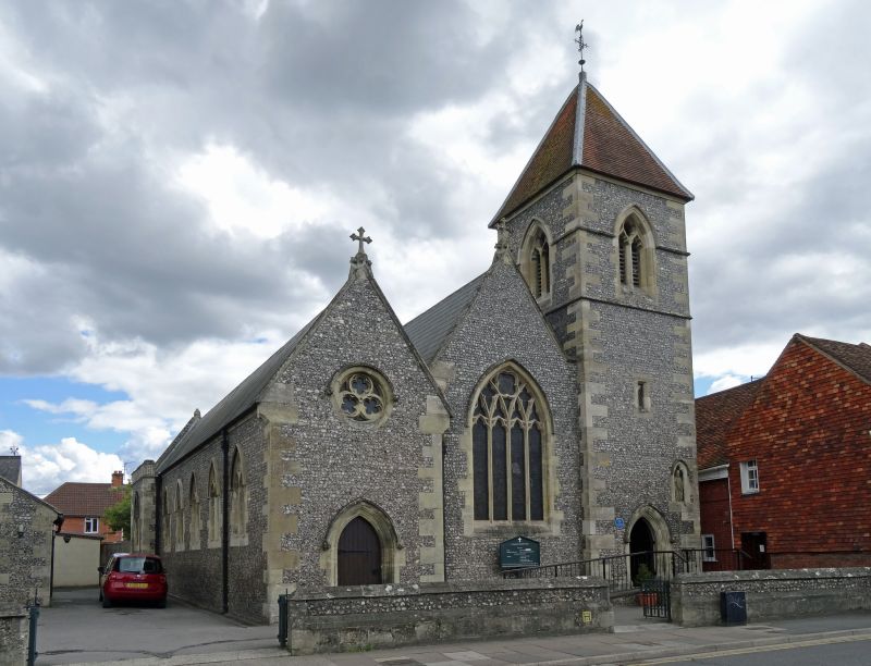
Salisbury Grey Friary
Salisbury Grey Friary was a friary in Wiltshire, England between the 1230s and 1538. The Franciscan Grey Friars came to England in 1224, and by 1230...
Church of St Martin, Salisbury
The Church of St Martin, also known as Sarum St Martin, is a Church of England parish church in Salisbury, Wiltshire, England. The church dates from the...
Bugmore
Bugmore was an area of the city of Salisbury, Wiltshire, England, to the east of Exeter Street and south of St. Anns Street. It is now occupied by the...

The Bell and Crown, Salisbury
The Bell and Crown Inn, until April 2019 called The Cloisters, is a Grade II* listed public house in Catherine Street, Salisbury, Wiltshire, England. It...
St Osmund's Church, Salisbury
St Osmund's Church is a Roman Catholic church in Salisbury, Wiltshire, England. It was designed by Augustus Pugin in the Gothic Revival style and built...
Salisbury Sixth Form College
Salisbury Sixth Form College (S6C) is a free school sixth form in the city of Salisbury in the English county of Wiltshire.The college was established...
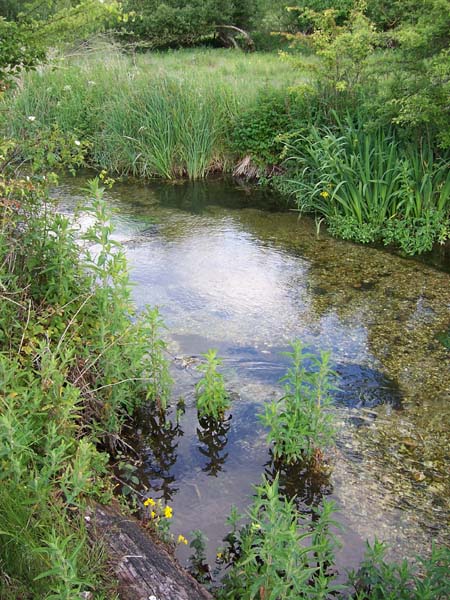
River Bourne, Wiltshire
The River Bourne is a river in the English county of Wiltshire, a tributary of the Salisbury Avon. It flows in a generally southerly direction for about...
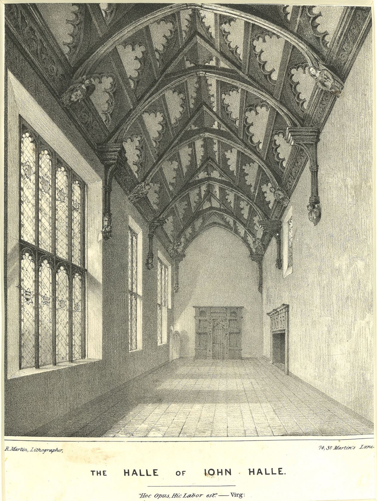
John Halle's Hall
John Halle's Hall is a 15th-century late medieval building, a hall house, in Salisbury, England, with later 16th-, 19th- and 20th-century additions. The...
Nearby Amenities
Located within 500m of 51.066,-1.79Have you been to Joiners' Hall?
Leave your review of Joiners' Hall below (or comments, questions and feedback).