Irmingland Hall

Heritage Site in Norfolk Broadland

England

Irmingland Hall

The Church of St Peter and St Paul at Oulton Church and churchyard
The Church of St Peter and St Paul at Oulton Credit: P Gaskell

Irmingland Hall, located in the county of Norfolk, England, is a historic mansion that holds significant cultural and architectural importance. The hall is a Grade I listed building and is recognized as a heritage site due to its rich history and distinctive features.

Dating back to the 17th century, Irmingland Hall was originally constructed for the prominent Walpole family, who were influential landowners in the region. The mansion showcases a stunning example of Jacobean architecture, characterized by its symmetrical design, decorative gables, and ornate chimneys. The red brick exterior of the building adds to its visual appeal and timeless elegance.

The interior of Irmingland Hall is equally magnificent, boasting a grand entrance hall, spacious reception rooms, and a remarkable oak staircase. The mansion also features exquisite woodwork, intricate plasterwork, and intricate ceiling decorations, all showcasing the craftsmanship of the era.

Surrounding the hall, the estate encompasses extensive gardens and parkland, which have been meticulously maintained over the centuries. The parkland includes a lake, woodlands, and formal gardens, offering visitors a picturesque setting to explore and enjoy.

Today, Irmingland Hall remains a privately owned property and is not open to the public. However, its historical significance and architectural beauty make it a notable landmark in Norfolk. The hall's preservation as a heritage site ensures its cultural legacy is protected for future generations to appreciate and admire.

If you have any feedback on the listing, please let us know in the comments section below.

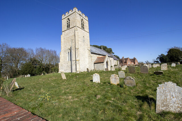
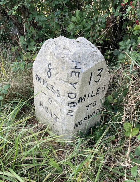
Irmingland Hall Images

Images are sourced within 2km of 52.82/1.153 or Grid Reference TG1229. Thanks to Geograph Open Source API. All images are credited.
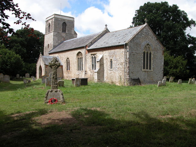
The Church of St Peter and St Paul at Oulton Church and churchyard
The Church of St Peter and St Paul at Oulton
Church and churchyard
Spink's Lane Spink's Lane public right of way
Spink's Lane
Spink's Lane public right of way
Corpusty, Valley Farm: The farmhouse
Old Milestone by the B1149, south west of Oulton Carved stone post by the B1149, in parish of Heydon (Broadland District), about 250yds South of lodge to Heydon Hall, on the verge backed by field, on West side of road. Holt diamond, erected by an unknown authority in the 18th century. 

Inscription reads:-
: 8 / MILES / TO / HOLT : : HEYDON : : 13 / MILES / TO / NORWICH : 
Carved benchmark on top noted in 1984, but removed by damage.

Norfolk HER listed.
NHER Number: 56454 <span class="nowrap"><a title="https://www.heritagegateway.org.uk/Gateway/Results_Single.aspx?uid=MNF62864&resourceID=1002" rel="nofollow ugc noopener" href="https://www.heritagegateway.org.uk/Gateway/Results_Single.aspx?uid=MNF62864&resourceID=1002">Link</a><img style="margin-left:2px;" alt="External link" title="External link - shift click to open in new window" src="https://s1.geograph.org.uk/img/external.png" width="10" height="10"/></span>

Milestone Society National ID: NO_NH13
Old Milestone by the B1149, south west of Oulton
Carved stone post by the B1149, in parish of Heydon (Broadland District), about 250yds South of lodge to Heydon Hall, on the verge backed by field, on West side of road. Holt diamond, erected by an unknown authority in the 18th century. Inscription reads:- : 8 / MILES / TO / HOLT : : HEYDON : : 13 / MILES / TO / NORWICH : Carved benchmark on top noted in 1984, but removed by damage. Norfolk HER listed. NHER Number: 56454 LinkExternal link Milestone Society National ID: NO_NH13
Church of St Andrew
Church of St Andrew
Corpusty: Field after hay has been cut
B1149 Norwich Road, Corpusty At the junction with The Street
B1149 Norwich Road, Corpusty
At the junction with The Street
The Street, Corpusty Looking towards the junction with Station Road at the junction with the B1149 Norwich Road
The Street, Corpusty
Looking towards the junction with Station Road at the junction with the B1149 Norwich Road
The Street, Corpusty At the junction with Station Road
The Street, Corpusty
At the junction with Station Road
Corpusty & Saxthorpe Village Sign Off the B1149 Norwich Road at the junction with The Street
Corpusty & Saxthorpe Village Sign
Off the B1149 Norwich Road at the junction with The Street
Corpusty & Saxthorpe Village Sign Off the B1149 Norwich Road at the junction with The Street
Corpusty & Saxthorpe Village Sign
Off the B1149 Norwich Road at the junction with The Street
Footpath to Corpusty Mill Off the B1149 Norwich Road at the junction with The Street
Footpath to Corpusty Mill
Off the B1149 Norwich Road at the junction with The Street
Roadsign on The Street At the junction with B1149 Norwich Road
Roadsign on The Street
At the junction with B1149 Norwich Road
Spar Shop & The Street Post Office Postbox On The Street at the junction with the B1149 Norwich Road
Postbox No.NR11 1123
Spar Shop & The Street Post Office Postbox
On The Street at the junction with the B1149 Norwich Road Postbox No.NR11 1123
The Street Post Office Postbox On The Street at the junction with the B1149 Norwich Road
Postbox No.NR11 1123
The Street Post Office Postbox
On The Street at the junction with the B1149 Norwich Road Postbox No.NR11 1123
The Street Post Office Postbox On The Street at the junction with the B1149 Norwich Road
Postbox No.NR11 1123
The Street Post Office Postbox
On The Street at the junction with the B1149 Norwich Road Postbox No.NR11 1123
Corpusty & Saxthorpe Village Notice Board On The Street at the junction with the B1149 Norwich Road
Corpusty & Saxthorpe Village Notice Board
On The Street at the junction with the B1149 Norwich Road
Corpusty Mill A view of the mill building. This is currently empty but maintained. The traditional mill machinery was removed in 1939. An Crossley oil engine was installed in the 1930s powering an animal feed plant. Milling ceased in the mid 1960s and the building is preserved.

<a href="https://www.geograph.org.uk/photo/2150969">TG1130 : The water mill at Corpusty</a>]
Corpusty Mill
A view of the mill building. This is currently empty but maintained. The traditional mill machinery was removed in 1939. An Crossley oil engine was installed in the 1930s powering an animal feed plant. Milling ceased in the mid 1960s and the building is preserved. TG1130 : The water mill at Corpusty]
Show me another place!

Irmingland Hall is located at Grid Ref: TG1229 (Lat: 52.82, Lng: 1.153)

Administrative County: Norfolk

District: Broadland

Police Authority: Norfolk

What 3 Words

///chaos.jetting.dentistry. Near Cawston, Norfolk

Nearby Locations

Irmingland Hall The Grove

Related Wikis

Oulton, Norfolk

Oulton is a village and civil parish in Norfolk, England. Nearby towns are Reepham and Aylsham. The parish covers an area of 10.58 km2 (4.08 sq mi) and...

Saxthorpe

Saxthorpe is a village in Norfolk, England. The village is 12 miles (19 km) west south west of Cromer and 16.3 miles (26.2 km) north north west of Norwich...

Corpusty and Saxthorpe railway station

Corpusty and Saxthorpe railway station was a railway station in the North Norfolk village of Corpusty. It was opened by the Eastern & Midlands Railway...

Itteringham

Itteringham is a village and civil parish in the English county of Norfolk, some 4+1⁄2 miles (7.2 km) northwest of the market town of Aylsham. It covers...

Related Videos

ENGLISH VILLAGE TOUR | Christmas at Heydon Norfolk

English Village Tour Christmas at Heydon, Norfolk Enjoy a tour of the historic English Village of Heydon in deepest rural Norfolk.

Nearby Amenities

Located within 500m of 52.82,1.153
Power: pole
Lat/Long: 52.8170486/1.1577016
Power: pole
Lat/Long: 52.8179847/1.154342
Power: pole
Lat/Long: 52.8180321/1.1574465
Power: pole
Lat/Long: 52.8191493/1.1546599
Power: pole
Lat/Long: 52.8203658/1.1549633
Power: pole
Lat/Long: 52.822493/1.1567409
Power: pole
Lat/Long: 52.8225026/1.1563011
Power: pole
Lat/Long: 52.823358/1.1565994
Power: pole
Lat/Long: 52.8239118/1.1561196
Note: Way continues towards west
Lat/Long: 52.8198749/1.1490415
Irmingland
Place: hamlet
Lat/Long: 52.8219232/1.1496376
The data included in this document is from www.openstreetmap.org. The data is made available under ODbL.

Have you been to Irmingland Hall?

Leave your review of Irmingland Hall below (or comments, questions and feedback).