Icknield Way
Heritage Site in Oxfordshire
England
Icknield Way

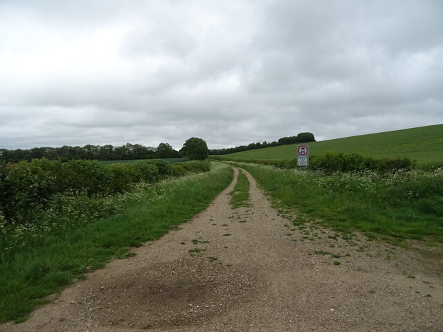
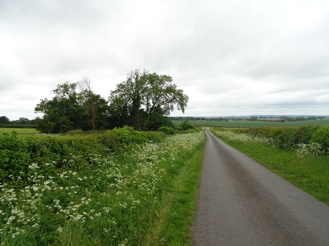
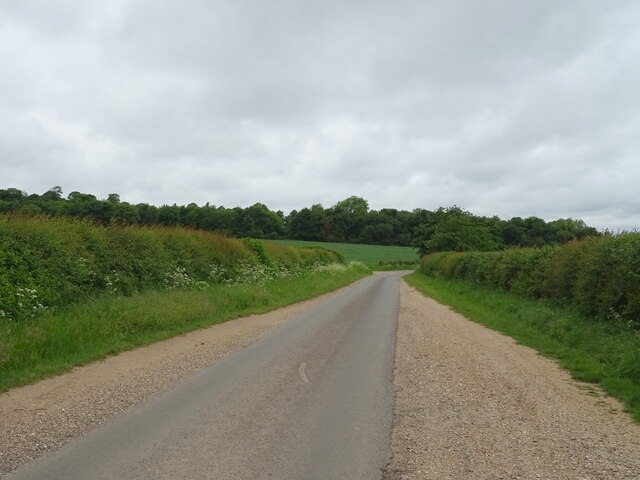
Icknield Way is a historic route located in Oxfordshire, England. It stretches approximately 110 miles and is considered one of the oldest and longest prehistoric pathways in the country. The name "Icknield Way" is derived from the Old English word "Ickeneild" meaning "the path of Iceni", the ancient tribe who once inhabited the area.
This heritage site offers a unique glimpse into the past, as it has been traced back to at least 2,500 years ago. The path is believed to have originated during the late Bronze Age and has been used by various civilizations throughout history, including the Romans and Saxons. It served as a significant trading and communication route, connecting important settlements and landmarks.
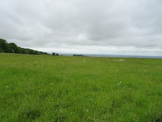
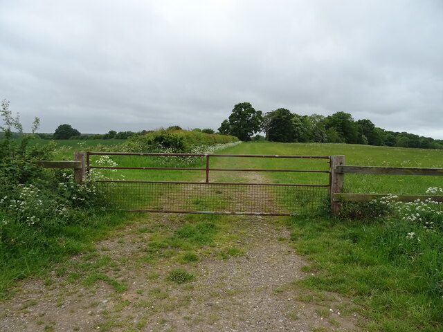
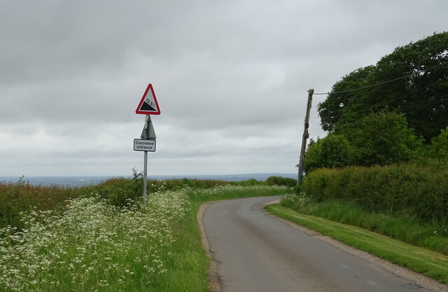
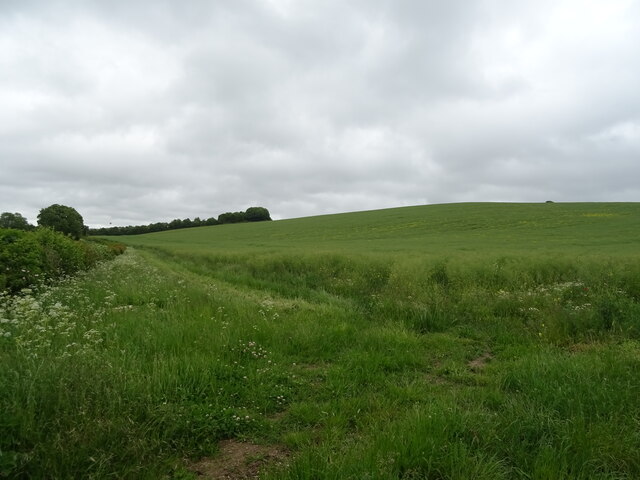
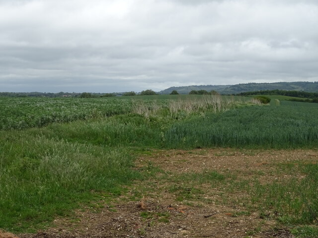
Today, Icknield Way remains an important archaeological site and a popular destination for hikers, walkers, and history enthusiasts. The route showcases a diverse range of landscapes, including rolling hills, open fields, and ancient woodlands. It passes through picturesque villages, such as Wantage, Didcot, and Chinnor, providing visitors with a chance to explore the local culture and heritage.
The pathway is dotted with numerous historic landmarks, including burial mounds, hillforts, and ancient barrows. Notable sites along the way include the Uffington White Horse, a prehistoric chalk figure, and Wayland's Smithy, a Neolithic long barrow. These sites offer a fascinating insight into the rituals and beliefs of the people who once traversed this ancient path.
Overall, Icknield Way in Oxfordshire stands as a testament to the rich history and heritage of the region. Its ancient origins, scenic beauty, and cultural significance make it a captivating destination for those interested in exploring the past.
If you have any feedback on the listing, please let us know in the comments section below.
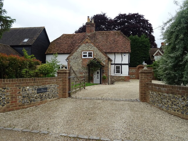
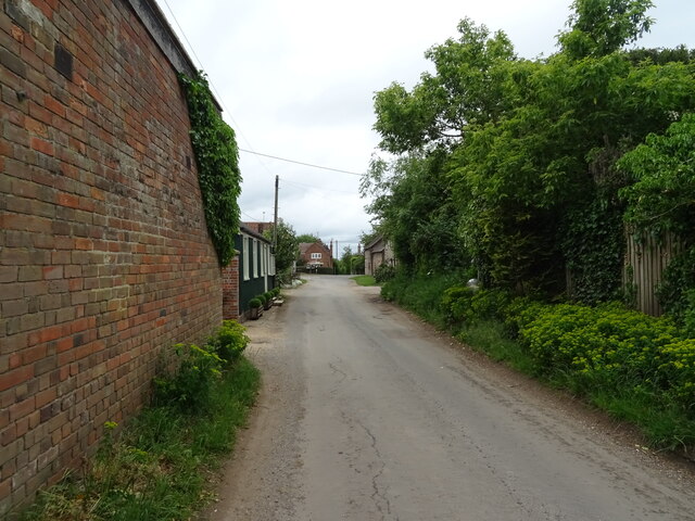
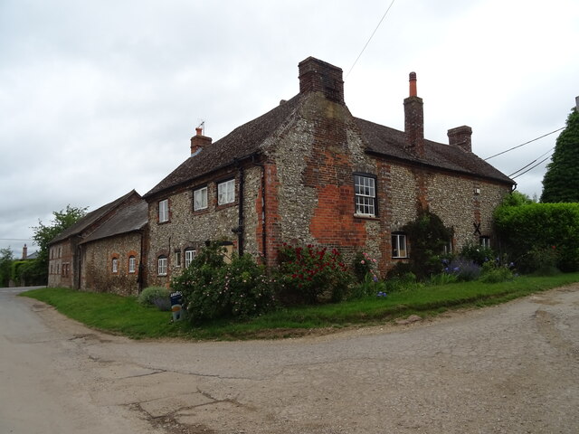
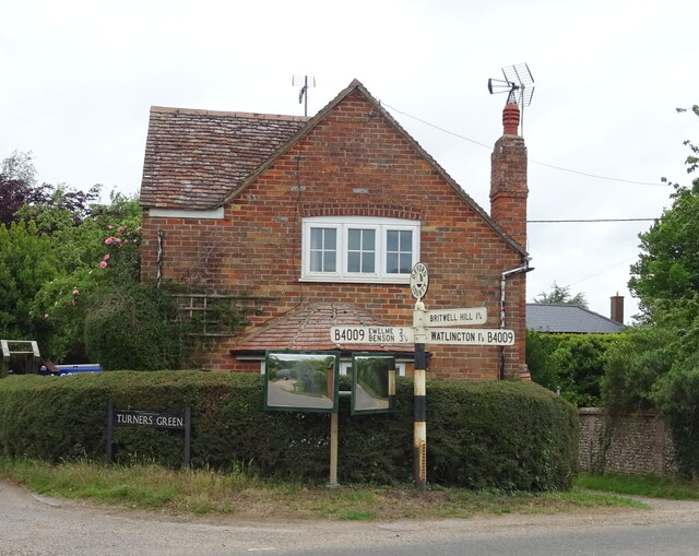
Icknield Way Images
Images are sourced within 2km of 51.627/-1.01 or Grid Reference SU6892. Thanks to Geograph Open Source API. All images are credited.


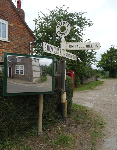
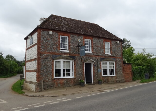
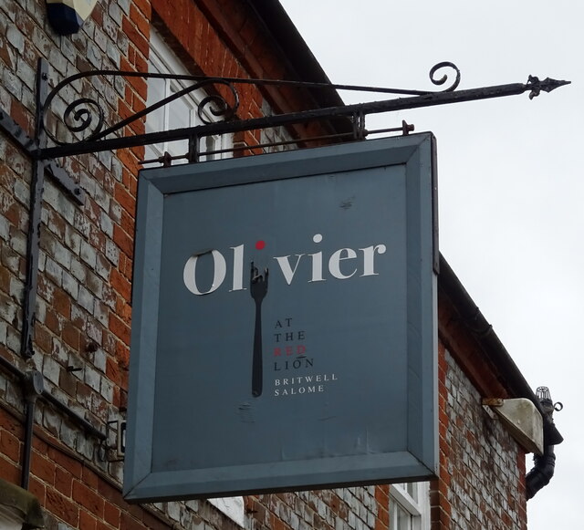
Icknield Way is located at Grid Ref: SU6892 (Lat: 51.627, Lng: -1.01)
What 3 Words
///mixes.bootleg.span. Near Watlington, Oxfordshire
Nearby Locations
Related Wikis

Swyncombe Downs
Swyncombe Downs is a 47.1-hectare (116-acre) biological Site of Special Scientific Interest east of Wallingford in Oxfordshire.This is an area of chalk...

Britwell Salome
Britwell Salome is a village and civil parish in South Oxfordshire, England centred 4+1⁄2 miles (7 km) northeast of Wallingford. The 2011 Census recorded...

Watlington Chalk Pit
Watlington Chalk Pit is a 1.6-hectare (4.0-acre) Local Nature Reserve east of Watlington in Oxfordshire. It is owned by South Oxfordshire District Council...

Watlington Park
Watlington Park is an English country house with its surrounding grounds of approximately 500 acres (200 ha), located atop an escarpment in the Chiltern...
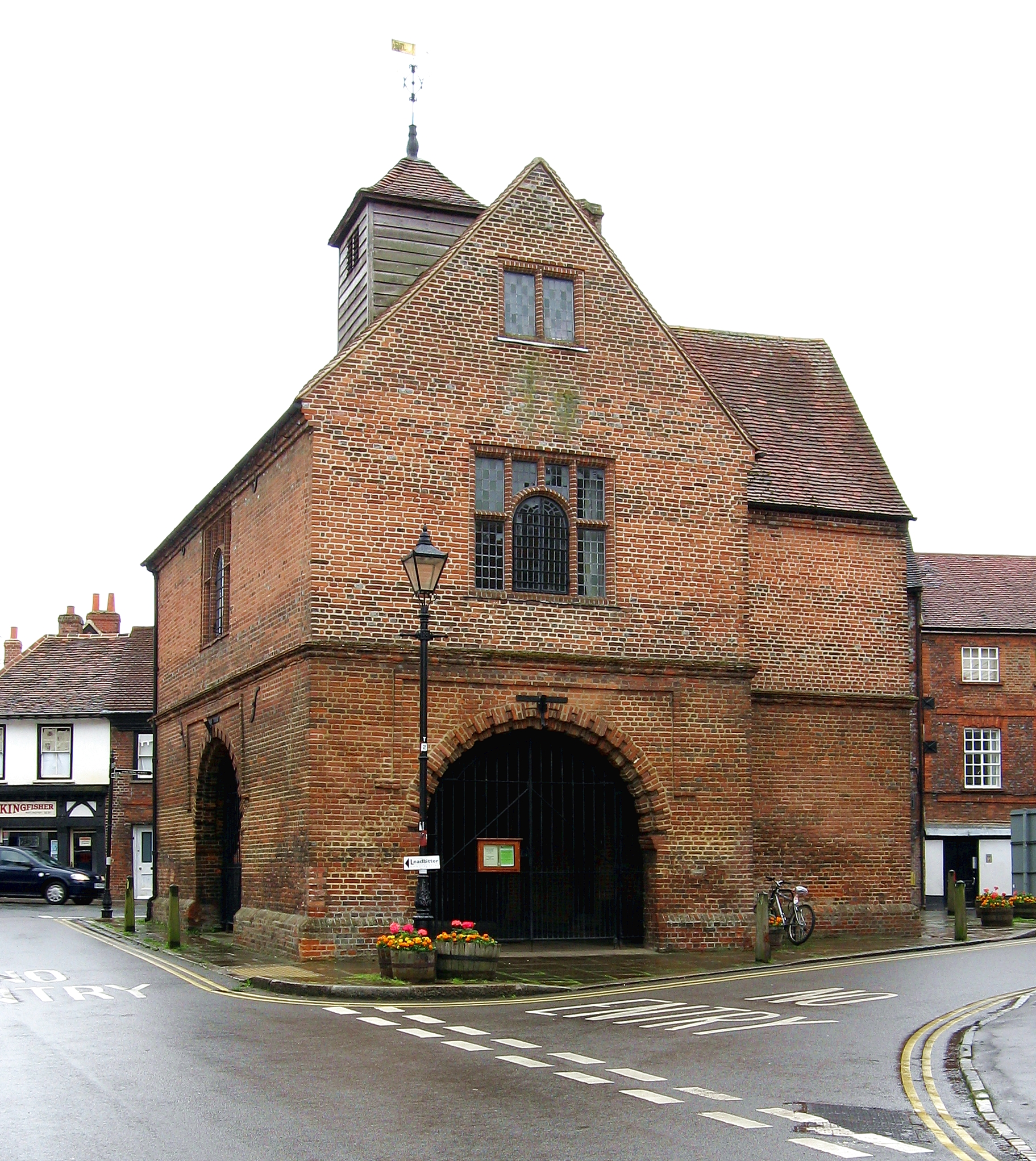
Watlington, Oxfordshire
Watlington is a small market town and civil parish about 7 miles (11 km) south of Thame in Oxfordshire, near the county's eastern edge and less than 2...
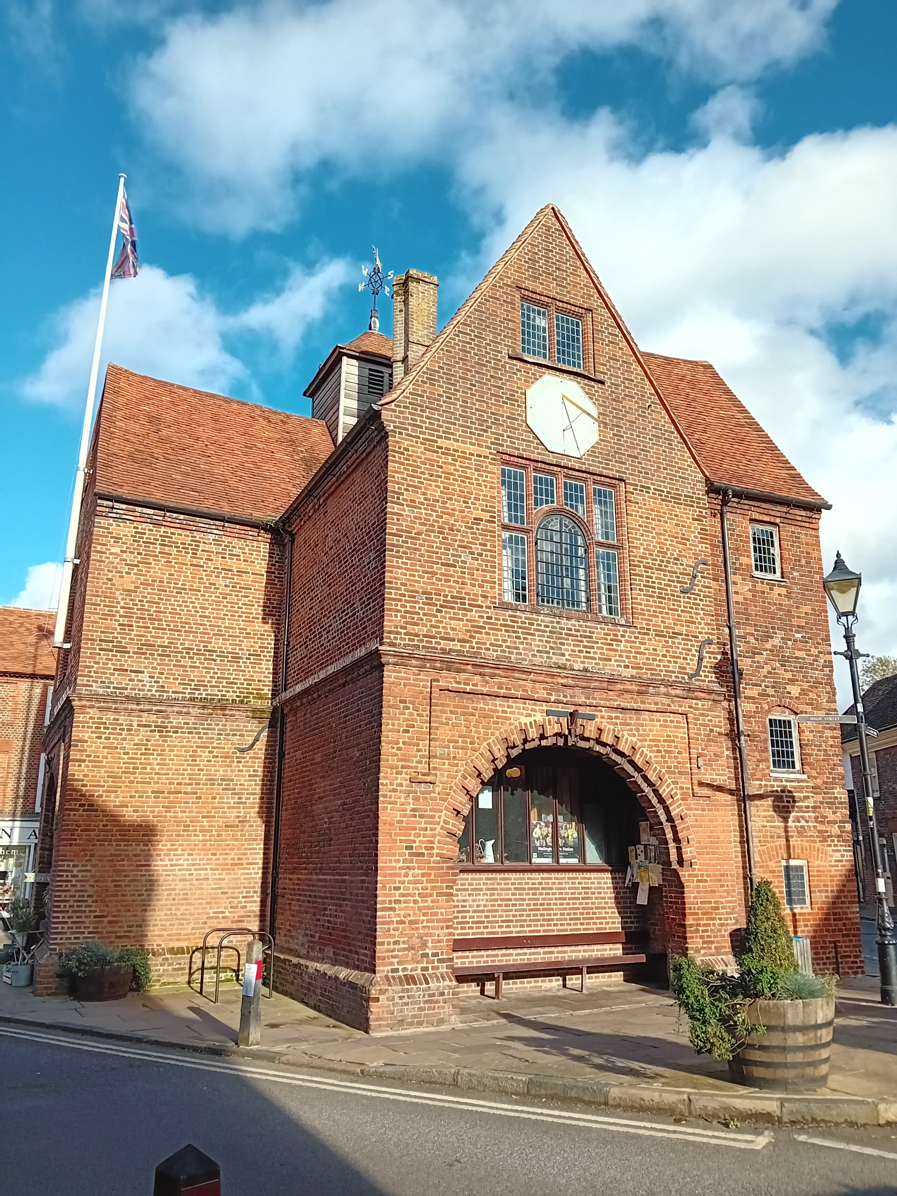
Watlington Town Hall
Watlington Town Hall is a municipal building in the High Street in Watlington, Oxfordshire, England. The building, which is used as a community events...
Orange Bakery
Orange Bakery is an artisanal bakery and baked goods shop located in Watlington, Oxfordshire, UK. It was started in 2019 by Kitty Tait with the help of...
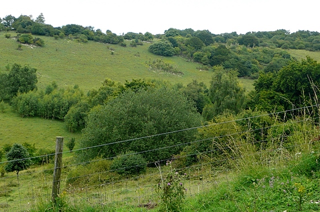
Watlington and Pyrton Hills
Watlington and Pyrton Hills is a 112.7-hectare (278-acre) biological Site of Special Scientific Interest east of Watlington in Oxfordshire. An area of...
Have you been to Icknield Way?
Leave your review of Icknield Way below (or comments, questions and feedback).