Icen Barrow

Heritage Site in Dorset

England

Icen Barrow

Bikepacker on the Ridgeway Photo captured at 14:58 during a 2 day bikepacking trip following the 'Purbeck Bimble' route from Bikepacking.com.
Bikepacker on the Ridgeway Credit: Calum Rogers

The requested URL returned error: 429 Too Many Requests

If you have any feedback on the listing, please let us know in the comments section below.
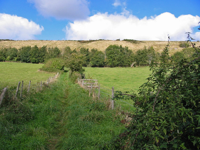
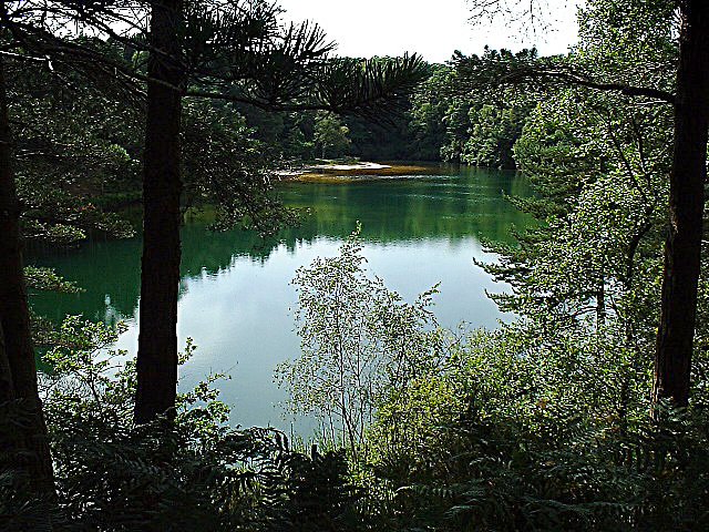
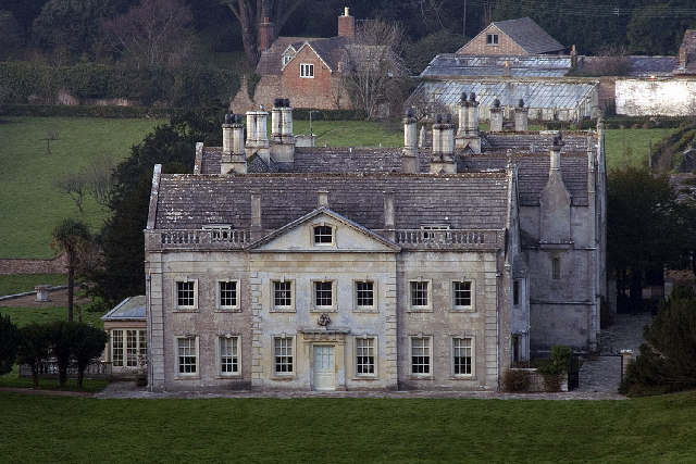
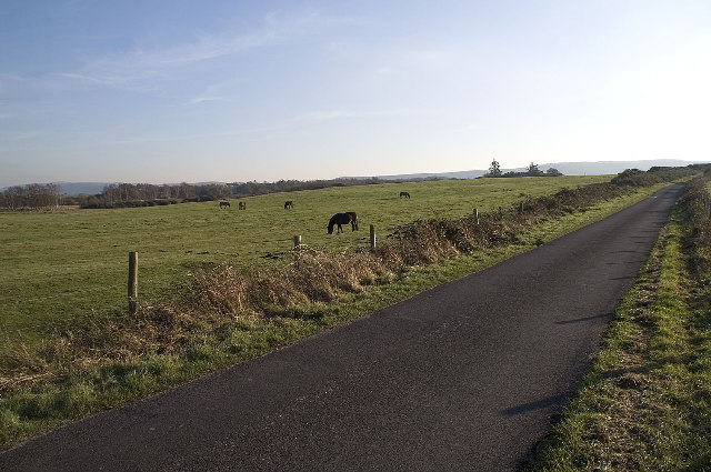
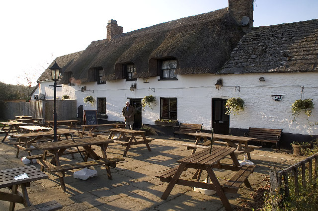
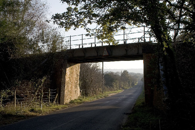
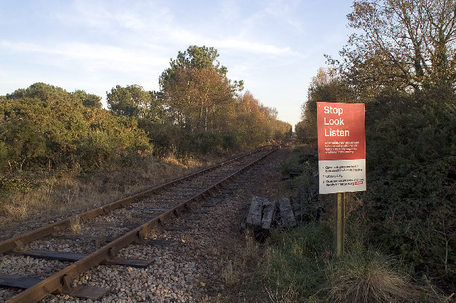
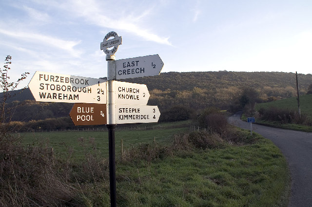
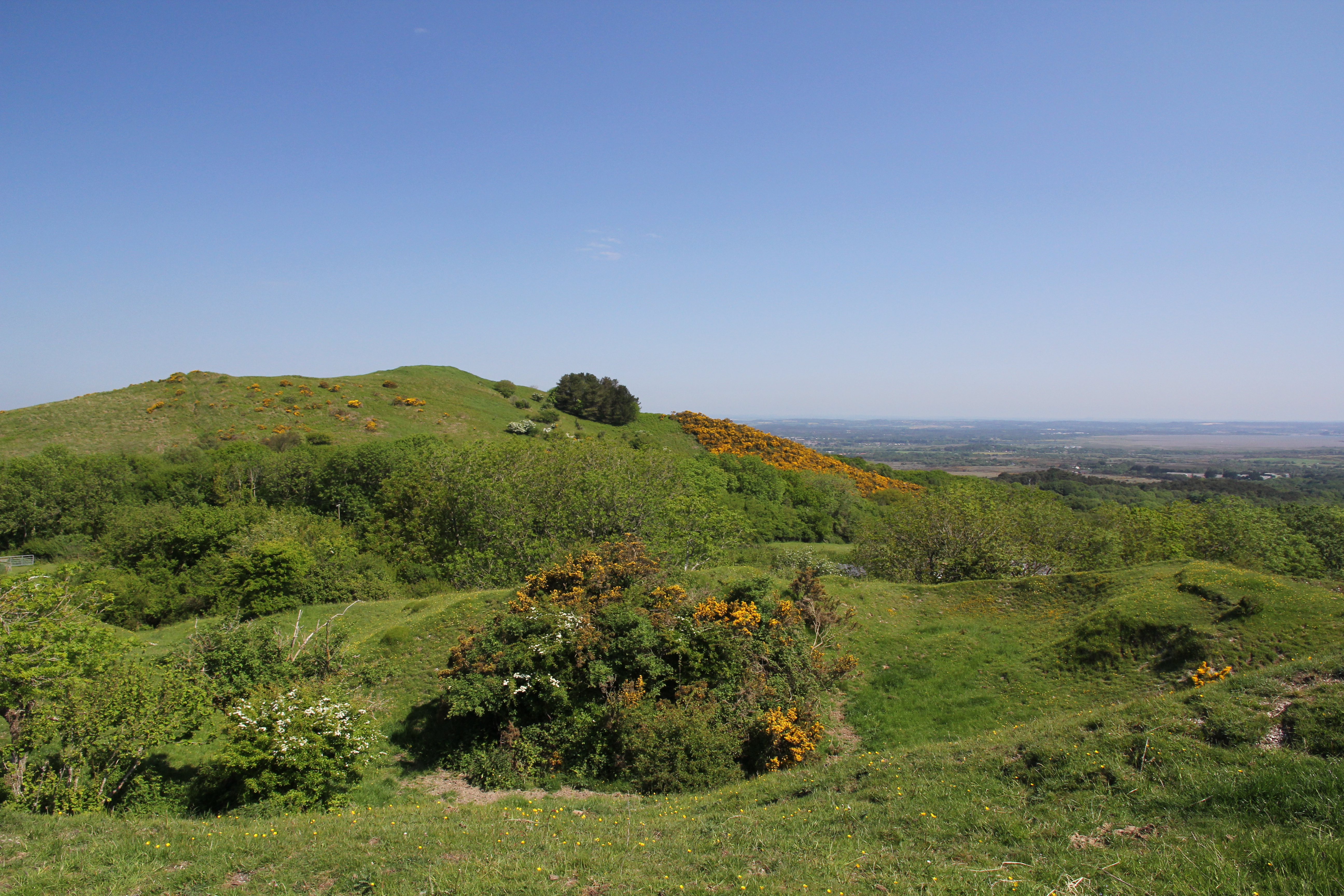
Icen Barrow Images

Images are sourced within 2km of 50.65/-2.105 or Grid Reference SY9283. Thanks to Geograph Open Source API. All images are credited.

Bikepacker on the Ridgeway Photo captured at 14:58 during a 2 day bikepacking trip following the 'Purbeck Bimble' route from Bikepacking.com.
Bikepacker on the Ridgeway
Photo captured at 14:58 during a 2 day bikepacking trip following the 'Purbeck Bimble' route from Bikepacking.com.
Halfway Inn Public house and restaurant on the A531. Located approximately halfway between Wareham and Corfe Castle.
Halfway Inn
Public house and restaurant on the A531. Located approximately halfway between Wareham and Corfe Castle.
Pasture beside the railway Looking towards Stoborough Heath, viewed from a Swanage to Wareham train service.
Pasture beside the railway
Looking towards Stoborough Heath, viewed from a Swanage to Wareham train service.
Old Milestone by the A351, south of Stoborough Green Carved stone post by the A351, in parish of ARNE (PURBECK District), by bus stop and path to Blue Pool, opposite sign 'RVP No 5' at entrance to Hartland Nature reserve, on West side of road. Dorset 2 (limestone), erected by the Wareham (North, South & West Branches) turnpike trust in the 19th century.

Inscription reads:-
II
MILES FROM
WAREHAM
Carved benchmark bottom centre of front face. 

Grade II Listed. List Entry Number:1120342 <span class="nowrap"><a title="https://historicengland.org.uk/listing/the-list/list-entry/1120342" rel="nofollow ugc noopener" href="https://historicengland.org.uk/listing/the-list/list-entry/1120342">Link</a><img style="margin-left:2px;" alt="External link" title="External link - shift click to open in new window" src="https://s1.geograph.org.uk/img/external.png" width="10" height="10"/></span>

Milestone Society National ID: DO_WASW02
Old Milestone by the A351, south of Stoborough Green
Carved stone post by the A351, in parish of ARNE (PURBECK District), by bus stop and path to Blue Pool, opposite sign 'RVP No 5' at entrance to Hartland Nature reserve, on West side of road. Dorset 2 (limestone), erected by the Wareham (North, South & West Branches) turnpike trust in the 19th century. Inscription reads:- II MILES FROM WAREHAM Carved benchmark bottom centre of front face. Grade II Listed. List Entry Number:1120342 LinkExternal link Milestone Society National ID: DO_WASW02
Old Milestone by the A351, Norden Heath Carved stone post by the A351, in parish of CORFE CASTLE (PURBECK District), 150m South of Cats Eye Cottage Camp Site, on grass verge beside road, on West side of road. Dorset 2 (limestone), erected by the Wareham (North, South & West Branches) turnpike trust in the 19th century. 

Inscription reads:-
III
MILES FROM
WAREHAM 
Carved benchmark bottom centre of front face.

Grade II Listed. List Entry Number:1278601
<span class="nowrap"><a title="https://historicengland.org.uk/listing/the-list/list-entry/1278601" rel="nofollow ugc noopener" href="https://historicengland.org.uk/listing/the-list/list-entry/1278601">Link</a><img style="margin-left:2px;" alt="External link" title="External link - shift click to open in new window" src="https://s1.geograph.org.uk/img/external.png" width="10" height="10"/></span>

Milestone Society National ID: DO_WASW03
Old Milestone by the A351, Norden Heath
Carved stone post by the A351, in parish of CORFE CASTLE (PURBECK District), 150m South of Cats Eye Cottage Camp Site, on grass verge beside road, on West side of road. Dorset 2 (limestone), erected by the Wareham (North, South & West Branches) turnpike trust in the 19th century. Inscription reads:- III MILES FROM WAREHAM Carved benchmark bottom centre of front face. Grade II Listed. List Entry Number:1278601 LinkExternal link Milestone Society National ID: DO_WASW03
Stonehill Down Looking NW down the steep hill - tough work on a Tandem!
Stonehill Down
Looking NW down the steep hill - tough work on a Tandem!
Footpath from Church Knowle to Knowle Hill. A grass path leading up to the chalk ridge of Knowle Hill.
Footpath from Church Knowle to Knowle Hill.
A grass path leading up to the chalk ridge of Knowle Hill.
The Blue Pool, Furzebrook From the early 17th century the Blue Pool at Furzebrook was dug for clay to make high quality pottery and clay pipes. The colloidal clay particles in the water disperse light in such a way as to give the pool a greenish-blue colour. In 1985 it was designated a Site of Special Scientific Interest (SSSI) and many rare species may be found in the locality. The pool itself supports no life forms whatsoever.
<span class="nowrap"><a title="http://blue.pool.users.btopenworld.com/" rel="nofollow ugc noopener" href="http://blue.pool.users.btopenworld.com/">Link</a><img style="margin-left:2px;" alt="External link" title="External link - shift click to open in new window" src="https://s1.geograph.org.uk/img/external.png" width="10" height="10"/></span>
The Blue Pool, Furzebrook
From the early 17th century the Blue Pool at Furzebrook was dug for clay to make high quality pottery and clay pipes. The colloidal clay particles in the water disperse light in such a way as to give the pool a greenish-blue colour. In 1985 it was designated a Site of Special Scientific Interest (SSSI) and many rare species may be found in the locality. The pool itself supports no life forms whatsoever. LinkExternal link
Creech Grange near Wareham, Dorset Creech Grange is an elegant country house, south of Wareham at the foot of the Purbeck Hills, built by Sir Oliver Lawrence, who acquired the land from the former Bindon Abbey, near Wool, after Henry VIII had abolished the monasteries in 1539. Only fragments remain of the original house built by Lawrence before his death in 1559, partly because it was damaged by fire by the Parliamentarians during the Civil War, and finally because in 1846 the entire front was taken down and rebuilt in the local Tudor style.
Creech Grange near Wareham, Dorset
Creech Grange is an elegant country house, south of Wareham at the foot of the Purbeck Hills, built by Sir Oliver Lawrence, who acquired the land from the former Bindon Abbey, near Wool, after Henry VIII had abolished the monasteries in 1539. Only fragments remain of the original house built by Lawrence before his death in 1559, partly because it was damaged by fire by the Parliamentarians during the Civil War, and finally because in 1846 the entire front was taken down and rebuilt in the local Tudor style.
Hartland Moor NNR, Dorset Hartland Moor NNR (National Nature Reserve) is on the left and the Purbeck Hills can be seen in the distance.
Hartland Moor NNR, Dorset
Hartland Moor NNR (National Nature Reserve) is on the left and the Purbeck Hills can be seen in the distance.
The Halfway Inn, Norden, Dorset The inn is halfway between Wareham and Corfe Castle.
The Halfway Inn, Norden, Dorset
The inn is halfway between Wareham and Corfe Castle.
Railway Bridge, Creech Bottom, Dorset The bridge carries the section of the line used by trains carrying Liquefied Petroleum Gas from the BP terminal at Furzebrook. On average eleven trains a week arrive at Furzebrook where they are loaded with butane and propane destined for BP's distribution terminal at Avonmouth. On 3rd January 2002 the remaining track was re-laid at Norden to connect with this section, re-establishing the rail link between Swanage and the main line that was closed in 1972.
<span class="nowrap"><a title="http://www.swanagerailway.co.uk/history.htm" rel="nofollow ugc noopener" href="http://www.swanagerailway.co.uk/history.htm">Link</a><img style="margin-left:2px;" alt="External link" title="External link - shift click to open in new window" src="https://s1.geograph.org.uk/img/external.png" width="10" height="10"/></span>
Railway Bridge, Creech Bottom, Dorset
The bridge carries the section of the line used by trains carrying Liquefied Petroleum Gas from the BP terminal at Furzebrook. On average eleven trains a week arrive at Furzebrook where they are loaded with butane and propane destined for BP's distribution terminal at Avonmouth. On 3rd January 2002 the remaining track was re-laid at Norden to connect with this section, re-establishing the rail link between Swanage and the main line that was closed in 1972. LinkExternal link
Railway Crossing, Creech Bottom, Dorset The Purbeck Way crosses the railway line at this point. This section of the line is used by trains carrying Liquefied Petroleum Gas from the BP terminal at Furzebrook. On average eleven trains a week arrive at Furzebrook where they are loaded with butane and propane destined for BP's distribution terminal at Avonmouth. On 3rd January 2002 the remaining track was re-laid at Norden to connect with this section, re-establishing the rail link between Swanage and the main line that was closed in 1972.
<span class="nowrap"><a title="http://www.swanagerailway.co.uk/history.htm" rel="nofollow ugc noopener" href="http://www.swanagerailway.co.uk/history.htm">Link</a><img style="margin-left:2px;" alt="External link" title="External link - shift click to open in new window" src="https://s1.geograph.org.uk/img/external.png" width="10" height="10"/></span>
Railway Crossing, Creech Bottom, Dorset
The Purbeck Way crosses the railway line at this point. This section of the line is used by trains carrying Liquefied Petroleum Gas from the BP terminal at Furzebrook. On average eleven trains a week arrive at Furzebrook where they are loaded with butane and propane destined for BP's distribution terminal at Avonmouth. On 3rd January 2002 the remaining track was re-laid at Norden to connect with this section, re-establishing the rail link between Swanage and the main line that was closed in 1972. LinkExternal link
Road Sign near East Creech, Dorset The Purbeck Hills are ahead.
Road Sign near East Creech, Dorset
The Purbeck Hills are ahead.
Army Ranges Sign near Church Knowle, Dorset The sign gives important information about access to various parts of the region which are closed when live firing is taking place.
Army Ranges Sign near Church Knowle, Dorset
The sign gives important information about access to various parts of the region which are closed when live firing is taking place.
St Peters Church Church Knowle Dorset Constructed in local Purbeck stone
St Peters Church Church Knowle Dorset
Constructed in local Purbeck stone
Bridewell Plantation A clearing viewed looking north east from the permissive path running through the wood.
Bridewell Plantation
A clearing viewed looking north east from the permissive path running through the wood.
Grange Heath This picture shows the north east corner of this national nature reserve comprising lowland heathland managed by the RSPB. Note the stile at the extreme right which comprises two upright logs. The wood is the southern edge of Bridewell Plantation.
Grange Heath
This picture shows the north east corner of this national nature reserve comprising lowland heathland managed by the RSPB. Note the stile at the extreme right which comprises two upright logs. The wood is the southern edge of Bridewell Plantation.
Show me another place!

Icen Barrow is located at Grid Ref: SY9283 (Lat: 50.65, Lng: -2.105)

Unitary Authority: Dorset

Police Authority: Dorset

What 3 Words

///boater.belt.squabbles. Near Corfe Castle, Dorset

Related Wikis

Furzebrook, Dorset

Furzebrook is a small village on the Isle of Purbeck, in the county of Dorset in the south of England. It is about 2 miles (3.2 km) south of Wareham and...

Blue Pool, Dorset

Blue Pool is a flooded, disused clay pit where Purbeck ball clay was once extracted. It is now a lake within the Furzebrook Estate, a 25-acre (10 ha) park...

East Creech

East Creech is a hamlet in the parish of Church Knowle in the county of Dorset, England. East Creech lies at the northern foot of the Purbeck Hills about...

Creech Barrow Hill

Creech Barrow Hill is a steep, conical hill, 193 metres (633 ft) (one source 637 feet) high, near the coast of Dorset, England, and the highest point of...

Nearby Amenities

Located within 500m of 50.65,-2.105
Material: wood
Power: pole
Source: bing
Lat/Long: 50.6465481/-2.1007852
Material: wood
Power: pole
Source: bing
Lat/Long: 50.6473781/-2.1008674
Material: wood
Power: pole
Source: bing
Lat/Long: 50.6480249/-2.1009335
Material: wood
Power: pole
Source: bing
Lat/Long: 50.6487723/-2.1010213
Material: wood
Power: pole
Source: bing
Lat/Long: 50.652271/-2.1014616
Material: wood
Power: pole
Source: bing
Lat/Long: 50.6528367/-2.1006397
The data included in this document is from www.openstreetmap.org. The data is made available under ODbL.

Have you been to Icen Barrow?

Leave your review of Icen Barrow below (or comments, questions and feedback).