Horham Hall

Heritage Site in Essex Uttlesford

England

Horham Hall

Hill Farm from the air Viewed from a Stansted bound flight from Glasgow.
Hill Farm from the air Credit: Thomas Nugent

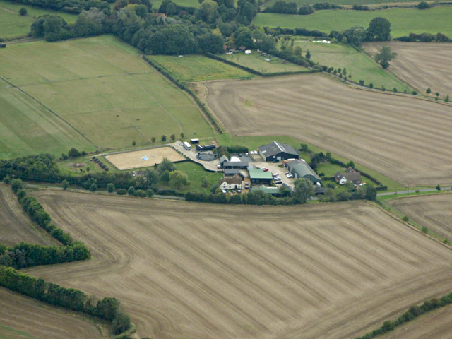
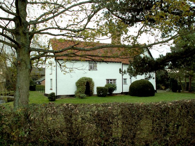
Horham Hall, located in the county of Essex, England, is a historic heritage site that showcases the architectural beauty and cultural significance of the region. Dating back to the 16th century, Horham Hall stands as an impressive example of Tudor-style architecture and has been well-preserved over the centuries.

The hall is characterized by its distinctive red-brick façade, adorned with intricate detailing and mullioned windows. The interior boasts rooms that have been intricately decorated and furnished, showcasing the opulence and grandeur of the era. Visitors can explore the grand hallways, spacious chambers, and elegant reception rooms, each offering a glimpse into the past.

In addition to its architectural significance, Horham Hall holds great historical and cultural importance. It has been home to several notable families throughout its existence, and its walls have witnessed and sheltered generations of residents. The site also holds a special place in local folklore, with tales of hidden treasures and ghostly apparitions adding to its mystique.

Surrounded by beautifully landscaped gardens, Horham Hall offers visitors a tranquil and picturesque setting to explore. The gardens feature manicured lawns, vibrant flower beds, and ancient trees, creating an idyllic atmosphere for leisurely walks and peaceful contemplation.

Regular guided tours are available, providing visitors with a comprehensive understanding of the hall's history, architecture, and significance. The site also hosts various cultural events and exhibitions, allowing visitors to engage with the heritage of the region in a dynamic and interactive manner.

Overall, Horham Hall stands as a testament to the rich history and architectural beauty of Essex, offering a captivating experience for history enthusiasts, architecture aficionados, and nature lovers alike.

If you have any feedback on the listing, please let us know in the comments section below.

Horham Hall Images

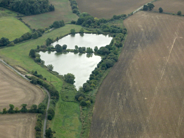
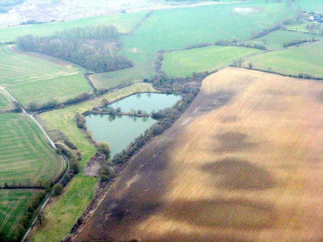
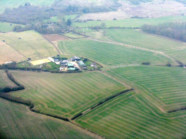
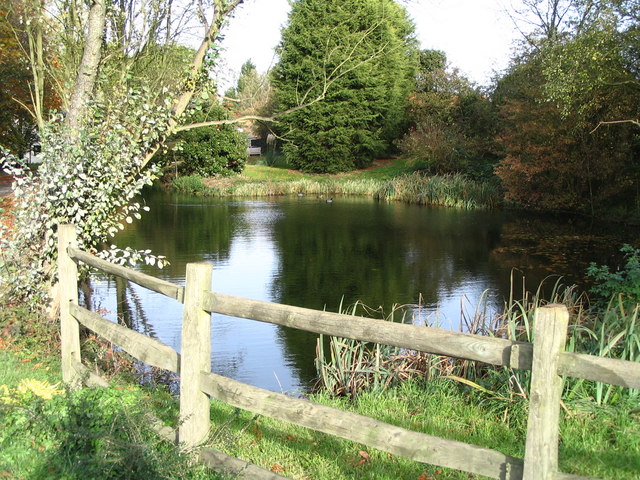
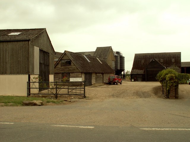
Images are sourced within 2km of 51.942/0.307 or Grid Reference TL5829. Thanks to Geograph Open Source API. All images are credited.

Hill Farm from the air Viewed from a Stansted bound flight from Glasgow.
Hill Farm from the air
Viewed from a Stansted bound flight from Glasgow.
Buckingham's Farm from the air Viewed from a Stansted bound flight from Glasgow.
Buckingham's Farm from the air
Viewed from a Stansted bound flight from Glasgow.
Hammer Hill Farm from the air Viewed from a Stansted bound flight from Glasgow.
Hammer Hill Farm from the air
Viewed from a Stansted bound flight from Glasgow.
Armigers Lakes from the air Carp lakes <span class="nowrap"><a title="http://www.bdac.co.uk/venues/lakes/Armigers.htm" rel="nofollow ugc noopener" href="http://www.bdac.co.uk/venues/lakes/Armigers.htm">Link</a><img style="margin-left:2px;" alt="External link" title="External link - shift click to open in new window" src="https://s1.geograph.org.uk/img/external.png" width="10" height="10"/></span> near Thaxted.
Armigers Lakes from the air
Carp lakes LinkExternal link near Thaxted.
The B1051, Stanbrook The plane is coming in to land at Stansted
The B1051, Stanbrook
The plane is coming in to land at Stansted
Field by the B1051, Stanbrook
Armigers Lakes A small coarse fishery near Monk Street and Thaxted <span class="nowrap"><a title="https://www.armigerslakes.co.uk/" rel="nofollow ugc noopener" href="https://www.armigerslakes.co.uk/">Link</a><img style="margin-left:2px;" alt="External link" title="External link - shift click to open in new window" src="https://s1.geograph.org.uk/img/external.png" width="10" height="10"/></span>. See Tam Nugent's picture in better light from 2016 <a href="https://www.geograph.org.uk/photo/5137969">TL6028 : Armigers Lakes from the air</a>. Labelled as reservoirs on OS mapping.
Armigers Lakes
A small coarse fishery near Monk Street and Thaxted LinkExternal link. See Tam Nugent's picture in better light from 2016 TL6028 : Armigers Lakes from the air. Labelled as reservoirs on OS mapping.
Hammer Hill Farm Arable fields, with some woodland beyond in the valley of the River Chelmer.
Hammer Hill Farm
Arable fields, with some woodland beyond in the valley of the River Chelmer.
Field and Home Wood The footpath north of Horham Hall skits the eastern edges of Home Wood.
Field and Home Wood
The footpath north of Horham Hall skits the eastern edges of Home Wood.
On the footpath towards Horham Hall A little of the roof of Horham Hall can be seen emerging from the woods ahead. Although the path goes on the pass the hall quite close to the east, little of the hall can be seen from it.
On the footpath towards Horham Hall
A little of the roof of Horham Hall can be seen emerging from the woods ahead. Although the path goes on the pass the hall quite close to the east, little of the hall can be seen from it.
B1051 near Sharpes Cottages Looking west in the direction of Thaxted.
B1051 near Sharpes Cottages
Looking west in the direction of Thaxted.
Hedge, road and field On the road to Sucksted Green.
Hedge, road and field
On the road to Sucksted Green.
Field on Broxted Hill A field of stubble - the remains of a field of barley - beside the lane between Cherry Green and Sucksted Green.
Field on Broxted Hill
A field of stubble - the remains of a field of barley - beside the lane between Cherry Green and Sucksted Green.
Sibleys Lane Coming off Broxted Hill looking in the direction of Sibleys.
Sibleys Lane
Coming off Broxted Hill looking in the direction of Sibleys.
Footpath approaching Cherry Green Farm The path leads from Hamperden End southwards to Cherry Green.
Footpath approaching Cherry Green Farm
The path leads from Hamperden End southwards to Cherry Green.
Tank and tyres at Cherry Green Farm Looking north out of part of the farmyard.
Tank and tyres at Cherry Green Farm
Looking north out of part of the farmyard.
The Old Forge, Cherry Green With the out building displaying the flag in support of Ukraine.
The Old Forge, Cherry Green
With the out building displaying the flag in support of Ukraine.
Hammer Hill - Stanbrook Hammer Hill is a highpoint overlooking the River Chelmer valley
Hammer Hill - Stanbrook
Hammer Hill is a highpoint overlooking the River Chelmer valley
Show me another place!

Horham Hall is located at Grid Ref: TL5829 (Lat: 51.942, Lng: 0.307)

Administrative County: Essex

District: Uttlesford

Police Authority: Essex

What 3 Words

///hunk.name.fries. Near Thaxted, Essex

Nearby Locations

Warrens Wood Horham Hall

Related Wikis

Horham Hall

Horham Hall may refer to the timber-framed late mediaeval hall in Thaxted, England, or to the brick hall built in its place by Sir John Cutte (died 1520...

Cutlers Green Halt railway station

Cutlers Green Halt railway station was a station serving the hamlet of Cutlers Green, Essex. It was located 4 miles 52 chains (7.48 km) from Elsenham station...

Armigers, Essex

Armigers is a hamlet on the B1051 road in the Uttlesford district of Essex, England. It is located midway between Thaxted and Broxted.

Cherry Green, Essex

Cherry Green or Chaureth Green is a hamlet in the civil parish of Broxted and the Uttlesford district of Essex, England. The hamlet is 1.5 miles (2.4 km...

Cutlers Green

Cutlers Green is a hamlet in the civil parish of Thaxted, and the Uttlesford district of Essex, England. The hamlet is 1 mile (1.6 km) west from the town...

Thaxted railway station

Thaxted railway station served the village of Thaxted, Essex. It was located 5 miles 47 chains (8.99 km) from Elsenham station. It closed in 1952. ��2...

Hamperden End

Hamperden End is a hamlet in the civil parish of Debden, in the Uttlesford district, in the county of Essex, England. Debden Green is north east and Widdington...

St Mary's Church, Chickney

St Mary's Church is a redundant Anglican church in the parish of Chickney, Essex, England. It is recorded in the National Heritage List for England as...

Nearby Amenities

Located within 500m of 51.942,0.307
Fountain
Lat/Long: 51.9404701/0.3093171
The data included in this document is from www.openstreetmap.org. The data is made available under ODbL.

Have you been to Horham Hall?

Leave your review of Horham Hall below (or comments, questions and feedback).