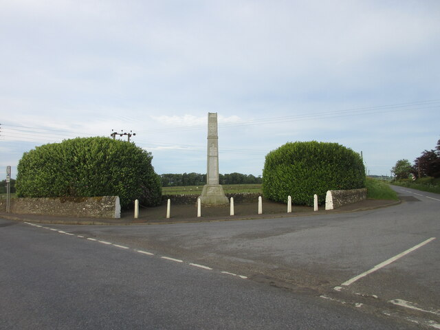
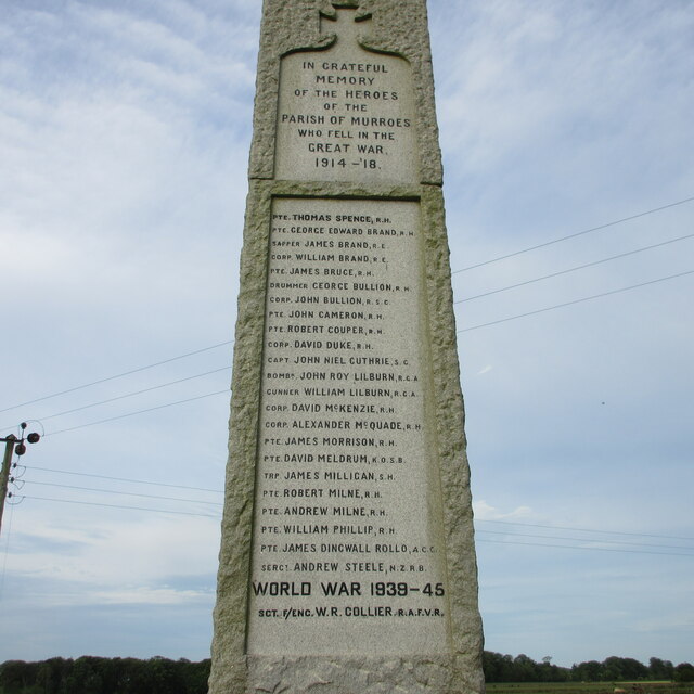
Brighty, Middle

Settlement in Angus

Scotland

Brighty, Middle

Minor road at Shielhill Looking westward.
Minor road at Shielhill Credit: Peter Wood

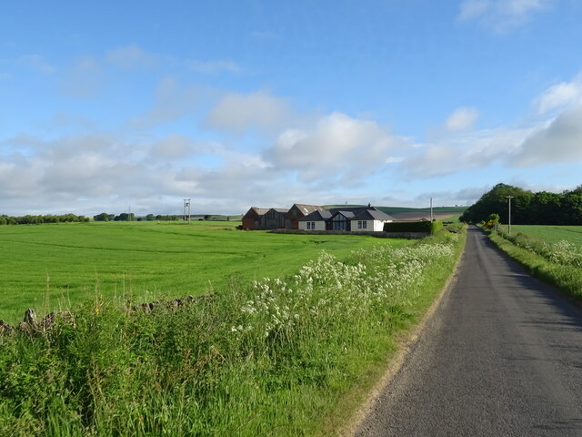
Brighty, Middle, Angus is a small village located in the Angus region of Scotland. Situated in the eastern part of the country, it is nestled amidst picturesque rolling hills and stunning natural landscapes. The village is known for its tranquil and serene atmosphere, making it an ideal destination for those seeking a peaceful retreat.

With a population of around 500 residents, Brighty, Middle, Angus maintains a close-knit community feel. The village is characterized by its charming stone cottages, well-maintained gardens, and a quaint village green at its heart. The locals take great pride in preserving the village's traditional architecture and heritage.

Despite its small size, Brighty, Middle, Angus offers a range of amenities to cater to the needs of its residents. There is a local primary school, a community center, and a few small shops that provide essential services. The village also boasts a cozy pub, where locals and visitors can gather and unwind over a pint of locally brewed ale.

Nature lovers will find themselves enthralled by the surrounding countryside. Brighty, Middle, Angus is surrounded by lush green fields, meandering streams, and enchanting woodlands. There are numerous walking trails and cycling routes that allow visitors to explore the area's natural beauty.

Close proximity to larger towns such as Dundee and Forfar ensures that residents have access to a wider range of amenities and services. Overall, Brighty, Middle, Angus offers a tranquil and idyllic rural lifestyle, making it a charming place to live or visit.

If you have any feedback on the listing, please let us know in the comments section below.

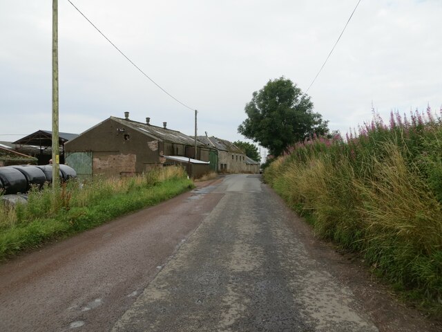
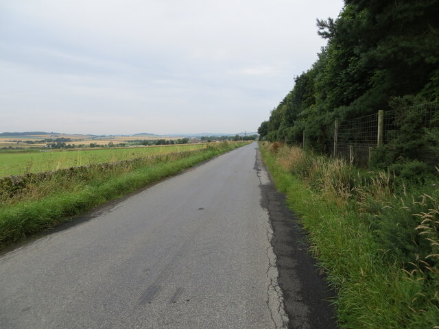
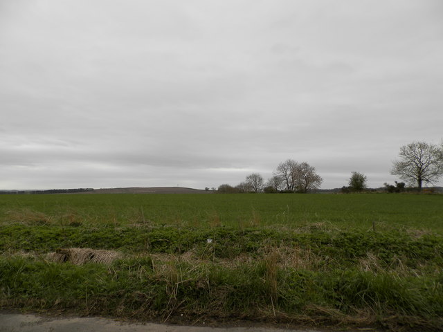
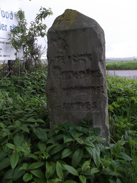
Brighty, Middle Images

Images are sourced within 2km of 56.530669/-2.9120059 or Grid Reference NO4438. Thanks to Geograph Open Source API. All images are credited.

Minor road at Shielhill Looking westward.
Minor road at Shielhill
Looking westward.
Minor road near to Woodside Looking north-westward.
Minor road near to Woodside
Looking north-westward.
Farmland at Woodside
Farmland on the lower slopes of Lorns Hill
Farmland at Whitehouse
Old Milestone by the former A928, Balmuir Wood, Tealing Parish By the UC road (was A928), in parish of Tealing (Angus District), Balmuir Wood, entrance to Travellers site.

Surveyed

Milestone Society National ID: AN_DDFR05t.
Old Milestone by the former A928, Balmuir Wood, Tealing Parish
By the UC road (was A928), in parish of Tealing (Angus District), Balmuir Wood, entrance to Travellers site. Surveyed Milestone Society National ID: AN_DDFR05t.
Old Milestone by the former A928, Balmuir Wood, Tealing Parish By the UC road (was A928), in parish of Tealing (Angus District), Balmuir Wood crossroads, right hand side of entrance to bungalow.

Surveyed

Milestone Society National ID: AN_DDFR05k
Old Milestone by the former A928, Balmuir Wood, Tealing Parish
By the UC road (was A928), in parish of Tealing (Angus District), Balmuir Wood crossroads, right hand side of entrance to bungalow. Surveyed Milestone Society National ID: AN_DDFR05k
Covered fields near Gagie Looking north-westwards over a covered field near Gagie, with Craigowl Hill and the Angus Transmitter on the horizon to the left.
Covered fields near Gagie
Looking north-westwards over a covered field near Gagie, with Craigowl Hill and the Angus Transmitter on the horizon to the left.
Murroes War Memorial The Murroes War Memorial, situated on the C6 (Angus) road between Westhall Terrace and Duntrune.
Murroes War Memorial
The Murroes War Memorial, situated on the C6 (Angus) road between Westhall Terrace and Duntrune.
Names on the Murroes War Memorial Close up of the inscription and names on the Murroes War Memorial.
Names on the Murroes War Memorial
Close up of the inscription and names on the Murroes War Memorial.
Pylon, Wellbank
Pylon, Wellbank
Chapel Road Heading nroth.
Chapel Road
Heading nroth.
Gorse beside Chapel Road
Fields towards Dodd Cottage
Farmland north of Leyshade The view is taken from the extreme south east corner of the grid box and looks north west across farmland to the buildings at Petterden (NO4239) in the distance.
Farmland north of Leyshade
The view is taken from the extreme south east corner of the grid box and looks north west across farmland to the buildings at Petterden (NO4239) in the distance.
Farmland near Myreton The view looks south from the minor road just west of Myreton.  The pylons which cross the view are visible on the map.  The cottages in the distance are at Backmuir
Farmland near Myreton
The view looks south from the minor road just west of Myreton. The pylons which cross the view are visible on the map. The cottages in the distance are at Backmuir
Gagie Smallholdings The view is taken looking towards the farmbuildings from the bend in the minor road right in the centre of the grid box.
Gagie Smallholdings
The view is taken looking towards the farmbuildings from the bend in the minor road right in the centre of the grid box.
Show me another place!

Brighty, Middle is located at Grid Ref: NO4438 (Lat: 56.530669, Lng: -2.9120059)

Unitary Authority: Angus

Police Authority: Tayside

What 3 Words

///rods.counts.dishes. Near Dundee, Dundee City

Related Wikis

Inveraldie

Inveraldie is a village in Angus, Scotland. It lies on the north-bound side of the A90 road, two miles north of Dundee. == References ==

Bucklerheads

Bucklershead is a village in Angus, Scotland. It lies approximately three miles north of Monifieth, on the B978 road. == References ==
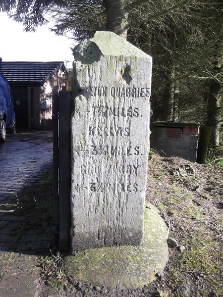
Kellas, Angus

Kellas is a village in Angus, Scotland. It lies approximately two miles north of Dundee, on the B978 road. == Local Bus Services in the Area == Headquartered...

Gagie railway station

Gagie Halt railway station was a railway halt in Scotland, on the Dundee and Forfar direct line, built by the London, Midland and Scottish Railway. It...

Nearby Amenities

Located within 500m of 56.530669,-2.9120059
Design: barrel
Power: tower
Lat/Long: 56.5281887/-2.9080625
Myreton
Place: isolated_dwelling
Lat/Long: 56.5277705/-2.9132184
Power: pole
Lat/Long: 56.5315091/-2.9188085
Power: pole
Lat/Long: 56.5313209/-2.9174342
Power: pole
Lat/Long: 56.5311399/-2.9160532
Power: pole
Lat/Long: 56.5309639/-2.9146568
Power: pole
Lat/Long: 56.5307622/-2.9132714
Power: pole
Lat/Long: 56.5306779/-2.9126308
Power: pole
Lat/Long: 56.5305092/-2.911354
Power: pole
Lat/Long: 56.5303441/-2.9101016
Power: pole
Lat/Long: 56.5301657/-2.9087584
Power: pole
Lat/Long: 56.529986/-2.9074572
Power: pole
Lat/Long: 56.5298331/-2.9063777
Power: pole
Lat/Long: 56.5296889/-2.9053248
Power: pole
Lat/Long: 56.5304554/-2.9126685
Power: pole
Lat/Long: 56.5302806/-2.9126906
Power: pole
Lat/Long: 56.5295544/-2.9128724
Power: pole
Lat/Long: 56.5288992/-2.9130475
Power: pole
Lat/Long: 56.5281962/-2.9132448
Power: pole
Lat/Long: 56.5279407/-2.913001
Power: pole
Lat/Long: 56.5278564/-2.9123116
Power: pole
Lat/Long: 56.530684/-2.9074084
Power: pole
Lat/Long: 56.5311351/-2.9073663
Power: pole
Lat/Long: 56.5317304/-2.9073264
Power: pole
Lat/Long: 56.5323073/-2.907291
Power: pole
Lat/Long: 56.532899/-2.90724
Power: pole
Lat/Long: 56.5334967/-2.9071956
Power: pole
Lat/Long: 56.533905/-2.907619
Power: pole
Lat/Long: 56.5318282/-2.9071823
Power: pole
Lat/Long: 56.5317585/-2.9062004
Power: pole
Lat/Long: 56.5316802/-2.9051142
Power: pole
Lat/Long: 56.5316179/-2.9041323
The data included in this document is from www.openstreetmap.org. The data is made available under ODbL.

Have you been to Brighty, Middle?

Leave your review of Brighty, Middle below (or comments, questions and feedback).