Middle Bourne

Settlement in Surrey Waverley

England

Middle Bourne

Oast House
Oast House Credit: Oast House Archive

Middle Bourne is a charming village located in the borough of Surrey, England. Situated approximately 40 miles southwest of London, this picturesque community is nestled amidst the rolling hills and serene countryside of the Surrey Hills Area of Outstanding Natural Beauty.

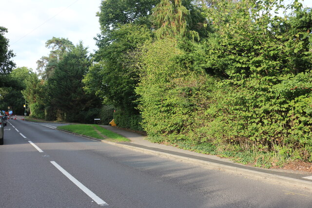
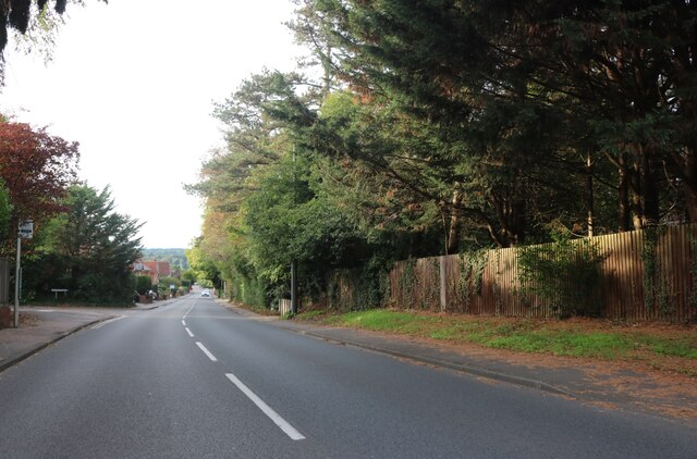
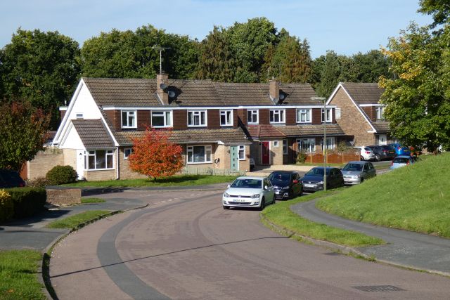
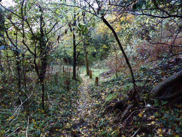
With a population of around 1,500 residents, Middle Bourne exudes a peaceful and tranquil ambiance. The village is renowned for its idyllic landscapes, characterized by lush green fields, meandering streams, and ancient woodlands. Residents and visitors alike can enjoy leisurely walks along the numerous footpaths and bridleways that crisscross the area, offering breathtaking views of the surrounding countryside.

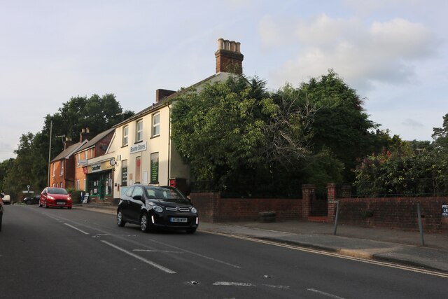
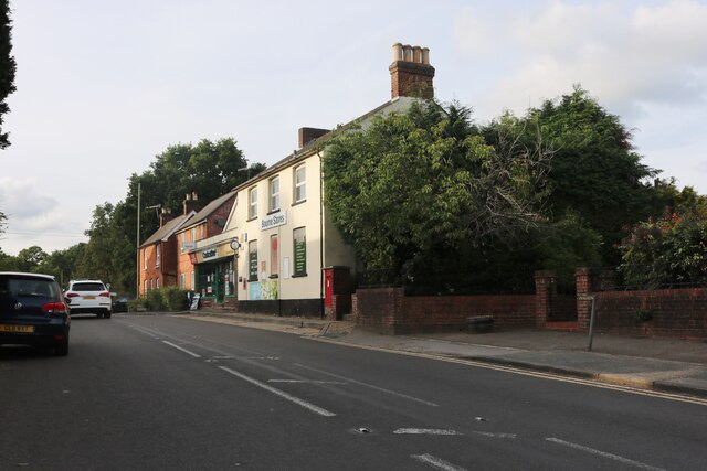
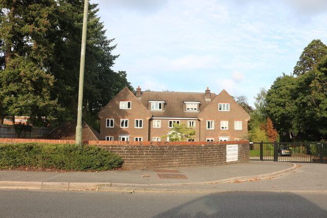
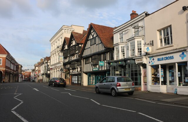
Middle Bourne is home to a quaint village center, featuring a handful of charming shops, traditional pubs, and local businesses. The community prides itself on preserving its historical heritage, with a number of well-preserved medieval buildings lining the streets.

The village also boasts a strong sense of community, with various social and recreational activities organized throughout the year. The annual Middle Bourne Village Fair is a highlight for locals and visitors alike, featuring traditional music, food stalls, and a range of family-friendly entertainment.

For those seeking a tranquil escape from the bustling city, Middle Bourne offers a haven of natural beauty and a peaceful way of life. With its rich history, stunning surroundings, and close-knit community, Middle Bourne is undoubtedly a hidden gem in Surrey's countryside.

If you have any feedback on the listing, please let us know in the comments section below.

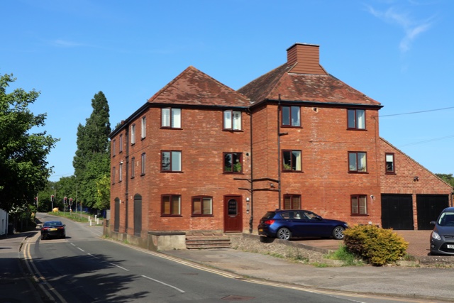
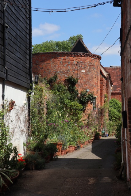
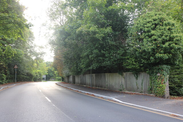
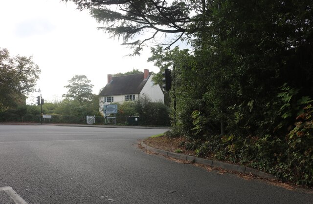
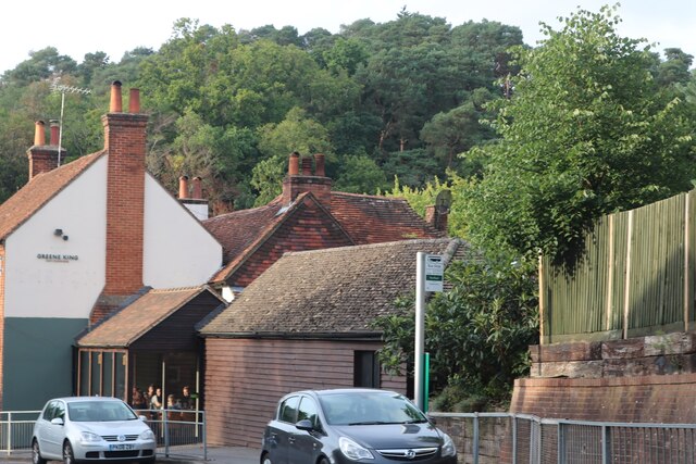
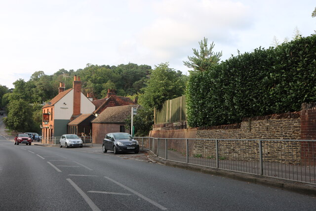
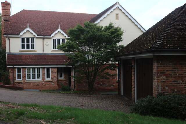
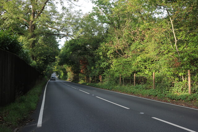
Middle Bourne Images

Images are sourced within 2km of 51.198675/-0.795429 or Grid Reference SU8445. Thanks to Geograph Open Source API. All images are credited.

Oast House Single round kiln oast house (hop kiln). Missing kiln roof.

Grade II listed.
Oast House
Single round kiln oast house (hop kiln). Missing kiln roof. Grade II listed.
Great Austins, Farnham
Old Farnham Lane at the junction of Frensham Road
View by Frensham Road, Bourne Looking towards The Fox pub.
View by Frensham Road, Bourne
Looking towards The Fox pub.
Frensham Road, Bourne Looking towards The Fox pub.
Frensham Road, Bourne
Looking towards The Fox pub.
House on Frensham Road, Bourne
Gong Hill north of Millbridge At the entrance to Edgeborough School
Gong Hill north of Millbridge
At the entrance to Edgeborough School
Gong Hill north of Millbridge
Gong Hill entering Farnham
Temporary lights on Frensham Road, Bourne
Frensham Road, Bourne
Priory Court, Farnham
Firgrove Hill, Farnham
The Borough, Farnham
Riverdale, Farnham On the edge of Wrecclesham.
Riverdale, Farnham
On the edge of Wrecclesham.
College Gardens: November 2022
Show me another place!

Middle Bourne is located at Grid Ref: SU8445 (Lat: 51.198675, Lng: -0.795429)

Administrative County: Surrey

District: Waverley

Police Authority: Surrey

What 3 Words

///cubed.trending.landmark. Near Farnham, Surrey

Related Wikis

Green Lane Cemetery, Farnham

Green Lane Cemetery is a small cemetery on Green Lane in Farnham in Surrey, one of four cemeteries owned and maintained by Farnham Town Council. The Chapel...

Farnham Grammar School

Farnham Grammar School is now called Farnham College which is located in Farnham, Surrey, southern England. == History == The grammar school was created...

Farnham College

Farnham College is a coeducational sixth form college in Farnham in the English county of Surrey. It has a single campus in a residential area just to...

Underdown nature reserve

Underdown is a 1-hectare (2.5-acre) nature reserve in Farnham in Surrey. It is owned and managed by the Surrey Wildlife Trust.This reserve was donated...

Weydon School

Weydon School is a secondary academy school located in Weydon Lane, Farnham, Surrey, England. It is the lead school of the Weydon Multi Academy Trust....

South Farnham School

South Farnham School is a coeducational academy in Farnham, Surrey, England. It is located on two separate sites, with the Infants Section for children...

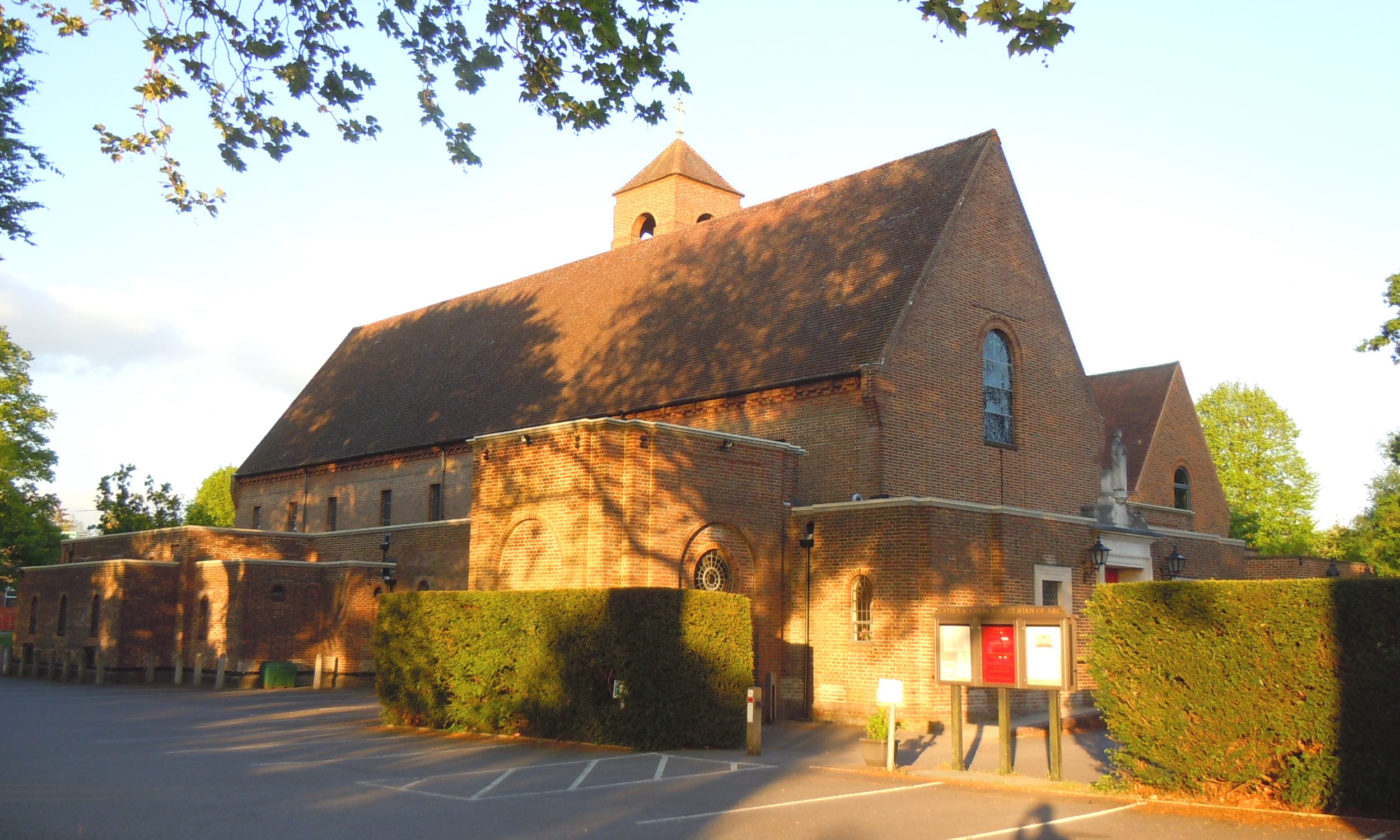
St Joan of Arc's Church, Farnham

St Joan of Arc Church is a Roman Catholic Parish church in Farnham, Surrey. It was founded in 1890 and built in its present location in 1929. It was decided...

Bourne Wood

Bourne Wood (also known as Bourne Woods) is an area of predominantly coniferous woodland just south of Farnham, Surrey, England and a film location, under...

Nearby Amenities

Located within 500m of 51.198675,-0.795429
Crossing
Crossing: uncontrolled
Crossing Ref: zebra
Kerb: lowered
Sloped Curb: yes
Lat/Long: 51.2023084/-0.7963968
Give Way
Direction: backward
Lat/Long: 51.1955816/-0.798401
Crossing
Crossing: unmarked
Kerb: lowered
Sloped Curb: yes
Lat/Long: 51.200098/-0.7961478
Middle Bourne Community Garden
Leisure: park
Lat/Long: 51.1968217/-0.800255
Ford: yes
Lat/Long: 51.1959487/-0.8000149
Turning Circle
Lat/Long: 51.1978608/-0.7945274
Tesco Express
Addr City: Farnham
Addr County: Surrey
Addr Housenumber: 29-31
Addr Postcode: GU9 8NN
Addr Street: Ridgway Road
Brand: Tesco Express
Brand Wikidata: Q98456772
Contact Website: https://www.tesco.com/store-locator/farnham/29-31-ridgway-rd
Fhrs Id: 221467
Shop: supermarket
Source Addr: FHRS Open Data
Wheelchair: yes
Lat/Long: 51.2024927/-0.7957252
Atm
RBS
Cash In: no
Drive Through: no
Fee: no
Operator: RBS
Lat/Long: 51.2025389/-0.7956947
Ridgway Court
Building: apartments
Note: Elderly people's home, I believe
Operator: Abbeyfield
Lat/Long: 51.2025127/-0.7963434
Parking
Ridgway Court
Access: private
Parking: surface
Lat/Long: 51.20281/-0.796882
Post Box
Collection Times: Mo-Fr 17:15; Sa 11:30
Post Box Type: pillar
Postal Code: GU9
Ref: GU9 140
Royal Cypher: GR
Royal Cypher Wikidata: Q33102273
Lat/Long: 51.2016576/-0.7980428
Bus Stop
Langham Recreation Ground
Bus: yes
Naptan AtcoCode: 40004411047A
Naptan Bearing: SW
Naptan CommonName: Langham Recreation Ground
Naptan Indicator: adj
Naptan Landmark: Langham Recreation Ground
Naptan NaptanCode: surdtgwj
Naptan PlusbusZoneRef: ALDRSHT
Naptan Street: Ridgeway Road
Naptan Verified: no
Public Transport: platform
Source: naptan_import
Lat/Long: 51.2018362/-0.7973585
Bus Stop
Black Pond Lane
Naptan AtcoCode: 40004411227A
Naptan Bearing: W
Naptan CommonName: Black Pond Lane
Naptan Indicator: W-bound
Naptan Landmark: Longdown Road
Naptan NaptanCode: surdwawm
Naptan PlusbusZoneRef: ALDRSHT
Naptan Street: Burnt Hill Road
Naptan Verified: no
Source: naptan_import
Lat/Long: 51.1957319/-0.7948983
Bus Stop
Naptan AtcoCode: 40004411334A
Naptan Bearing: S
Naptan BusStopType: CUS
Naptan CommonName: Fox Road
Naptan Indicator: Just after
Naptan Landmark: Fox Road
Naptan NaptanCode: surdwmgw
Naptan PlusbusZoneRef: ALDRSHT
Naptan Street: Frensham Road
Naptan Verified: no
Source: naptan_import
Lat/Long: 51.1982165/-0.7910638
Bus Stop
Fox Road
Naptan AtcoCode: 40004411334B
Naptan Bearing: N
Naptan CommonName: Fox Road
Naptan Indicator: Just Before
Naptan Landmark: Fox Road
Naptan NaptanCode: surdwmja
Naptan PlusbusZoneRef: ALDRSHT
Naptan Street: Frensham Road
Naptan Verified: no
Source: naptan_import
Lat/Long: 51.1984921/-0.7913626
Bus Stop
Black Pond Lane
Naptan AtcoCode: 40004411485B
Naptan Bearing: NE
Naptan CommonName: Black Pond Lane
Naptan Indicator: adj
Naptan Landmark: Black Pond Lane
Naptan NaptanCode: surgjpjd
Naptan PlusbusZoneRef: ALDRSHT
Naptan Street: Burnt Hill Road
Naptan Verified: no
Source: naptan_import
Lat/Long: 51.195827/-0.7945238
Bus Stop
Langham Recreation Ground
Bus: yes
Naptan AtcoCode: 40004411523A
Naptan Bearing: NE
Naptan CommonName: Langham Recreation Ground
Naptan Indicator: Opp
Naptan Landmark: Langham Recreation Ground
Naptan NaptanCode: surgjtam
Naptan PlusbusZoneRef: ALDRSHT
Naptan Street: Ridgeway Road
Naptan Verified: no
Public Transport: platform
Source: naptan_import
Lat/Long: 51.20182/-0.7975307
Bus Stop
Brambleton Avenue
Bus: yes
Naptan AtcoCode: 40004411922A
Naptan Bearing: NE
Naptan CommonName: Brambleton Avenue
Naptan Indicator: Just after
Naptan Landmark: Brambleton Avenue
Naptan NaptanCode: surgmpjg
Naptan PlusbusZoneRef: ALDRSHT
Naptan Street: Shortheath Road
Naptan Verified: no
Public Transport: platform
Source: naptan_import
Lat/Long: 51.2005561/-0.8014283
Crossing: informal
Lat/Long: 51.1988153/-0.7915178
Crossing
Crossing: unmarked
Kerb: lowered
Tactile Paving: yes
Lat/Long: 51.1964907/-0.7902111
Waste Basket
Lat/Long: 51.1966684/-0.7901752
Bench
Lat/Long: 51.1967154/-0.7902758
Tourism: information
Lat/Long: 51.1966793/-0.7902168
Parking
Capacity: 3
Lat/Long: 51.1964668/-0.7896569
Crossing
Crossing: uncontrolled
Crossing Ref: zebra
Kerb: lowered
Tactile Paving: yes
Lat/Long: 51.1966639/-0.7904039
Post Box
Postal Code: GU10
Ref: GU10 66
Lat/Long: 51.1962497/-0.7898859
Post Box
Collection Times: Mo-Fr 17:15; Sa 08:00
Drive Through: no
Operator: Royal Mail
Post Box Type: lamp
Postal Code: GU10
Ref: GU10 85
Royal Cypher: EIIR
Royal Cypher Wikidata: Q33102113
Lat/Long: 51.1956093/-0.7952873
Lower Bourne
Place: neighbourhood
Lat/Long: 51.1965965/-0.7898257
Post Office
Lower Bourne Post Office
Addr Housenumber: 31
Addr Postcode: GU10 3PY
Addr Street: Frensham Road
Branch: Lower Bourne
Brand: Post Office
Brand Wikidata: Q1783168
Check Date: 2020-02-20
Contact Website: https://www.postoffice.co.uk/branch-finder/1179004/lower-bourne
Ref Pol Id: 1862
Lat/Long: 51.1963186/-0.7898837
Parking
Capacity: 4
Fee: no
Parking: layby
Lat/Long: 51.1972191/-0.7908319
Give Way
Direction: backward
Lat/Long: 51.2015676/-0.791228
Give Way
Direction: backward
Source: Bing
Lat/Long: 51.1965631/-0.7903859
Give Way
Direction: forward
Lat/Long: 51.2016232/-0.7900077
Haydon Computer Solutions
Office: it
Website: http://haydoncs.co.uk/
Lat/Long: 51.1979768/-0.7930017
The Lavender Hill Company
Addr City: Farnham
Addr Housenumber: 33-35
Addr Postcode: GU9 8NN
Addr Street: Ridgway Road
Shop: florist
Website: http://www.lavenderhillcompany.com/
Lat/Long: 51.2024216/-0.7958641
Ridgway Hair & Beauty Salon
Addr City: Farnham
Addr Housenumber: 37
Addr Street: Ridgway Road
Shop: hairdresser
Lat/Long: 51.202389/-0.7959147
Morgan's Butchers and Deli
Addr City: Farnham
Addr Housenumber: 39
Addr Postcode: GU9 8NN
Addr Street: Ridgway Road
Shop: butcher
Website: http://www.morgansbutchers.co.uk/
Lat/Long: 51.2023343/-0.7960556
Loaf
Addr City: Farnham
Addr County: Surrey
Addr Housenumber: 41
Addr Postcode: GU9 8NN
Addr Street: Ridgway Road
Fhrs Id: 650289
Shop: bakery
Website: https://www.loafbakery.co.uk/
Lat/Long: 51.2023025/-0.7961471
Operator: Wine rack
Shop: wine
Lat/Long: 51.2017618/-0.7979775
Bench
Backrest: yes
Lat/Long: 51.1993227/-0.7905536
Bench
Backrest: yes
Lat/Long: 51.201069/-0.7964341
Post Box
Collection Times: Mo-Fr 17:30; Sa 11:45
Drive Through: no
Operator: Royal Mail
Post Box Type: pillar
Ref: GU9 55
Royal Cypher: EIIR
Royal Cypher Wikidata: Q33102113
Lat/Long: 51.2025509/-0.7957964
Crossing
Crossing: unmarked
Kerb: lowered
Sloped Curb: yes
Lat/Long: 51.2018388/-0.7973916
Restaurant
Yiayia's kitchen
Addr City: Farnham
Addr Housename: Yiayias @ The Fox
Addr Housenumber: 21
Addr Postcode: GU10 3PH
Addr Street: Frensham Road
Cuisine: greek;traditional;pub
Fhrs Id: 1108424
Phone: +44 1252 716395
Website: https://www.yiayias.co.uk/
Lat/Long: 51.1984177/-0.7910513
Give Way
Direction: backward
Source: Bing
Lat/Long: 51.1965607/-0.7902382
Crossing
Crossing: unmarked
Kerb: lowered
Lat/Long: 51.1965641/-0.7904557
Crossing
Crossing: unmarked
Kerb: lowered
Lat/Long: 51.1965626/-0.7901337
Give Way
Direction: forward
Lat/Long: 51.1956201/-0.7953702
Defibrillator
Defibrillator Location: in box on the wall on corner of building faceing the ridgeway road below Reception sign
Emergency: defibrillator
Indoor: no
Lat/Long: 51.2025167/-0.7963353
Defibrillator
Defibrillator Location: In Yellow and Green box on front outside of scout building facing the road
Emergency: defibrillator
Indoor: no
Lat/Long: 51.1985088/-0.7914076
Direction: 145
Generator Method: photovoltaic
Generator Output Electricity: yes
Generator Solar Modules: 16
Generator Source: solar
Generator Type: solar_photovoltaic_panel
Location: roof
Power: generator
Lat/Long: 51.1980721/-0.7948302
Direction: 140
Generator Method: photovoltaic
Generator Output Electricity: yes
Generator Solar Modules: 12
Generator Source: solar
Generator Type: solar_photovoltaic_panel
Location: roof
Power: generator
Lat/Long: 51.1990241/-0.7924287
Direction: 60
Generator Method: photovoltaic
Generator Output Electricity: yes
Generator Solar Modules: 7
Generator Source: solar
Generator Type: solar_photovoltaic_panel
Location: roof
Power: generator
Lat/Long: 51.2016639/-0.7952443
Addr Housename: Badgers Way
Addr Housenumber: 107A
Addr Street: Burnt Hill Road
Lat/Long: 51.1965543/-0.7923503
Addr Housename: Badgers Hollow
Addr Housenumber: 107B
Addr Street: Burnt Hill Road
Lat/Long: 51.196576/-0.792252
The data included in this document is from www.openstreetmap.org. The data is made available under ODbL.

Have you been to Middle Bourne?

Leave your review of Middle Bourne below (or comments, questions and feedback).