Hill of Tarvit Mansionhouse & Garden

Heritage Site in Fife

Scotland

Hill of Tarvit Mansionhouse & Garden

Cupar Cemetery Looking westwards over to the newer section of Cupar Cemetery.
Cupar Cemetery Credit: Scott Cormie

The requested URL returned error: 429 Too Many Requests

If you have any feedback on the listing, please let us know in the comments section below.

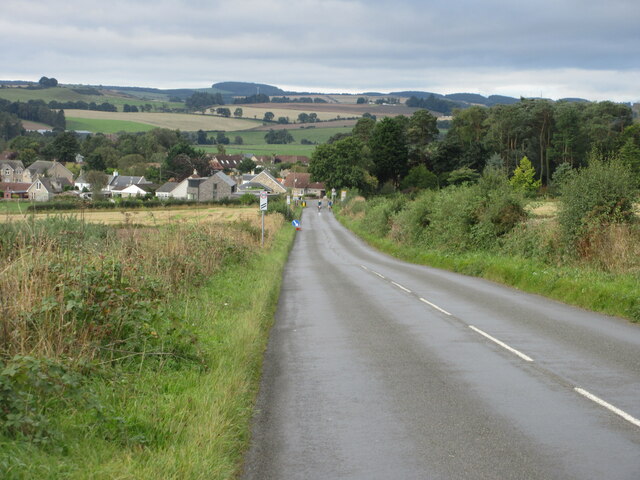
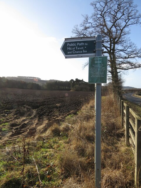
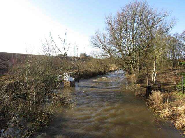
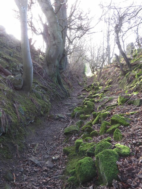
Hill of Tarvit Mansionhouse & Garden Images

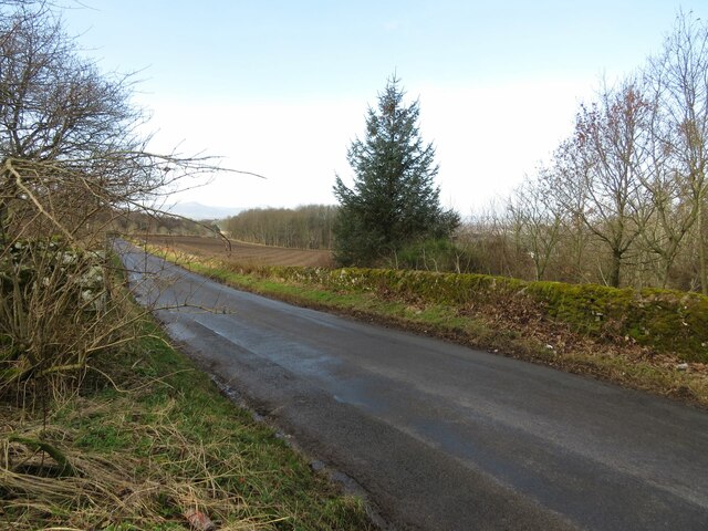
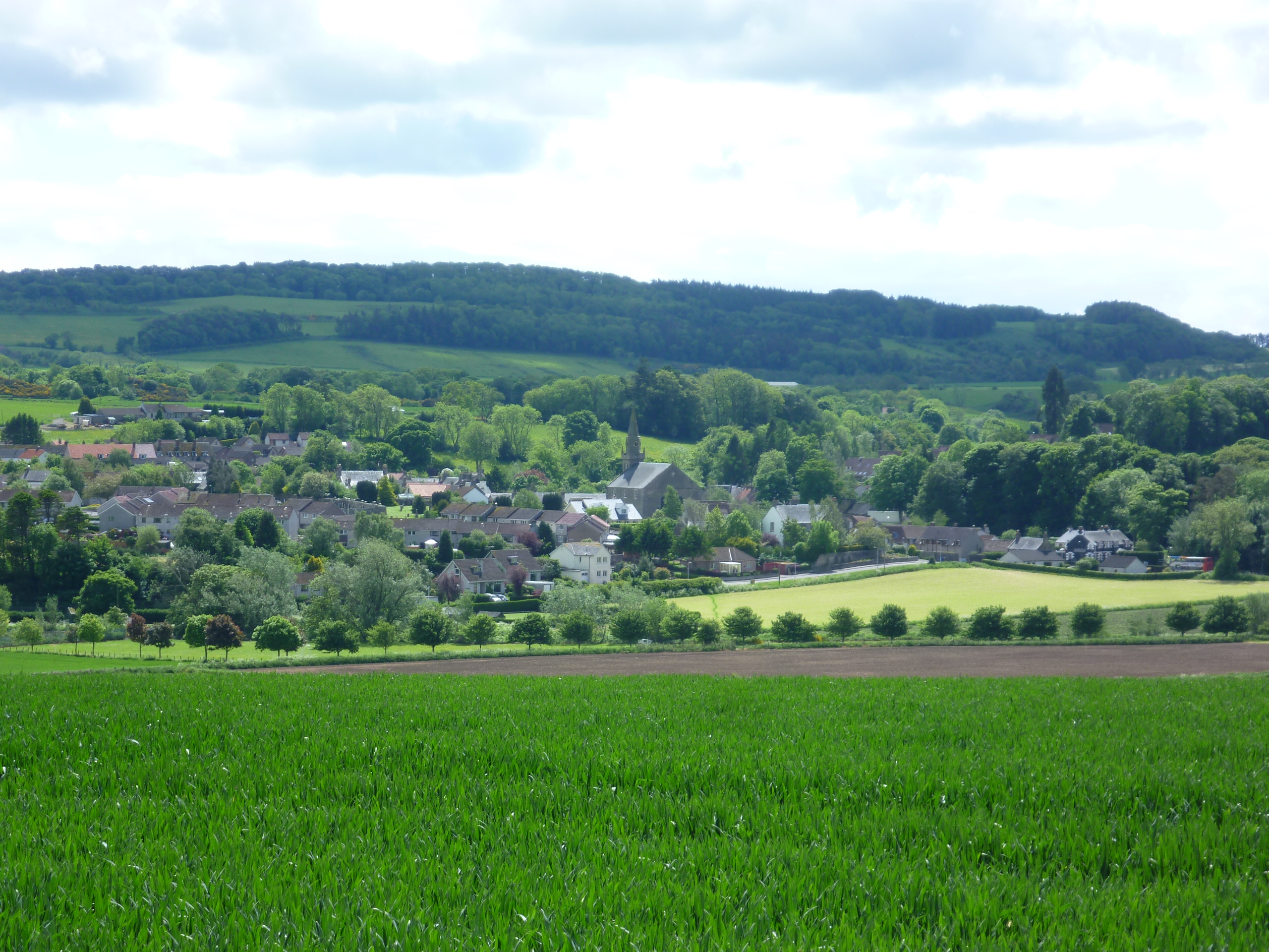
Images are sourced within 2km of 56.295/-3.005 or Grid Reference NO3711. Thanks to Geograph Open Source API. All images are credited.

Cupar Cemetery Looking westwards over to the newer section of Cupar Cemetery.
Cupar Cemetery
Looking westwards over to the newer section of Cupar Cemetery.
Cupar Golf Course Looking over the nine hole Cupar Golf Course, on the north slope of the Hill of Tarvit, from the clubhouse area.
Cupar Golf Course
Looking over the nine hole Cupar Golf Course, on the north slope of the Hill of Tarvit, from the clubhouse area.
Highest point of Cupar Golf Course The view from the highest point of the golf course at Cupar from the seventh tee.
Highest point of Cupar Golf Course
The view from the highest point of the golf course at Cupar from the seventh tee.
The Moor Road The path over Ceres Moor heading towards Cupar from Ceres.
The Moor Road
The path over Ceres Moor heading towards Cupar from Ceres.
C8 (Fife) Road towards Ceres The C8 road heading down the hill south-westwards towards Ceres.
C8 (Fife) Road towards Ceres
The C8 road heading down the hill south-westwards towards Ceres.
Stubble, Chance Inn
Stubble, Chance Inn
Annotated benchmark, Woodburne Stables, Ceres Beautifully annotated cut benchmark, described on database at <span class="nowrap"><a title="https://www.bench-marks.org.uk/bm148058" rel="nofollow ugc noopener" href="https://www.bench-marks.org.uk/bm148058">Link</a><img style="margin-left:2px;" alt="External link" title="External link - shift click to open in new window" src="https://s1.geograph.org.uk/img/external.png" width="10" height="10"/></span>.
Annotated benchmark, Woodburne Stables, Ceres
Beautifully annotated cut benchmark, described on database at LinkExternal link.
The tattered remains of NCN1 I dont tag the National Cycle Network anymore since Sustrans dismantled large chunks of it making the signage confusing and actually spending money covering up the numbers and erecting silly signs like this. The route is of course still there but only promoted as a lot of fragments scattered over the land.

The road that they are worried about is quiet. (There is a short bit of A916 first)
The tattered remains of NCN1
I dont tag the National Cycle Network anymore since Sustrans dismantled large chunks of it making the signage confusing and actually spending money covering up the numbers and erecting silly signs like this. The route is of course still there but only promoted as a lot of fragments scattered over the land. The road that they are worried about is quiet. (There is a short bit of A916 first)
Benchmark, Chance Inn Ordnance Survey benchmark, described on database at <span class="nowrap"><a title="https://www.bench-marks.org.uk/bm163965" rel="nofollow ugc noopener" href="https://www.bench-marks.org.uk/bm163965">Link</a><img style="margin-left:2px;" alt="External link" title="External link - shift click to open in new window" src="https://s1.geograph.org.uk/img/external.png" width="10" height="10"/></span>. For context photo, see <a href="https://www.geograph.org.uk/photo/7462703">NO3710 : Wall, Chance Inn</a>.
Benchmark, Chance Inn
Ordnance Survey benchmark, described on database at LinkExternal link. For context photo, see NO3710 : Wall, Chance Inn.
Footpath to Chance Inn and Hill of Tarvit
River Eden south of Cupar Muir
Lovely old footpath to Scotstarvit Tower
Minor road to Springfield This road leaves the A916 sharply in the next square east (NO3711) and ends at Hammerhead Toll after crossing the A914 and passing through Springfield.
Minor road to Springfield
This road leaves the A916 sharply in the next square east (NO3711) and ends at Hammerhead Toll after crossing the A914 and passing through Springfield.
Scotstarvit Tower
Scotstarvit Tower
Scotstarvit Tower and Cottage from the south
Wall, Chance Inn There is an Ordnance Survey benchmark on this wall. See <a href="https://www.geograph.org.uk/photo/7430123">NO3710 : Benchmark, Chance Inn</a>
Wall, Chance Inn
There is an Ordnance Survey benchmark on this wall. See NO3710 : Benchmark, Chance Inn
Field at Curling Pond Road A rather large field, just north of Curling Pond Road at the outskirts of Ceres. Curling Pond Road leads to, surprise, the Curling Pond, then continues and ends at a wastewater treatment plant.
Field at Curling Pond Road
A rather large field, just north of Curling Pond Road at the outskirts of Ceres. Curling Pond Road leads to, surprise, the Curling Pond, then continues and ends at a wastewater treatment plant.
Cedar tree In the grounds of Hill of Tarvit Mansion House near Cupar is this specimen of 'Cedrus atlantica', the Atlas Cedar. This tree has a slight blue tinge (known as the 'glaucous' form) indicating that it is one of the cultivated varieties. This species is native to Morocco and Algeria.
See also: <a title="https://www.geograph.org.uk/article/Hill-of-Tarvit-Mansion-House-Gardens" href="https://www.geograph.org.uk/article/Hill-of-Tarvit-Mansion-House-Gardens">Link</a>
Cedar tree
In the grounds of Hill of Tarvit Mansion House near Cupar is this specimen of 'Cedrus atlantica', the Atlas Cedar. This tree has a slight blue tinge (known as the 'glaucous' form) indicating that it is one of the cultivated varieties. This species is native to Morocco and Algeria. See also: Link
Show me another place!

Hill of Tarvit Mansionhouse & Garden is located at Grid Ref: NO3711 (Lat: 56.295, Lng: -3.005)

What 3 Words

///collected.encroach.blushed. Near Cupar, Fife

Related Wikis

Hill of Tarvit

The Hill of Tarvit is a 20th-century mansion house and gardens in Fife, Scotland. They were designed by Sir Robert Lorimer and are today owned by the National...

Scotstarvit Tower

Scotstarvit Tower is a tower house in Fife, Scotland. It is situated 2 miles (3.2 km) south of Cupar, between Tarvit Hill and Walton Hill, south of the...

St Andrews Burghs (UK Parliament constituency)

St Andrews Burghs was a district of burghs constituency, representing various burghs of Fife, Scotland, in the House of Commons of the Parliament of the...

Ceres, Fife

Ceres is a village in Fife, Scotland, located in a small glen approximately 2 miles (3 km) over the Ceres Moor from Cupar and 7 mi (11 km) from St Andrews...

Nearby Amenities

Located within 500m of 56.295,-3.005
Power: pole
Lat/Long: 56.2987144/-3.0023597
Power: pole
Lat/Long: 56.2991317/-3.0041552
Power: pole
Lat/Long: 56.2982575/-3.0005138
Power: pole
Lat/Long: 56.2978722/-2.9988426
Hill of Tarvit
Ele: 211
Natural: peak
Lat/Long: 56.2968376/-3.010677
Barrier: stile
Lat/Long: 56.2956692/-3.0074578
Tourism: viewpoint
Lat/Long: 56.2968143/-3.0106663
Power: pole
Lat/Long: 56.2958517/-3.0022773
Power: pole
Lat/Long: 56.2961852/-3.0021168
Power: pole
Lat/Long: 56.2965112/-3.0019597
Power: pole
Lat/Long: 56.2968438/-3.0018043
Power: pole
Lat/Long: 56.2971793/-3.0016284
Power: pole
Lat/Long: 56.2974911/-3.0014747
Power: pole
Lat/Long: 56.2978843/-3.001461
Power: pole
Lat/Long: 56.2984036/-3.0014542
Leisure: picnic_table
Lat/Long: 56.2920301/-3.0060088
Bench
Backrest: no
Lat/Long: 56.2919999/-3.0060434
Wemyss Hill Monument
Historic: monument
Inscription: 1893
Lat/Long: 56.2968122/-3.0107211
Bicycle Parking
Capacity: 10
Covered: no
Fee: no
Lat/Long: 56.2946481/-3.0066988
The data included in this document is from www.openstreetmap.org. The data is made available under ODbL.

Have you been to Hill of Tarvit Mansionhouse & Garden?

Leave your review of Hill of Tarvit Mansionhouse & Garden below (or comments, questions and feedback).