Barmston, Middle

Settlement in Durham

England

Barmston, Middle

The Washington Arms Two versions of that title here.
The Old Hall in Washington Village was the medieval home of the Washington family, US President George Washington's ancestors.
Much is made of that connection, including a theory that the Washington crest, seen here on railings on the village green, influenced the design of the American flag.
It's also a good name for a pub.
The Washington Arms Credit: Des Blenkinsopp

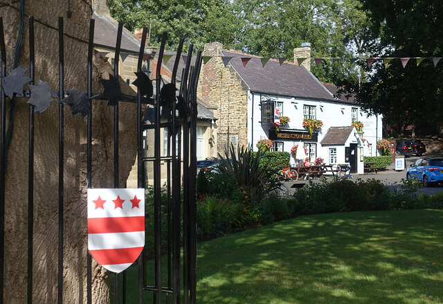
Barmston is a small village located in Middle, Durham, England. It is situated near the coast, approximately 3 miles south of the town of Hartlepool. The village is known for its picturesque countryside and peaceful atmosphere, making it an ideal destination for those seeking a quiet retreat.

Barmston is home to a mix of residential properties, ranging from traditional cottages to modern houses. The village also has a small primary school, a church, and a community center that hosts various events and activities throughout the year.

In terms of amenities, Barmston has a few local shops and pubs, providing residents with essential goods and services. The village is well-connected by road, with easy access to nearby towns and cities such as Durham and Middlesbrough.

Overall, Barmston is a charming and welcoming village, offering a mix of rural tranquility and convenient access to urban amenities. Its close proximity to the coast and beautiful countryside make it a popular choice for those looking to escape the hustle and bustle of city life.

If you have any feedback on the listing, please let us know in the comments section below.

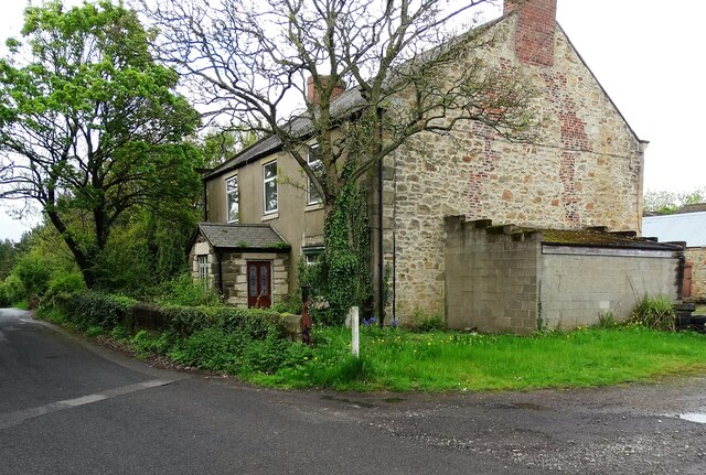
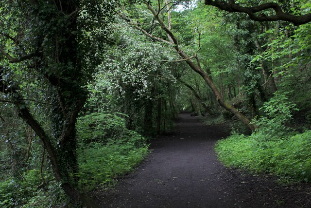
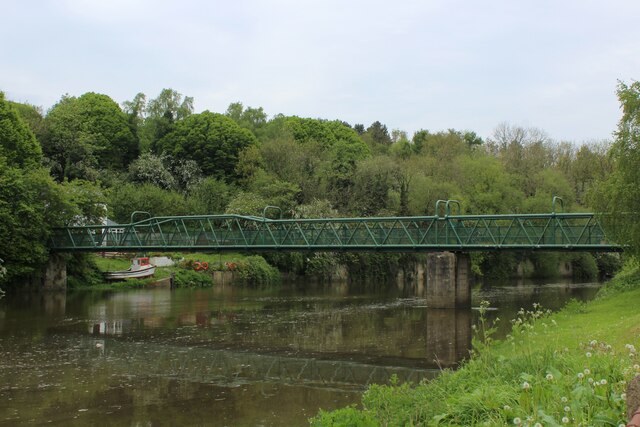
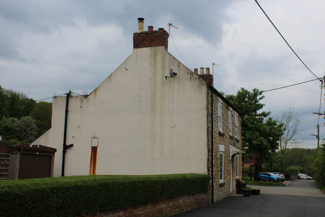
Barmston, Middle Images

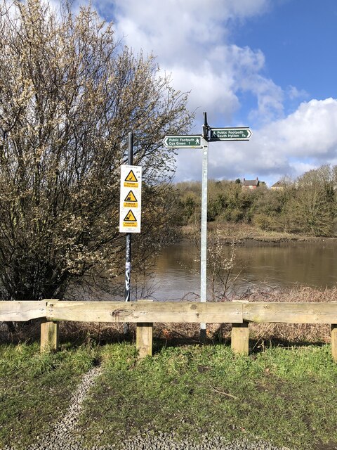
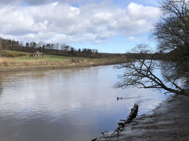
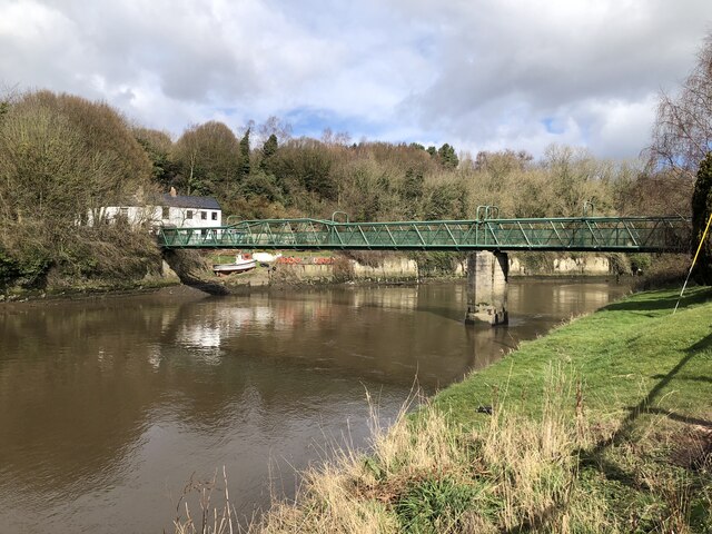
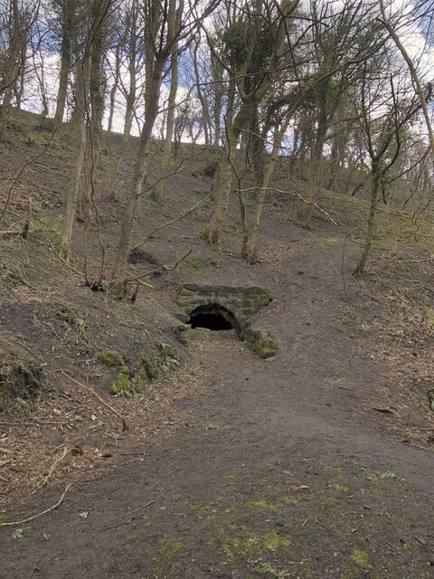
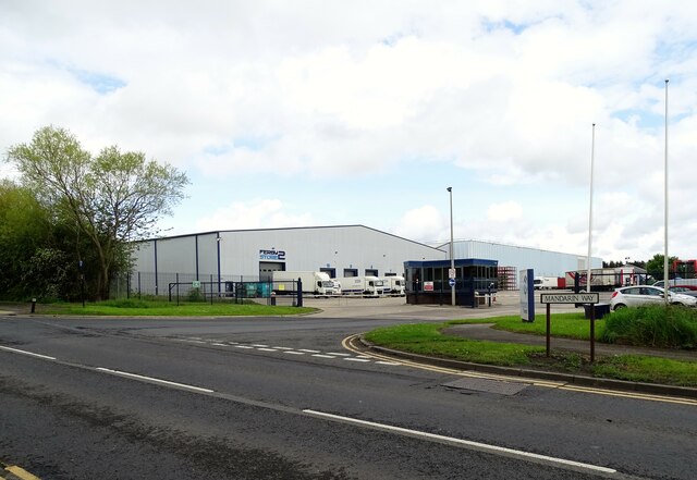
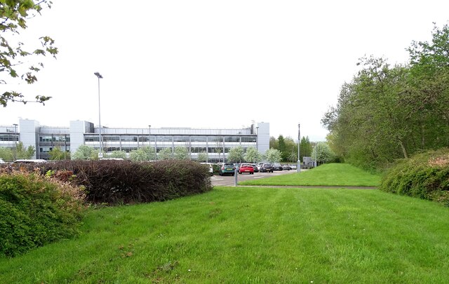
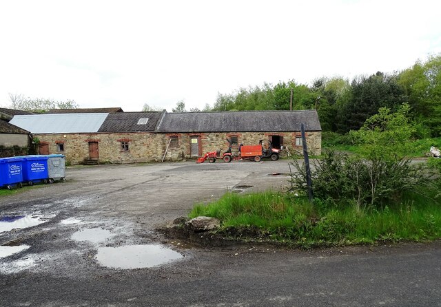
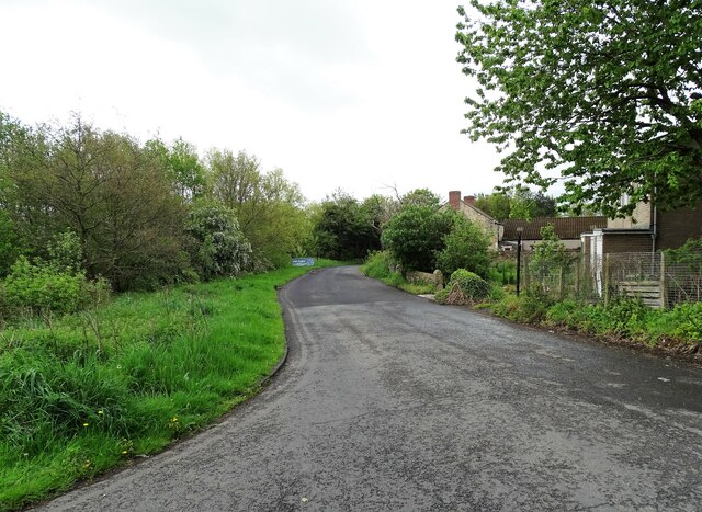
Images are sourced within 2km of 54.901531/-1.486908 or Grid Reference NZ3356. Thanks to Geograph Open Source API. All images are credited.

The Washington Arms Two versions of that title here.
The Old Hall in Washington Village was the medieval home of the Washington family, US President George Washington's ancestors.
Much is made of that connection, including a theory that the Washington crest, seen here on railings on the village green, influenced the design of the American flag.
It's also a good name for a pub.
The Washington Arms
Two versions of that title here. The Old Hall in Washington Village was the medieval home of the Washington family, US President George Washington's ancestors. Much is made of that connection, including a theory that the Washington crest, seen here on railings on the village green, influenced the design of the American flag. It's also a good name for a pub.
Sundial over the Gate In the garden at Washington Old Hall.
A sundial site which looks a bit odd, if not actually unsafe. I guess it's OK. Just don't slam the gate.
Sundial over the Gate
In the garden at Washington Old Hall. A sundial site which looks a bit odd, if not actually unsafe. I guess it's OK. Just don't slam the gate.
Apples at the Old Hall In the garden at Washington Old Hall.
Apples at the Old Hall
In the garden at Washington Old Hall.
Sunken boat in the River Wear
Direction and warning signs at path junction beside the River Wear
River Wear beside Washington Waterfowl Park
Footbridge across River Wear at Cox Green
Adit in riverbank near Cox Green One of several adits in the vicinity of Cox Green. The tunnels were used to extract sandstone from beneath Penshaw Hill for loading onto boats moored on the adjacent River Wear,
Adit in riverbank near Cox Green
One of several adits in the vicinity of Cox Green. The tunnels were used to extract sandstone from beneath Penshaw Hill for loading onto boats moored on the adjacent River Wear,
Factories on Mandarin Way Part of Pattinson Industrial Estate, on the east side of Washington. Built on former farmland in the late 20th century.
Factories on Mandarin Way
Part of Pattinson Industrial Estate, on the east side of Washington. Built on former farmland in the late 20th century.
Waterview Park offices This large office block is occupied by HM Revenue and Customs with over 2000 staff based here. It is on Mandarin Way on the eastern edge of Washington.
Waterview Park offices
This large office block is occupied by HM Revenue and Customs with over 2000 staff based here. It is on Mandarin Way on the eastern edge of Washington.
Old farm buildings at Middle Barmston Middle Barmston farm is an old Victorian farmstead which is now used by Washington Wetland Centre. No longer a working farm, these outbuildings would originally have been stables and cattle byres.
Old farm buildings at Middle Barmston
Middle Barmston farm is an old Victorian farmstead which is now used by Washington Wetland Centre. No longer a working farm, these outbuildings would originally have been stables and cattle byres.
Top of Barmston Lane At the junction with Madarin Way. The lane leads past Middle Barmston Farm here and down to the Washington Wetland Centre.
Top of Barmston Lane
At the junction with Madarin Way. The lane leads past Middle Barmston Farm here and down to the Washington Wetland Centre.
Former farmhouse The mid 19th century farmhouse at Middle Barmston. No longer used as such.
Former farmhouse
The mid 19th century farmhouse at Middle Barmston. No longer used as such.
Weardale Way heading towards Low Lambton and Cox Green The long distance footpath in woodland beside the River Wear
Weardale Way heading towards Low Lambton and Cox Green
The long distance footpath in woodland beside the River Wear
Footbridge across the River Wear at Cox Green Passing this structure on the Weardale Way - but not crossing it.
The footbridge replaced a ferry in 1958, which consisted of a solitary rowing boat.
Footbridge across the River Wear at Cox Green
Passing this structure on the Weardale Way - but not crossing it. The footbridge replaced a ferry in 1958, which consisted of a solitary rowing boat.
Barmston Ferry A rowing boat used to cross the River Wear at this point, until the footbridge was opened in 1958.
The scene photographed on the Weardale Way in Cox Green, upon the opposite bank.
Barmston Ferry
A rowing boat used to cross the River Wear at this point, until the footbridge was opened in 1958. The scene photographed on the Weardale Way in Cox Green, upon the opposite bank.
Oddfellows Arms, Cox Green Watering hole passed by on the Weardale Way long distance footpath
Oddfellows Arms, Cox Green
Watering hole passed by on the Weardale Way long distance footpath
River Wear beside Ayton's Wood The river has become tidal at this point, and appears to be flowing upstream as we follow the Weardale Way - which hugs the bank for several miles between Mount Pleasant and the outskirts of Sunderland.
It should be noted that the water has become pretty unpleasant looking, with several clumps of rubbish and debris floating around aimlessly.
River Wear beside Ayton's Wood
The river has become tidal at this point, and appears to be flowing upstream as we follow the Weardale Way - which hugs the bank for several miles between Mount Pleasant and the outskirts of Sunderland. It should be noted that the water has become pretty unpleasant looking, with several clumps of rubbish and debris floating around aimlessly.
Show me another place!

Barmston, Middle is located at Grid Ref: NZ3356 (Lat: 54.901531, Lng: -1.486908)

Unitary Authority: Sunderland

Police Authority: Northumbria

What 3 Words

///length.barn.pans. Near Washington, Tyne & Wear

Related Wikis

WWT Washington

WWT Washington Wetland Centre is a wetland reserve managed by the Wildfowl and Wetlands Trust at Washington, Tyne and Wear, North East England. Established...

Washington railway station (England)

Washington railway station served the town of Washington, Tyne and Wear, England from 1835 to 1963, initially on the Stanhope & Tyne Railway and later...

Cox Green, Tyne and Wear

Cox Green is a village in the Sunderland district, Tyne and Wear, England, situated on the south bank of the River Wear between Penshaw and Offerton. The...

Washington and Sunderland West (UK Parliament constituency)

Washington and Sunderland West is a constituency represented in the House of Commons of the UK Parliament since its 2010 creation by Sharon Hodgson, a...

Nearby Amenities

Located within 500m of 54.901531,-1.486908
Bus Stop
WASHINGTON DISTRICT 15 EXIT
Bus: yes
Local Ref: W
Naptan AtcoCode: 410000023151
Naptan Bearing: W
Naptan CommonName: WASHINGTON DISTRICT 15 EXIT
Naptan Indicator: W
Naptan Landmark: SLIP ROAD OUTSIDE PATTINSON INDUSTRIAL ESTATE
Naptan NaptanCode: twrdtmpw
Naptan Street: SUNDERLANDS HIGHWAY
Naptan Verified: no
Public Transport: platform
Source: naptan_import
Lat/Long: 54.9052643/-1.4909306
Bus Stop
PATTINSON ROAD-ALSTON ROAD-N/B
Bus: yes
Local Ref: N
Naptan AtcoCode: 410000023153
Naptan Bearing: N
Naptan CommonName: PATTINSON ROAD-ALSTON ROAD-N/B
Naptan Indicator: N
Naptan Landmark: OUTSIDE ALSTON ROAD JUNCTION
Naptan NaptanCode: twrdtmtd
Naptan Street: PATTINSON ROAD
Naptan Verified: no
Public Transport: platform
Source: naptan_import
Lat/Long: 54.903334/-1.4892239
Bus Stop
HMRC Waterview Park
Bus: yes
Departures Board: timetable
Local Ref: E
Naptan AtcoCode: 410000023929
Naptan Bearing: E (W from survey)
Naptan CommonName: WATERVIEW PARK STAND 1
Naptan Indicator: E
Naptan Landmark: OUTSIDE BARMSTON LANE
Naptan NaptanCode: twrgtgpd
Naptan Street: MANDARIN WAY
Naptan Verified: yes
Public Transport: platform
Shelter: yes
Source: naptan_import; survey
Lat/Long: 54.9021575/-1.4851726
Bus Stop
HMRC Waterview Park
Bus: yes
Departures Board: timetable
Local Ref: E
Naptan AtcoCode: 410000023930
Naptan Bearing: E (W from survey)
Naptan CommonName: WATERVIEW PARK STAND 2
Naptan Indicator: E
Naptan Landmark: OUTSIDE BARMSTON LANE
Naptan NaptanCode: twrgtgpa
Naptan Street: MANDARIN WAY
Naptan Verified: yes
Public Transport: platform
Shelter: yes
Source: naptan_import; survey
Lat/Long: 54.9021591/-1.4848302
Bus Stop
HMRC Waterview Park
Bus: yes
Departures Board: timetable
Local Ref: E
Naptan AtcoCode: 410000023931
Naptan Bearing: E (W from survey)
Naptan CommonName: WATERVIEW PARK STAND 3
Naptan Indicator: E
Naptan Landmark: OUTSIDE BARMSTON LANE
Naptan NaptanCode: twrgtamw
Naptan Street: MANDARIN WAY
Naptan Verified: yes
Public Transport: platform
Shelter: yes
Source: naptan_import; survey
Lat/Long: 54.9021876/-1.4845191
Bus Stop
PATTINSON ROAD-MANDARIN WAY-S/B
Bus: yes
Local Ref: S
Naptan AtcoCode: 410000023932
Naptan Bearing: S
Naptan CommonName: PATTINSON ROAD-MANDARIN WAY-S/B
Naptan Indicator: S
Naptan Landmark: OUTSIDE MANDARIN WAY JUNCTION
Naptan NaptanCode: twrgtgmw
Naptan Street: PATTINSON ROAD
Naptan Verified: no
Public Transport: platform
Source: naptan_import
Lat/Long: 54.9031886/-1.4888358
Bicycle Parking
WWT visitor parking
Capacity: 8
Lat/Long: 54.8997443/-1.4851442
Ncn Milepost: mills
Sustrans Ref: MP323
Lat/Long: 54.9002057/-1.4866719
Crossing
Crossing: unmarked
Crossing Island: no
Crossing Markings: no
Tactile Paving: yes
Lat/Long: 54.9053775/-1.4879233
Power: tower
Lat/Long: 54.8990285/-1.4889467
Power: tower
Lat/Long: 54.9013088/-1.4915397
Power: tower
Lat/Long: 54.9034316/-1.4939626
Crossing
Crossing: unmarked
Crossing Island: no
Crossing Markings: no
Tactile Paving: yes
Lat/Long: 54.9024489/-1.488108
Post Box
Ref: NE38 516
Lat/Long: 54.9025081/-1.4913431
Post Box
Ref: NE38 687
Lat/Long: 54.9027606/-1.4907007
Mini Roundabout
Lat/Long: 54.9020061/-1.4824387
Communication Mobile Phone: yes
Man Made: mast
Tower Type: communication
Lat/Long: 54.9025144/-1.4879393
A World of Fires
Addr City: Washington
Addr Housenumber: 6
Addr Postcode: NE38 8QA
Addr Street: Lee Close
Opening Hours: Mo-Fr 09:00-17:00
Payment Cash: yes
Payment Credit Cards: yes
Payment Mastercard: yes
Payment Visa: yes
Phone: +44 191 416 0609
Shop: fireplace
Website: https://aworldoffires.co.uk/
Lat/Long: 54.9015626/-1.4938533
Barrier: wicket_gate
Lat/Long: 54.9001687/-1.4823745
The data included in this document is from www.openstreetmap.org. The data is made available under ODbL.

Have you been to Barmston, Middle?

Leave your review of Barmston, Middle below (or comments, questions and feedback).