Hatch Furlong Ewell
Heritage Site in Surrey Epsom and Ewell
England
Hatch Furlong Ewell
Hatch Furlong is a historic heritage site located in Ewell, Surrey, England. This site is of great significance due to its historical and cultural importance, dating back to the medieval period.
The name "Hatch Furlong" is derived from the Old English word "hæcce," meaning a small gate or wicket, and "furlong," which refers to a unit of measurement used in medieval England. This suggests that the site was once a small gate or entrance leading to a larger area of land.
The heritage site consists of an ancient timber-framed building, believed to have been constructed in the 15th century. The building's architecture and construction techniques provide valuable insights into the medieval period, making it an important site for historical research and preservation.
The building features intricately carved wooden beams and a thatched roof, giving it a distinct charm and character. It is a fine example of traditional English architecture from the medieval era.
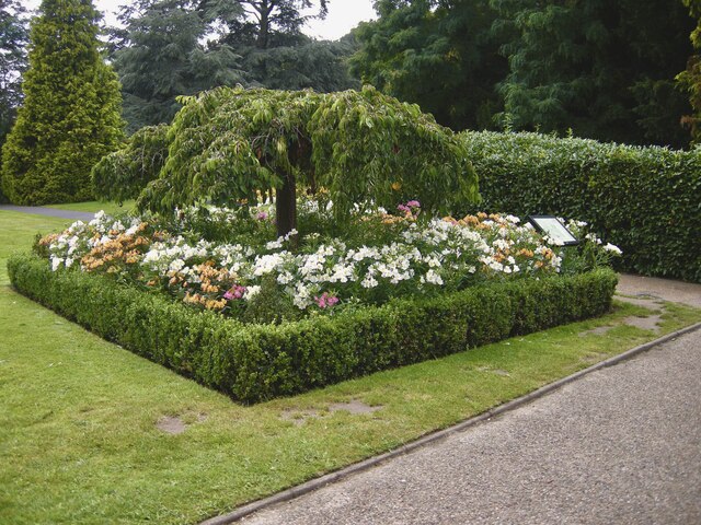
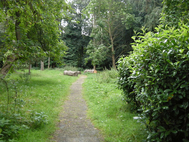
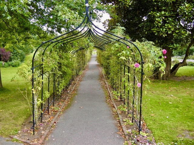
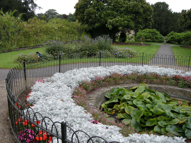
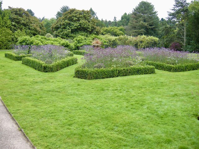
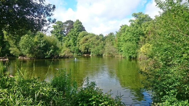
Hatch Furlong is also notable for its picturesque surroundings, with a beautiful garden and a serene pond nearby. The site offers visitors a chance to immerse themselves in the tranquility of the English countryside while appreciating its rich historical heritage.
Today, Hatch Furlong is open to the public, allowing visitors to explore the building's interior, enjoy the scenic surroundings, and learn about the history and significance of this unique heritage site. It serves as a valuable reminder of the cultural legacy and architectural brilliance of the medieval period in England.
If you have any feedback on the listing, please let us know in the comments section below.
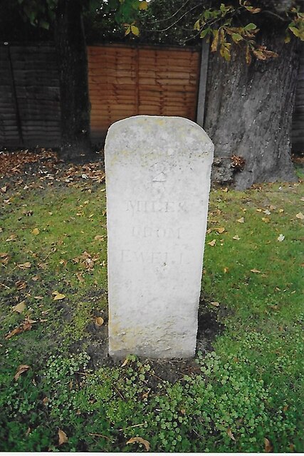
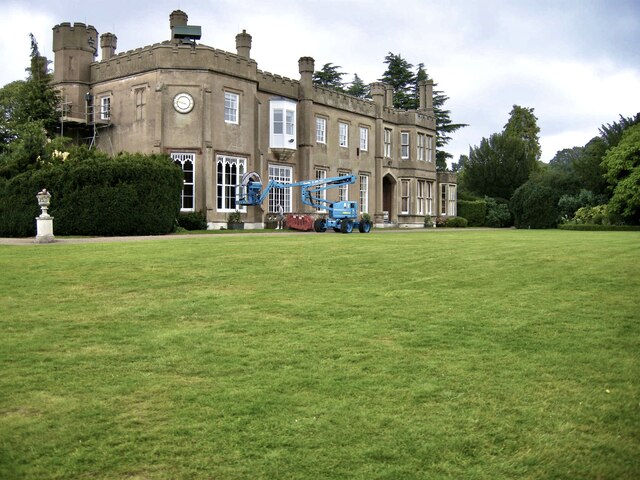
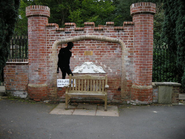
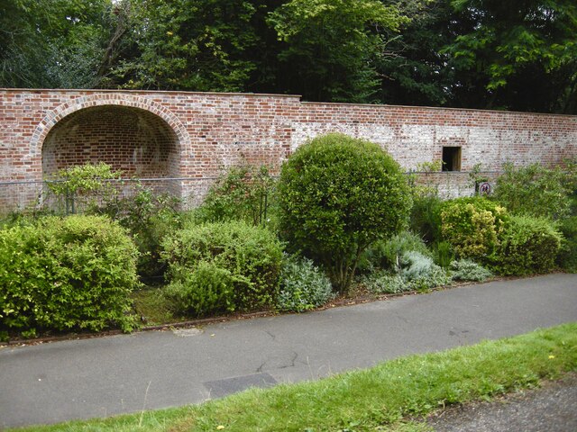
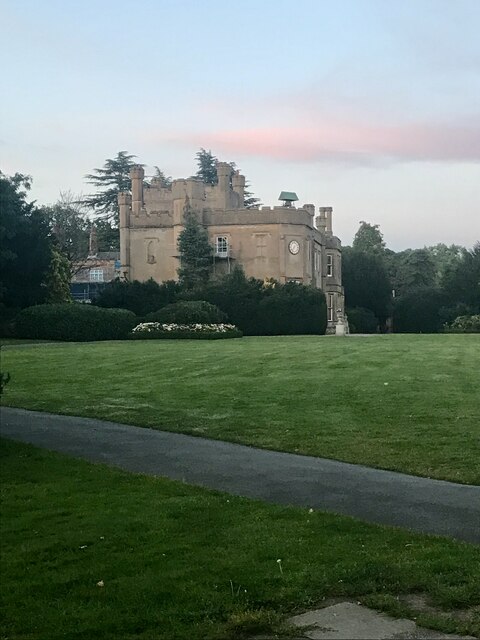
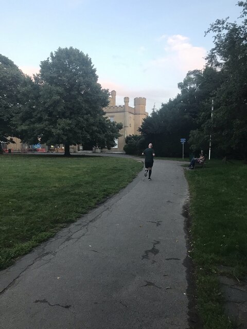
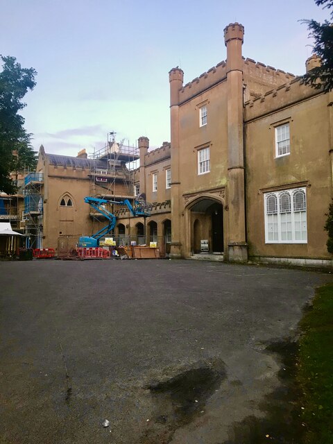
Hatch Furlong Ewell Images
Images are sourced within 2km of 51.348/-0.246 or Grid Reference TQ2262. Thanks to Geograph Open Source API. All images are credited.


Hatch Furlong Ewell is located at Grid Ref: TQ2262 (Lat: 51.348, Lng: -0.246)
Administrative County: Surrey
District: Epsom and Ewell
Police Authority: Surrey
What 3 Words
///order.dices.back. Near Ewell, Surrey
Nearby Locations
Related Wikis

Ewell
Ewell ( YOO-əl, inf. YOOL) is a town in the Borough of Epsom and Ewell in Surrey, England. It is approximately 12 miles (19 km) south of central London...

Ewell Castle School
Ewell Castle School is a 3–18 mixed, private day school and sixth form in Ewell, Epsom, Surrey, England. It was founded in 1926 by Herbert Budgell as a...
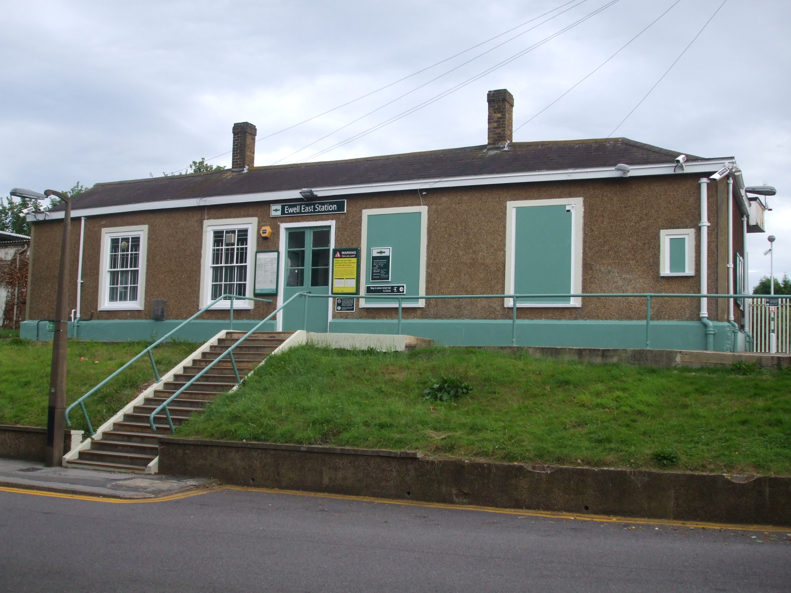
Ewell East railway station
Ewell East is one of two stations serving the town of Ewell in Surrey, England. It has two platforms, one for services to Sutton, West Croydon and London...

North East Surrey College of Technology
The North East Surrey College Of Technology (NESCOT) is a large further education and higher education college in Epsom and Ewell, Surrey, England that...
Surrey College of Music
The Surrey College of Music was founded in 1946 by music teacher and educational composer John Longmire (1902-1986) with composer and organist Reginald...
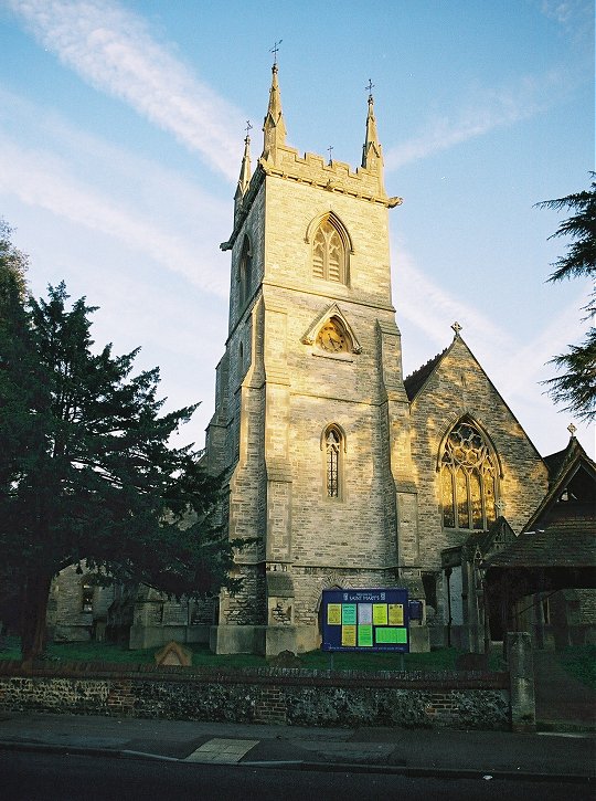
St Mary's Church, Ewell
The Anglican Church of St Mary the Virgin, Ewell is the civic church of the borough of Epsom and Ewell in the county of Surrey in South East England....

Fitznells Manor
Fitznells Manor is the last surviving manor house in the borough of Epsom and Ewell in Surrey, England. It is a Grade II listed building. == Development... ==

Ewell West railway station
Ewell West railway station is one of two stations serving the town of Ewell in Surrey, England. The station is served by South Western Railway. It is 12...
Nearby Amenities
Located within 500m of 51.348,-0.246Have you been to Hatch Furlong Ewell?
Leave your review of Hatch Furlong Ewell below (or comments, questions and feedback).