Aston, Middle
Settlement in Oxfordshire Cherwell
England
Aston, Middle

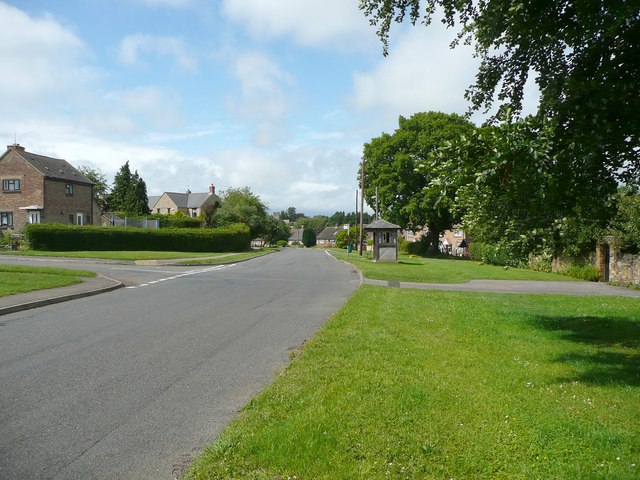
Aston is a small village located in the county of Oxfordshire, England. Situated in the Cherwell Valley, it lies approximately 8 miles east of Oxford and 2 miles west of Bicester. Aston falls under the administrative district of Cherwell and is part of the civil parish of Cherwell.
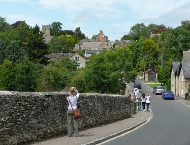
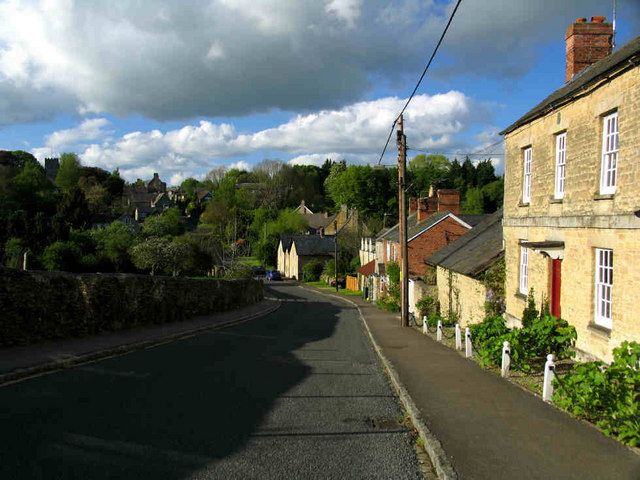
The village is known for its picturesque setting, surrounded by rolling countryside and scenic landscapes. Aston is primarily a residential area, with a population of around 1,000 people. The village retains its traditional charm, with many historic buildings and cottages dating back to the 17th and 18th centuries.
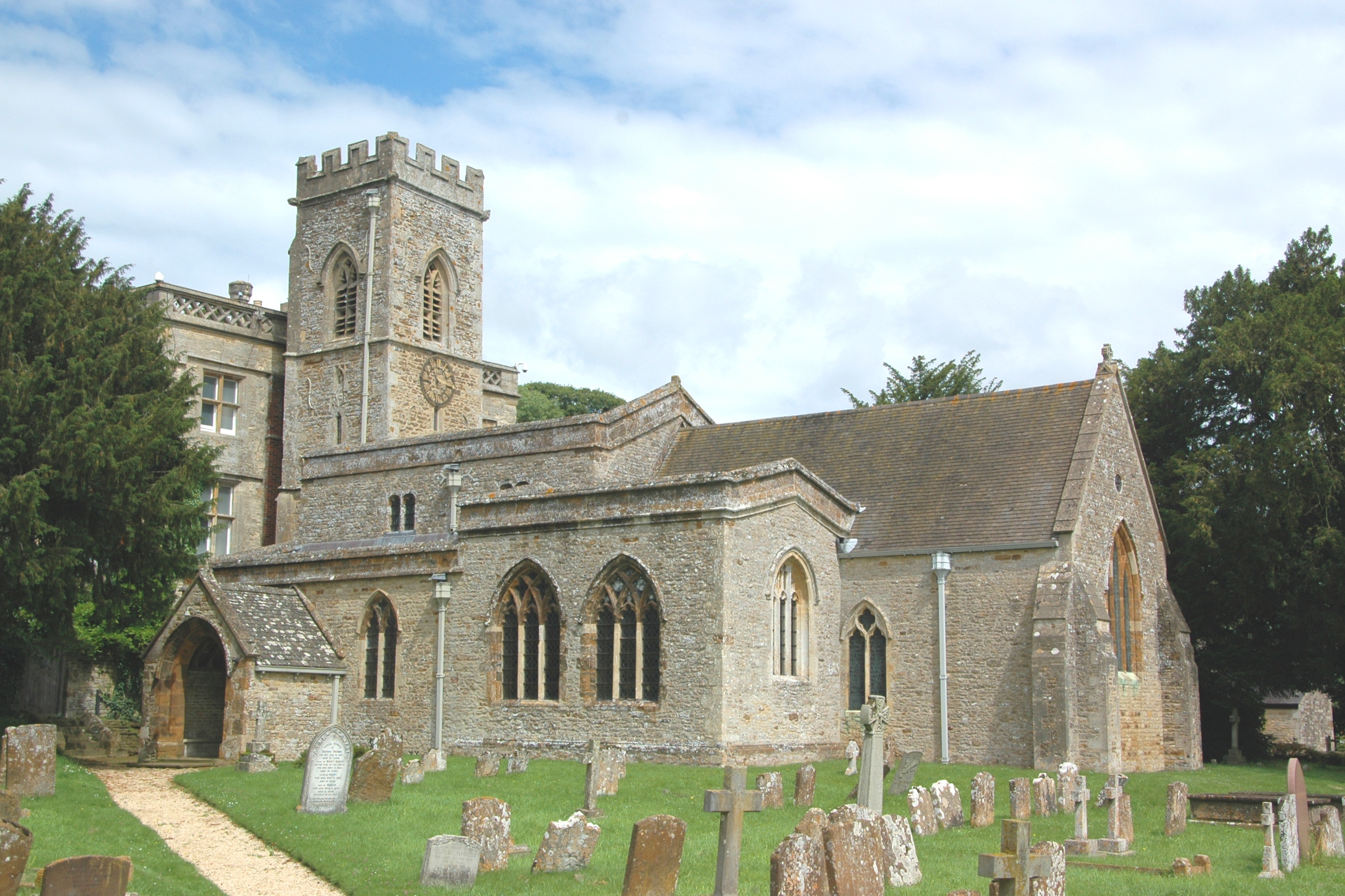
Aston is home to the Church of St. James, a beautiful medieval church that serves as a focal point for the community. The church features stunning stained glass windows and a striking tower, adding to the village's architectural appeal.
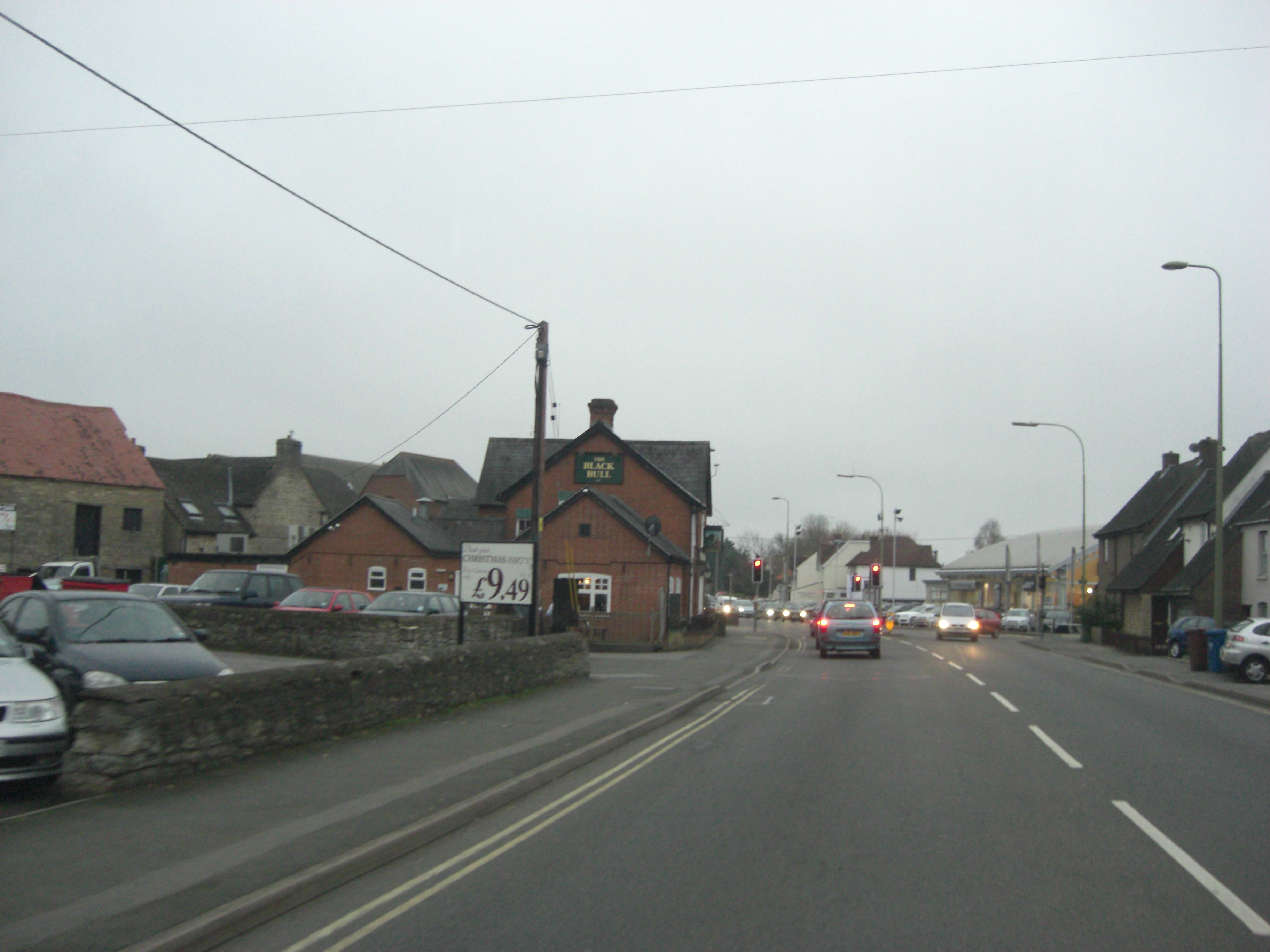
Despite its small size, Aston offers a range of amenities for its residents. These include a primary school, a village hall, a pub, and a local shop. The village also benefits from excellent transport links, with easy access to the A34 road and nearby railway stations in Bicester and Oxford.
Surrounded by the Oxfordshire countryside, Aston provides a tranquil and idyllic setting for residents and visitors alike. The village offers a close-knit community atmosphere and is a popular choice for those seeking a peaceful rural lifestyle within easy reach of urban centers.
If you have any feedback on the listing, please let us know in the comments section below.
Aston, Middle Images
Images are sourced within 2km of 51.939362/-1.310579 or Grid Reference SP4726. Thanks to Geograph Open Source API. All images are credited.


Aston, Middle is located at Grid Ref: SP4726 (Lat: 51.939362, Lng: -1.310579)
Administrative County: Oxfordshire
District: Cherwell
Police Authority: Thames Valley
What 3 Words
///firebird.numeral.distracts. Near Somerton, Oxfordshire
Nearby Locations
Related Wikis

Middle Aston
Middle Aston is a hamlet and civil parish in the English county of Oxfordshire, about 7 miles (11 km) northwest of Bicester. It used to have a country...
Steeple Aston
Steeple Aston is a village and civil parish on the edge of the Cherwell Valley, in the Cherwell District of Oxfordshire, England, about 12 miles (19 km...
A4260 road
The A4260 is a road that leads from the A422 Henneff Way, Banbury to Frieze Way near Oxford. == History == === Romans === The route followed by the road...
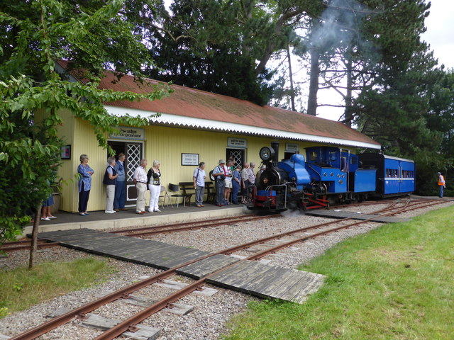
Beeches Light Railway
The Beeches Light Railway was a private narrow gauge railway in Steeple Aston, Oxfordshire, England, in the garden of the late Adrian Shooter, the former...
North Aston
North Aston is a village and civil parish about 7+1⁄2 miles (12 km) south of Banbury and 10 miles (16 km) north of Oxford. The 2001 Census recorded its...
Horsehay Sand Formation
The Horsehay Sand Formation is a geological formation in England. Part of the Great Oolite Group, it was deposited in the Bajocian to Bathonian stages...

Horsehay Quarries
Horsehay Quarries is a 8.4-hectare (21-acre) geological Site of Special Scientific Interest west of Bicester in Oxfordshire. It is a Geological Conservation...

Duns Tew
Duns Tew is an English village and civil parish about 7+1⁄2 miles (12 km) south of Banbury in Oxfordshire. The 2011 Census recorded the parish's population...
Nearby Amenities
Located within 500m of 51.939362,-1.310579Have you been to Aston, Middle?
Leave your review of Aston, Middle below (or comments, questions and feedback).