Harborough Banks

Heritage Site in Warwickshire

England

Harborough Banks

Grand Union Canal near Turner's Green
Grand Union Canal near Turner's Green Credit: Mark Percy

Harborough Banks is a historic site located in Warwickshire, England. It is considered a significant heritage site due to its rich historical and archaeological significance. The site is situated on a hill overlooking the River Avon, providing stunning views of the surrounding countryside.

The area is believed to have been inhabited since the Iron Age, with evidence of settlement dating back to over 2,000 years ago. Archaeological excavations have unearthed various artifacts such as pottery, tools, and coins, providing insight into the lives of the people who once lived here.

One of the notable features of Harborough Banks is the remnants of a Roman fort that once stood on the site. Built in the 1st century AD, the fort was strategically positioned to guard the Roman road that connected the nearby towns of Leicester and Alcester. The fort's layout and defensive structures can still be seen, offering a glimpse into Roman military architecture.

In addition to the fort, there are also traces of medieval earthworks and a moat that are believed to have been part of a later medieval settlement. These features indicate the site's importance and continuous occupation throughout history.

Today, Harborough Banks is a protected heritage site, managed by local authorities to ensure its preservation and accessibility to the public. Visitors can explore the site and enjoy the picturesque views while learning about its historical significance through information boards and guided tours. The site offers a unique opportunity to witness the layers of history that have shaped Warwickshire over the centuries.

If you have any feedback on the listing, please let us know in the comments section below.

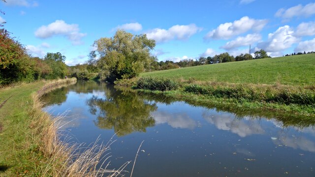
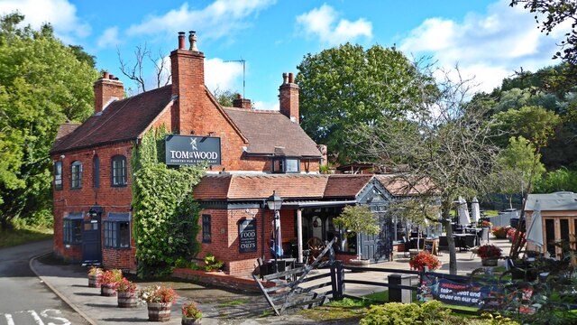
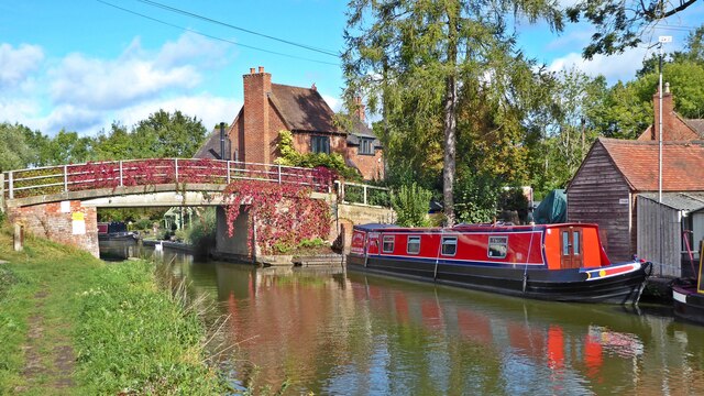
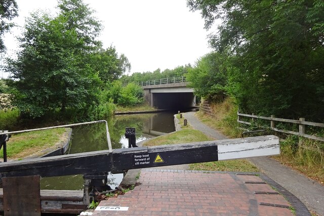
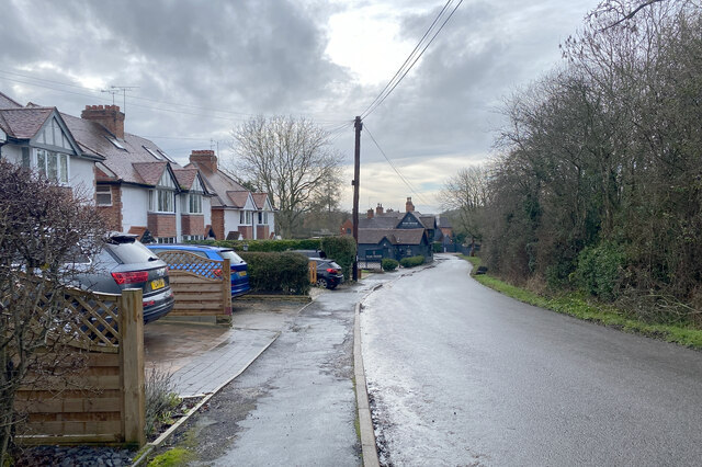
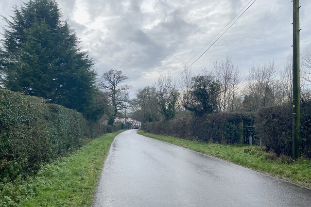
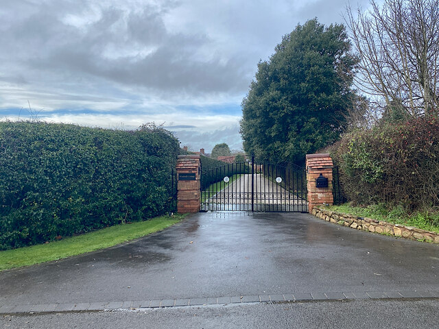
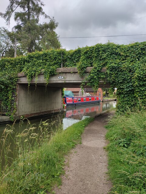
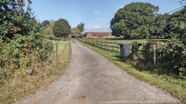
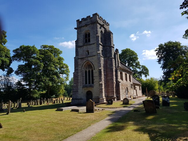
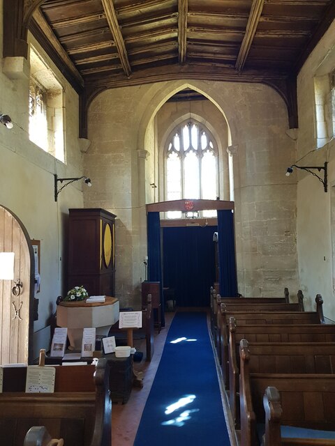
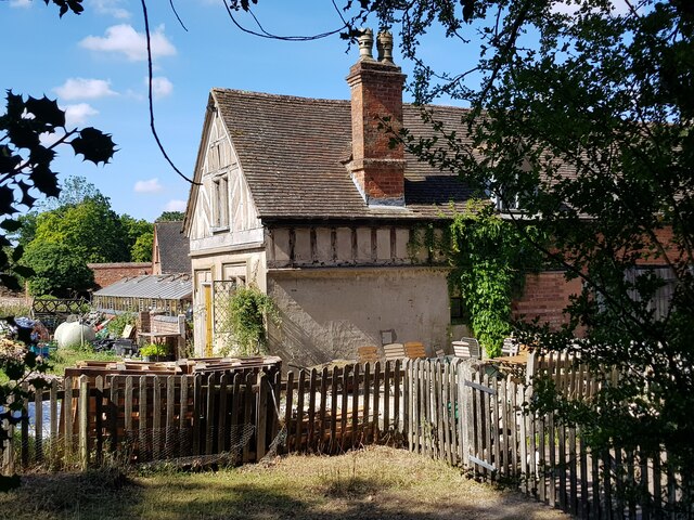
Harborough Banks Images

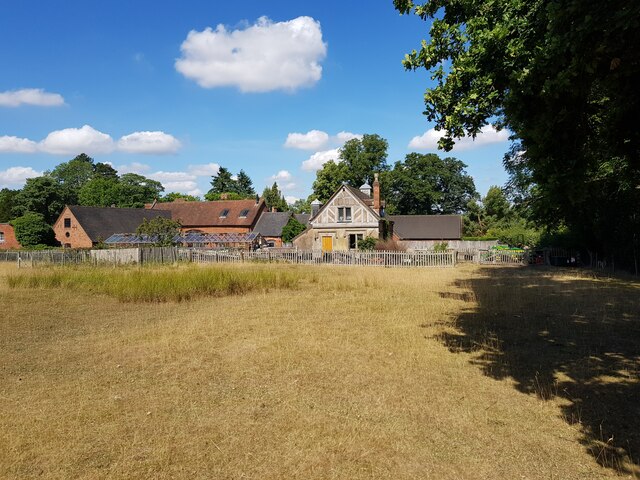
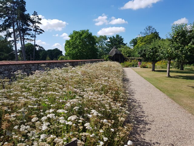
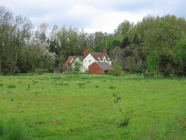
Images are sourced within 2km of 52.332/-1.728 or Grid Reference SP1870. Thanks to Geograph Open Source API. All images are credited.

Grand Union Canal near Turner's Green
Tom O'The Wood country pub and restaurant
Grand Union Canal at Turner's Green
Kingswood-Stratford Canal M40 Motorway Bridge.
Kingswood-Stratford Canal
M40 Motorway Bridge.
Approaching Turner's Green Finwood Road drops down into the canalside hamlet.
Approaching Turner's Green
Finwood Road drops down into the canalside hamlet.
Southwest on Finwod Road Finwood Road turns south from the Old Warwick Road for Turner's Green, ahead, and Lowsonford.
Southwest on Finwod Road
Finwood Road turns south from the Old Warwick Road for Turner's Green, ahead, and Lowsonford.
Gates to Windmill Cottage, Turner's Green An entrance on Finwood Road. Old maps show Windmill House here and a circular feature where a windmill  might have been. This is the same relatively high ground as the Rowington Mill site <a href="https://www.geograph.org.uk/photo/7378320">SP2070 : Rowington Mill, Rowington Green</a>.
Gates to Windmill Cottage, Turner's Green
An entrance on Finwood Road. Old maps show Windmill House here and a circular feature where a windmill might have been. This is the same relatively high ground as the Rowington Mill site SP2070 : Rowington Mill, Rowington Green.
Turner's Green Bridge
Path up to Green Farm Path and drive up to Green Farm
Path up to Green Farm
Path and drive up to Green Farm
St Michael's, Baddesley Clinton, Warwickshire  Next to but not part of the National Trust property.
St Michael's, Baddesley Clinton, Warwickshire
Next to but not part of the National Trust property.
St Michael's Church, Baddesley Clinton (interior 1)
The Cottage, Baddesley Clinton
St Michael's Church, Baddesley Clinton (interior 2)
Tomb for Sir Edward Ferrers and family In St Michael's Church, Baddesley Clinton. The family owned Baddesley Clinton for generations.
Tomb for Sir Edward Ferrers and family
In St Michael's Church, Baddesley Clinton. The family owned Baddesley Clinton for generations.
The Ferrer's memorial in St Michael's Church, Baddesley Clinton
Mini organ, St Michael's Church, Baddesley Clinton
Cottage and barn, Baddesley Clinton
Wildflowers in the walled garden, Baddesley Clinton This flower bed used to be full of Dahlias <a href="https://www.geograph.org.uk/photo/4132107">SP1971 : Baddesley Clinton Garden</a> but pests in the soil has made it impossible to grow them. Attempts to convert to natural flowers is proving problematic with one species dominating.
Wildflowers in the walled garden, Baddesley Clinton
This flower bed used to be full of Dahlias SP1971 : Baddesley Clinton Garden but pests in the soil has made it impossible to grow them. Attempts to convert to natural flowers is proving problematic with one species dominating.
Show me another place!

Harborough Banks is located at Grid Ref: SP1870 (Lat: 52.332, Lng: -1.728)

What 3 Words

///uttering.escorting.reflected. Near Hockley Heath, West Midlands

Nearby Locations

Harborough Banks

Related Wikis

Kingswood Junction

Kingswood Junction (grid reference SP185709) is a canal junction where the Stratford-upon-Avon Canal meets the Grand Union Canal at Kingswood, Warwickshire...

Kingswood, Warwickshire

Kingswood is an area in the civil parishes of Lapworth and Rowington in Warwick District, Warwickshire, England. It forms the main residential area of...

Lapworth railway station

Lapworth railway station serves the village of Kingswood, Warwickshire, near the village of Lapworth from which it takes its name. It has two platforms...

Bushwood

Bushwood is a hamlet in Warwickshire, located three miles north of Henley in Arden and a mile west of the M40 motorway. There is no village centre as such...

Baddesley Clinton

Baddesley Clinton (grid reference SP199714) is a moated manor house, about 8 miles (13 km) north-west of the town of Warwick, in the village of Baddesley...

Packwood House

Packwood House is a timber-framed Tudor manor house in Packwood on the Solihull border near Lapworth, Warwickshire. Owned by the National Trust since...

Lapworth

Lapworth is a village and civil parish in Warwickshire, England, which had a population of 2,100 according to the 2001 census; this had fallen to 1,828...

Rowington

Rowington is a village and civil parish in the English county of Warwickshire. It is five miles north-west of the town of Warwick and five miles south...

Nearby Amenities

Located within 500m of 52.332,-1.728
Seamark Type: gate
Source: survey
Waterway: lock_gate
Lat/Long: 52.3357035/-1.7276066
Source: survey
Lat/Long: 52.3354133/-1.7275193
Seamark Type: gate
Waterway: lock_gate
Lat/Long: 52.3276757/-1.7273448
Seamark Type: gate
Waterway: lock_gate
Lat/Long: 52.3314416/-1.7286952
Seamark Type: gate
Waterway: lock_gate
Lat/Long: 52.3344694/-1.7279467
Seamark Type: gate
Waterway: lock_gate
Lat/Long: 52.3278394/-1.7273919
Seamark Type: gate
Waterway: lock_gate
Lat/Long: 52.3316707/-1.7286723
Seamark Type: gate
Waterway: lock_gate
Lat/Long: 52.3331502/-1.7281096
Seamark Type: gate
Waterway: lock_gate
Lat/Long: 52.3360214/-1.7278852
Seamark Type: gate
Waterway: lock_gate
Lat/Long: 52.3354858/-1.7275491
Power: tower
Source: bing
Lat/Long: 52.3294505/-1.7260942
Power: tower
Source: bing
Lat/Long: 52.3315439/-1.7234051
Fee: yes
Network: Canal & River Trust
Note: sanitary station and pumpout
Sanitary Dump Station Suction: yes
Seamark Small Craft Facility Category: pump-out
Seamark Type: small_craft_facility
Water Point: yes
Waterway: sanitary_dump_station
Lat/Long: 52.3349921/-1.7279006
Seamark Type: gate
Waterway: lock_gate
Lat/Long: 52.332957/-1.7281816
Seamark Type: gate
Waterway: lock_gate
Lat/Long: 52.3346997/-1.7279997
Seamark Type: gate
Waterway: lock_gate
Lat/Long: 52.3358023/-1.727958
Waste Disposal
Lat/Long: 52.3360659/-1.7281613
Bench
Lat/Long: 52.3357176/-1.7282467
Fee: no
Waterway: water_point
Lat/Long: 52.334954/-1.7279255
Toilets
Shower: yes
Lat/Long: 52.3349661/-1.7276907
Generator Method: photovoltaic
Generator Output Electricity: yes
Generator Source: solar
Generator Type: solar_photovoltaic_panel
Location: roof
Power: generator
Lat/Long: 52.3348589/-1.7297325
Power: pole
Ref: 720190
Source: wpd_opendata
Transformer: distribution
Lat/Long: 52.3363618/-1.7285121
Power: pole
Source: bing
Lat/Long: 52.3356488/-1.7293784
Power: pole
Source: bing
Lat/Long: 52.3348228/-1.7302474
Power: pole
Source: bing
Lat/Long: 52.3342426/-1.7304915
Power: pole
Ref: 720186
Source: wpd_opendata
Transformer: distribution
Lat/Long: 52.3337493/-1.7306256
Power: pole
Source: bing
Lat/Long: 52.334182/-1.7316636
Power: pole
Source: bing
Lat/Long: 52.334123/-1.7328599
Power: pole
Source: bing
Lat/Long: 52.3340754/-1.7339301
Water Point
Access: permissive
Drinking Water: yes
Fee: no
Man Made: tap
Operator: Canal and River Trust
Waterway: water_point
Lat/Long: 52.3363591/-1.7278946
The data included in this document is from www.openstreetmap.org. The data is made available under ODbL.

Have you been to Harborough Banks?

Leave your review of Harborough Banks below (or comments, questions and feedback).