Hamilton Village

Heritage Site in Leicestershire

England

Hamilton Village

Development land south of Barkby Thorpe Work is shortly to start here as part of the construction of Thorpebury, a settlement 0f 4,500 houses.
Development land south of Barkby Thorpe Credit: Jonathan Thacker

The requested URL returned error: 429 Too Many Requests

If you have any feedback on the listing, please let us know in the comments section below.

Hamilton Village Images

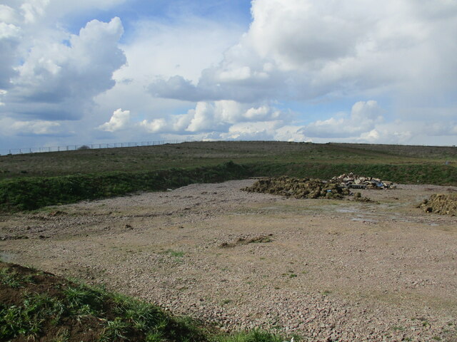
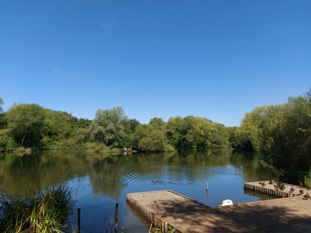
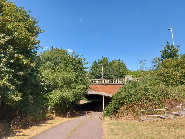
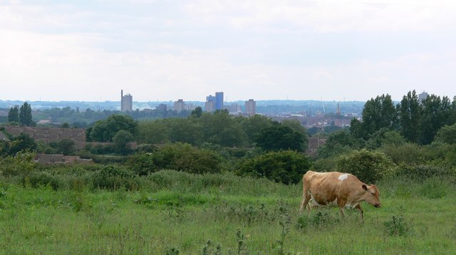
Images are sourced within 2km of 52.662/-1.047 or Grid Reference SK6407. Thanks to Geograph Open Source API. All images are credited.

Development land south of Barkby Thorpe Work is shortly to start here as part of the construction of Thorpebury, a settlement 0f 4,500 houses.
Development land south of Barkby Thorpe
Work is shortly to start here as part of the construction of Thorpebury, a settlement 0f 4,500 houses.
Beeby, All Saints
Beeby, All Saints
Hamilton Park Lake Part of the 39 acre park on the north-east edge of Leicester
Hamilton Park Lake
Part of the 39 acre park on the north-east edge of Leicester
Entrance to Hamilton Park beneath Sandhills Avenue, Leicester
Field by Scraptoft Lane
Lilac Avenue, Humberstone Garden City Seen from its junction with Laburnum Road.
Lilac Avenue, Humberstone Garden City
Seen from its junction with Laburnum Road.
Laburnum Road, Humberstone Garden City Seen from its junction with Lilac Avenue.
Laburnum Road, Humberstone Garden City
Seen from its junction with Lilac Avenue.
West end of Brompton Road, Hamilton Fading into the mist off Thornborough Way.
West end of Brompton Road, Hamilton
Fading into the mist off Thornborough Way.
South end of Whixley Way, Hamilton A footpath that crosses the middle of this section of the estate. At both ends it meets Thornborough Way, which describes something like a mirror image question mark shape.
South end of Whixley Way, Hamilton
A footpath that crosses the middle of this section of the estate. At both ends it meets Thornborough Way, which describes something like a mirror image question mark shape.
Moulton Road, Hamilton On the western edge of this part of the estate, with a park hiding in the mist on the left.
Moulton Road, Hamilton
On the western edge of this part of the estate, with a park hiding in the mist on the left.
Footpath into park off Moulton Road, Hamilton For more than one reason, I decided not to enter the park here on this occasion.
Footpath into park off Moulton Road, Hamilton
For more than one reason, I decided not to enter the park here on this occasion.
Thornborough Way, Hamilton
Muddy track north of Hamilton Hidden under the mud in the foreground is a bridge that carries the track across a drain as it heads in the general direction of Thurmaston.
Muddy track north of Hamilton
Hidden under the mud in the foreground is a bridge that carries the track across a drain as it heads in the general direction of Thurmaston.
Field north of Hamilton A track (barely discernible in this picture) crosses the north side of this field towards the horses grazing in the mist.
Field north of Hamilton
A track (barely discernible in this picture) crosses the north side of this field towards the horses grazing in the mist.
Drain in field north of Hamilton There is a pond hiding in the mist just beyond the line of trees in the distance. Fortunately, I saw it in time to avoid falling in.
Drain in field north of Hamilton
There is a pond hiding in the mist just beyond the line of trees in the distance. Fortunately, I saw it in time to avoid falling in.
Stillington Crescent, Hamilton Seen from its junction with Whixley Way.
Stillington Crescent, Hamilton
Seen from its junction with Whixley Way.
Whixley Way, Hamilton Looking towards the Aldfield Green play area from Stillington Crescent.
Whixley Way, Hamilton
Looking towards the Aldfield Green play area from Stillington Crescent.
Beeby, Leicestershire A few  miles beyond the north-eastern outskirts of Leicester lies the tiny village of Beeby with a few houses, the Rectory and All Saints Church. The cottage garden in the foreground is a fascinating collection of plants in every conceivable container!
Beeby, Leicestershire
A few miles beyond the north-eastern outskirts of Leicester lies the tiny village of Beeby with a few houses, the Rectory and All Saints Church. The cottage garden in the foreground is a fascinating collection of plants in every conceivable container!
Show me another place!

Hamilton Village is located at Grid Ref: SK6407 (Lat: 52.662, Lng: -1.047)

What 3 Words

///body.email.haven. Near Syston, Leicestershire

Nearby Locations

Hamilton Village

Related Wikis

Orchard Mead Academy

Orchard Mead Academy, previously known as Hamilton Community College, is a co-educational secondary school located in Leicester, England, taking children...

Scraptoft Nature Reserve

Scraptoft Nature Reserve is a 14.3 hectares (35 acres) Local Nature Reserve in Scraptoft, on the eastern outskirts of Leicester. It is owned and managed...

Humberstone and Hamilton

Humberstone and Hamilton is an electoral ward and administrative division of the City of Leicester, England. It comprises the north-eastern Leicester suburbs...

Scraptoft

Scraptoft is a village in Leicestershire, England. It has a population of about 1,500, measured at the 2011 census as 1,804. It lies north of the A47...

Nearby Amenities

Located within 500m of 52.662,-1.047
Hamilton Grounds Farm
Place: farm
Source: Bing
Lat/Long: 52.6644155/-1.0518863
Hamilton
Place: locality
Source: Bing
Lat/Long: 52.6608503/-1.0516577
The data included in this document is from www.openstreetmap.org. The data is made available under ODbL.

Have you been to Hamilton Village?

Leave your review of Hamilton Village below (or comments, questions and feedback).