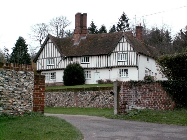
Guild Hall

Heritage Site in Essex Uttlesford

England

Guild Hall

Muddy track near Sandons Farm The soil round here has a very high clay content - it forms puddles easily and sticks to boots most uncomfortably.
Muddy track near Sandons Farm Credit: David Gruar

The requested URL returned error: 429 Too Many Requests

If you have any feedback on the listing, please let us know in the comments section below.
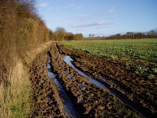
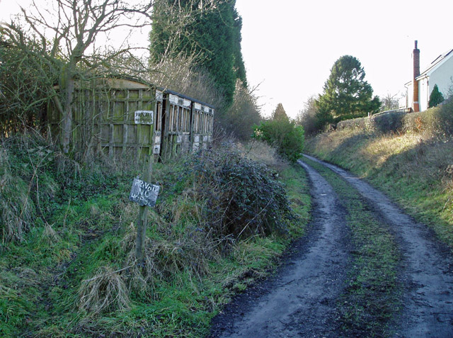
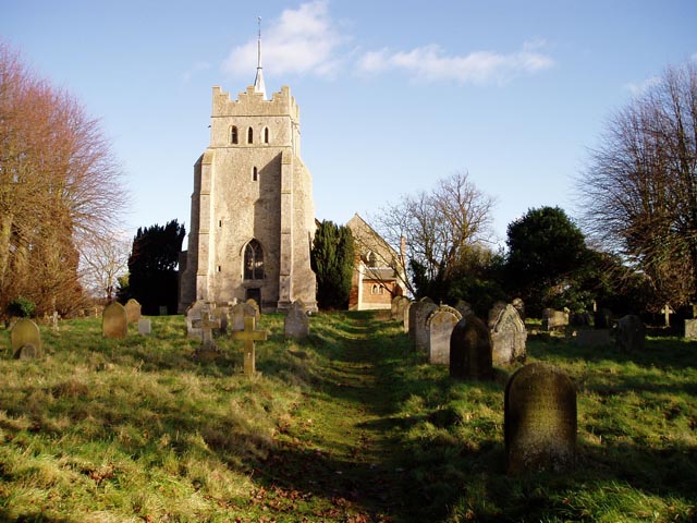
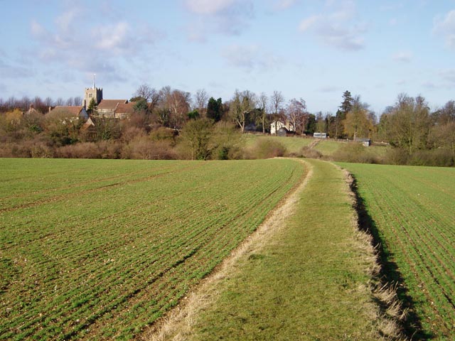
Guild Hall Images

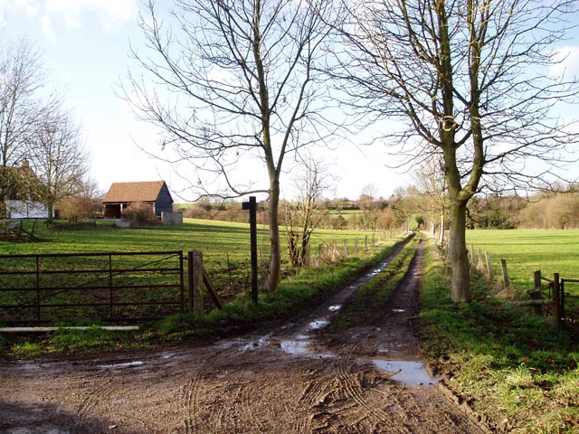
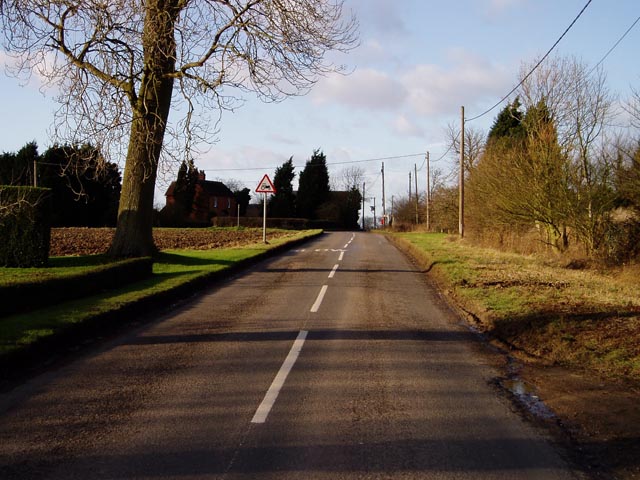
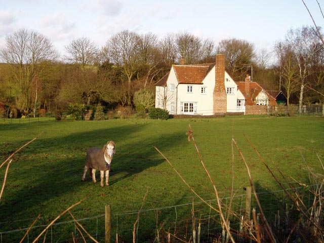
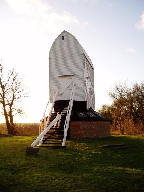
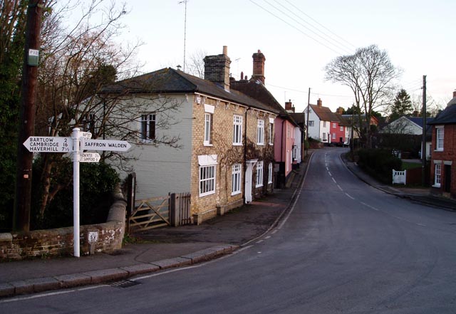
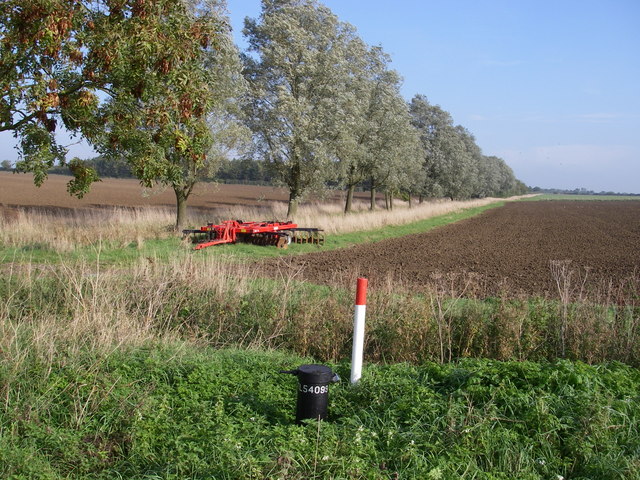
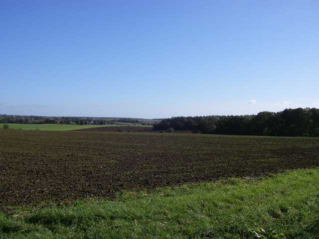
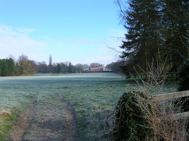
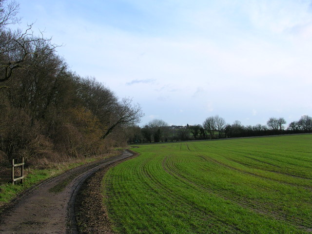
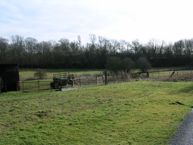
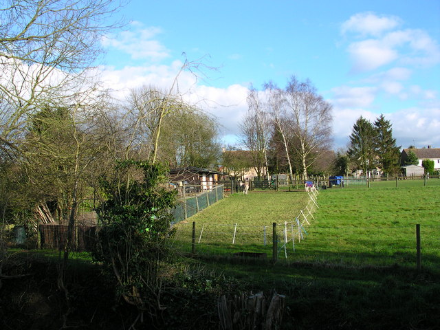
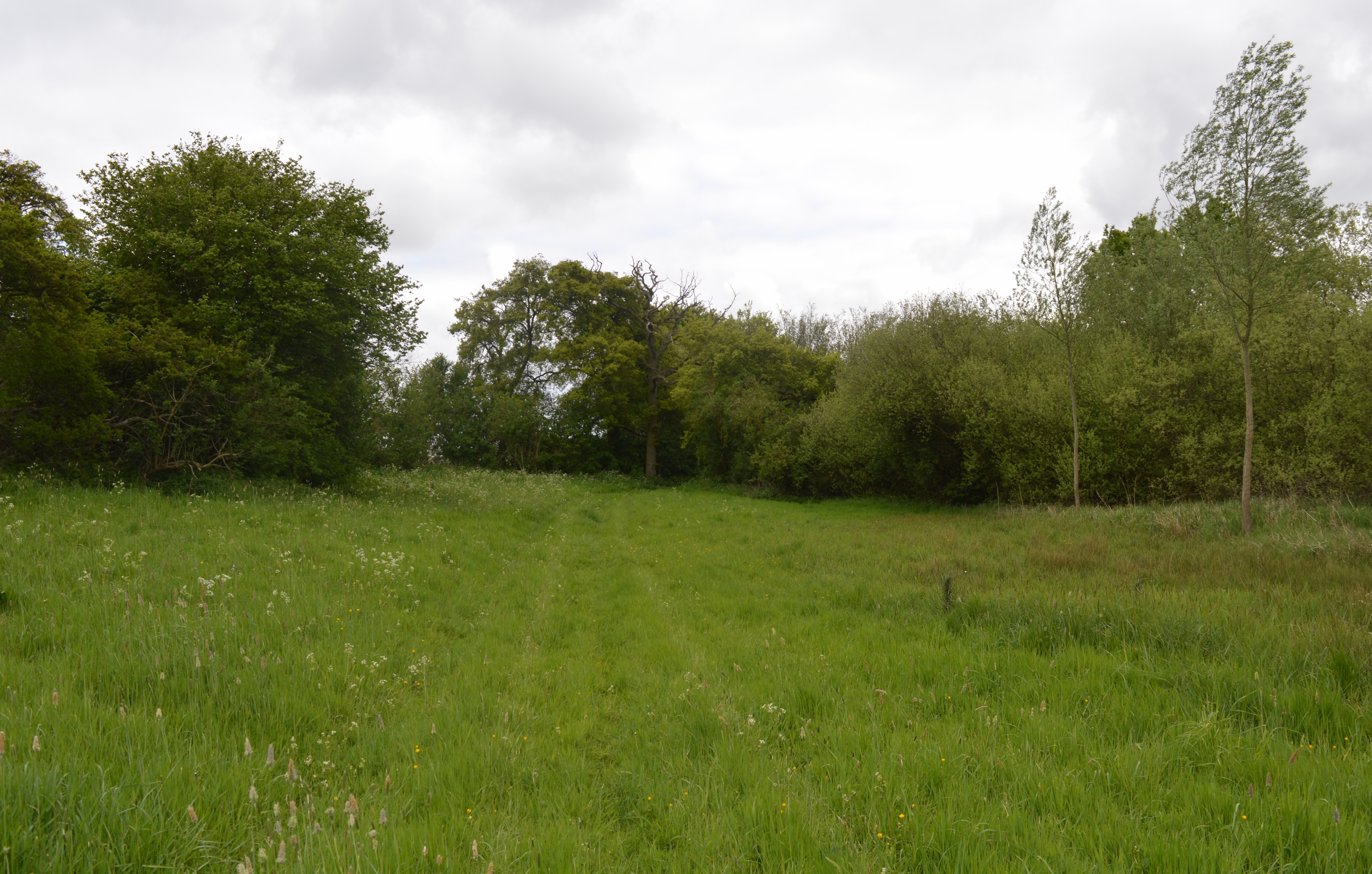
Images are sourced within 2km of 52.048/0.312 or Grid Reference TL5841. Thanks to Geograph Open Source API. All images are credited.

Muddy track near Sandons Farm The soil round here has a very high clay content - it forms puddles easily and sticks to boots most uncomfortably.
Muddy track near Sandons Farm
The soil round here has a very high clay content - it forms puddles easily and sticks to boots most uncomfortably.
Derelict station platform, Ashdon Marked as 'halt' on the 1940s map, this was a platform on the Audley End to Bartlow line. Just here there's no other evidence on the ground that it ever existed.
Derelict station platform, Ashdon
Marked as 'halt' on the 1940s map, this was a platform on the Audley End to Bartlow line. Just here there's no other evidence on the ground that it ever existed.
All Saints' Church, Ashdon Ashdon church is up the hill from the main village, part of the small settlement of Church End.
All Saints' Church, Ashdon
Ashdon church is up the hill from the main village, part of the small settlement of Church End.
Footpath from Church End to Water End, Ashdon A raised strip of land between two fields. Church End is in the background.
Footpath from Church End to Water End, Ashdon
A raised strip of land between two fields. Church End is in the background.
Path junction by Burnt House, Water End, Ashdon Burnt House is a name, not a description! The track straight ahead leads over to Church End (see also <a href="https://www.geograph.org.uk/photo/108668">TL5841 : Footpath from Church End to Water End, Ashdon</a>).
Path junction by Burnt House, Water End, Ashdon
Burnt House is a name, not a description! The track straight ahead leads over to Church End (see also TL5841 : Footpath from Church End to Water End, Ashdon).
Midsummer Hill, Goldstones The sign is right - this is real tractor country. Evidence of their work can be seen on the left.
Midsummer Hill, Goldstones
The sign is right - this is real tractor country. Evidence of their work can be seen on the left.
Horse at Sandons Farm, Ashdon This horse seemed quite used to posing for the camera - it looked at me all the while I was composing the shot, and got back to its grazing as soon as I'd taken it!
Horse at Sandons Farm, Ashdon
This horse seemed quite used to posing for the camera - it looked at me all the while I was composing the shot, and got back to its grazing as soon as I'd taken it!
Ashdon Windmill Built in 1757 and restored in 2001 by the Ashdon Windmill Trust.
Ashdon Windmill
Built in 1757 and restored in 2001 by the Ashdon Windmill Trust.
Ashdon village centre This is the small nuclear village at the centre of Ashdon parish, which contains several other satellite settlements and farms. The Rose and Crown pub is behind the photographer.
Ashdon village centre
This is the small nuclear village at the centre of Ashdon parish, which contains several other satellite settlements and farms. The Rose and Crown pub is behind the photographer.
Arable landscape - Ashdon A typical view of the land use in this Km square, arable with cricket bat willow along the ditch (the grid ref on the dip well in the foreground doesn't seem to tally!).
Arable landscape - Ashdon
A typical view of the land use in this Km square, arable with cricket bat willow along the ditch (the grid ref on the dip well in the foreground doesn't seem to tally!).
Little Hales wood and fields - Ashdon The chalky boulder clay results in this typical mosaic of fields and woods.
Little Hales wood and fields - Ashdon
The chalky boulder clay results in this typical mosaic of fields and woods.
Farmhouse at Ashdon Place This is a fine example of a beautiful timber-framed house that probably dates back to the early 15th century.
Farmhouse at Ashdon Place
This is a fine example of a beautiful timber-framed house that probably dates back to the early 15th century.
Waltons From the Harcamlow Way.
Waltons
From the Harcamlow Way.
Footpath past Ricketts Farm
Puddle Wharf The Harcamlow Way follows the pavement south here.  That tractor has 1 wheel drive with the motor mounted to the right of the front wheel.
Puddle Wharf
The Harcamlow Way follows the pavement south here. That tractor has 1 wheel drive with the motor mounted to the right of the front wheel.
2 cute donkeys Pets who provide fertilizer.
2 cute donkeys
Pets who provide fertilizer.
Houses on the descent into Ashdon A well-earned rest for cyclists like this one who have climbed the hill from Saffron Walden. Haverhill TV mast is visible on the horizon.
Houses on the descent into Ashdon
A well-earned rest for cyclists like this one who have climbed the hill from Saffron Walden. Haverhill TV mast is visible on the horizon.
All Saints Ashdon from the north
Show me another place!

Guild Hall is located at Grid Ref: TL5841 (Lat: 52.048, Lng: 0.312)

Administrative County: Essex

District: Uttlesford

Police Authority: Essex

What 3 Words

///piano.workshops.reserving. Near Saffron Walden, Essex

Related Wikis

Ashdon

Ashdon, is a village and civil parish in Essex, England. It is about 4 miles (6 km) northeast of Saffron Walden and 23 miles (37 km) northwest from the...

Ashdon Halt railway station

Ashdon Halt was a railway station on the Saffron Walden Railway. It opened 14 August 1911 and closed 7 September 1964. The halt was approximately 46 miles...

Ashdon Meadows

Ashdon Meadows is a 1.5-hectare (3.7-acre) biological Site of Special Scientific Interest south of Ashdon in Essex.The site is unimproved grassland which...

Bragg's Mill, Ashdon

Bragg's Mill, William Bragg's Mill, Bartlow Hamlet Mill or Stevington End Mill is a grade II listed post mill at Ashdon, Essex, England which has been...

Nearby Amenities

Located within 500m of 52.048,0.312
Church Hill
Naptan AtcoCode: 150018024008
Naptan Bearing: NE
Naptan BusStopType: CUS
Naptan CommonName: Church Hill
Naptan Crossing: Rectory Lane
Naptan Indicator: N-bound
Naptan Landmark: Church Hill
Naptan NaptanCode: esxdgagw
Naptan Street: Church Hill
Naptan Verified: no
Public Transport: platform
Shelter: no
Source: naptan_import
Lat/Long: 52.0523191/0.3103123
Church Hill
Naptan AtcoCode: 1500180240Y8
Naptan Bearing: SW
Naptan BusStopType: CUS
Naptan CommonName: Church Hill
Naptan Crossing: Rectory Lane
Naptan Indicator: S-bound
Naptan Landmark: Church Hill
Naptan NaptanCode: esxgpagw
Naptan Street: Church Hill
Naptan Verified: no
Public Transport: platform
Shelter: yes
Source: naptan_import
Lat/Long: 52.0522818/0.3103833
The Wilderness
Place: locality
Lat/Long: 52.0442283/0.3115145
Bench
Backrest: yes
Lat/Long: 52.0500287/0.3074694
The data included in this document is from www.openstreetmap.org. The data is made available under ODbL.

Have you been to Guild Hall?

Leave your review of Guild Hall below (or comments, questions and feedback).