Green Dike

Heritage Site in Yorkshire

England

Green Dike

Track to Moorland House Seen here on a dreary Christmas Eve morning, the track leads off Rudda Road across Staintondale Moor.
Track to Moorland House Credit: Stephen McKay

Green Dike, located in Yorkshire, is a renowned heritage site that holds significant historical and cultural value. This ancient monument is an earthen bank, also known as a "dike," which spans approximately 1 kilometer in length. The site is believed to date back to the Bronze Age, making it over 4,000 years old.

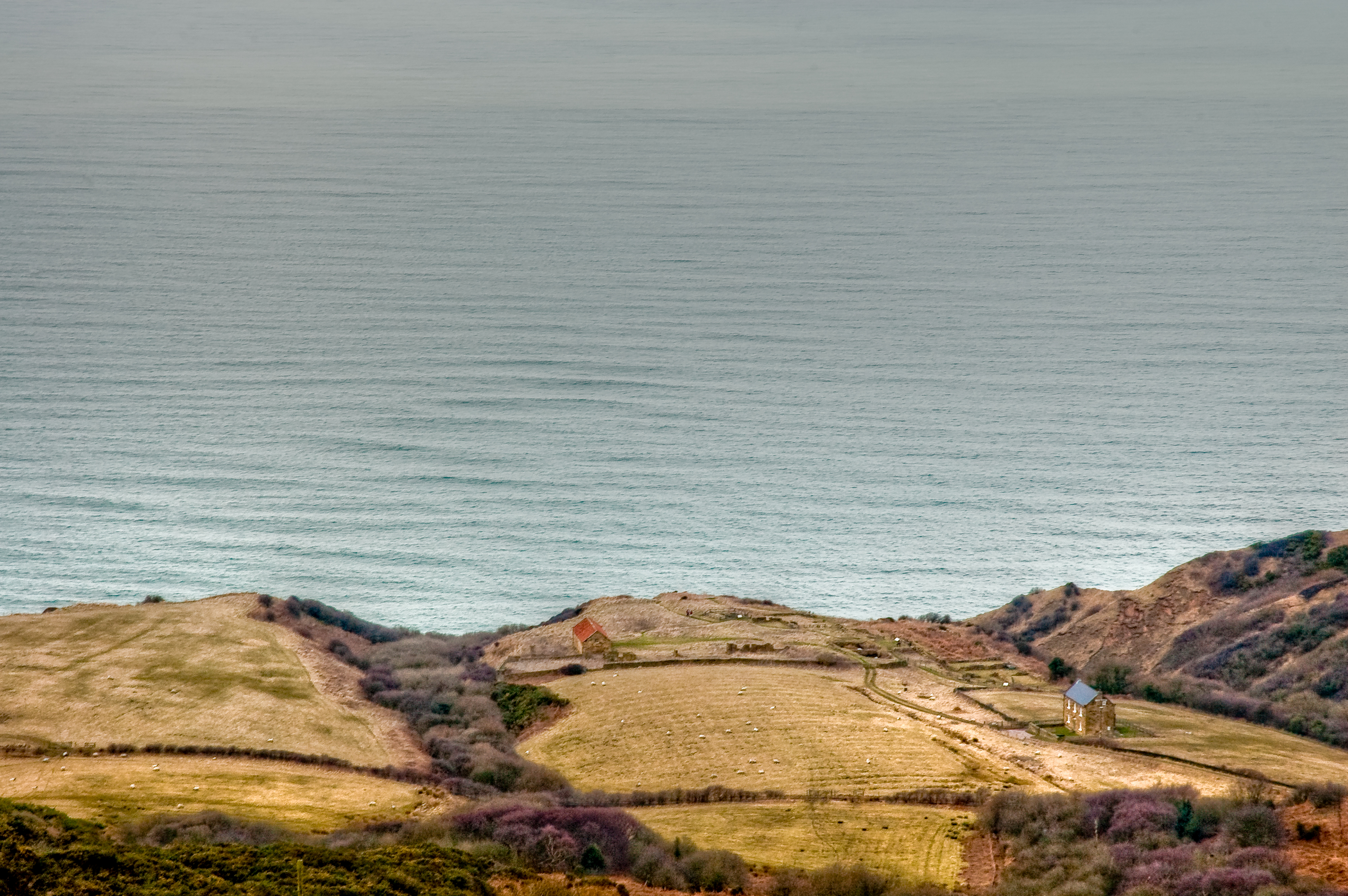
The Green Dike is situated in a picturesque landscape, surrounded by rolling hills and lush greenery. It stands as a testament to the early inhabitants of the region, showcasing their engineering skills and the importance they placed on territorial boundaries. The dike was likely constructed as a means of demarcating and protecting a specific area, potentially serving as a defensive structure.

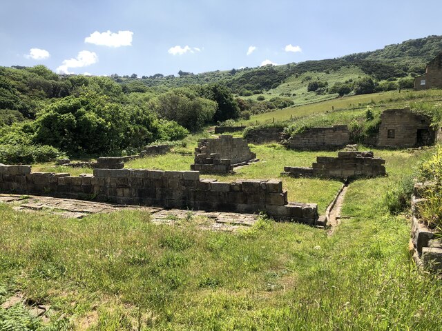
The site has been meticulously preserved, attracting archaeologists and history enthusiasts from around the world. Excavations have revealed a treasure trove of artifacts, including pottery shards, flint tools, and other remnants of ancient life. These findings provide invaluable insights into the daily lives and cultural practices of the people who once called this area home.

Visitors to Green Dike can explore the site and take in its awe-inspiring presence. Interpretive panels and signage provide historical context, enhancing the visitor experience. The surrounding landscape offers stunning views, allowing visitors to fully appreciate the historical significance and natural beauty of the area.

Green Dike is a cherished heritage site that offers a captivating glimpse into Yorkshire's ancient past. Its preservation and accessibility contribute to the understanding and appreciation of the region's rich cultural heritage.

If you have any feedback on the listing, please let us know in the comments section below.
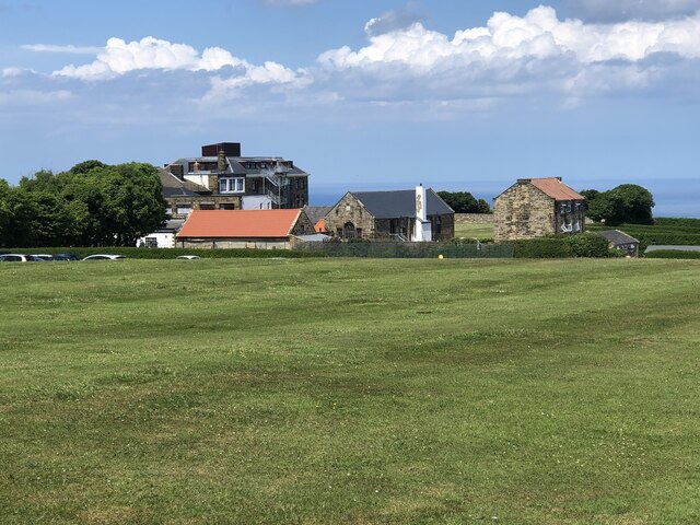
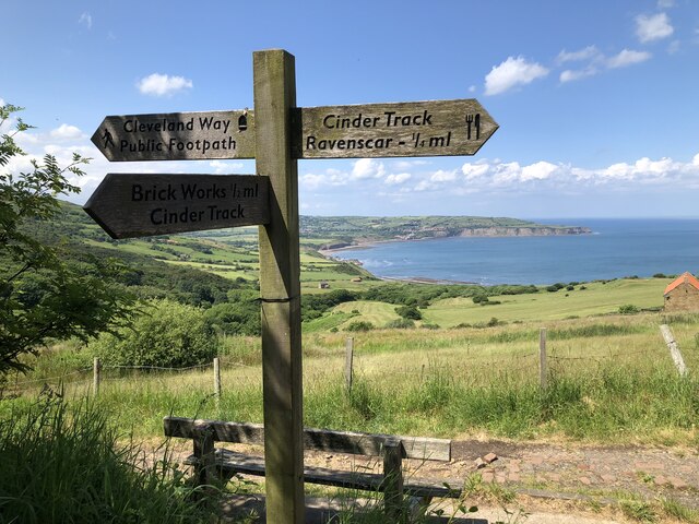
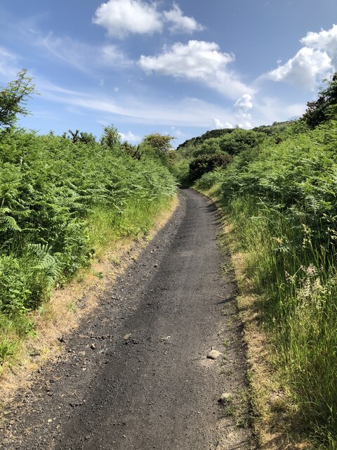
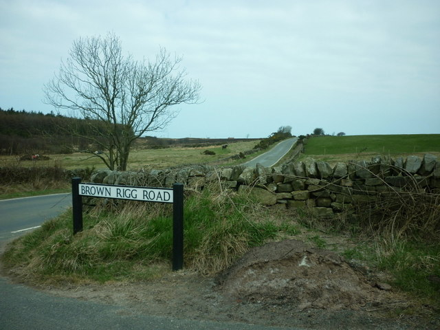
Green Dike Images

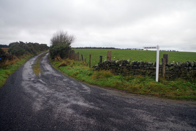
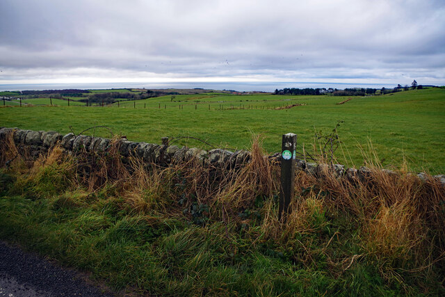
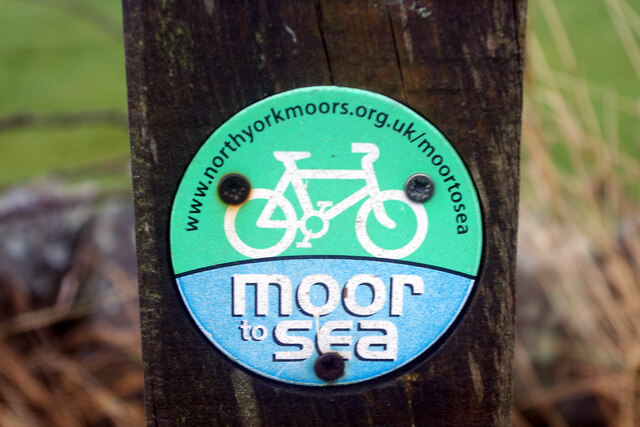
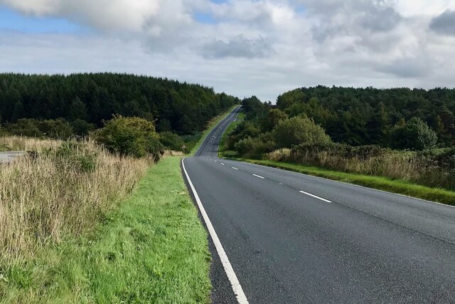
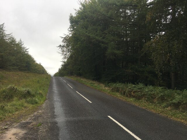
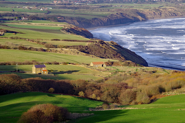
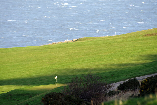
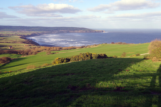
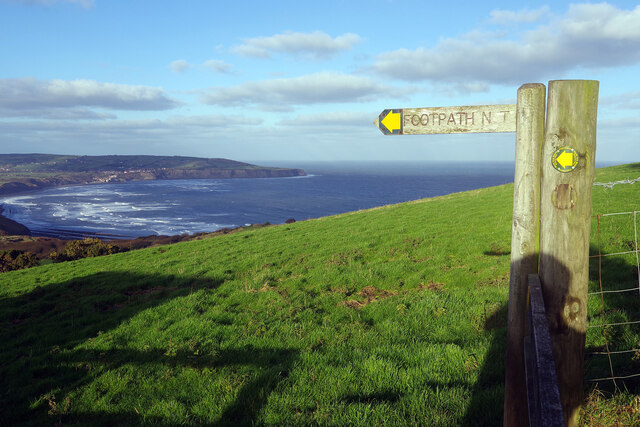
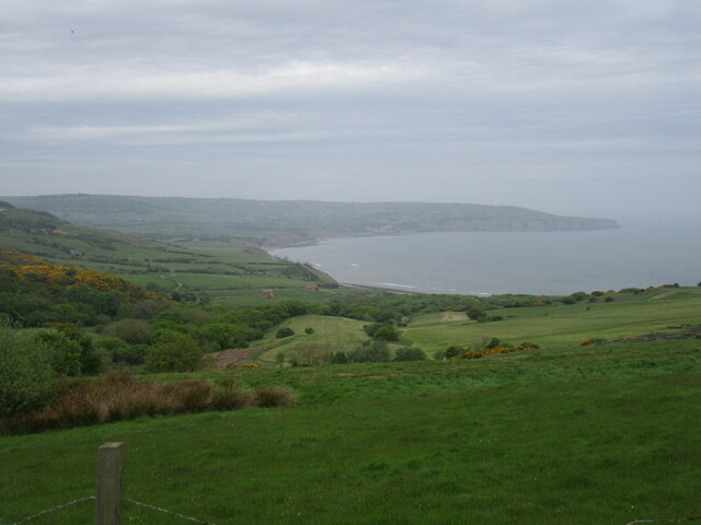
Images are sourced within 2km of 54.39/-0.513 or Grid Reference NZ9600. Thanks to Geograph Open Source API. All images are credited.

Track to Moorland House Seen here on a dreary Christmas Eve morning, the track leads off Rudda Road across Staintondale Moor.
Track to Moorland House
Seen here on a dreary Christmas Eve morning, the track leads off Rudda Road across Staintondale Moor.
Staintondale Moor Grazing land seen from Rudda Road with the sea in the distance.
Staintondale Moor
Grazing land seen from Rudda Road with the sea in the distance.
Moor to Sea The Moor to Sea network is an initiative of the North York Moors National Park providing cycle routes on 'quiet roads, woodland tracks and bridleways'. This sign tells us that Rudda Road is part of the network, in fact near the eastern end of route 4 from Highwood Brow to Ravenscar. 'Moor to Sea' is a neat play on words, sounding the same as 'more to see'.
Moor to Sea
The Moor to Sea network is an initiative of the North York Moors National Park providing cycle routes on 'quiet roads, woodland tracks and bridleways'. This sign tells us that Rudda Road is part of the network, in fact near the eastern end of route 4 from Highwood Brow to Ravenscar. 'Moor to Sea' is a neat play on words, sounding the same as 'more to see'.
The A171
The A171
Helwath Road
Helwath Road
Low Peak Looking down from High Peak. There was once an alum works here; alum was extracted from quarried shales and used for textile dyes. The process was slow and complex and synthetic alum became available in the second half of the 19th century, leading to the end of the industry in this area.
Low Peak
Looking down from High Peak. There was once an alum works here; alum was extracted from quarried shales and used for textile dyes. The process was slow and complex and synthetic alum became available in the second half of the 19th century, leading to the end of the industry in this area.
Fairview House, Ravenscar Looking up from Peakside Farm to Fairview House at the end of Robin Hood's Road; the house is used as holiday accommodation. Behind that is a 45 metre transmitting mast operated by Arqiva.
Fairview House, Ravenscar
Looking up from Peakside Farm to Fairview House at the end of Robin Hood's Road; the house is used as holiday accommodation. Behind that is a 45 metre transmitting mast operated by Arqiva.
Raven Hall Hotel Golf Course Raven Hall Hotel boasts its own 9-hole par 64 golf course. Nobody would claim it is up to championship standards but at least it has a superb sea view. Sea conditions were decidedly choppy in this Christmas Day view.
Raven Hall Hotel Golf Course
Raven Hall Hotel boasts its own 9-hole par 64 golf course. Nobody would claim it is up to championship standards but at least it has a superb sea view. Sea conditions were decidedly choppy in this Christmas Day view.
View from Peakside Farm Looking towards Robin Hood's Bay and Ness Point. This is said to be one of the best views in Yorkshire.
View from Peakside Farm
Looking towards Robin Hood's Bay and Ness Point. This is said to be one of the best views in Yorkshire.
National Trust estate buildings, Peakside Farm In addition to these buildings there is also an office and two holiday cottages here. A National Trust shop is separately located, close to the gate to Raven Hall Hotel.
National Trust estate buildings, Peakside Farm
In addition to these buildings there is also an office and two holiday cottages here. A National Trust shop is separately located, close to the gate to Raven Hall Hotel.
Footpath at Ravenscar The National Trust land at Ravenscar has a network of footpaths and this NT sign points the way along one of them. The smaller marker on the adjacent post is provided by the North York Moors National Park but adds no additional information. In the background is Robin Hood's Bay.
Footpath at Ravenscar
The National Trust land at Ravenscar has a network of footpaths and this NT sign points the way along one of them. The smaller marker on the adjacent post is provided by the North York Moors National Park but adds no additional information. In the background is Robin Hood's Bay.
Ravenscar view Looking towards the alum works.
Ravenscar view
Looking towards the alum works.
Remains of Peak Alum Works Alum, a salt of aluminium, was extracted from shale for use as a fixing agent in the dying industry. Pre-dating the industrialisation associated with the industrial revolution, alum production began in the 17th century and continued until the late 19th century when synthetic fixing agents were produced. The coastal area around Ravenscar was the location of a large quarrying and alum production centre until 1871.
Remains of Peak Alum Works
Alum, a salt of aluminium, was extracted from shale for use as a fixing agent in the dying industry. Pre-dating the industrialisation associated with the industrial revolution, alum production began in the 17th century and continued until the late 19th century when synthetic fixing agents were produced. The coastal area around Ravenscar was the location of a large quarrying and alum production centre until 1871.
Raven Hall Hotel, Ravenscar
Footpath signpost, Ravenscar
The Cinder Track The Cinder Track is a walking / cycling route utilising the trackbed of the former railway that ran between Scarborough and Whitby.
The Cinder Track
The Cinder Track is a walking / cycling route utilising the trackbed of the former railway that ran between Scarborough and Whitby.
The Cinder Track below Stoupe Brow
Gainforth Wath Road at Brown Rigg Road
Show me another place!

Green Dike is located at Grid Ref: NZ9600 (Lat: 54.39, Lng: -0.513)

Division: North Riding

What 3 Words

///remember.attic.staining. Near Burniston, North Yorkshire

Related Wikis

Ravenscar, North Yorkshire

Ravenscar is a coastal village in the Scarborough district of North Yorkshire, England. It is within the civil parish of Staintondale and the North York...

Ravenscar railway station

Ravenscar was a railway station on the Scarborough & Whitby Railway and served the village of Ravenscar, North Yorkshire, England. == History == The station...

Bent Rigg radar station

Bent Rigg Radar Station, (also known as Royal Air Force Ravenscar, and Ravenscar tracking station), was a radar site located at Bent Rigg, 0.6 miles (1...

Staintondale

Staintondale (or Stainton Dale) is a small village and civil parish in the Scarborough district of North Yorkshire, England. The village is situated 7...

Nearby Amenities

Located within 500m of 54.39,-0.513
Historic: archaeological_site
Source: OS 1:25k
Lat/Long: 54.3882148/-0.5088656
Historic: archaeological_site
Source: OS 1:25k
Lat/Long: 54.3880399/-0.5089944
Archaeological Site: tumulus
Historic: archaeological_site
Source: OS 1:25k
Lat/Long: 54.3931561/-0.5154424
The data included in this document is from www.openstreetmap.org. The data is made available under ODbL.

Have you been to Green Dike?

Leave your review of Green Dike below (or comments, questions and feedback).