Grange

Heritage Site in Midlothian

Scotland

Grange

Minor road to Mauldslie A public road that ends at Mauldslie farm.
Minor road to Mauldslie Credit: Jim Barton

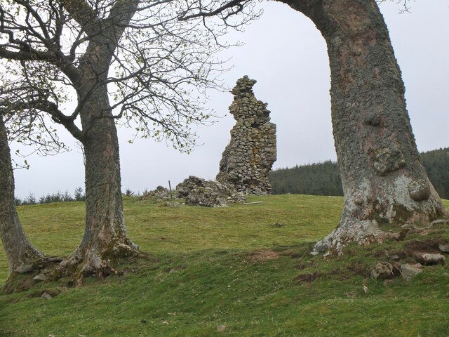
Grange, located in Midlothian, Scotland, is a notable heritage site that holds immense historical and cultural significance. The site is home to the impressive Grange House, a 17th-century mansion, and its surrounding estate.

Grange House, built in the late 1600s, is a fine example of Scottish architecture from that era. The house features a symmetrical design with distinctive crow-stepped gables, ornate chimneys, and intricate stone carvings. Its grandeur and architectural details make it a popular attraction for architecture enthusiasts and history buffs alike.

The estate surrounding Grange House covers a vast area, offering visitors a glimpse into the area's rich history and natural beauty. The grounds are meticulously maintained and feature well-manicured gardens, picturesque pathways, and ancient trees that provide a tranquil and serene atmosphere. Additionally, the estate offers breathtaking views of the surrounding Midlothian countryside, further enhancing the visitor experience.

Grange has witnessed various historical events throughout its existence. It has been home to notable figures, including the influential Broun family, who played a significant role in Scottish politics and society. Over the years, Grange House has been carefully preserved, with occasional renovations to maintain its original charm and integrity.

Today, Grange is open to the public, welcoming visitors who wish to explore its architectural wonders, learn about its history, or simply enjoy the peaceful surroundings. Guided tours are available, providing visitors with a deeper understanding of the site's historical and cultural importance.

In conclusion, Grange in Midlothian is an exceptional heritage site that showcases the grandeur of Scottish architecture and offers a glimpse into the region's rich history. Its well-preserved mansion, stunning grounds, and captivating views make it a must-visit destination for both locals and tourists alike.

If you have any feedback on the listing, please let us know in the comments section below.
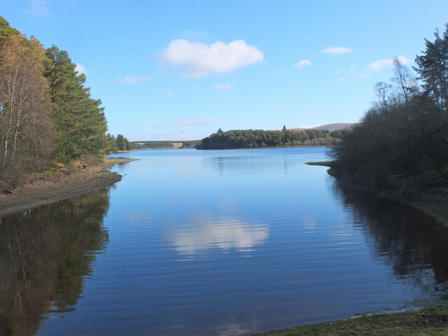
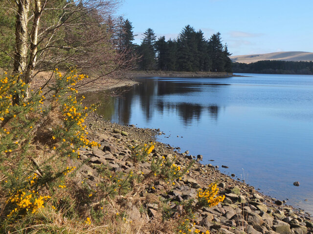
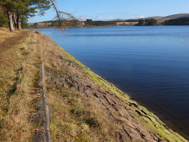
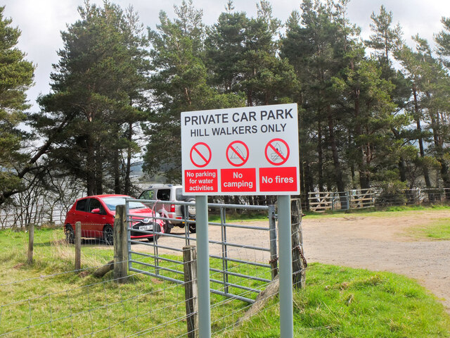
Grange Images

Images are sourced within 2km of 55.76/-3.123 or Grid Reference NT2952. Thanks to Geograph Open Source API. All images are credited.

Minor road to Mauldslie A public road that ends at Mauldslie farm.
Minor road to Mauldslie
A public road that ends at Mauldslie farm.
Path past Mauldslie This short stretch of path has been signposted alongside the access track to the farmhouse. The circular walk around Gladhouse Reservoir continues SSW on a signposted field track to Huntly Cot.
Path past Mauldslie
This short stretch of path has been signposted alongside the access track to the farmhouse. The circular walk around Gladhouse Reservoir continues SSW on a signposted field track to Huntly Cot.
Field path between fences The left-hand fence encloses part of a deer farm.
Field path between fences
The left-hand fence encloses part of a deer farm.
Mauldslie, near Gladhouse Reservoir
Parking area, Gladhouse Reservoir A rather muddy lay-by near Gladhouse Reservoir on the access road to Moorfoot farm, with the escarpment of the Moorfoot Hills beyond.
Parking area, Gladhouse Reservoir
A rather muddy lay-by near Gladhouse Reservoir on the access road to Moorfoot farm, with the escarpment of the Moorfoot Hills beyond.
Aqueduct for Gladhouse Reservoir A straight concrete-lined channel taking water to the west end of the reservoir.
Aqueduct for Gladhouse Reservoir
A straight concrete-lined channel taking water to the west end of the reservoir.
Aqueduct for Gladhouse Reservoir (2) Further downstream along the channel shown in <a href="https://www.geograph.org.uk/photo/7112091">NT2853 : Aqueduct for Gladhouse Reservoir</a>.
Aqueduct for Gladhouse Reservoir (2)
Further downstream along the channel shown in NT2853 : Aqueduct for Gladhouse Reservoir.
Bay at the west end of Gladhouse Reservoir A tranquil bay surrounded by woodland.
Bay at the west end of Gladhouse Reservoir
A tranquil bay surrounded by woodland.
Shoreline at Gladhouse Reservoir The NW shoreline of this reservoir, completed in 1879 as a water supply for Edinburgh - see <span class="nowrap"><a title="https://en.wikipedia.org/wiki/Gladhouse_Reservoir" rel="nofollow ugc noopener" href="https://en.wikipedia.org/wiki/Gladhouse_Reservoir">Link</a><img style="margin-left:2px;" alt="External link" title="External link - shift click to open in new window" src="https://s1.geograph.org.uk/img/external.png" width="10" height="10"/></span> for more details.
Shoreline at Gladhouse Reservoir
The NW shoreline of this reservoir, completed in 1879 as a water supply for Edinburgh - see LinkExternal link for more details.
Bank of Gladhouse Reservoir Stone facing on the bank of this reservoir, completed in 1879 by engineer James Leslie - see <span class="nowrap"><a title="https://en.wikipedia.org/wiki/Gladhouse_Reservoir" rel="nofollow ugc noopener" href="https://en.wikipedia.org/wiki/Gladhouse_Reservoir">Link</a><img style="margin-left:2px;" alt="External link" title="External link - shift click to open in new window" src="https://s1.geograph.org.uk/img/external.png" width="10" height="10"/></span> for more details.
Bank of Gladhouse Reservoir
Stone facing on the bank of this reservoir, completed in 1879 by engineer James Leslie - see LinkExternal link for more details.
Stubble field near Gladhouse Reservoir A field near Moorfoot farm.
Stubble field near Gladhouse Reservoir
A field near Moorfoot farm.
Car park sign, Gladhouse Reservoir The only car park on the access road to Moorfoot farm. Over the years, car parking provision around the reservoir has decreased - see <a href="https://www.geograph.org.uk/photo/1713001">NT3054 : Gladhouse Reservoir from closed car park</a> and <a href="https://www.geograph.org.uk/photo/7113022">NT3054 : Blocked lay-by, Gladhouse Reservoir</a>. At least walkers are allowed here! The sign is fairly recent.
Car park sign, Gladhouse Reservoir
The only car park on the access road to Moorfoot farm. Over the years, car parking provision around the reservoir has decreased - see NT3054 : Gladhouse Reservoir from closed car park and NT3054 : Blocked lay-by, Gladhouse Reservoir. At least walkers are allowed here! The sign is fairly recent.
Track from Moorfoot farm Plenty of sheep and lambs around this farm by Gladhouse Reservoir. The track heads south to the valley of the River South Esk. Compare with <a href="https://www.geograph.org.uk/photo/5263921">NT2952 : Track to the South Esk</a> taken in 2017.
Track from Moorfoot farm
Plenty of sheep and lambs around this farm by Gladhouse Reservoir. The track heads south to the valley of the River South Esk. Compare with NT2952 : Track to the South Esk taken in 2017.
Woolly fence, Moorfoot farm Sheep's wool built up on the fence by the track to the South Esk.
Woolly fence, Moorfoot farm
Sheep's wool built up on the fence by the track to the South Esk.
Gladhouse Cottage A polite request to fork left onto the track through to the South Esk.
Gladhouse Cottage
A polite request to fork left onto the track through to the South Esk.
Brick sheepfold, Hirenden Burn An unusual brick sheepfold just below the ruins of Hirendean Castle. Perhaps the sheepfold was built as part of the works by the water company when Gladhouse Reservoir was under construction in the late 1870s. There are other similar brick sheds in the South Esk valley nearby. 

The wall is starting to crumble - compare with <a href="https://www.geograph.org.uk/photo/5264453">NT2951 : Brick sheepfold, Hirendean Burn</a> taken in 2017.
Brick sheepfold, Hirenden Burn
An unusual brick sheepfold just below the ruins of Hirendean Castle. Perhaps the sheepfold was built as part of the works by the water company when Gladhouse Reservoir was under construction in the late 1870s. There are other similar brick sheds in the South Esk valley nearby. The wall is starting to crumble - compare with NT2951 : Brick sheepfold, Hirendean Burn taken in 2017.
Hirendean Castle In view is the highest part of the remaining ruin at the SW corner.

The ruins are thought to date back to the 16th century when the castle was built for Mark Kerr, Abbott of Newbattle. It is possible that it replaced an earlier structure on the site. See <span class="nowrap"><a title="http://www.stravaiging.com/history/castle/hirendean-castle/" rel="nofollow ugc noopener" href="http://www.stravaiging.com/history/castle/hirendean-castle/">Link</a><img style="margin-left:2px;" alt="External link" title="External link - shift click to open in new window" src="https://s1.geograph.org.uk/img/external.png" width="10" height="10"/></span> for more background.
Hirendean Castle
In view is the highest part of the remaining ruin at the SW corner. The ruins are thought to date back to the 16th century when the castle was built for Mark Kerr, Abbott of Newbattle. It is possible that it replaced an earlier structure on the site. See LinkExternal link for more background.
South Wall, Hirendean Castle The wall comprises most of the remaining ruin and has a window opening.

More on the history of the castle can be found at <span class="nowrap"><a title="http://www.stravaiging.com/history/castle/hirendean-castle/" rel="nofollow ugc noopener" href="http://www.stravaiging.com/history/castle/hirendean-castle/">Link</a><img style="margin-left:2px;" alt="External link" title="External link - shift click to open in new window" src="https://s1.geograph.org.uk/img/external.png" width="10" height="10"/></span>.
South Wall, Hirendean Castle
The wall comprises most of the remaining ruin and has a window opening. More on the history of the castle can be found at LinkExternal link.
Show me another place!

Grange is located at Grid Ref: NT2952 (Lat: 55.76, Lng: -3.123)

What 3 Words

///fillings.dustbin.ashes. Near Rosewell, Midlothian

Nearby Locations

Grange

Related Wikis

Gladhouse Reservoir

Gladhouse Reservoir, formerly known as Moorfoot Loch, is a reservoir in Midlothian, Scotland, five miles (8 km) south of Penicuik. It is the most southerly...

Moorfoot Hills

The Moorfoot Hills are a range of hills south of Edinburgh in east central Scotland, one of the ranges which collectively form the Southern Uplands....

Blackhope Scar

Blackhope Scar is a hill in the Moorfoot Hills range, part of the Southern Uplands of Scotland. It lies to the northeast of the town of Peebles and is...

Northshield Rings

Northshield Rings is a prehistoric site, a hillfort near the village of Eddleston and about 6 miles (10 km) north of Peebles, in the Scottish Borders,...

Bowbeat Hill

Bowbeat Hill is a hill in the Moorfoot Hills range, part of the Southern Uplands of Scotland. It lends its name to Bowbeat Onshore Wind Farm built on the...

Earlyvale Gate railway station

Earlyvale Gate railway station served the Dundas family residence in Earlyvale, Scottish Borders, Scotland for 8 months (June 1856 - February 1857) on...

Edgelaw Reservoir

Edgelaw Reservoir is an artificial reservoir in Midlothian, Scotland, UK, four miles west of Temple. It was created in 1880 by James Leslie and his son...

Garvald, Scottish Borders

Garvald (Scots: Garvit) is a hamlet on the B7007, near Dewar, by the Dewar Burn, in the Moorfoot Hills, in the Scottish Borders area of Scotland, in the...

Nearby Amenities

Located within 500m of 55.76,-3.123
Barrier: cattle_grid
Bicycle: yes
Foot: yes
Motorcar: yes
Lat/Long: 55.7611867/-3.1210726
Barrier: cattle_grid
Bicycle: yes
Foot: yes
Motorcar: yes
Lat/Long: 55.7624054/-3.1181691
Moorfoot
Place: locality
Lat/Long: 55.759221/-3.1205993
Power: pole
Lat/Long: 55.7622933/-3.1294203
Power: pole
Lat/Long: 55.7617259/-3.1283701
Power: pole
Lat/Long: 55.7612558/-3.127497
Power: pole
Lat/Long: 55.7607622/-3.1265614
Power: pole
Lat/Long: 55.7602663/-3.1256342
Power: pole
Lat/Long: 55.7597586/-3.1246986
Power: pole
Lat/Long: 55.7592815/-3.1237943
Power: pole
Lat/Long: 55.7588219/-3.122965
Power: pole
Lat/Long: 55.7584889/-3.1223399
Power: pole
Lat/Long: 55.7588817/-3.1210293
Power: pole
Lat/Long: 55.759122/-3.1202562
Power: pole
Lat/Long: 55.7595077/-3.1193853
Power: pole
Lat/Long: 55.7598665/-3.1185393
Power: pole
Lat/Long: 55.7602358/-3.1177037
Power: pole
Lat/Long: 55.7607493/-3.1166244
Power: pole
Lat/Long: 55.7612687/-3.1155409
Power: pole
Lat/Long: 55.7582661/-3.1234693
Power: pole
Lat/Long: 55.7575638/-3.1241006
Power: pole
Lat/Long: 55.7568439/-3.1247674
Power: pole
Lat/Long: 55.7562072/-3.124459
Power: pole
Lat/Long: 55.755587/-3.1241673
The data included in this document is from www.openstreetmap.org. The data is made available under ODbL.

Have you been to Grange ?

Leave your review of Grange below (or comments, questions and feedback).