Giant's Hill

Heritage Site in Cambridgeshire South Cambridgeshire

England

Giant's Hill

Field by Iram Drove
Field by Iram Drove Credit: Hugh Venables

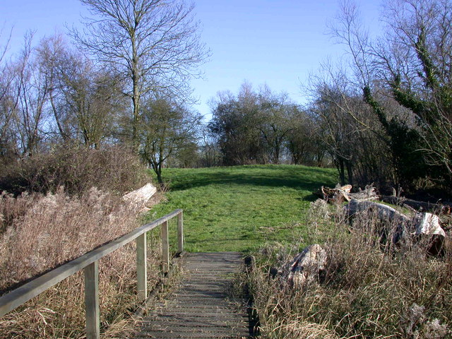
Giant's Hill is a renowned heritage site located in Cambridgeshire, England. Situated in the village of Bluntisham, this historical landmark holds significant importance in the region. The site is an ancient man-made earthwork, classified as a scheduled monument by Historic England.

Dating back to the Iron Age, Giant's Hill is believed to have been constructed between 400 BC and 100 AD. It consists of a large circular mound with a diameter of approximately 50 meters and a height of 5 meters. The hill is surrounded by a ditch that is approximately 2 meters deep and 10 meters wide. The mound was created by piling up soil and clay from the surrounding area, while the ditch may have served as a defensive feature.

The purpose of Giant's Hill remains a subject of debate among archaeologists and historians. Some suggest it served as a burial mound, while others propose it may have had religious or ceremonial significance. Excavations in the 19th century discovered human remains and pottery fragments, further adding to the mystery surrounding the site's purpose.

Today, Giant's Hill is a popular destination for visitors and history enthusiasts. The site offers a unique opportunity to explore the ancient past and marvel at the engineering skills of the Iron Age people. Managed by the local authorities, it provides information boards and signposts for visitors to learn about the historical context and significance of the site. Giant's Hill stands as a testament to the rich cultural heritage of Cambridgeshire, attracting visitors from near and far.

If you have any feedback on the listing, please let us know in the comments section below.
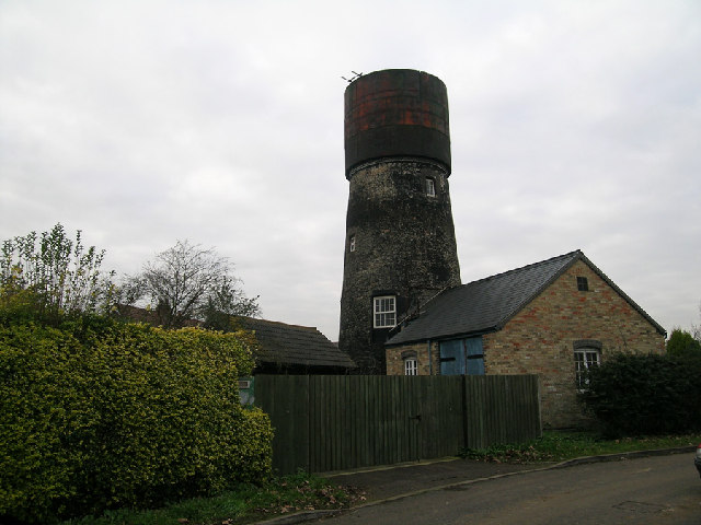
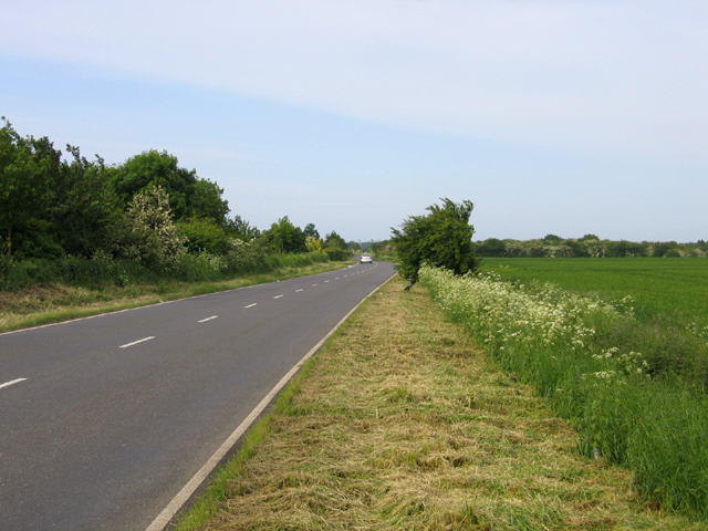
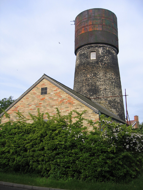
Giant's Hill Images

Images are sourced within 2km of 52.295/0.105 or Grid Reference TL4368. Thanks to Geograph Open Source API. All images are credited.

Field by Iram Drove
Field by Iram Drove
Iram Drove
Iram Drove
Cow Lane Track across Mow Fen to nowhere.
Cow Lane
Track across Mow Fen to nowhere.
Gate on Cow Lane Marked as 'Other route with public access' and a council right of way notice was nearby (pertaining to grazing horses) but there was also a locked gate well before the mapped end of access (it is a dead end)
Gate on Cow Lane
Marked as 'Other route with public access' and a council right of way notice was nearby (pertaining to grazing horses) but there was also a locked gate well before the mapped end of access (it is a dead end)
Cottenham, the High St looking NNE
Rampton, All Saints <span class="nowrap"><a title="http://www.druidic.org/camchurch/churches/rampton.htm" rel="nofollow ugc noopener" href="http://www.druidic.org/camchurch/churches/rampton.htm">Link</a><img style="margin-left:2px;" alt="External link" title="External link - shift click to open in new window" src="https://s1.geograph.org.uk/img/external.png" width="10" height="10"/></span>
Rampton, All Saints
Converted water tower in Cottenham, Cambridgeshire Brick tower mill converted to water tower with riveted steel tank. Apparently (3/05) undergoing second conversion. Mill was used for the processing of cereals from 1843 until 1898. The cap of the mill was then removed and from 1904 the building had been used as a water tower. 1903 photo is in the NMR.
Converted water tower in Cottenham, Cambridgeshire
Brick tower mill converted to water tower with riveted steel tank. Apparently (3/05) undergoing second conversion. Mill was used for the processing of cereals from 1843 until 1898. The cap of the mill was then removed and from 1904 the building had been used as a water tower. 1903 photo is in the NMR.
The Black Horse, Rampton CB4 Dating from 1851, or earlier.
The Black Horse, Rampton CB4
Dating from 1851, or earlier.
Little North Fen, Cottenham CB4 Little North fen, west of Cottenham village, was recorded as early as 1330.
Little North Fen, Cottenham CB4
Little North fen, west of Cottenham village, was recorded as early as 1330.
Oakington Road, Cottenham, Cambs – view towards Westwick as the road crosses Further or Farm Field.
Oakington Road, Cottenham, Cambs
– view towards Westwick as the road crosses Further or Farm Field.
Windmill turned water tower, Cottenham, Cambs – view from Manse Drive.
Windmill turned water tower, Cottenham, Cambs
– view from Manse Drive.
Rampton Bridge, Cambs spanning the Westwick Brook, taken from the footpath forming the parish boundary between Rampton and Cottenham.
Rampton Bridge, Cambs
spanning the Westwick Brook, taken from the footpath forming the parish boundary between Rampton and Cottenham.
New Cut drain, Cottenham, Cambs at the bend where it heads across the North Fen.
New Cut drain, Cottenham, Cambs
at the bend where it heads across the North Fen.
Cottages by The Green, Rampton, Cambs
Corrugated metal roof, Rampton, Cambs on the south side of King Street.
Corrugated metal roof, Rampton, Cambs
on the south side of King Street.
Cottages by The Green, Rampton, Cambs No. 19 and 20, built in 1902.
Cottages by The Green, Rampton, Cambs
No. 19 and 20, built in 1902.
Free Church Mission Hall, Rampton, Cambs erected 1902 on the corner of High Street and Cow Lane.
Free Church Mission Hall, Rampton, Cambs
erected 1902 on the corner of High Street and Cow Lane.
Parish pump, Rampton, Cambs located on The Green.
Parish pump, Rampton, Cambs
located on The Green.
Show me another place!

Giant's Hill is located at Grid Ref: TL4368 (Lat: 52.295, Lng: 0.105)

Administrative County: Cambridgeshire

District: South Cambridgeshire

Police Authority: Cambridgeshire

What 3 Words

///glows.activism.visits. Near Cottenham, Cambridgeshire

Nearby Locations

Giant's Hill Big Spinney

Related Wikis

Rampton Castle

Rampton Castle, known locally as Giant's Hill, is the earthwork remains of a motte and bailey castle in Rampton, Cambridgeshire. It is believed that the...

Rampton, Cambridgeshire

Rampton is a village in Cambridgeshire, England, situated on the edge of The Fens six miles to the north of Cambridge. == History == The edge of the Fens...

Cottenham

Cottenham is a village in Cambridgeshire, England. Cottenham is one of the larger villages surrounding the city of Cambridge, located around five miles...

Cottenham Village College

Cottenham Village College is an academy school located in Cottenham, Cambridgeshire, England. The school offers secondary education to pupils from the...

Belsar's Hill

Belsar's Hill is a hillfort near Willingham, Cambridgeshire, England. == Description == Belsar's Hill is an oval-shaped area, 265–220 metres (869–722 ft...

Northstowe Secondary College

Northstowe Secondary College is a co-educational secondary school and sixth form located in Northstowe in the English county of Cambridgeshire.The school...

Fen Edge

Fen Edge is an area and collection of villages in the South Cambridgeshire district of Cambridgeshire, England. The five villages in Fen Edge are Cottenham...

Northstowe

Northstowe is a new town that will eventually have up to 10,000 homes, with an anticipated population of 24,400 in Cambridgeshire, England, UK. On 1 April...

Nearby Amenities

Located within 500m of 52.295,0.105
Ele: 0.847
Lat/Long: 52.2928114/0.1005893
Little North Fen
Created By: Potlatch 0.10b
Place: locality
Source: npe
Lat/Long: 52.2911565/0.106441
Design: h-frame
Material: wood
Power: tower
Source: survey
Source Position: bing
Lat/Long: 52.2910739/0.1047697
Design: h-frame
Line Attachment: anchor
Material: wood
Power: tower
Source: survey
Source Position: bing
Lat/Long: 52.2944361/0.1092517
Design: h-frame
Material: wood
Power: tower
Source: survey
Source Position: bing
Lat/Long: 52.2967773/0.1111232
Design: h-frame
Material: wood
Power: tower
Source: survey
Source Position: bing
Lat/Long: 52.2933033/0.1078085
Design: h-frame
Material: wood
Power: tower
Source: survey
Source Position: bing
Lat/Long: 52.2954687/0.110142
Design: h-frame
Material: wood
Power: tower
Source: survey
Source Position: bing
Lat/Long: 52.2921747/0.1063011
Barrier: stile
Source: survey
Lat/Long: 52.2953523/0.1002385
Information: board
Tourism: information
Lat/Long: 52.2948394/0.100123
The data included in this document is from www.openstreetmap.org. The data is made available under ODbL.

Have you been to Giant's Hill?

Leave your review of Giant's Hill below (or comments, questions and feedback).