Gerbestone Manor
Heritage Site in Somerset Somerset West and Taunton
England
Gerbestone Manor
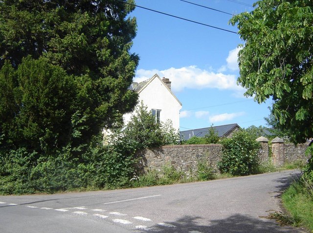
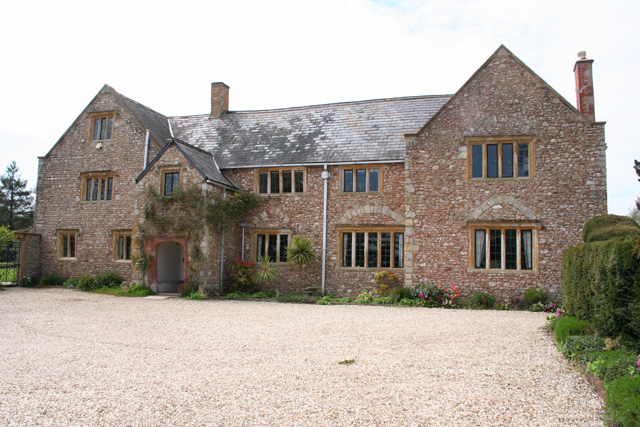
Gerbestone Manor, located in Somerset, England, is a captivating heritage site that has stood for centuries. This magnificent manor house is surrounded by lush greenery, offering visitors a glimpse into the grandeur and opulence of a bygone era.
Built in the 16th century, Gerbestone Manor is a prime example of Tudor architecture. The manor's exterior is characterized by its timber-framed structure, steeply pitched roofs, and intricate decorative details. The interior boasts a wealth of original features, including oak paneling, stone fireplaces, and intricately carved ceilings. Visitors can explore the various rooms, each adorned with period furnishings, paintings, and tapestries, providing a vivid picture of life in Tudor England.
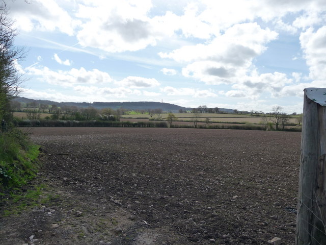
The manor is set within extensive grounds, encompassing beautifully manicured gardens and a picturesque lake. The gardens feature manicured lawns, vibrant flowerbeds, and carefully sculpted topiaries, creating a serene and peaceful atmosphere. The lake, home to a variety of wildlife, adds to the tranquility of the surroundings.
Gerbestone Manor also holds historical significance, having been the residence of notable figures throughout the years. It has been meticulously preserved and is now open to the public, offering guided tours and educational programs. Visitors can immerse themselves in the history and charm of the manor, learning about its architectural features, its inhabitants, and the cultural heritage it represents.
Gerbestone Manor stands as a testament to the rich history and architectural legacy of Somerset. Its breathtaking beauty, combined with its historical importance, makes it a must-visit destination for history enthusiasts and admirers of English heritage.
If you have any feedback on the listing, please let us know in the comments section below.
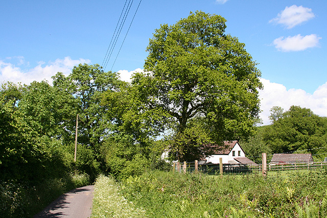
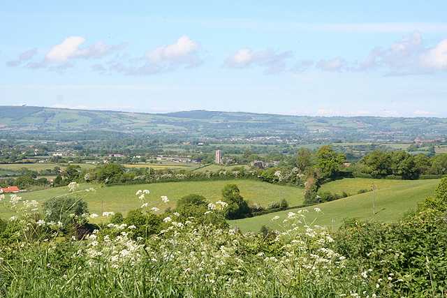
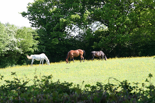
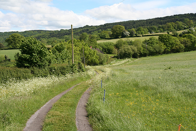
Gerbestone Manor Images
Images are sourced within 2km of 50.968/-3.19 or Grid Reference ST1619. Thanks to Geograph Open Source API. All images are credited.


Gerbestone Manor is located at Grid Ref: ST1619 (Lat: 50.968, Lng: -3.19)
Administrative County: Somerset
District: Somerset West and Taunton
Police Authority: Avon and Somerset
What 3 Words
///molars.zaps.entry. Near Hemyock, Devon
Nearby Locations
Related Wikis
Gerbestone Manor
Gerbestone Manor in West Buckland, Somerset, England was largely rebuilt in the late 16th century, although some fabric from the 13th century house remains...
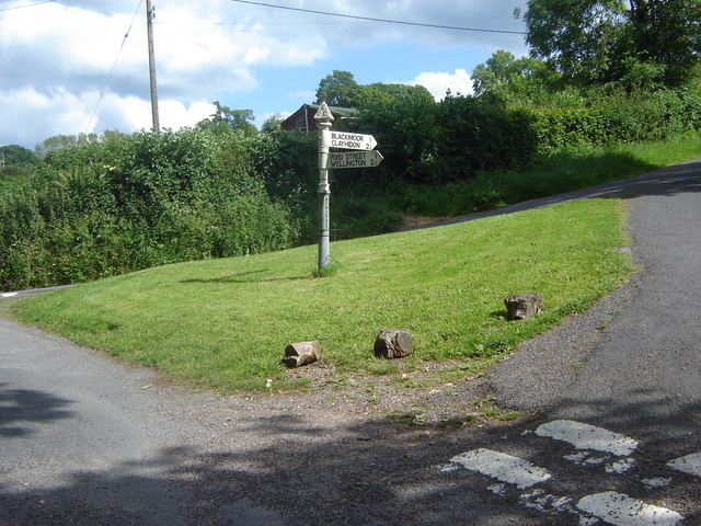
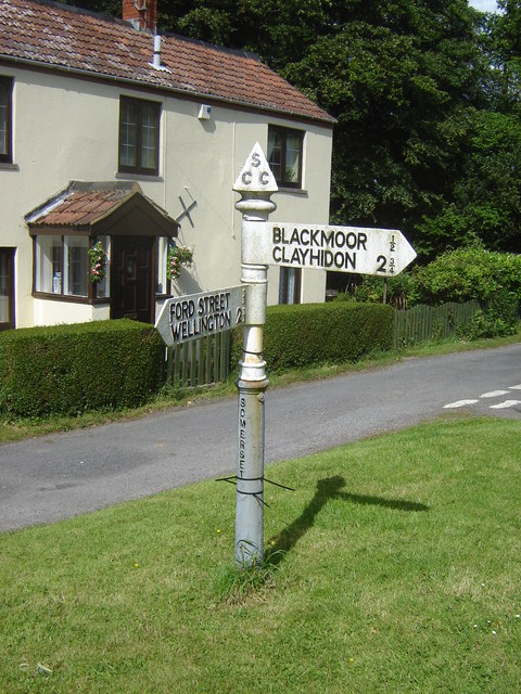
West Buckland
West Buckland is a village and civil parish in Somerset, England, situated 5 miles (8.0 km) south west of Taunton. The parish has a population of 1,189...

South West England
South West England, or the South West of England, is one of the nine official regions of England in the United Kingdom. It consists of the counties of...

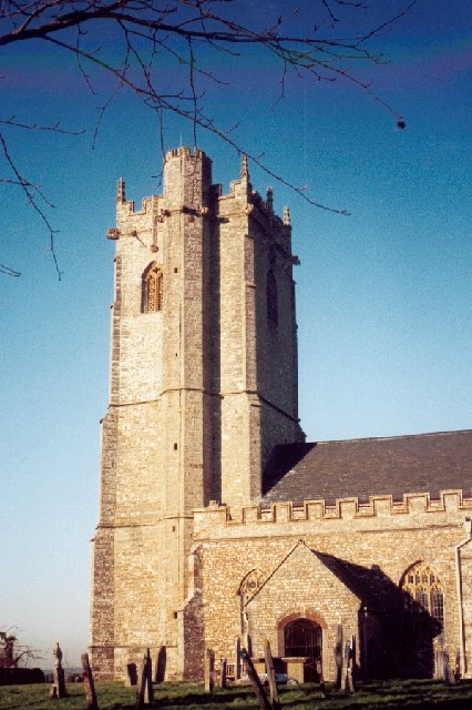
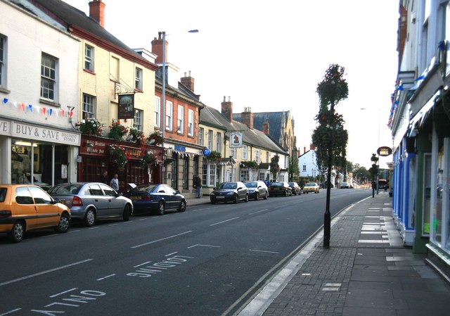
Wellington, Somerset
Wellington is a market town in rural Somerset, a county in the west of England, situated 7 miles (11 km) south west of Taunton, near the border with Devon...
Wellington Museum, Somerset
Wellington Museum is a free museum in Wellington, Somerset, England, devoted to the modern history of Wellington, particularly those linked with the woolen...
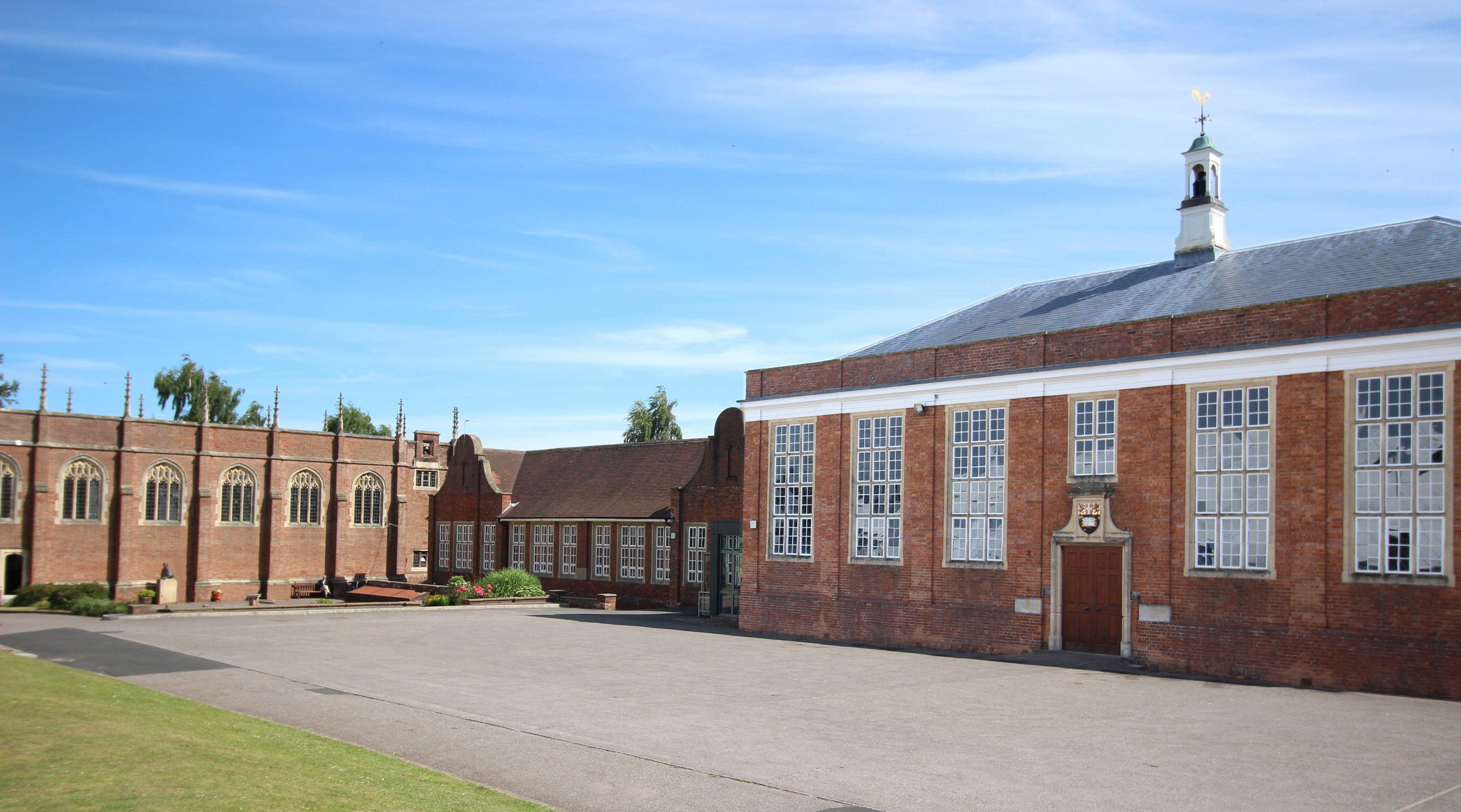
Wellington School, Somerset
Wellington School is a co-educational independent boarding and day school in the English public school tradition for pupils aged 3–18 located in Wellington...
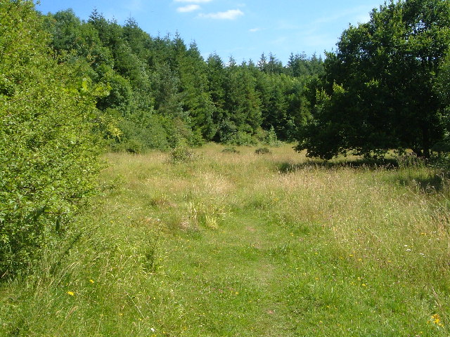
Quants Reserve
Quants Reserve is a nature reserve north west of Burnworthy in Somerset, England. It consists of a grassland clearing in a forestry plantation. It is well...

Wellington Rural District, Somerset
Wellington was a rural district in Somerset, England, from 1894 to 1974. It was created in 1894 under the Local Government Act 1894. In 1974 it was abolished...
Nearby Amenities
Located within 500m of 50.968,-3.19Have you been to Gerbestone Manor?
Leave your review of Gerbestone Manor below (or comments, questions and feedback).