Fosse Way
Heritage Site in Somerset Mendip
England
Fosse Way
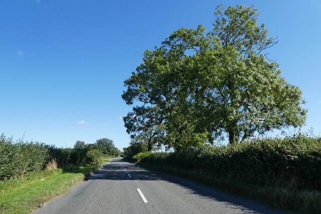
Fosse Way in Somerset is a historic heritage site that holds great significance in the region's history. This ancient Roman road stretches approximately 240 miles, connecting the cities of Exeter in Devon and Lincoln in Lincolnshire. Fosse Way played a crucial role in the Roman conquest of Britain, as it served as a major thoroughfare for military and civilian travel during the Roman occupation.
The road's construction dates back to the 1st century AD, and its name is derived from the Latin word "fossa," meaning ditch or trench. Fosse Way was built in a straight line, showcasing the Roman engineering prowess of the time. Today, the road's route can still be traced in Somerset, passing through various towns and villages, including Ilchester, Shepton Mallet, and Bath.
Walking along Fosse Way offers visitors a unique opportunity to immerse themselves in Roman history and experience the same path trodden by Roman soldiers and traders centuries ago. The road's historical significance has led to the preservation of several sections, with some areas even designated as protected heritage sites.
In addition to its historical significance, Fosse Way also provides stunning views of the Somerset countryside and passes through areas of natural beauty. The road's alignment has been modified over time due to modern development, but efforts have been made to preserve its essential character and maintain its historical integrity.
Overall, Fosse Way in Somerset stands as a testament to the Roman influence in Britain, showcasing the engineering prowess of the ancient civilization and providing visitors with a tangible connection to the past.
If you have any feedback on the listing, please let us know in the comments section below.
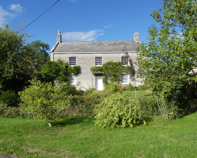
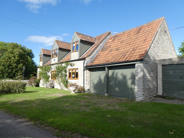
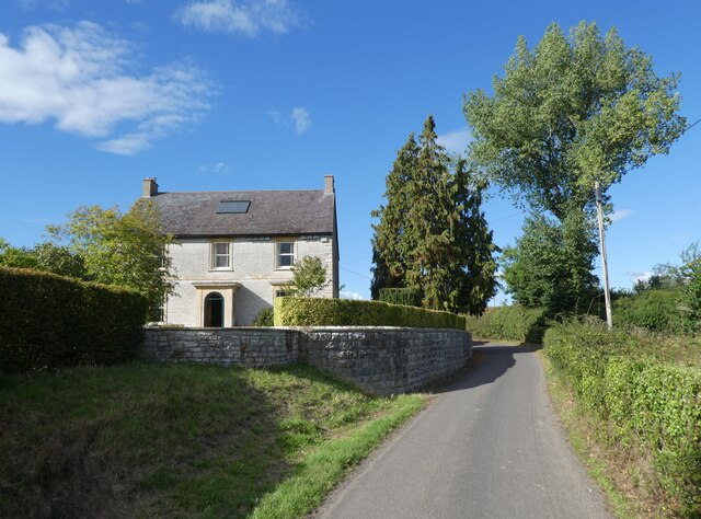
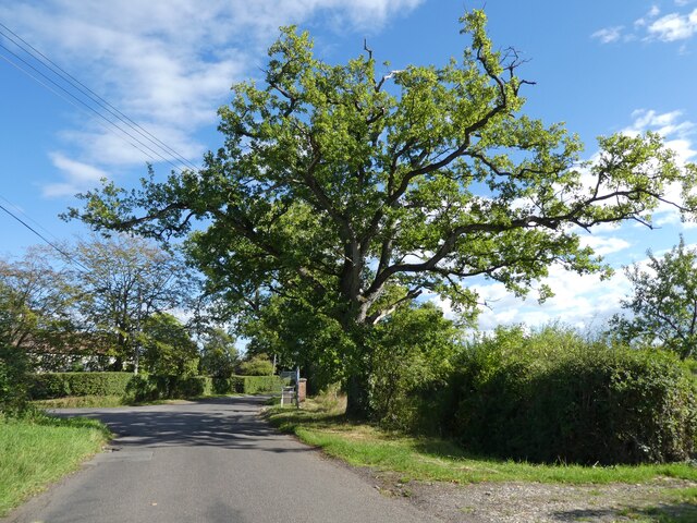
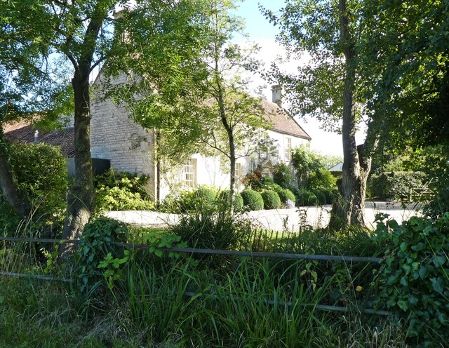
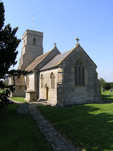
Fosse Way Images
Images are sourced within 2km of 51.098/-2.592 or Grid Reference ST5833. Thanks to Geograph Open Source API. All images are credited.


Fosse Way is located at Grid Ref: ST5833 (Lat: 51.098, Lng: -2.592)
Administrative County: Somerset
District: Mendip
Police Authority: Avon and Somerset
What 3 Words
///besotted.curtail.sidelined. Near Castle Cary, Somerset
Related Wikis

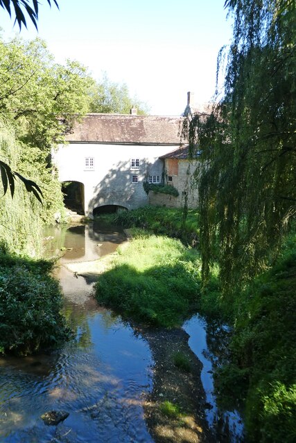
River Alham
The River Alham flows through Somerset, England. It rises at Higher Alham above Batcombe and runs through Alhampton, Milton Clevedon and joins the River...

Church of All Saints, Alford
The Church of All Saints which is next to the River Brue in Alford, Somerset, England, dates from the 15th century, with minor 19th-century restoration...

Church of St Mary, West Bradley
The Anglican Church of St Mary in Lottisham, West Bradley, Somerset, England, was built in 1876. It is a Grade II* listed building. == History == The church...
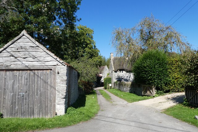
Alford, Somerset
Alford is a village and parish on the River Alham, in Somerset, England, situated 8 miles (12.9 km) south of Shepton Mallet and two miles west of Castle...

Church of the Blessed Virgin Mary, East Lydford
The Church of the Blessed Virgin Mary is a former Church of England church in East Lydford, Somerset, England. Designed by Benjamin Ferrey, it was built...

Church of St Peter, Lydford-on-Fosse
The Church of St Peter in Lydford-on-Fosse, Somerset, England was built in 1846. It is a Grade II* listed building. == History == The church was built...
Church of St Thomas of Canterbury, Lovington
The Church of St Thomas of Canterbury in Lovington, Somerset, England, was built in the 13th century. It is a Grade II* listed building. == History... ==

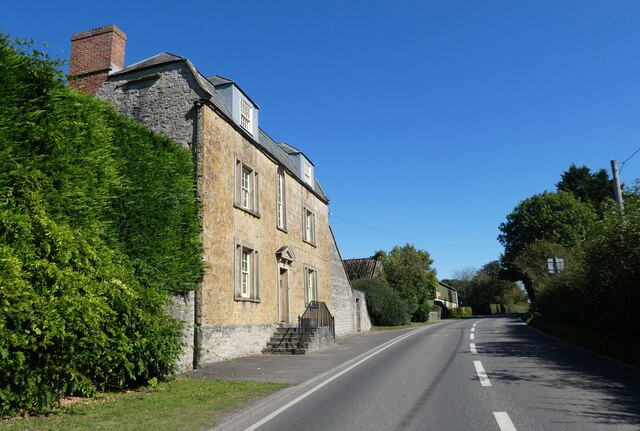
West Lydford
West Lydford is a village and former civil parish, now in the parish of Lydford-on-Fosse in Somerset, England. The village is spread along a stretch of...
Nearby Amenities
Located within 500m of 51.098,-2.592Have you been to Fosse Way ?
Leave your review of Fosse Way below (or comments, questions and feedback).