Fossditch

Heritage Site in Norfolk Breckland

England

Fossditch

Denton Lodge Trig Pillar Flush Bracket S2163.
Denton Lodge Trig Pillar Credit: David Bremner

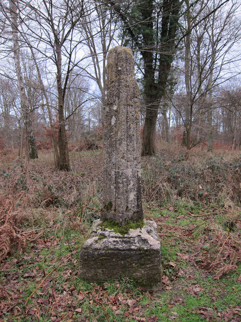
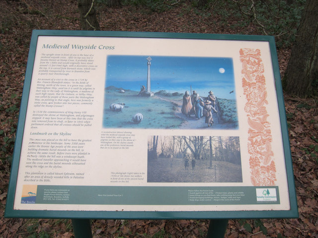
Fossditch, located in Norfolk, England, is a significant heritage site that holds historical and cultural value. This site, which dates back to the medieval period, is renowned for its unique ditches and earthworks. The name "Fossditch" itself translates to "ditch in the forest," highlighting its historical significance as a defensive structure.

The site encompasses an extensive network of ditches, forming a fascinating labyrinthine pattern. These ditches were originally constructed in the 13th century as part of a defensive system to protect the nearby settlement. They were strategically designed to impede enemy movements and provide a tactical advantage during times of conflict.

The ditches at Fossditch are known for their exceptional preservation, showcasing the craftsmanship and engineering skills of the medieval period. The site offers a remarkable insight into the defensive strategies and military architecture of the time.

Fossditch, with its rich historical context, has also become an important archaeological site. Excavations have revealed numerous artifacts and structures, shedding light on the lives and activities of the people who inhabited the area centuries ago.

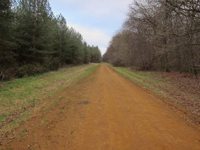
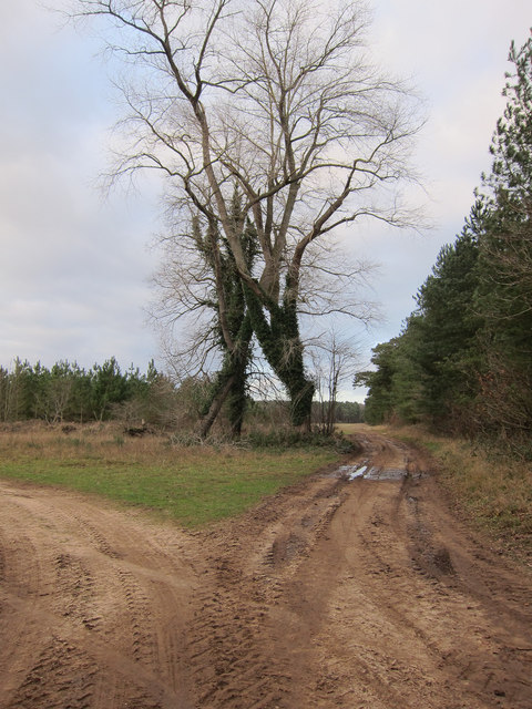
Today, Fossditch serves not only as a testament to the region's medieval heritage but also as a recreational space for locals and tourists alike. The site is surrounded by picturesque landscapes, making it an ideal spot for nature walks and exploration. Visitors can marvel at the intricate earthworks, imagining the intricacies of medieval life and the strategic importance of Fossditch.

If you have any feedback on the listing, please let us know in the comments section below.
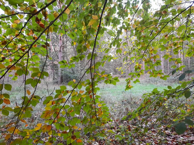
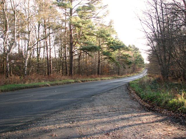
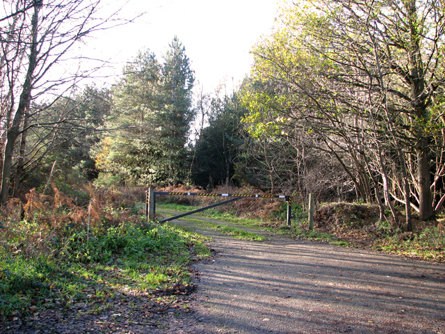
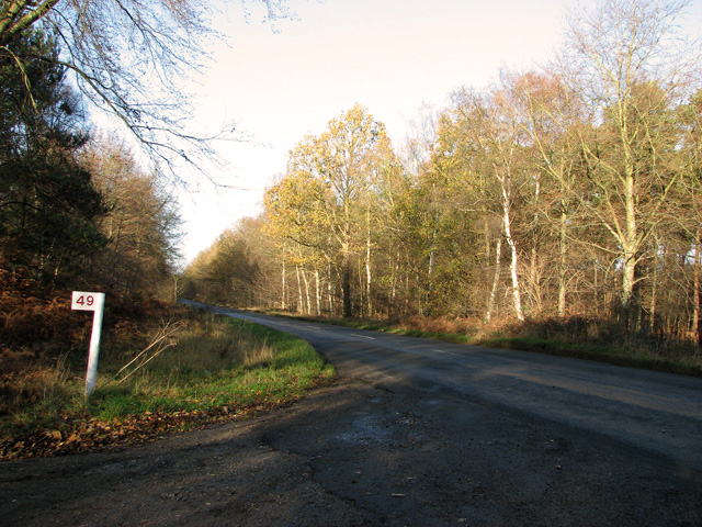
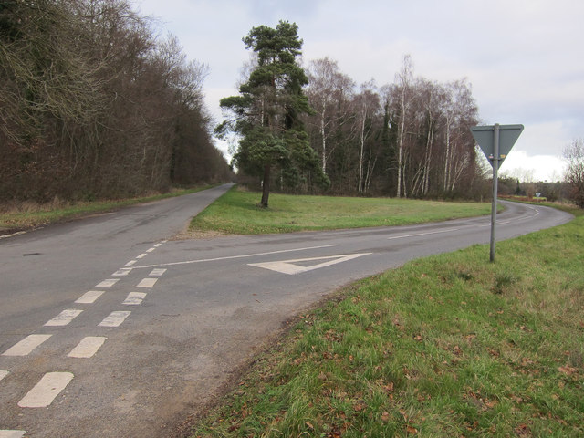
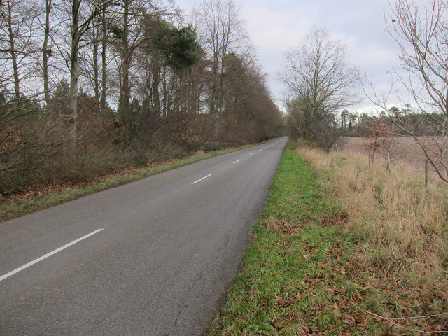
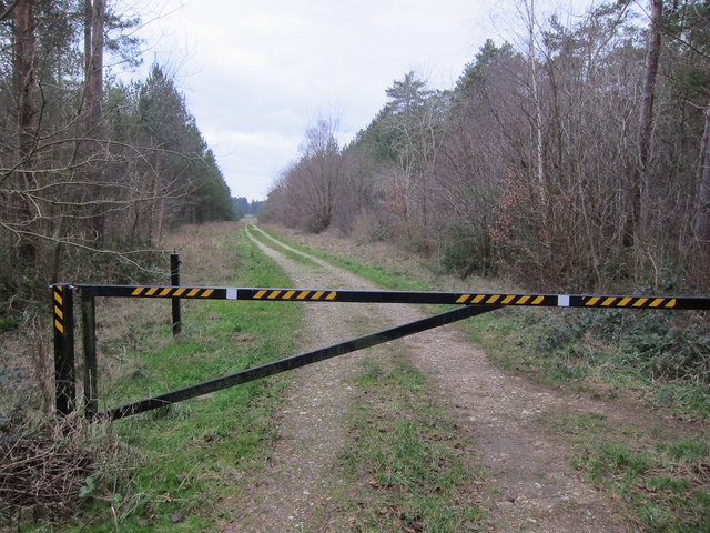
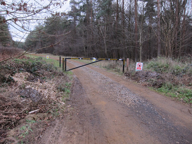
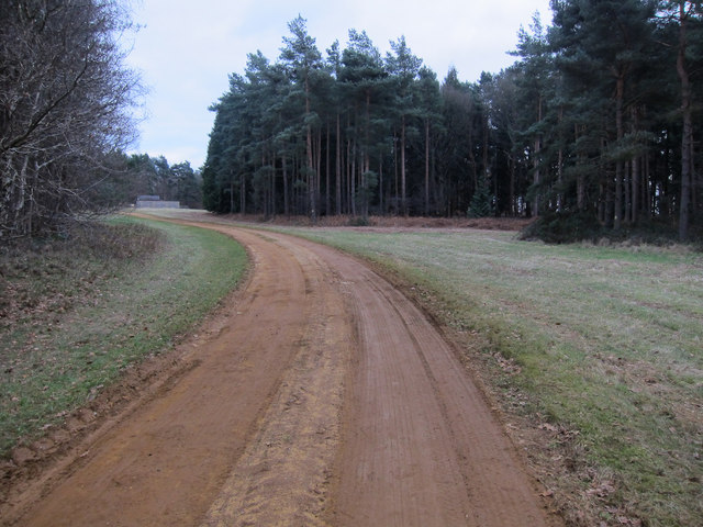
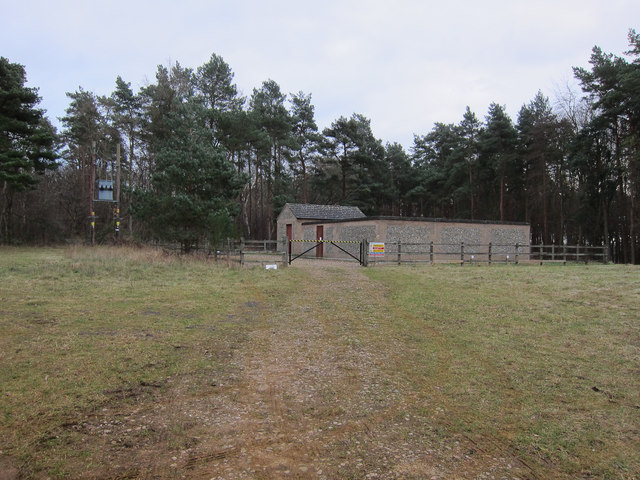
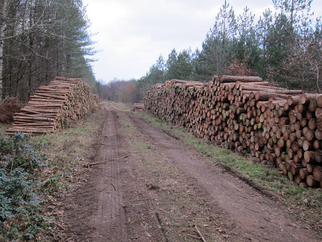
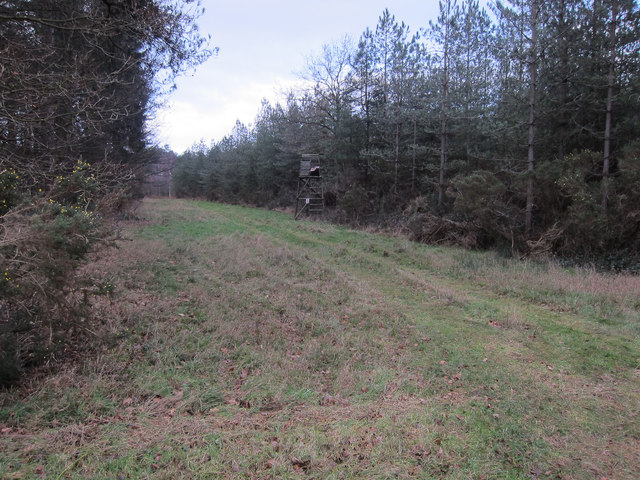
Fossditch Images

Images are sourced within 2km of 52.492/0.6 or Grid Reference TL7691. Thanks to Geograph Open Source API. All images are credited.

Denton Lodge Trig Pillar Flush Bracket S2163.
Denton Lodge Trig Pillar
Flush Bracket S2163.
Forest at Cranwich Heath
Lane past Lynnroad Covert, Weeting
Track into Lynnroad Covert, Weeting
View towards Lynnroad Covert, Weeting
Stump Cross, Mount Ephraim An information board <a href="https://www.geograph.org.uk/photo/2766934">TL7791 : Medieval wayside cross, information board</a> on the bridleway highlights the presence of the remains of the medieval wayside cross in the woods. It is believed to date from the 1300s and to have originally been 4m high. At that time the area was not wooded and it would have been prominent on the skyline. The area was one of pilgrimage until the commissioners of Henry VIII destroyed the shrine at Walsingham. The cross was believed to have been broken either at this point or in 1643 when parliament ordered all crosses were pulled down.
Stump Cross, Mount Ephraim
An information board TL7791 : Medieval wayside cross, information board on the bridleway highlights the presence of the remains of the medieval wayside cross in the woods. It is believed to date from the 1300s and to have originally been 4m high. At that time the area was not wooded and it would have been prominent on the skyline. The area was one of pilgrimage until the commissioners of Henry VIII destroyed the shrine at Walsingham. The cross was believed to have been broken either at this point or in 1643 when parliament ordered all crosses were pulled down.
Medieval wayside cross, information board Giving details of the remains of the medieval wayside cross in the woods. The remains are now known as Stump Cross.
Medieval wayside cross, information board
Giving details of the remains of the medieval wayside cross in the woods. The remains are now known as Stump Cross.
Forest track, Mount Ephraim One of many in Thetford Forest. This area is an open access area.
Forest track, Mount Ephraim
One of many in Thetford Forest. This area is an open access area.
Pilgrim's Walk Restricted byway heading north from Weeting.
Pilgrim's Walk
Restricted byway heading north from Weeting.
Field Barn Small area of farmland on Cranwich Heath.
Field Barn
Small area of farmland on Cranwich Heath.
Minor crossroads Two roads across Cranwich Heath.
Minor crossroads
Two roads across Cranwich Heath.
Minor road across Cranwich Heath With a small area of arable land on the right.
Minor road across Cranwich Heath
With a small area of arable land on the right.
Forest track Gated to prevent unauthorised vehicle access but the area is open access for walking.
Forest track
Gated to prevent unauthorised vehicle access but the area is open access for walking.
Restricted byway This path to Weeting starts off on a forestry track.
Restricted byway
This path to Weeting starts off on a forestry track.
Restricted byway through Wellington Plantation Along a forestry track through Thetford Forest.
Restricted byway through Wellington Plantation
Along a forestry track through Thetford Forest.
Anglian Water compound Presumably an abstraction point.
Anglian Water compound
Presumably an abstraction point.
Logs ready for collection Two large piles of logs on Mount Ephraim, Thetford Forest.
Logs ready for collection
Two large piles of logs on Mount Ephraim, Thetford Forest.
Forest track, Mount Ephraim With a high seat for shooting deer.
Forest track, Mount Ephraim
With a high seat for shooting deer.
Show me another place!

Fossditch is located at Grid Ref: TL7691 (Lat: 52.492, Lng: 0.6)

Administrative County: Norfolk

District: Breckland

Police Authority: Norfolk

What 3 Words

///free.laugh.whirlpool. Near Weeting, Norfolk

Related Wikis

South West Norfolk (UK Parliament constituency)

South West Norfolk is a constituency represented in the House of Commons of the UK Parliament since 2010 by Liz Truss of the Conservative Party, who briefly...

Weeting Castle

Weeting Castle is a ruined, medieval manor house near the village of Weeting in Norfolk, England. It was built around 1180 by Hugh de Plais, and comprised...

Cranwich Camp

Cranwich Camp is a 13.1-hectare (32-acre) biological Site of Special Scientific Interest north-west of Thetford in Norfolk. It is part of the Breckland...

Weeting

Weeting is a village in Norfolk, England. The population can be found in the civil parish of Weeting-with-Broomhill. The village's name means 'wet place...

Nearby Amenities

Located within 500m of 52.492,0.6
Barrier: bar
Lat/Long: 52.4912216/0.5958271
Barrier: bar
Lat/Long: 52.4958766/0.597251
The data included in this document is from www.openstreetmap.org. The data is made available under ODbL.

Have you been to Fossditch?

Leave your review of Fossditch below (or comments, questions and feedback).