Foss Way

Heritage Site in Lincolnshire North Kesteven

England

Foss Way

Swinderby Trig Point Flush Bracket S4628
Swinderby Trig Point Flush Bracket S4628 Credit: thejackrustles

Foss Way is a historic site located in Lincolnshire, England. It is a part of the Roman road network known as Fosse Way, which connected the cities of Lincoln and Leicester. This heritage site holds significant historical importance as it reflects the Roman occupation of Britain.

Foss Way is believed to have been constructed around AD 47, during the reign of Emperor Claudius. The road was built to facilitate the movement of Roman troops and supplies throughout the region. It follows a straight line for much of its length and is known for its engineering excellence, as it was built on a raised foundation to ensure durability and provide drainage.

The site showcases well-preserved remnants of the Roman road, including sections of the original stone surface. Visitors can marvel at the precision and craftsmanship of the Roman engineers, as they walk along the ancient route. Along the way, informational signs provide insights into the historical significance of Foss Way and the Roman occupation of Lincolnshire.

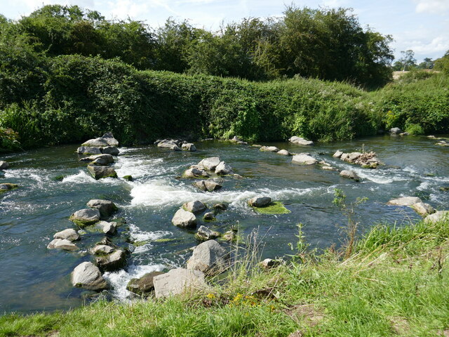
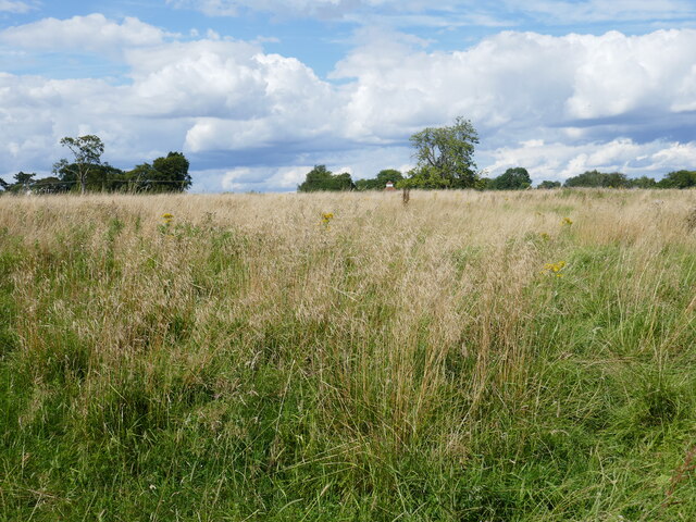
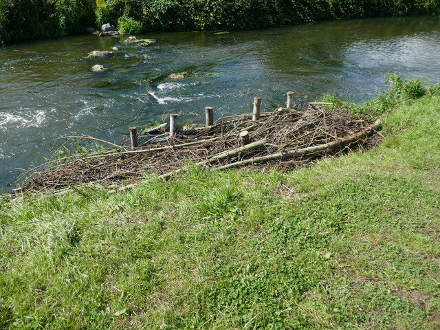
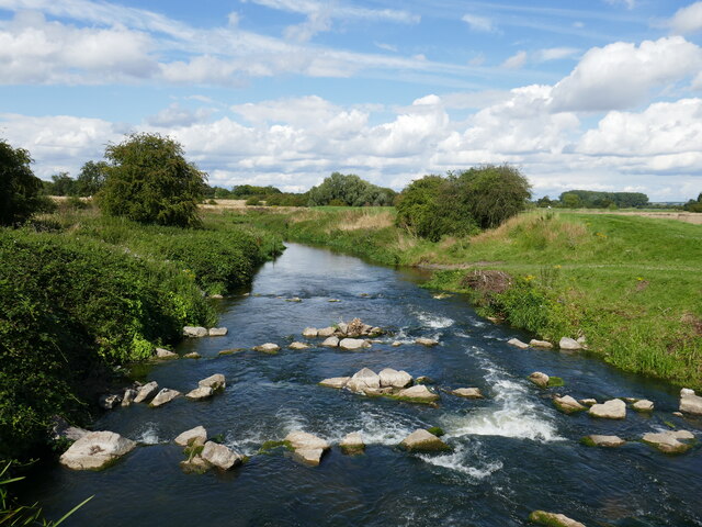
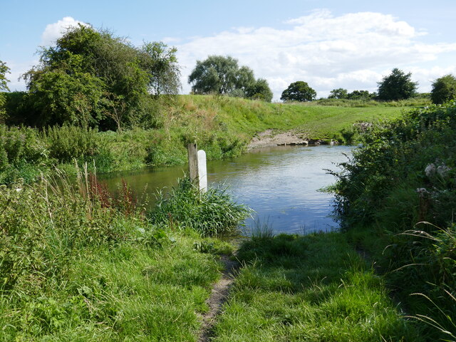
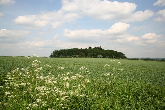
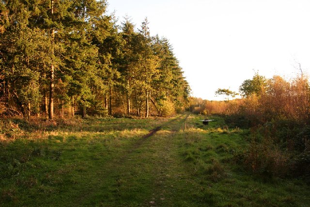
Foss Way also offers breathtaking views of the surrounding countryside. The road cuts through picturesque landscapes, with rolling hills and expansive fields. This makes it a popular destination for nature enthusiasts and hikers, who can enjoy the beauty of both the natural and historical aspects of the site.

Overall, Foss Way in Lincolnshire is a valuable heritage site that attracts visitors from all over the world. It provides a glimpse into the ancient Roman civilization and offers a unique experience for history lovers and nature enthusiasts alike.

If you have any feedback on the listing, please let us know in the comments section below.
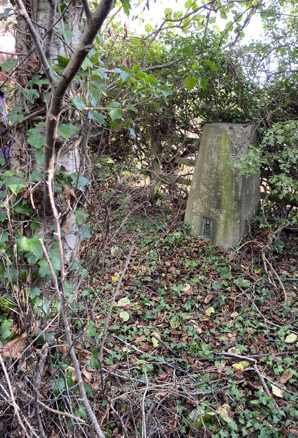
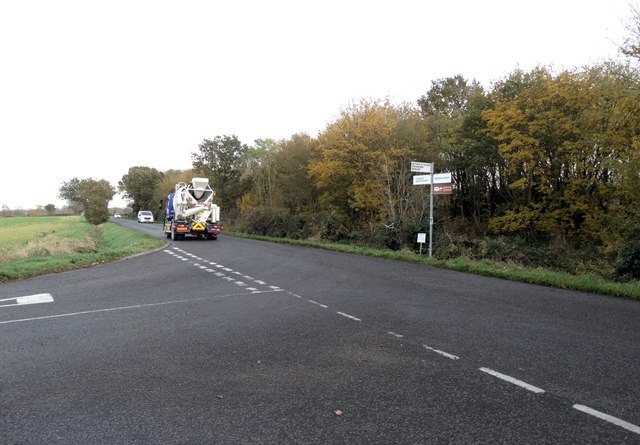
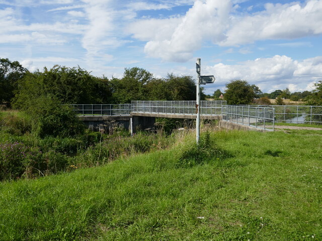
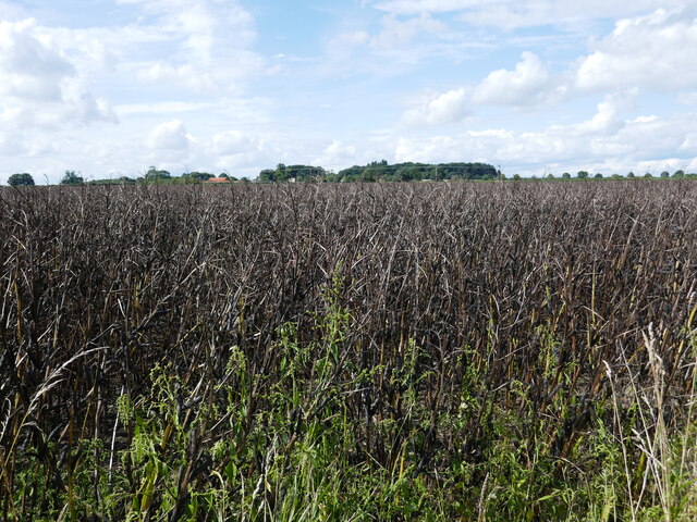
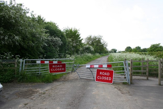
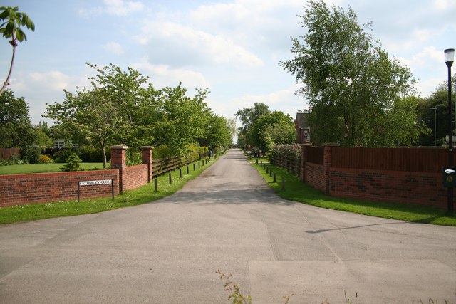
Foss Way Images

Images are sourced within 2km of 53.16/-0.662 or Grid Reference SK8963. Thanks to Geograph Open Source API. All images are credited.

Swinderby Trig Point Flush Bracket S4628
Road junction south of Witham St Hughs
Merry Christmas Festive lights on Oak Tree Drive, Witham St. Hughs
Merry Christmas
Festive lights on Oak Tree Drive, Witham St. Hughs
Mill Lane Bridge Crosses the River Witham at the site of a former mill.
Mill Lane Bridge
Crosses the River Witham at the site of a former mill.
Bean field near Haddington High Walks Farm in the distance.
Bean field near Haddington
High Walks Farm in the distance.
Weir on the River Witham near Haddington
Hall Close, Haddington The site of two Manor Houses and later Hall and ancillary buildings <span class="nowrap"><a title="https://historicengland.org.uk/listing/the-list/list-entry/1021080?section=official-list-entry" rel="nofollow ugc noopener" href="https://historicengland.org.uk/listing/the-list/list-entry/1021080?section=official-list-entry">Link</a><img style="margin-left:2px;" alt="External link" title="External link - shift click to open in new window" src="https://s1.geograph.org.uk/img/external.png" width="10" height="10"/></span> The dovecote (just visible in the centre of the picture) has been restored.
Hall Close, Haddington
The site of two Manor Houses and later Hall and ancillary buildings LinkExternal link The dovecote (just visible in the centre of the picture) has been restored.
Bank re-inforcement A fence of what looks like willow has been built along part of the river bank whoch is eroding. The gap behind has then been infilled with other material to strengthen it.
Bank re-inforcement
A fence of what looks like willow has been built along part of the river bank whoch is eroding. The gap behind has then been infilled with other material to strengthen it.
The River Witham below Mill Lane Bridge
Ford through the River Witham I didn't try to see if this is usable.
Ford through the River Witham
I didn't try to see if this is usable.
Approaching the River Witham near Haddington
Restricted byway near Haddington
Fosse Way Looking East along the line of the Roman Fosse Way towards Lincoln from the new bridge at Thorpe on the Hill
Fosse Way
Looking East along the line of the Roman Fosse Way towards Lincoln from the new bridge at Thorpe on the Hill
Haddington Weir Haddington weir from another angle. When I was growing up it was always referred to as Aubourn weir. The local kids used to go swimming in the summertime but it became less popular when one lad had his nipple taken clean off as he went over the weir.
Haddington Weir
Haddington weir from another angle. When I was growing up it was always referred to as Aubourn weir. The local kids used to go swimming in the summertime but it became less popular when one lad had his nipple taken clean off as he went over the weir.
High Walks Small wood known as High Walks crowning a low hill west of Haddington.
High Walks
Small wood known as High Walks crowning a low hill west of Haddington.
Stone Lane Stone Lane used to run from Haddington to the Fosseway, once the A46 was made dual carriageway, the road was closed.
Stone Lane
Stone Lane used to run from Haddington to the Fosseway, once the A46 was made dual carriageway, the road was closed.
Haddington cross roads Where Stone Lane and Butts Lane meet Haddington Lane
Haddington cross roads
Where Stone Lane and Butts Lane meet Haddington Lane
Sheep Sheep with Lambs in a field at Haddington
Sheep
Sheep with Lambs in a field at Haddington
Show me another place!

Foss Way is located at Grid Ref: SK8963 (Lat: 53.16, Lng: -0.662)

Division: Parts of Kesteven

Administrative County: Lincolnshire

District: North Kesteven

Police Authority: Lincolnshire

What 3 Words

///kicked.rekindle.send. Near Bassingham, Lincolnshire

Nearby Locations

Ash Holt Foss Way

Related Wikis

Witham St Hughs

Witham St Hughs is a village in the Parish of Thurlby in the North Kesteven district of Lincolnshire, England. The population of the civil parish (including...

RAF Swinderby

Royal Air Force Swinderby or more simply RAF Swinderby is a former Royal Air Force station airfield opened in 1940, one of the last of the stations completed...

HM Prison Morton Hall

HM Prison Morton Hall is a Category C men's prison, located in the village of Morton Hall (near Lincoln) in Lincolnshire, England. The centre is operated...

Haddington, Lincolnshire

Haddington is a hamlet in the North Kesteven district of Lincolnshire, England. It is situated just off the Fosse Way Roman road, now the A46, 7 miles...

Morton Hall

Morton Hall is a small village in the civil parish of Swinderby , in the North Kesteven district of Lincolnshire, England. It is situated 8 miles (13 km...

Thurlby, North Kesteven

Thurlby is a village and civil parish in the North Kesteven district of Lincolnshire, England, about 9 miles (14 km) south-west of the city of Lincoln...

Tunman Wood

Tunman Wood is a local nature reserve with an area of over 53 ha (130 acres) located near Eagle Barnsdale, Lincolnshire. It is an area of ancient woodland...

Eagle Barnsdale

Eagle Barnsdale is a village in the North Kesteven district of Lincolnshire, England. The population can be found included in the civil parish of Eagle...

Nearby Amenities

Located within 500m of 53.16,-0.662
Parking
Description: Layby
Ele: 30.0000000
Lat/Long: 53.1586987/-0.6651261
Parking
Designation: layby
Lat/Long: 53.1580298/-0.6675776
Sheep Walks Farm
Place: farm
Source: Bing
Lat/Long: 53.157516/-0.655996
The data included in this document is from www.openstreetmap.org. The data is made available under ODbL.

Have you been to Foss Way ?

Leave your review of Foss Way below (or comments, questions and feedback).